Bourne: Cape Code Bike and Walking Path
This page is about Cape Cod Canal Biking and Walking path in Bourne. You can also go to the general Bourne page for other preserves there.
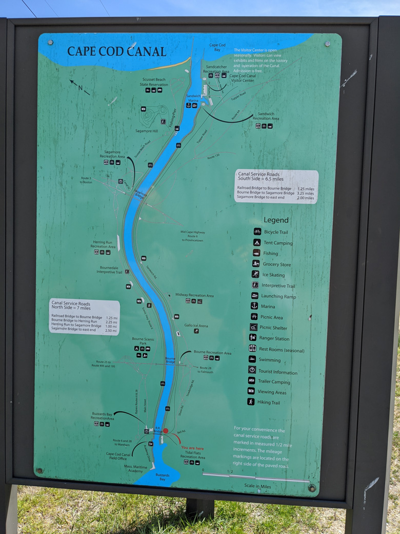
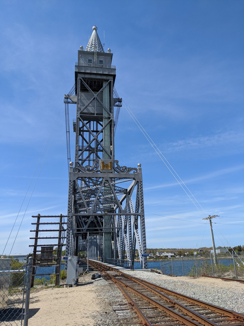
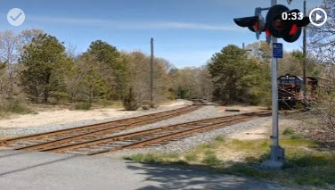
The United States Army Corps of Engineers maintains long 'service roads' on each side of the Cape Cod Canal. These are open to the public and are used for bicycling and walking. This page of our website is about the south side, which is on the Cape. In the Spring of 2020, we went to the western end of the path. (See the 'You are Here' near the bottom of the map in this picture.)
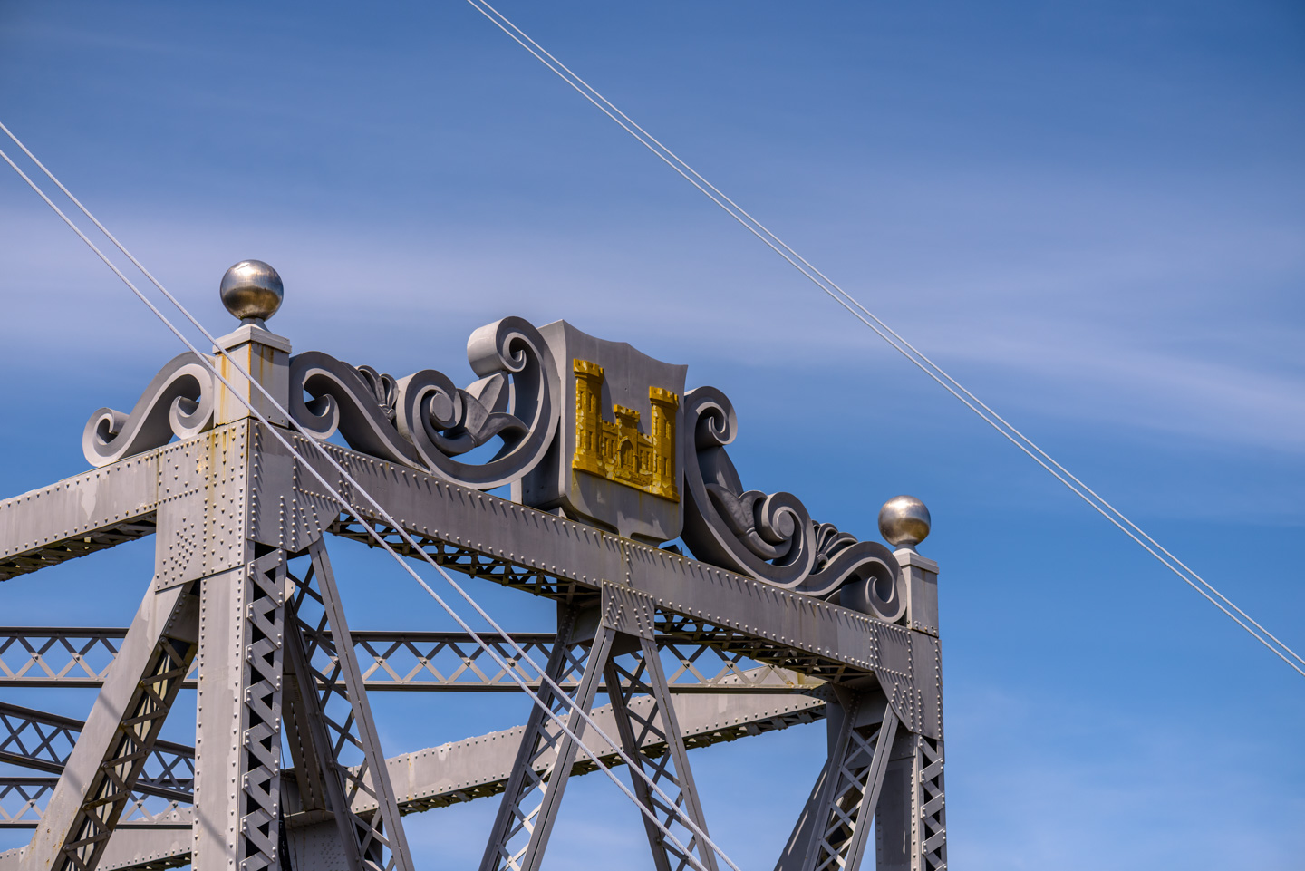
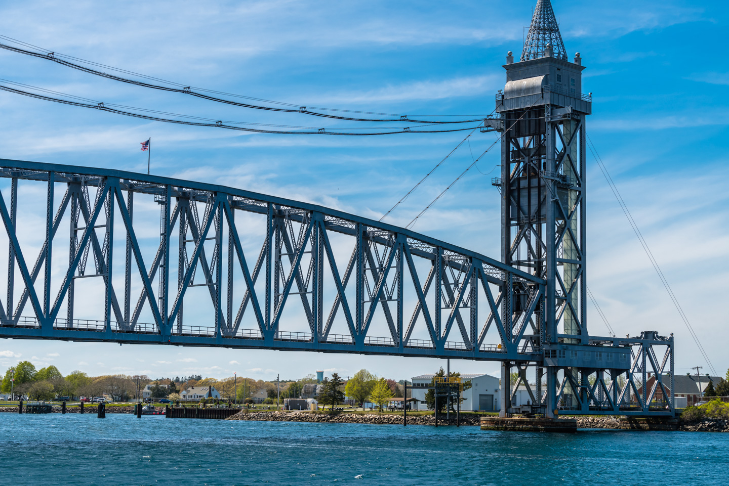
There is a railroad bridge (Wikipedia entry on the bridge) that goes across the canal on this end. These next two pictures were taken down the path slightly, actually where we came out using the Nickerson Preserve path.
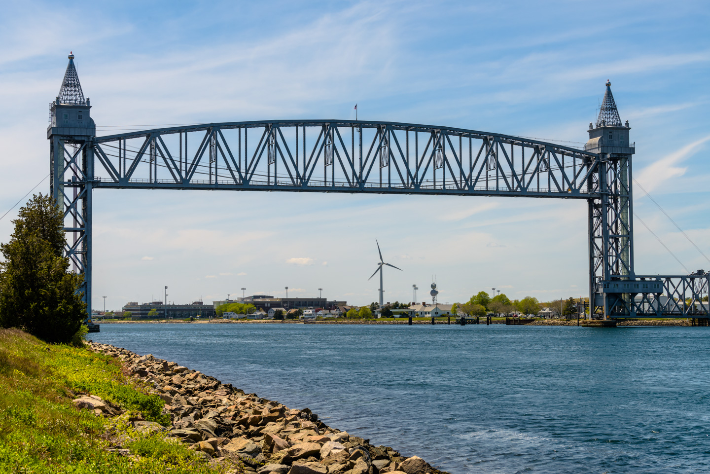
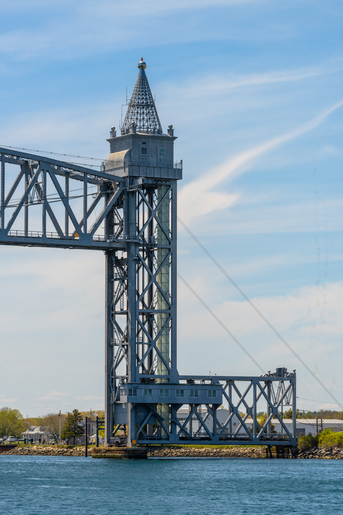
There is a fun castle symbol at the top of the bridge on each end.
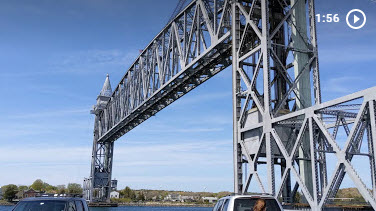
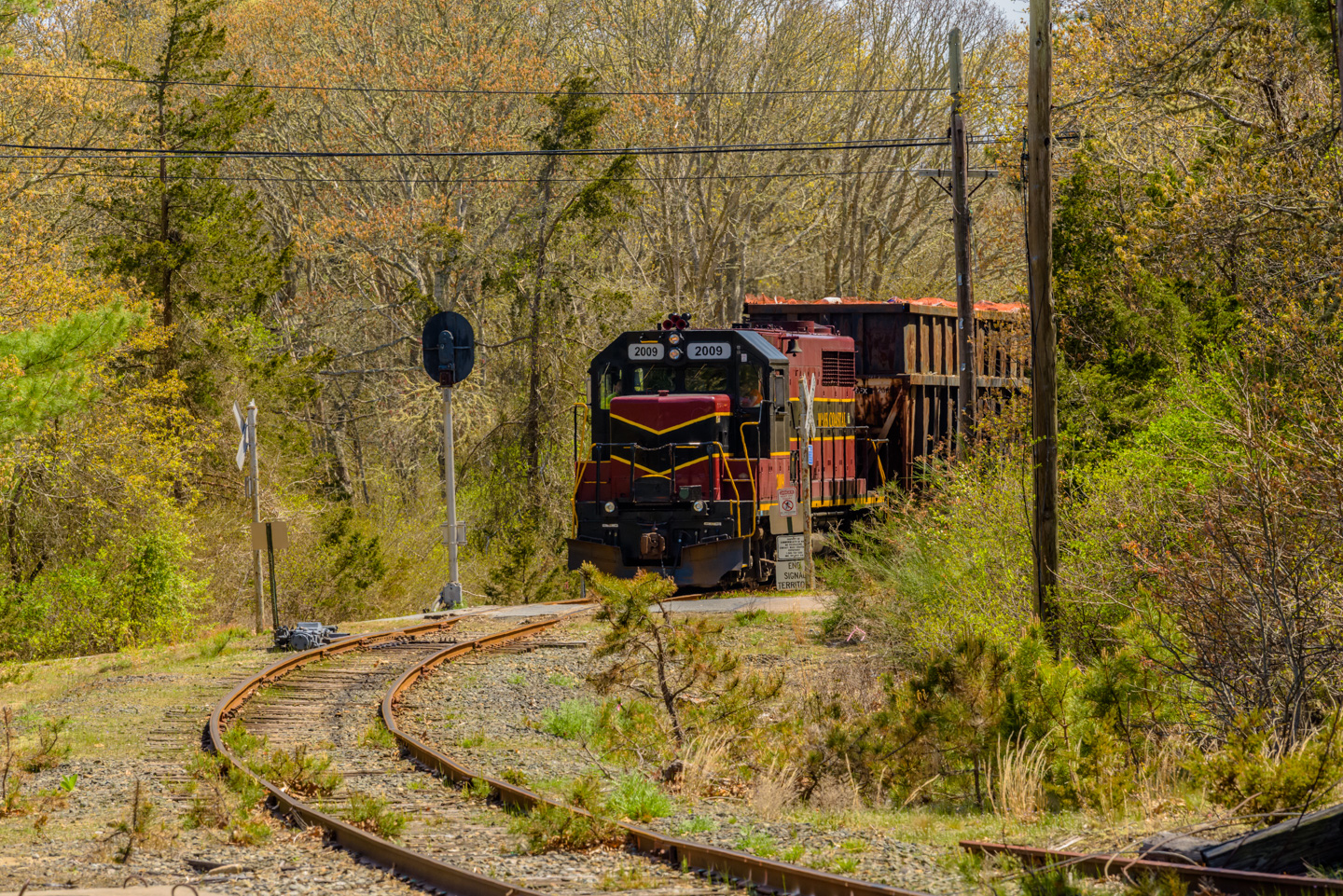
The above pics show how the bridge looks most of the time. But it is a working railroad track. We happened to be there when a train was heading from the Cape back to the mainland. In the summer there are tourist trains, but most of the time the trains are refuse or cargo. Before a train can cross the bridge, the deck needs to be lowered. Here is a link to our video of the deck being lowered. Notice the counterweights on each end that are rising up as the deck is being lowered. (1 minute 56 seconds but you will get the idea must sooner than that.)
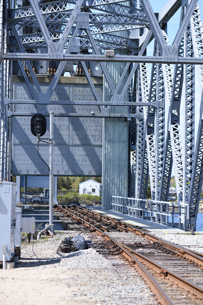
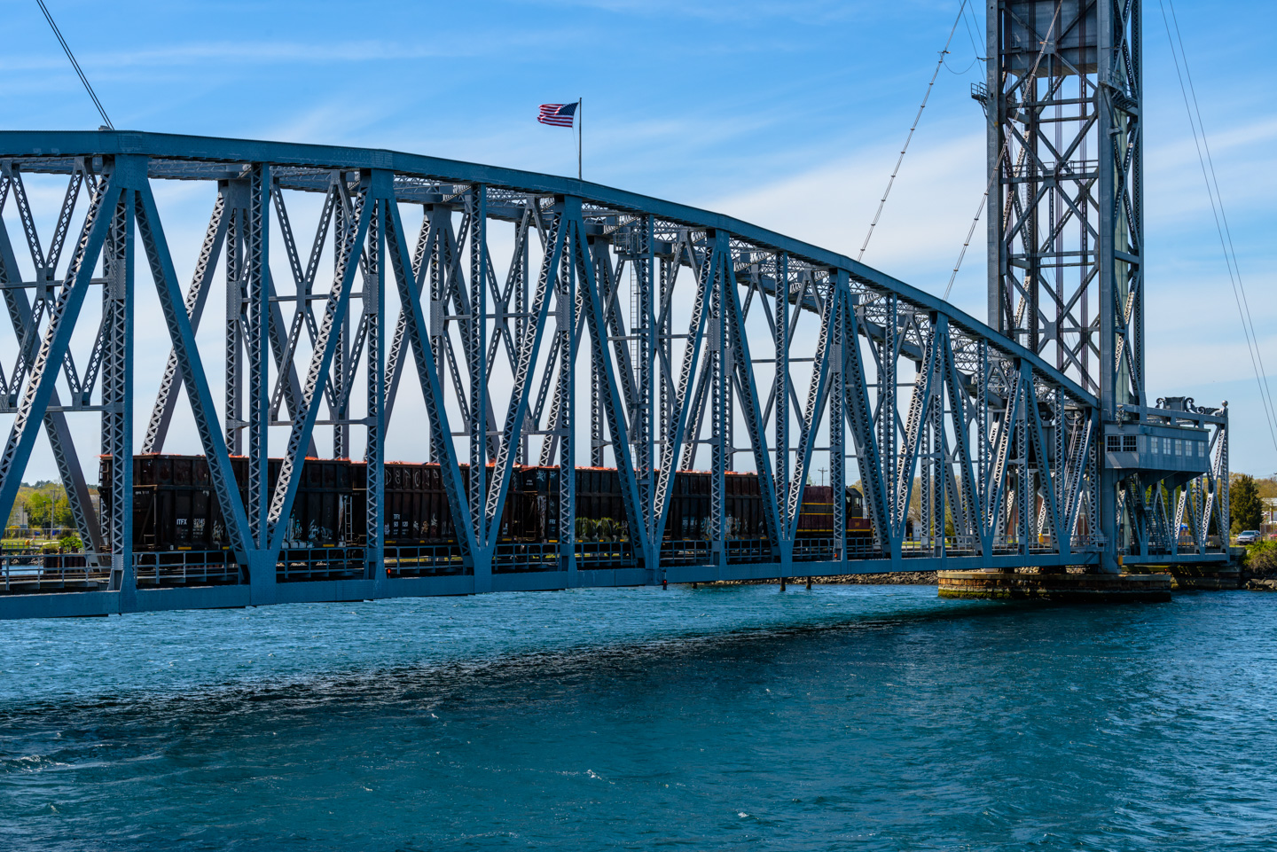
Looking across the bridge with the deck in the down position:
Wait! Look what is coming:
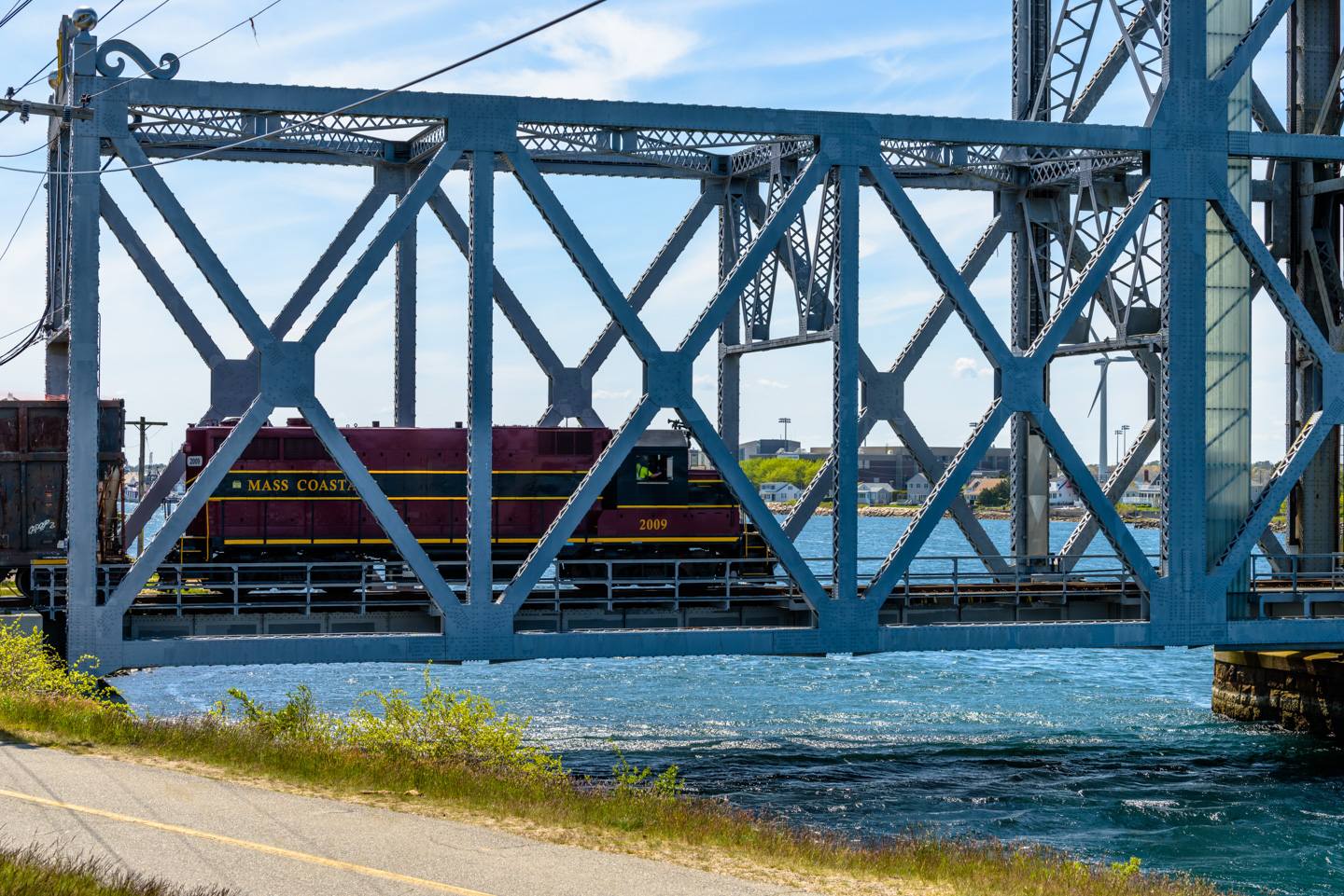
Crossing the Canal:
We took a video of the bridge approaching the bridge and starting to cross. The conductor appreciated having a fan and waved.
As the old expression (doesn't) go, what goes down must go up.
We were very happy to have been at the bridge at the correct time to see and capture the process of the train crossing.
Back to the Preserves main page
Updated April 2026