Cataumet Preserves
Cataumet is a village on Cape Cod. It is a small village that is one of the many that are part of Bourne, Massachusetts.
Reserves we have visited in Cataumet:
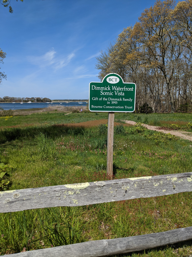
Dimmick Waterfront Scenic Vista
This location doesn't have a website.
PDF Map that includes Dimmick (#13)
This is a pretty long fancy name for a small outlook spot. We stumbled on this while driving between a couple other preserves. If you look at the PDF trail map linked to above, you will see it is part of a larger system of trails, called the Cataumet Greenway. Dimmick is the tiny little section on the left of the map, going from Red Brook Harbor Road to the water (location #13). However, just because it is small does not mean that it is not pleasant. The Bourne Conservation Trust gives the following description:
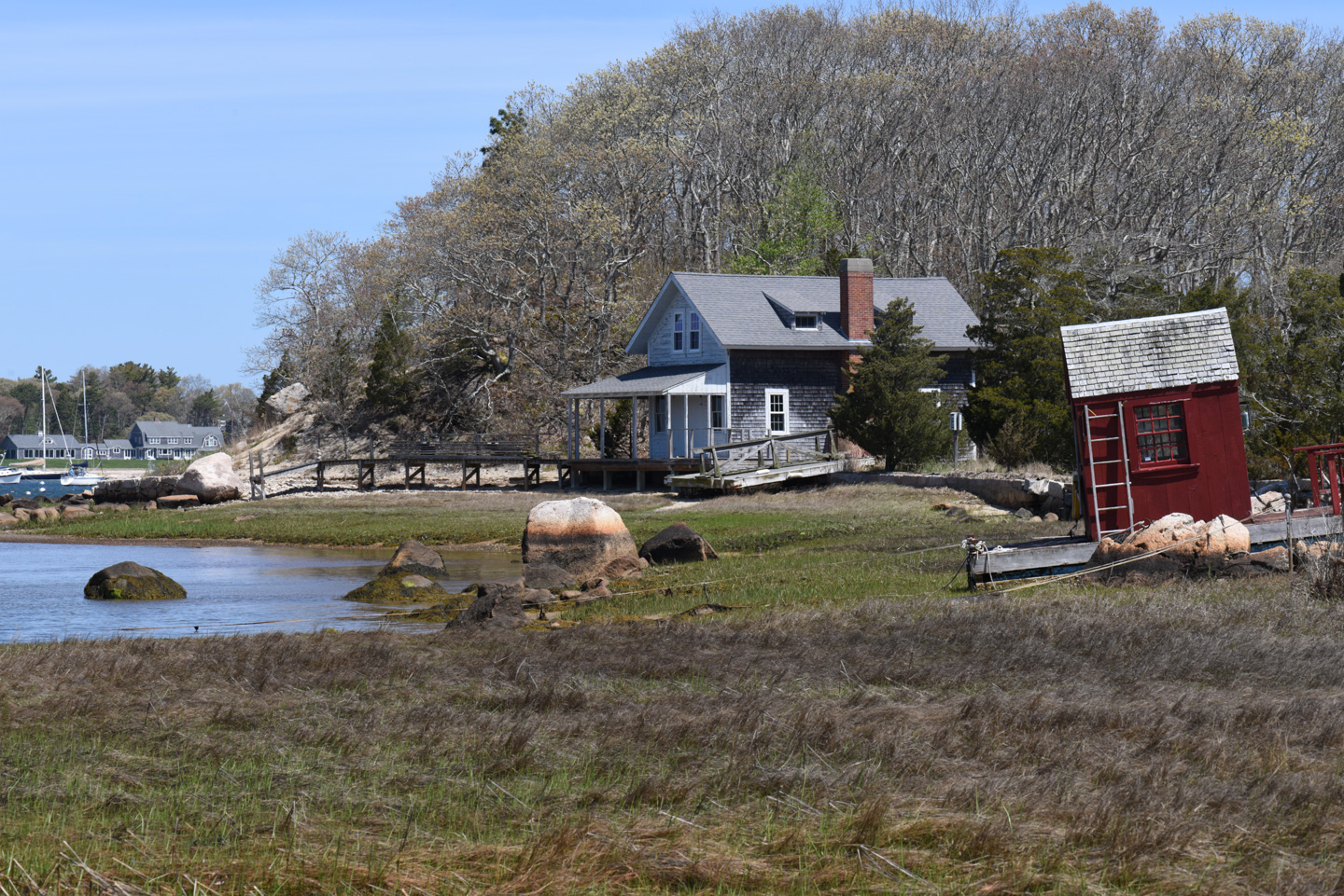
Dimmick Waterfront - 2 1/2 acres of lowlands donated by the Dimmick family. A stone bench (Ferne Robinson memorial) in this field of wildflowers [and] grasses is an ideal spot for viewing sunsets over [Red] Brook Harbor.
This is the view from the small parking area for the vista:
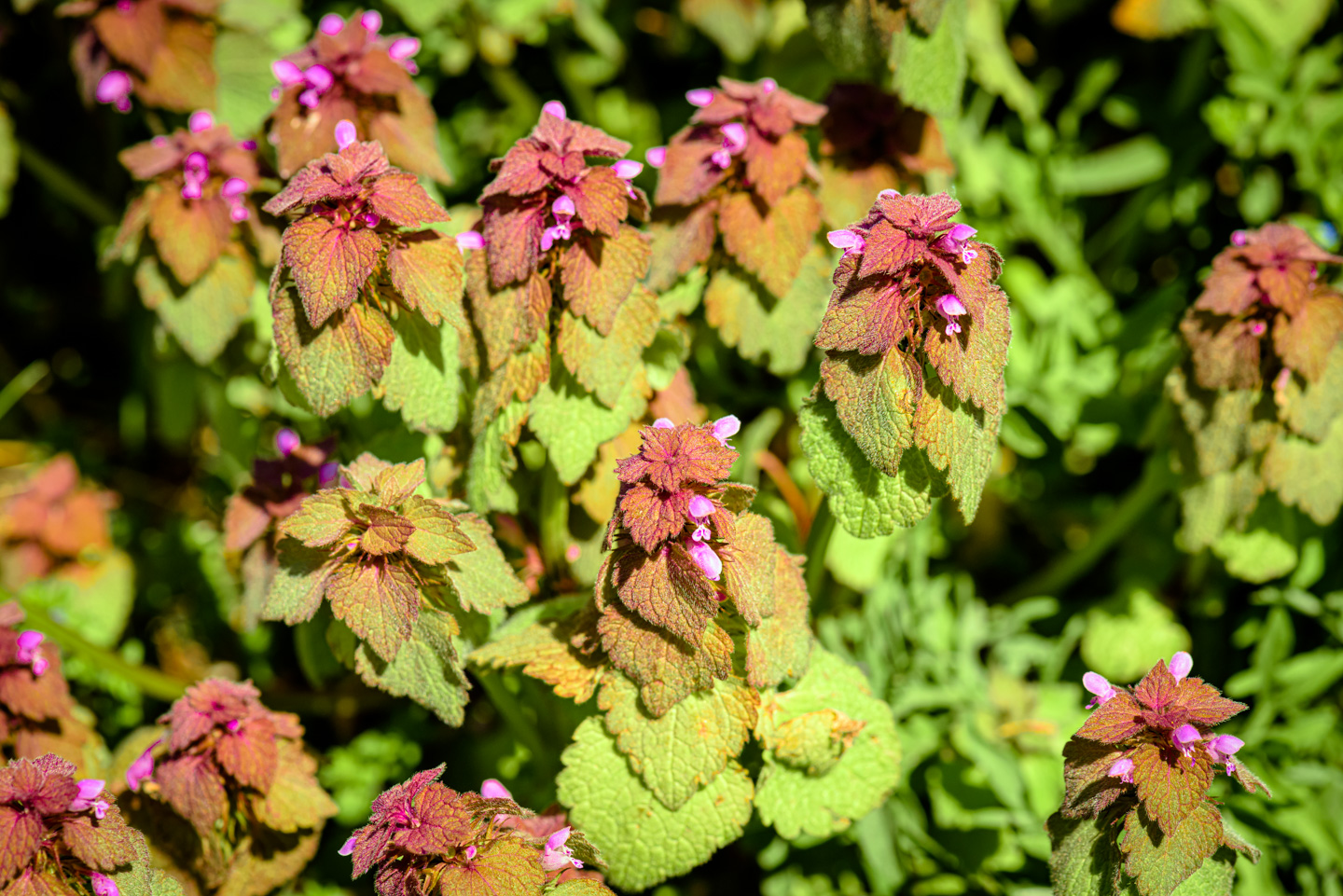
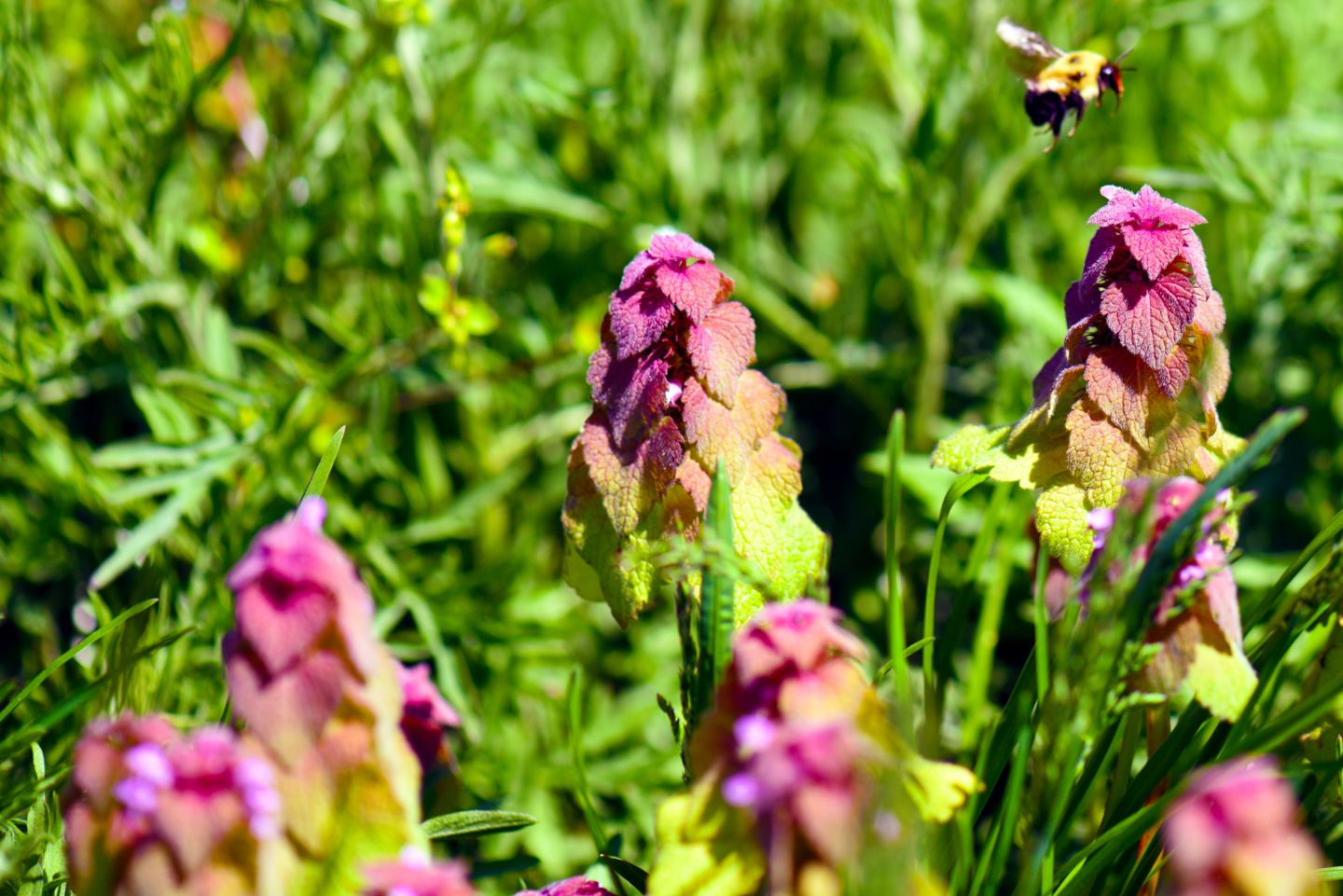
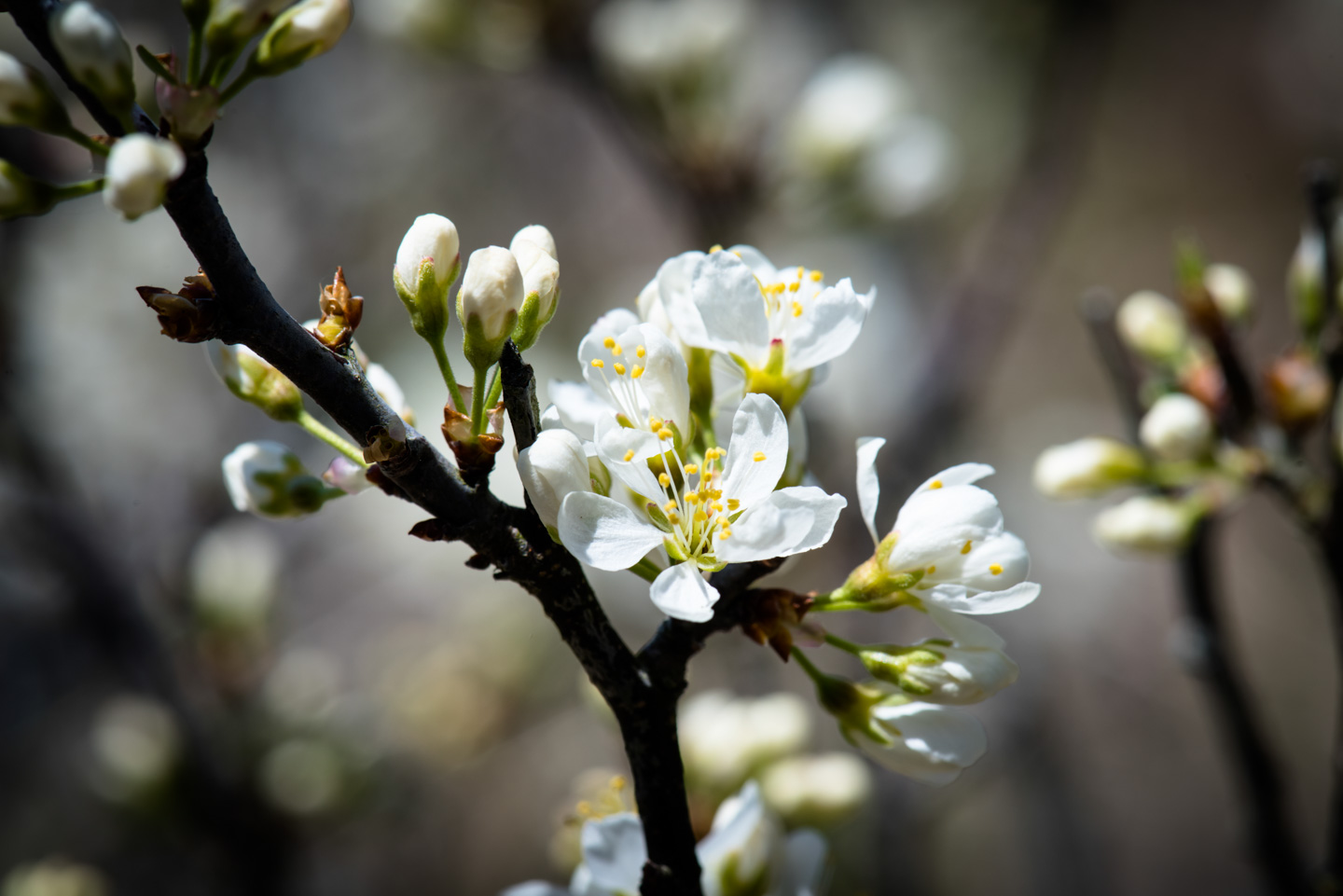
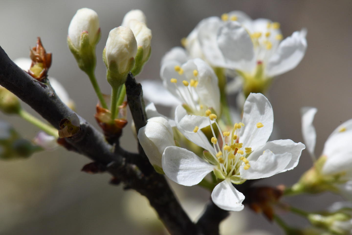
If you have keen eyes, you might notice a small person in that previous picture. They are sitting on a stone bench. Scattered about the field on the way to the water were patches of Dead Nettle, which can be very pretty with the various shades of green and purple.
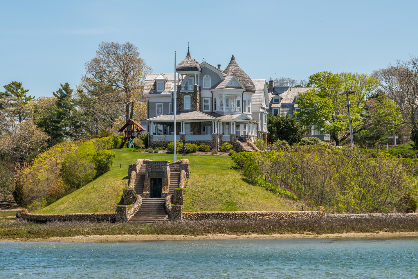
The house that is near the vista's waterfront gets a pretty view of the harbor.
Lawrence Island
Location (of parking) on a map
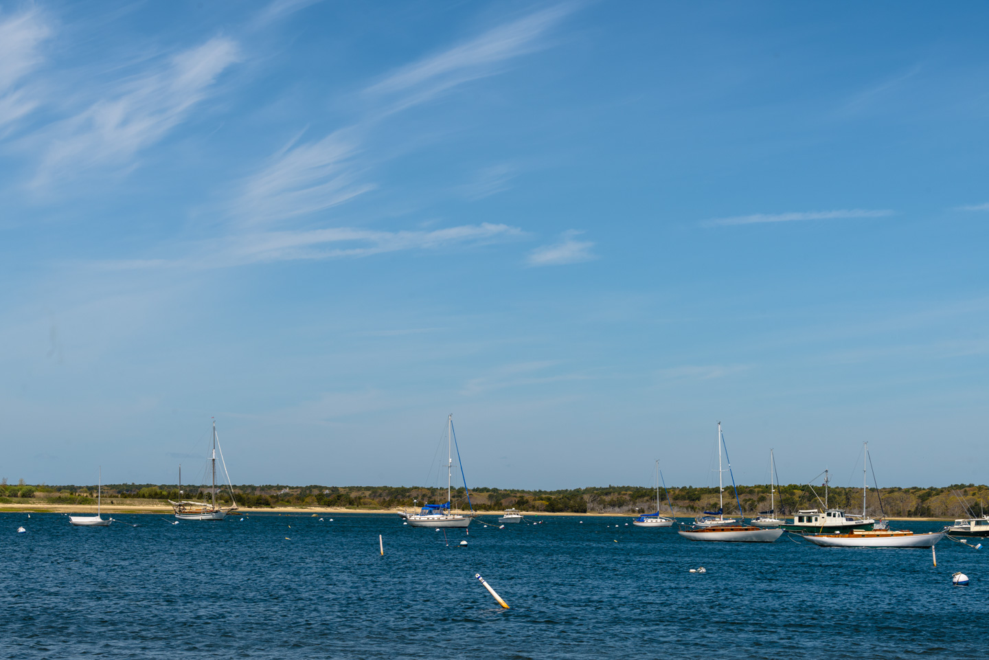
Lawrence Island is an island that you can walk to. There is only parking for a couple of cars, at the end of a small road. A harbor is nestled between the mainland and Lawrence Island. This is the view from where we parked the car:
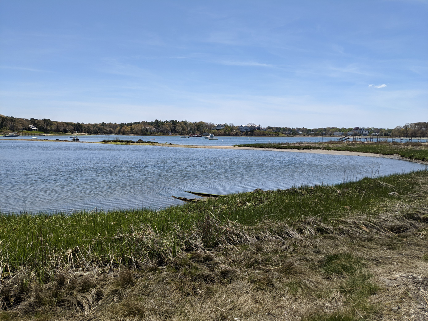
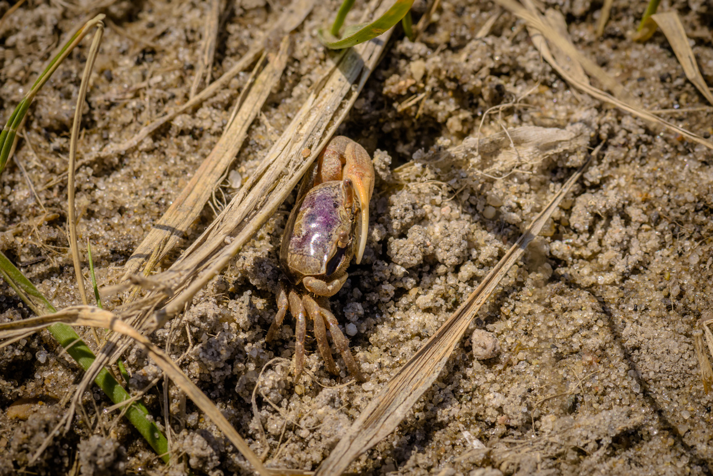
There is a bit of a walk along the shore to get to the actual island (less than a half mile). In the sand along the way we saw a few Sand Fiddler Crab. This picture is of one of them.
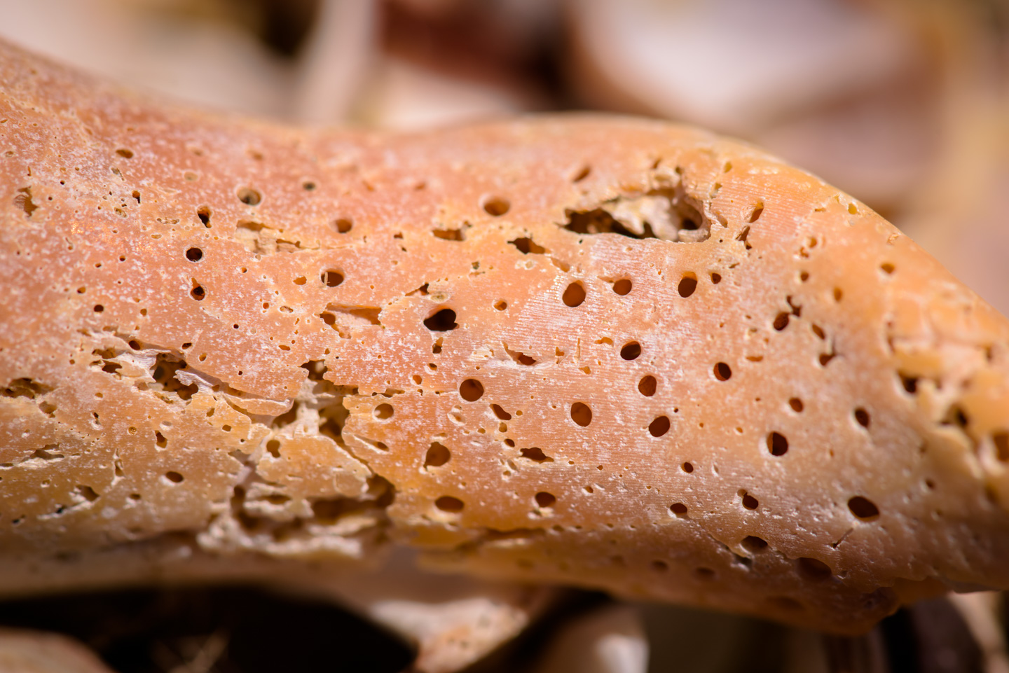
The sand bar that we cross to actually reach the island has many shells. This one reminds Anne of a seal. (Come on, you can see it, right?)
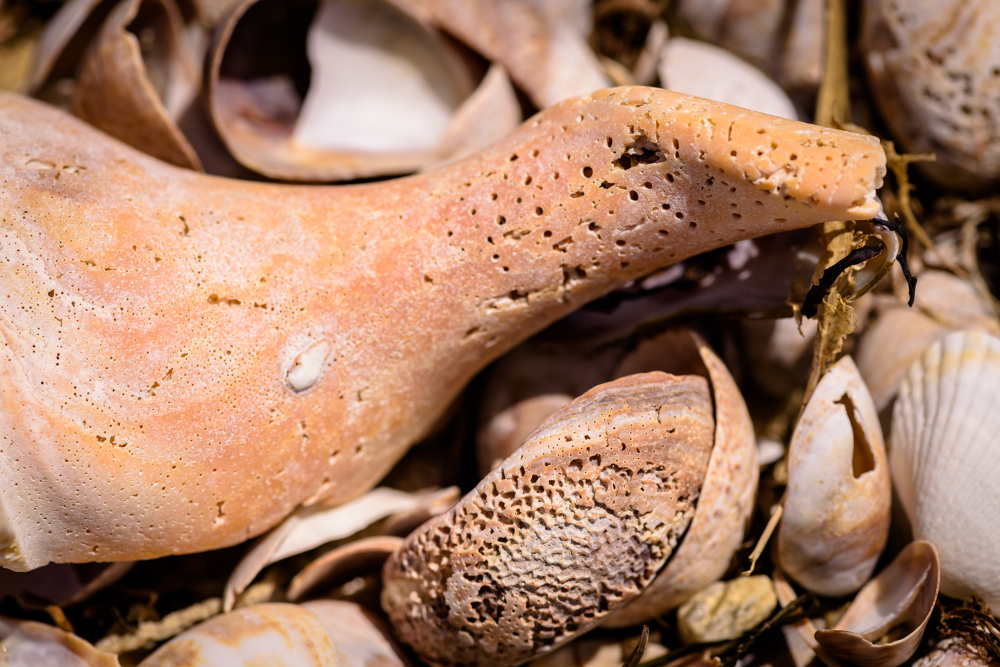
A look at the interesting weathered texture of the shell:
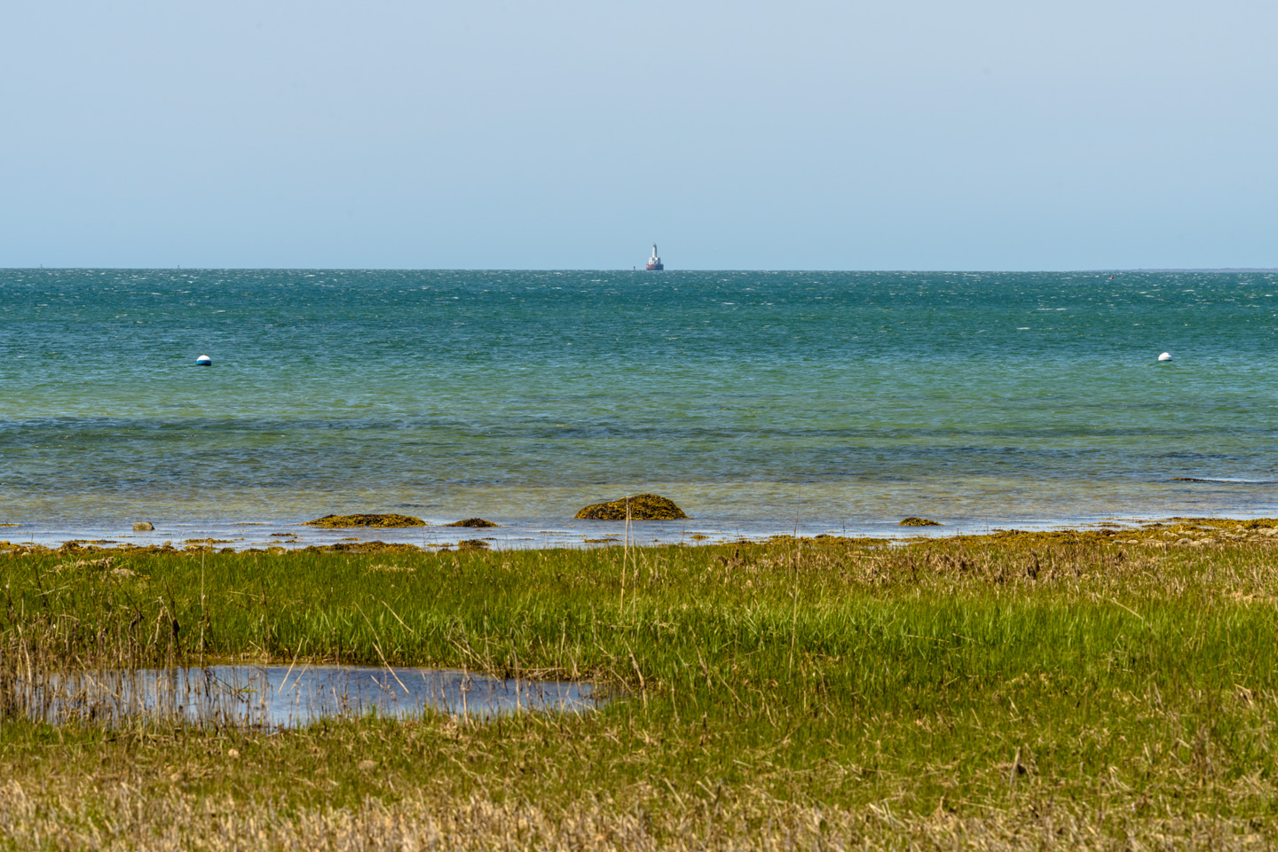
Way out in the distance (4 miles, in fact) you can see a tiny light house in this next photo. It is East Cleveland Ledge Lighthouse. (For some additional information on the lighthouse you can check out this link.)
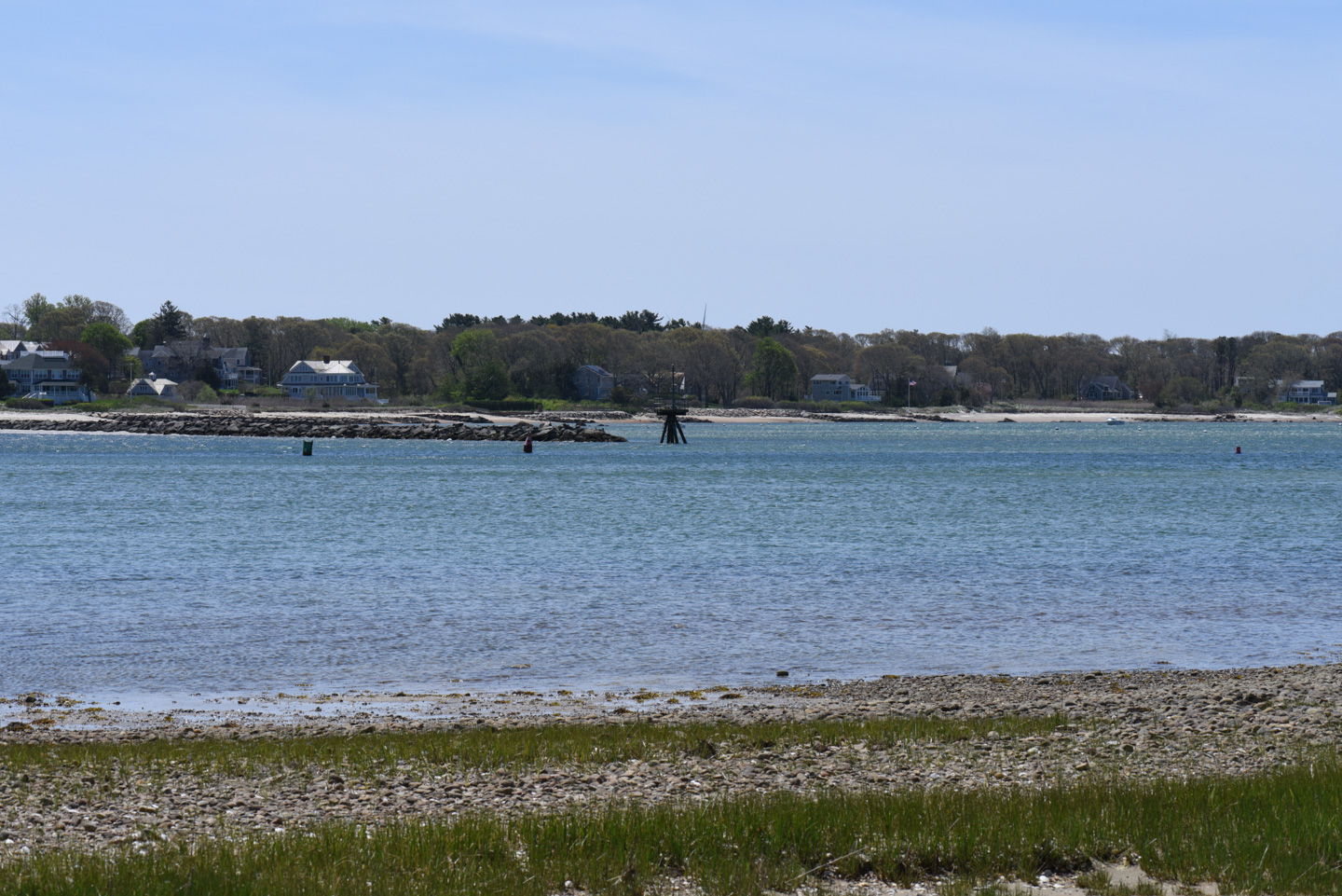
Just across the water from Lawrence Island is Megansett Beach in Falmouth. At the tip of the rock causeway is an interesting 'crow's nest' looking structure that is likely to keep boats away from the rocks.
Although Lawrence Island is a preserve, in the center, hidden within the trees, someone has put up a huge trampoline. We did not try it, nor did we take any pictures of it. We did take pictures of the pretty (but invasive) rosa multiflora flowers.
Northeast of the preserve, between Lawrence Island and the mainland, is Amrita Island. Looking back that direction reveals a rather large house, including an underground storage area (presumably for kayaks and such). You probably can't read the writing, but immediately above the door is written "Love Is Eternal". To the right of the house is a tall pole, and on the top of the pole is an Osprey nest.
Back to the Preserves main page
Updated April 2026