New Bedford Preserve
Across the Acushnet river from New Bedford is scenic Fairhaven, and shares the same harbor as its more urban neighbor.
We have only visited one park in New Bedford:
Fort Taber Park
There is no PDF Trail Map for this park but there is a virtual tour.
Fort Taber and Fort Rodman are basically two names for the same evolving fort. The Fort Taber and Fort Rodman Historical Association give a good history of the site on their website. There were also information signs in the park. We will include a few points here along with our photographs.
Fort Taber had its first form, as an earthworks fort, completed in 1861. In 1863, the adjascent granite fort was partially in place - tall enough to block any southern view for the guns that had previously been in the earthworks fort. In this photograph you can see the earthworks in the foreground and behind that the stone fort.
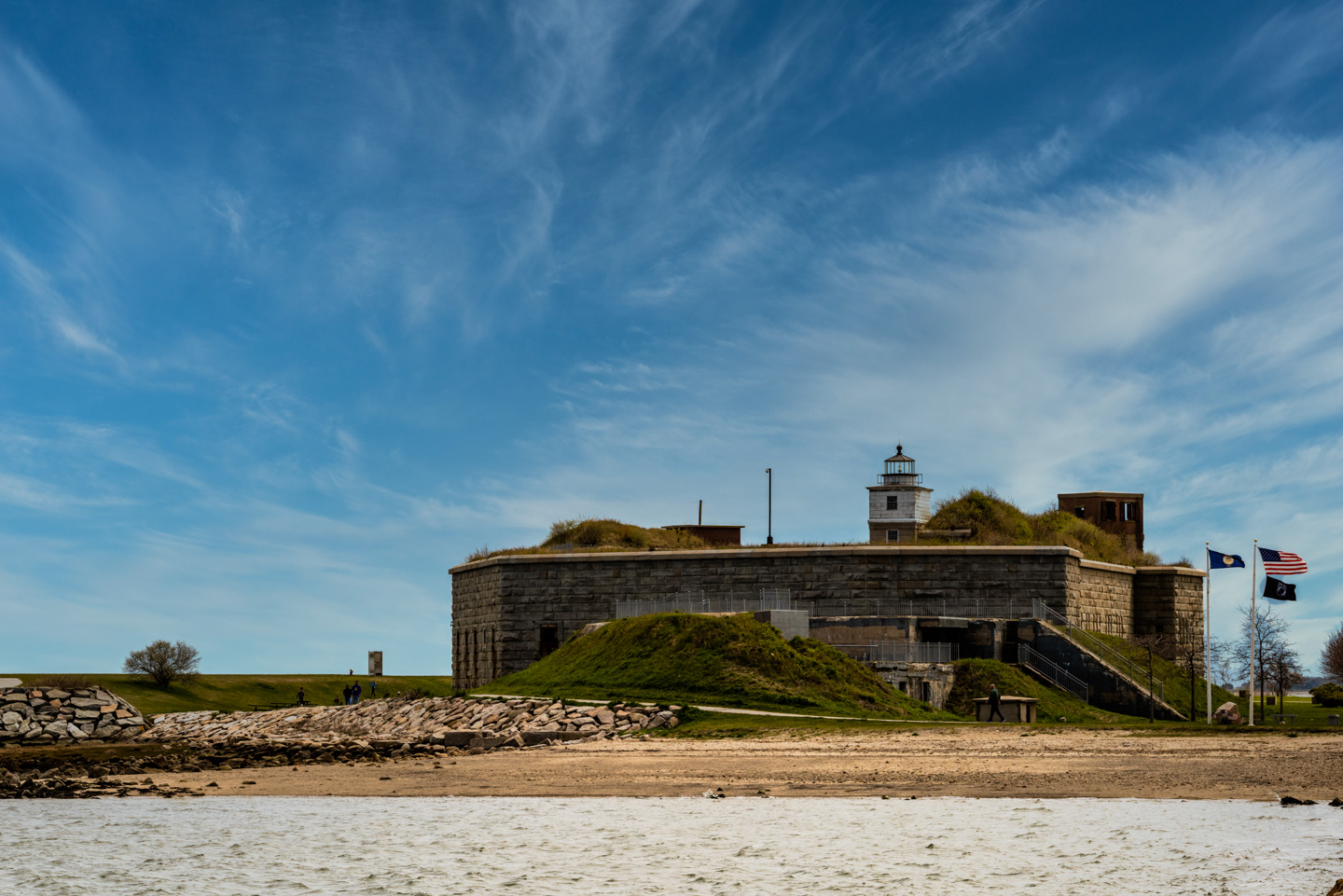
The stone fort was eventually (1898) named Fort Rodman. After the Civil War was over, construction slowed until stopping in 1871.
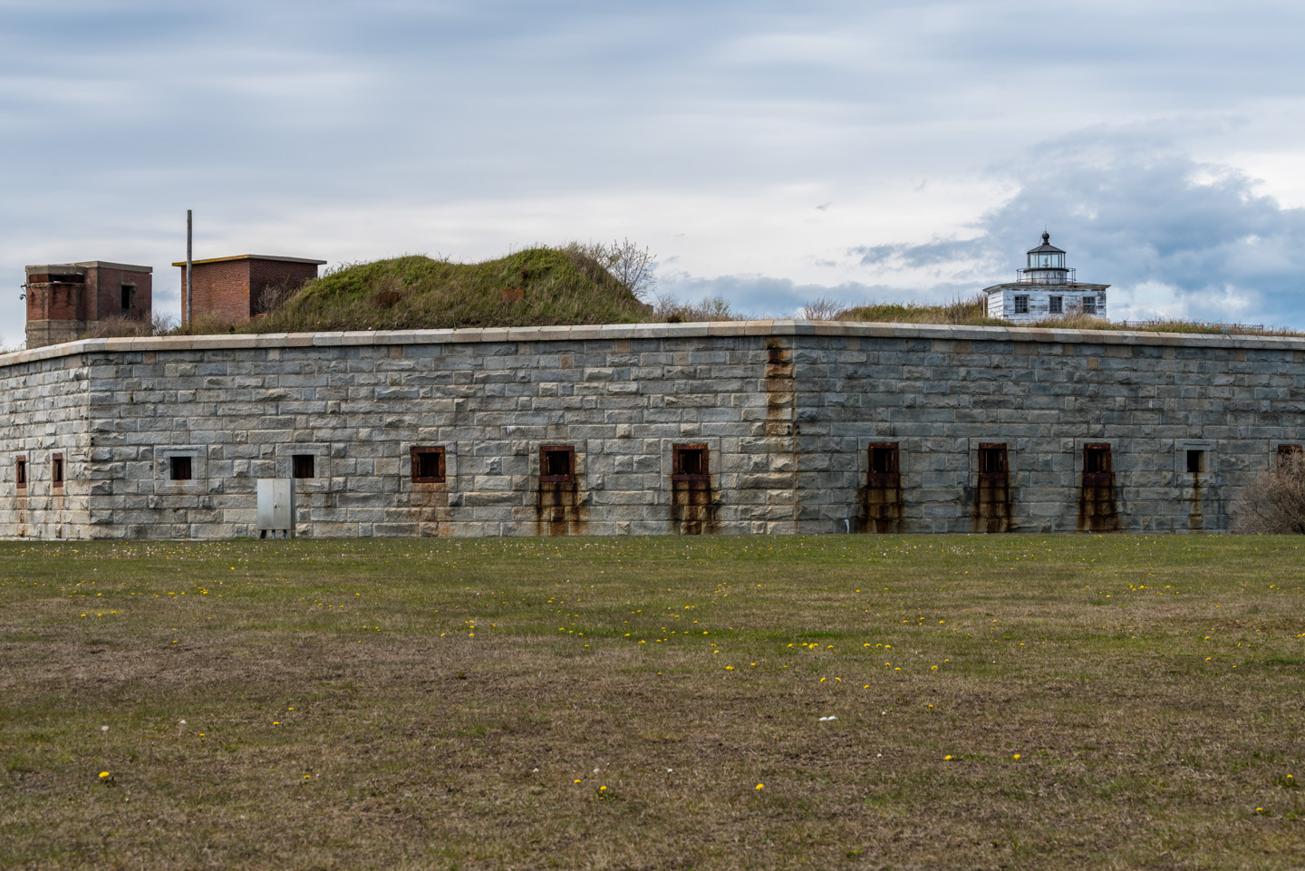
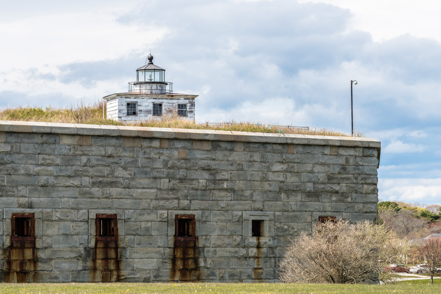
If you think that building on top of the fort looks like a lighthouse, you are correct. It is Clarks Point Light. From Wikipedia:
The Clarks Point Light stands on the parapet of the fort. Originally established as a freestanding tower, it was moved to the fort in 1869 because the fort's walls obscured the beacon from some angles. it was deactivated in 1898, but was relit in 2001 by the city as a private aid to navigation.
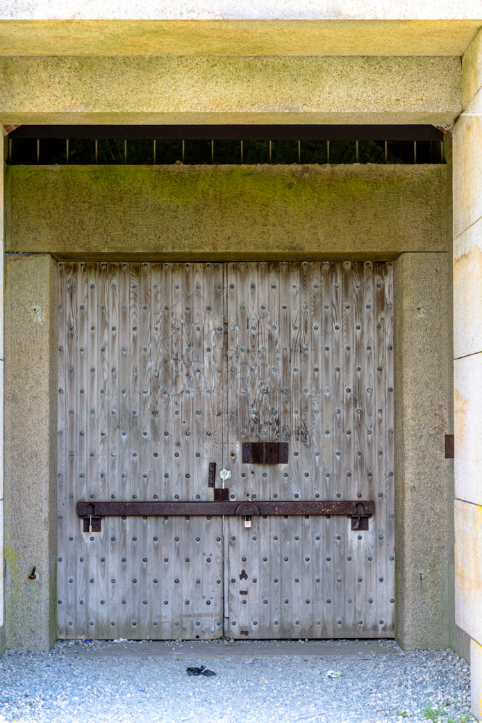
Although the fort is currently closed, we could sneak a look in through a small hole in the doors.
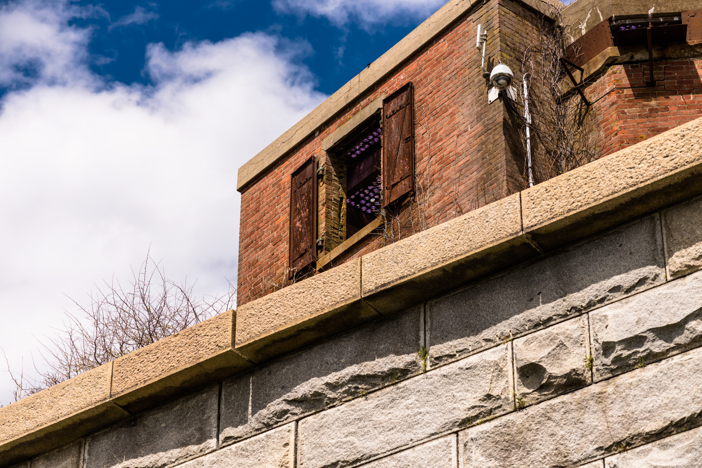
We don't know what the function of this edifice on the fort parapet was, but it seems to now have some tinted glass in the ceiling.
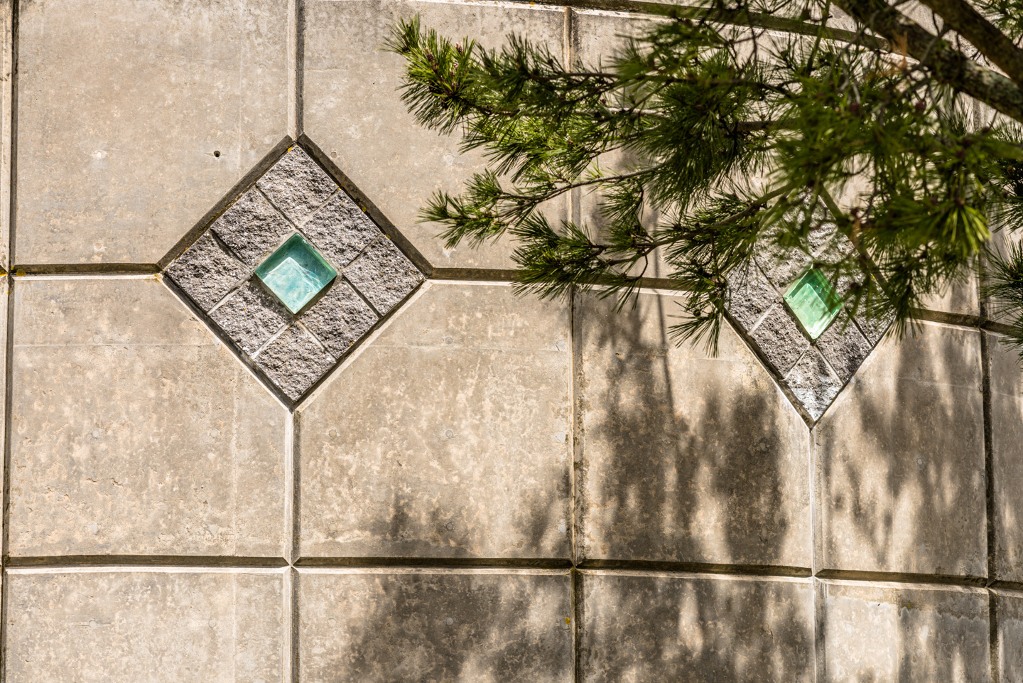
A small building adjacent to the fort, of unknown function, has some pretty ornamentation on the outside.
A very interesting tidbit of information was on one of the signs there.
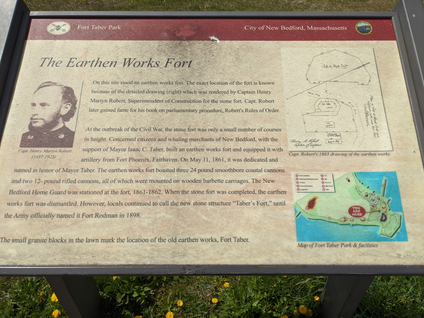
As the Fort Taber Historical society phrased it:
During the Civil War years Captain Henry Martyn Robert was placed in charge of the construction of the fort. It was around this time, after attending a chaotic church meeting, that he began writing the Robert`s Rules of Parliamentary Procedure. First published in 1876, it remains the standard guide to parliamentary procedure to this day.
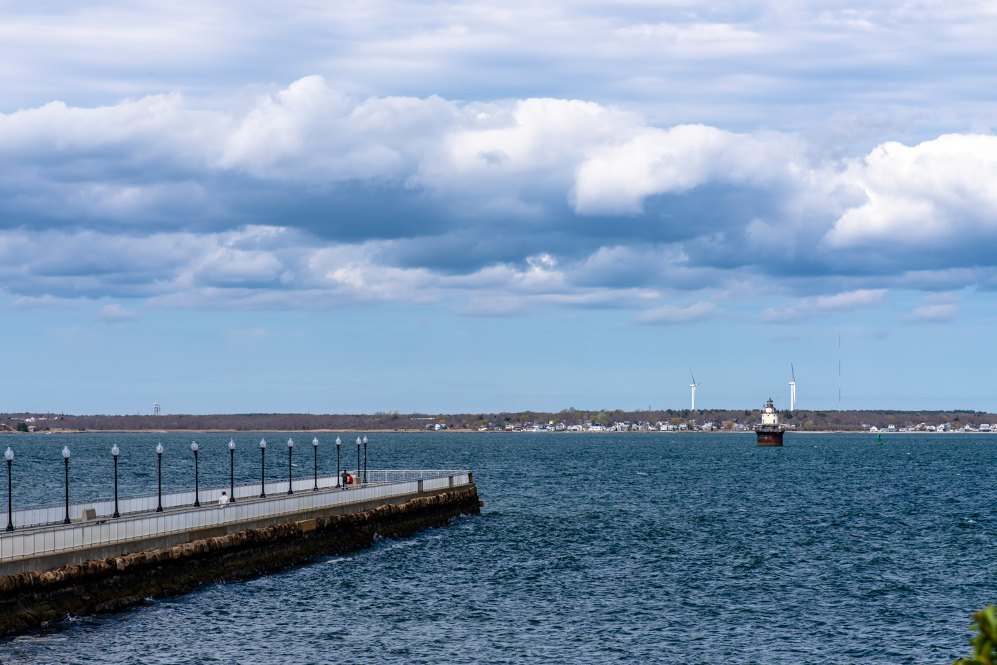
The eastern side of the park is the mouth of the Acushnet River.
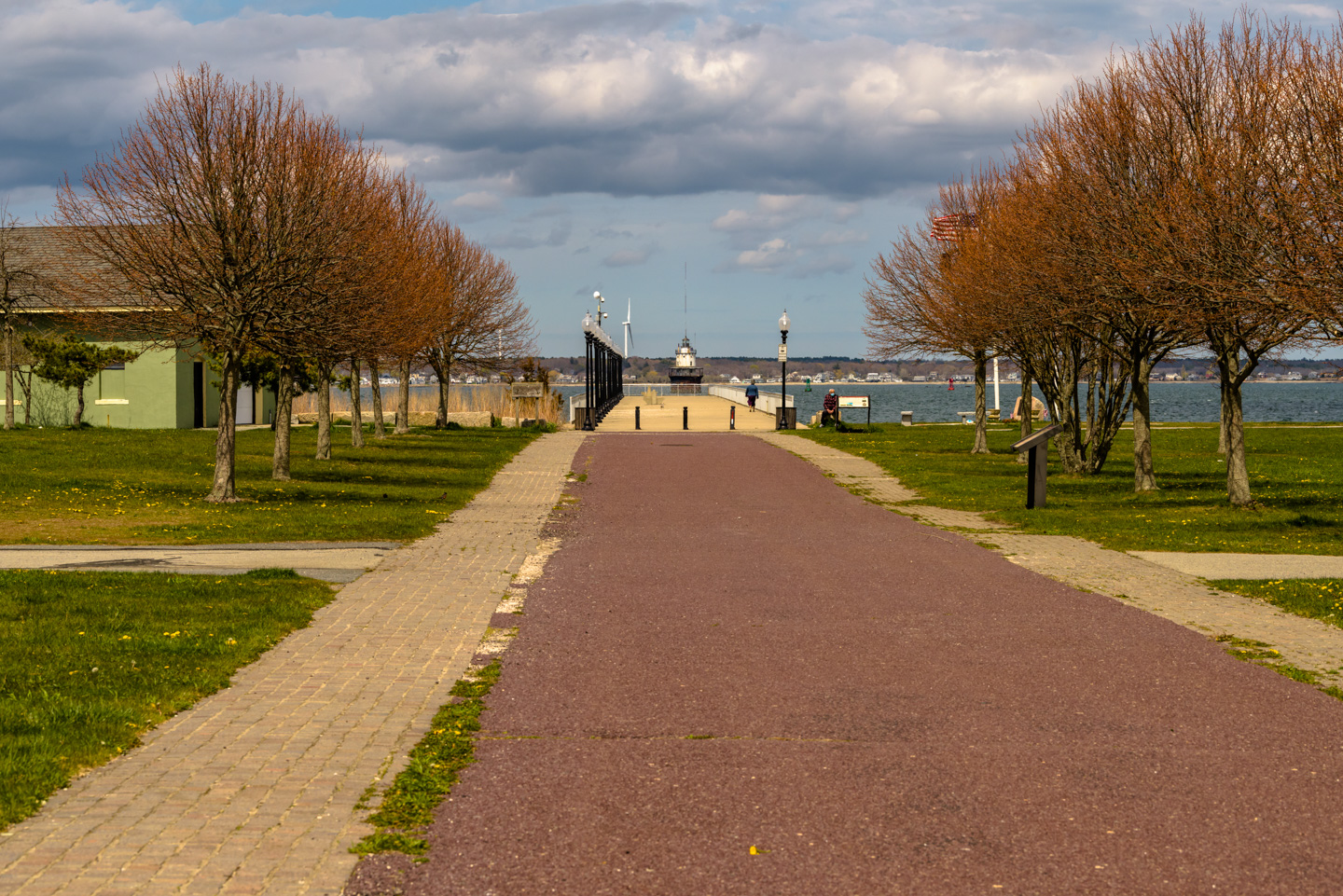
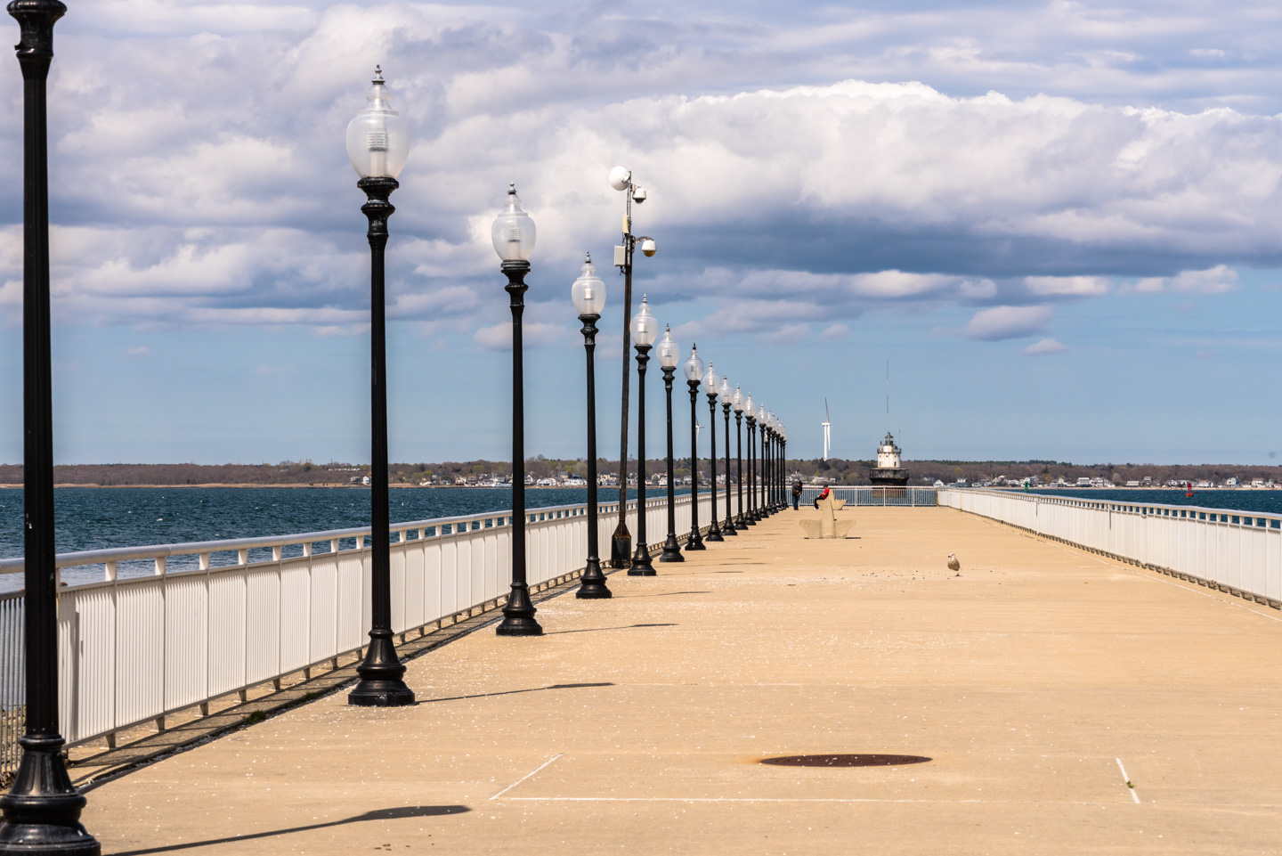
The lighthouse seen at the end of the pier is Butler Flats Lighthouse. This lighthouse is also no longer active, since a breakwater put up to the north has a light of its own.
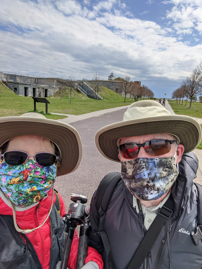
When we visited the park in 2020, it was a chilly early May day during the corona virus pandemic.
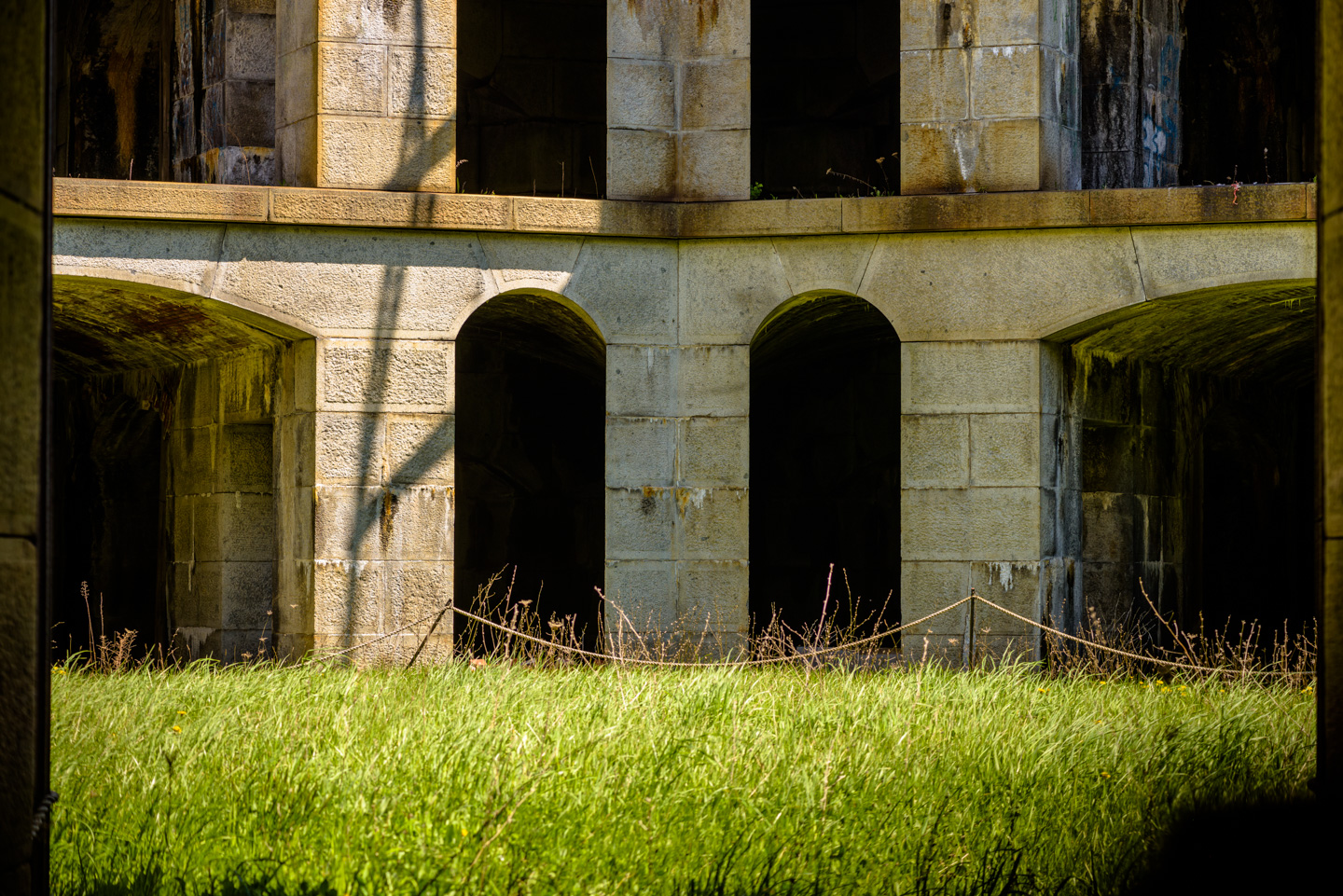
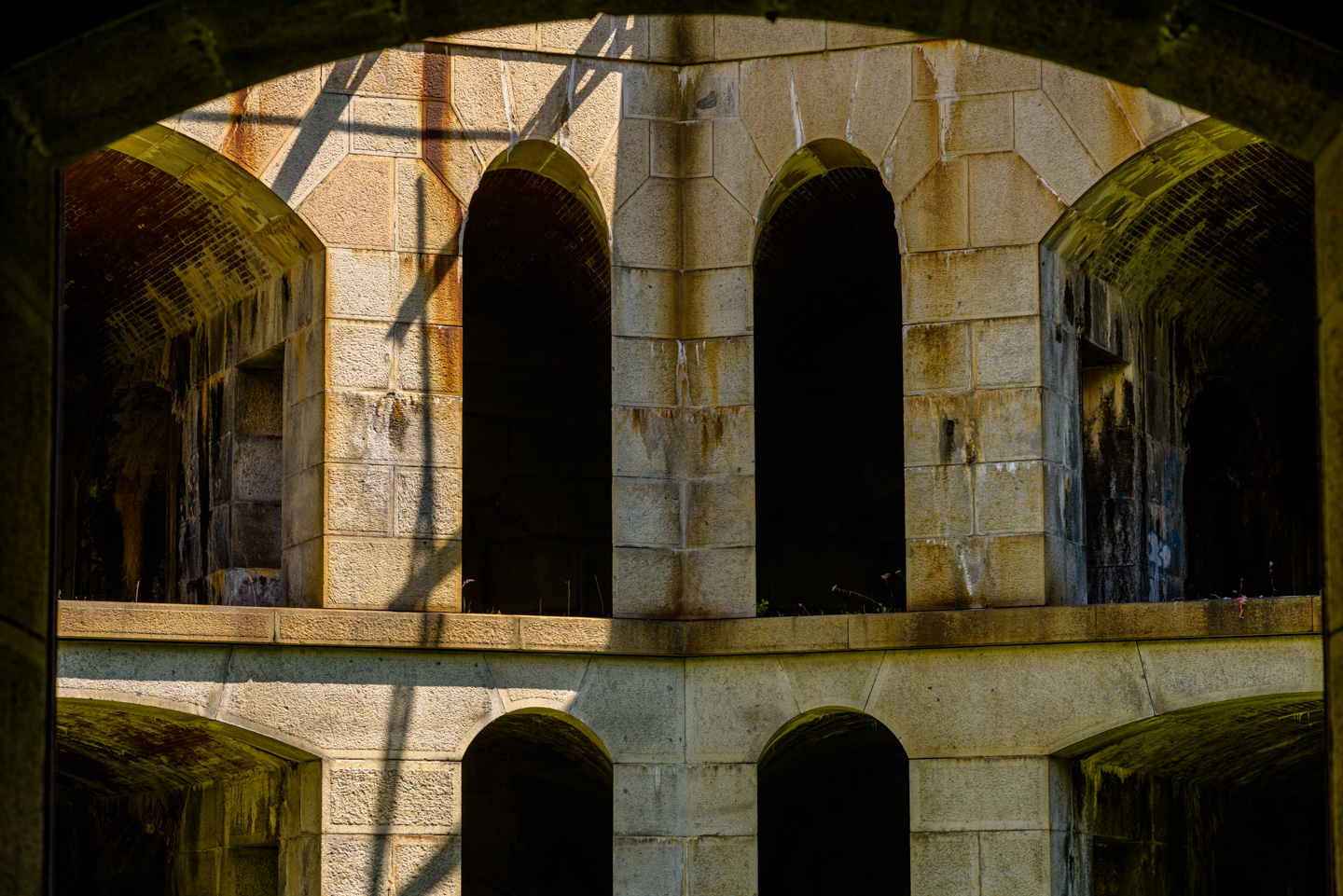
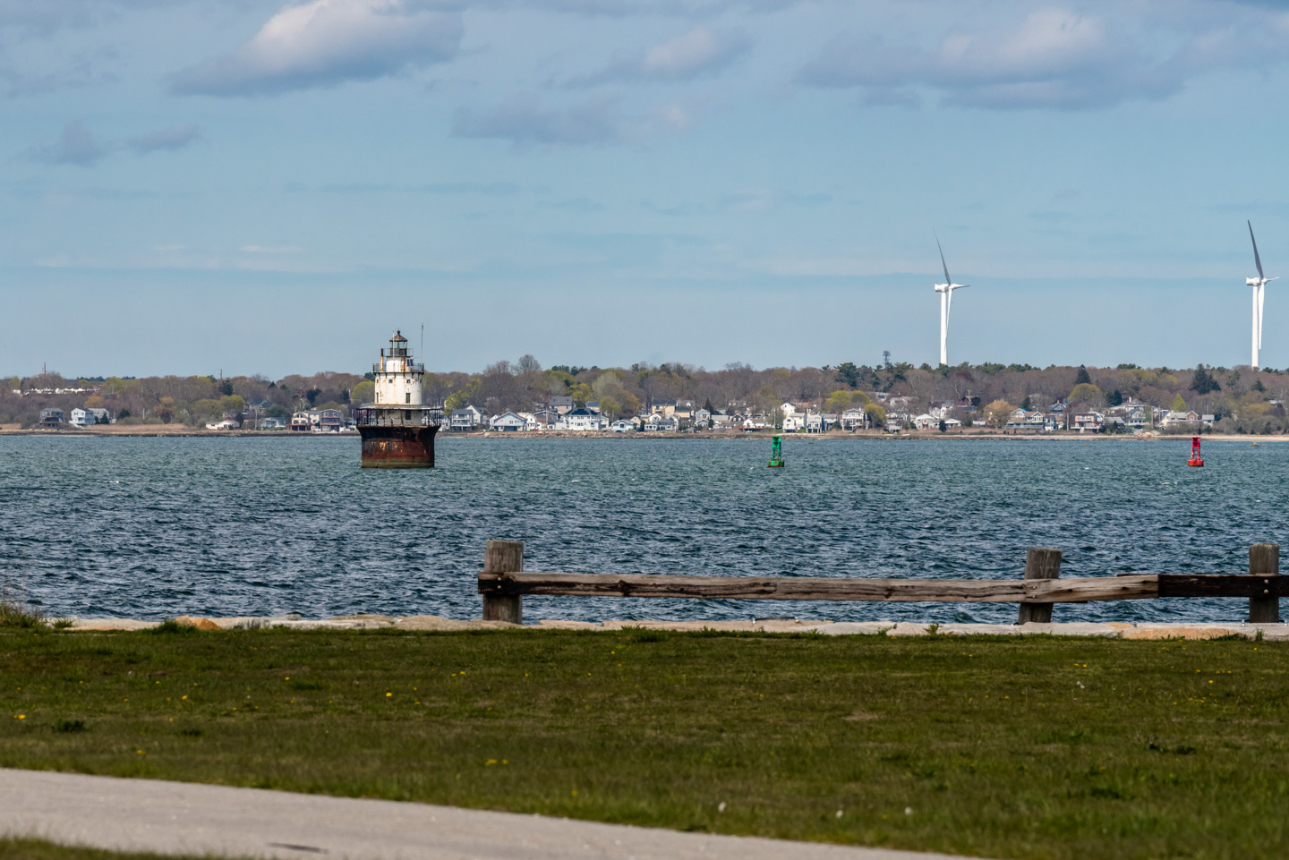
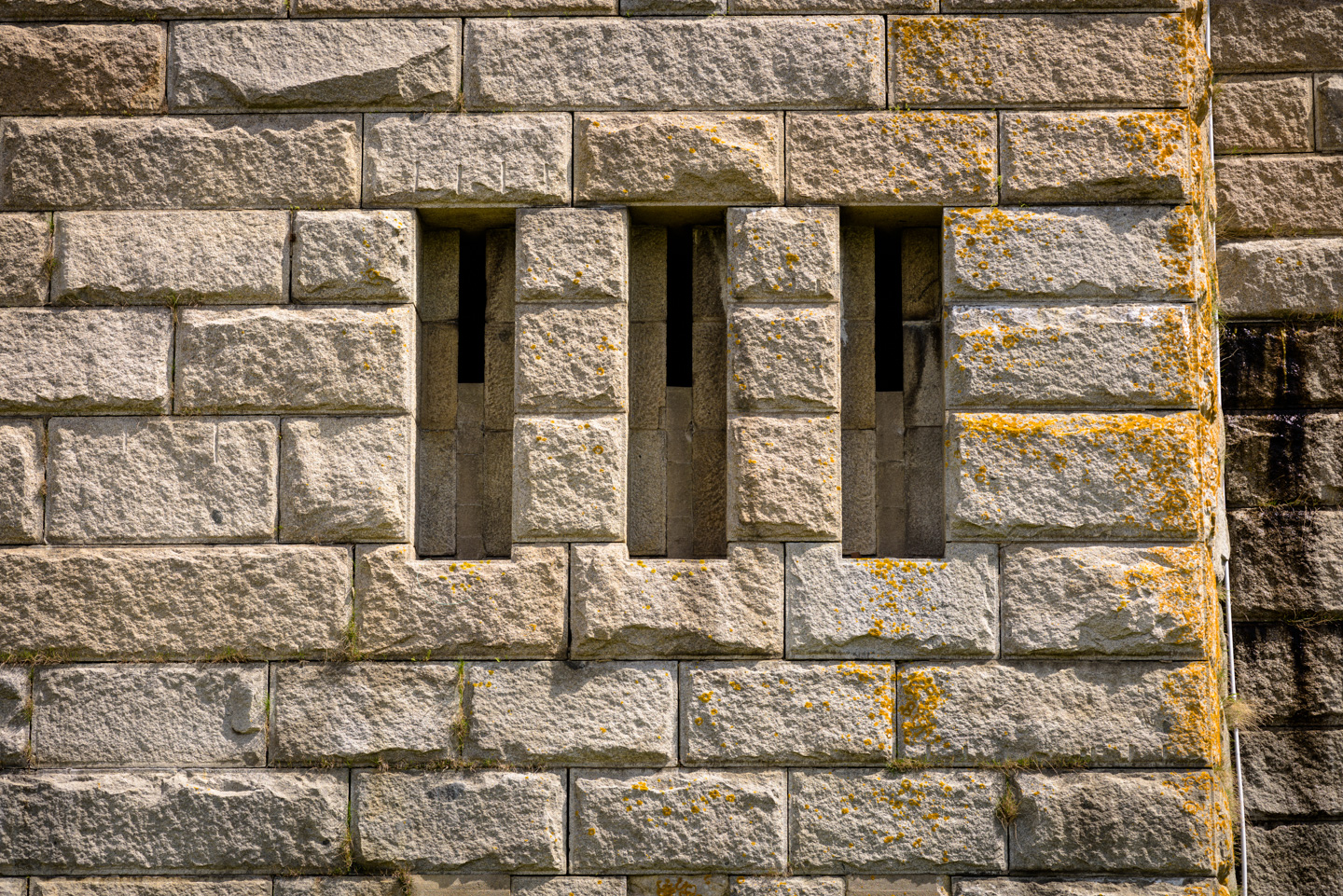
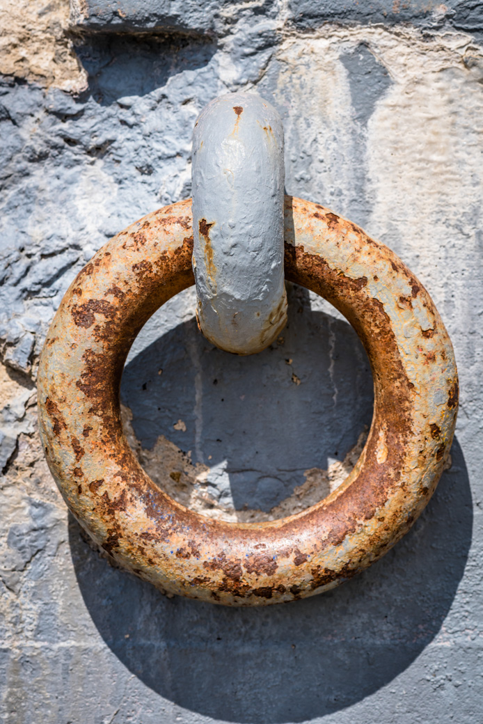
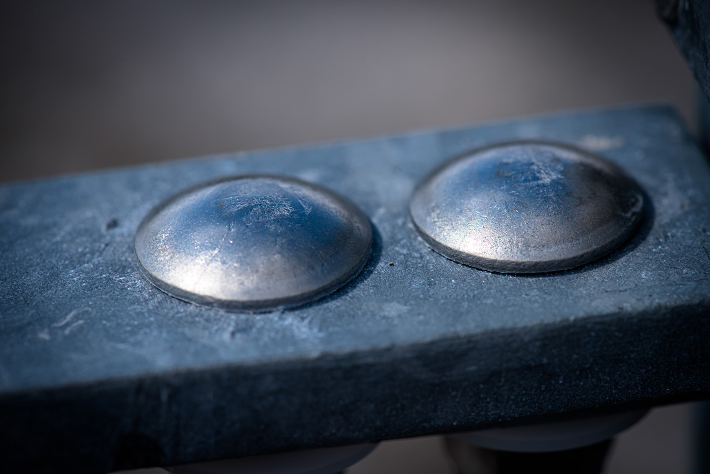
A few additional pictures that are a bit more abstract:
Back to the Preserves main page
Updated April 2026