Sagamore Preserves
Sagamore
Reserves we have visited in Sagamore:
Sagamore Hill
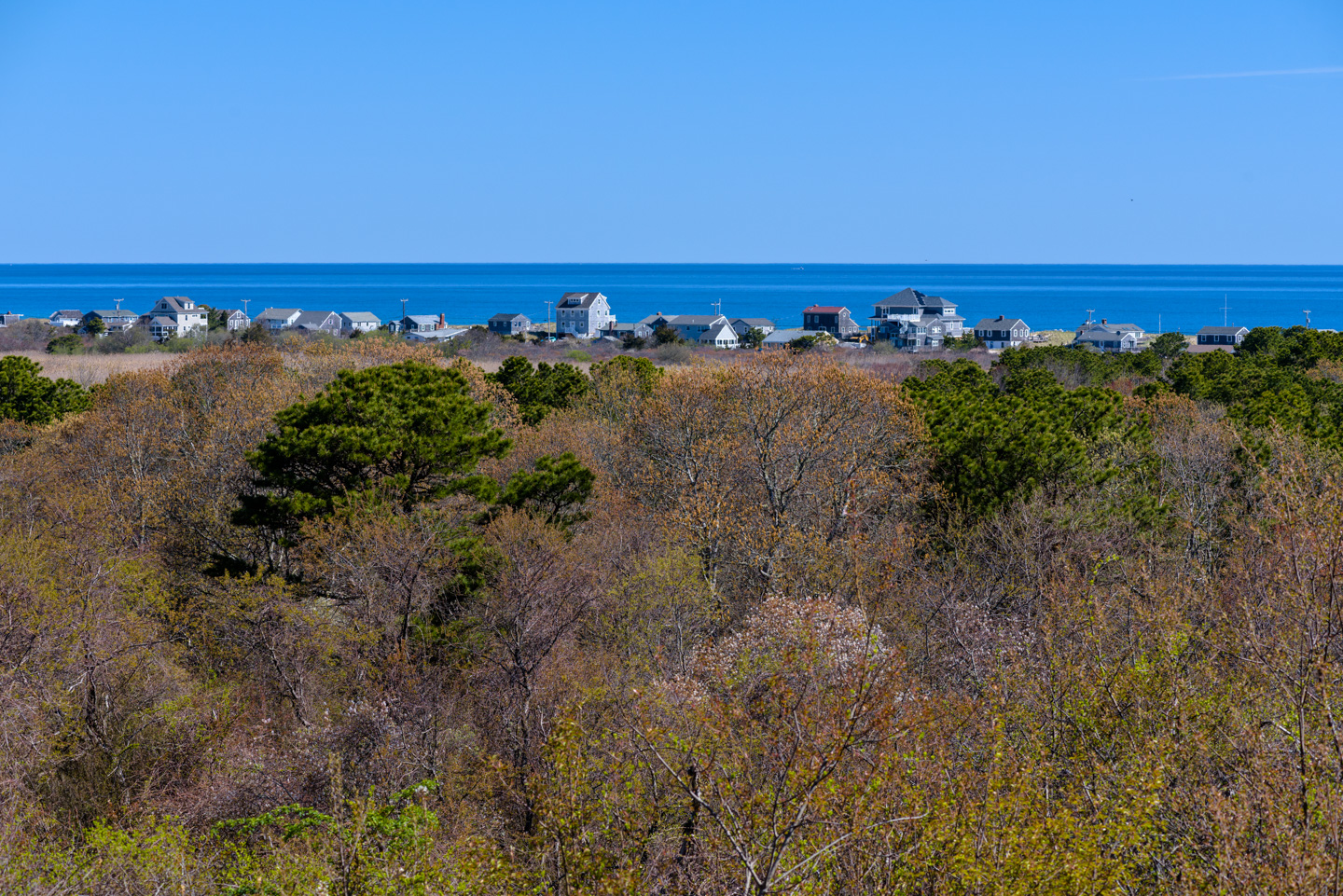
Sagamore Hill is technically part of Scusset Beach State Park, but the park is more known for its beach. For those inclined for a bit of a walk, Sagamore Hill can give a nice break from the sand and water. The trails go for up to 2 miles and create a loop to Sagamore Hill, down to a marsh, and back around through woods. The hill was the site of a World War II coastal defense site, built to protect the Cape Cod Canal. The canal was considered vital because it allowed ships to stay close to the mainland instead of having to go into less protected water east of Cape Cod. Today the hill provides a nice view of Cape Cod Bay.
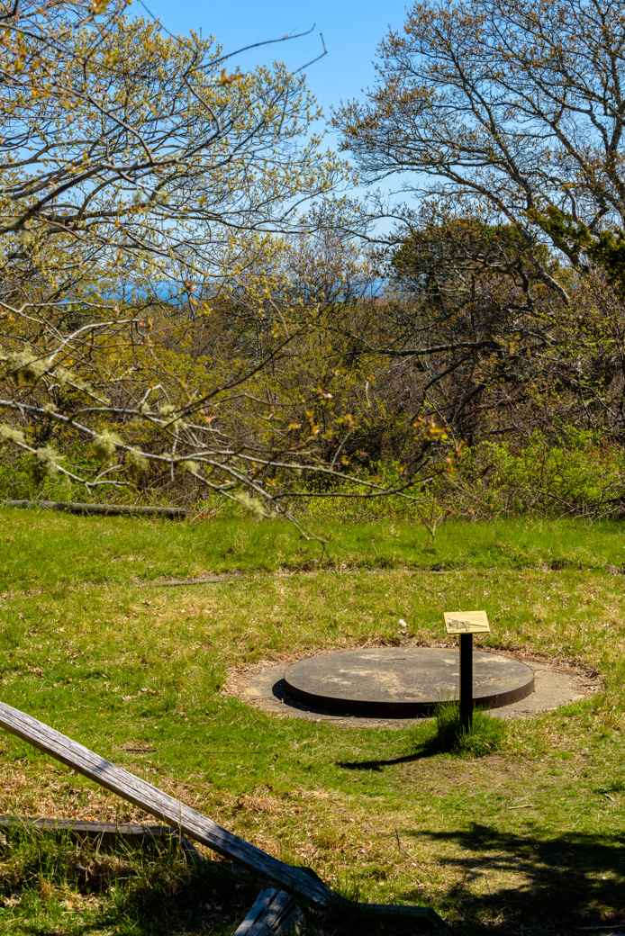
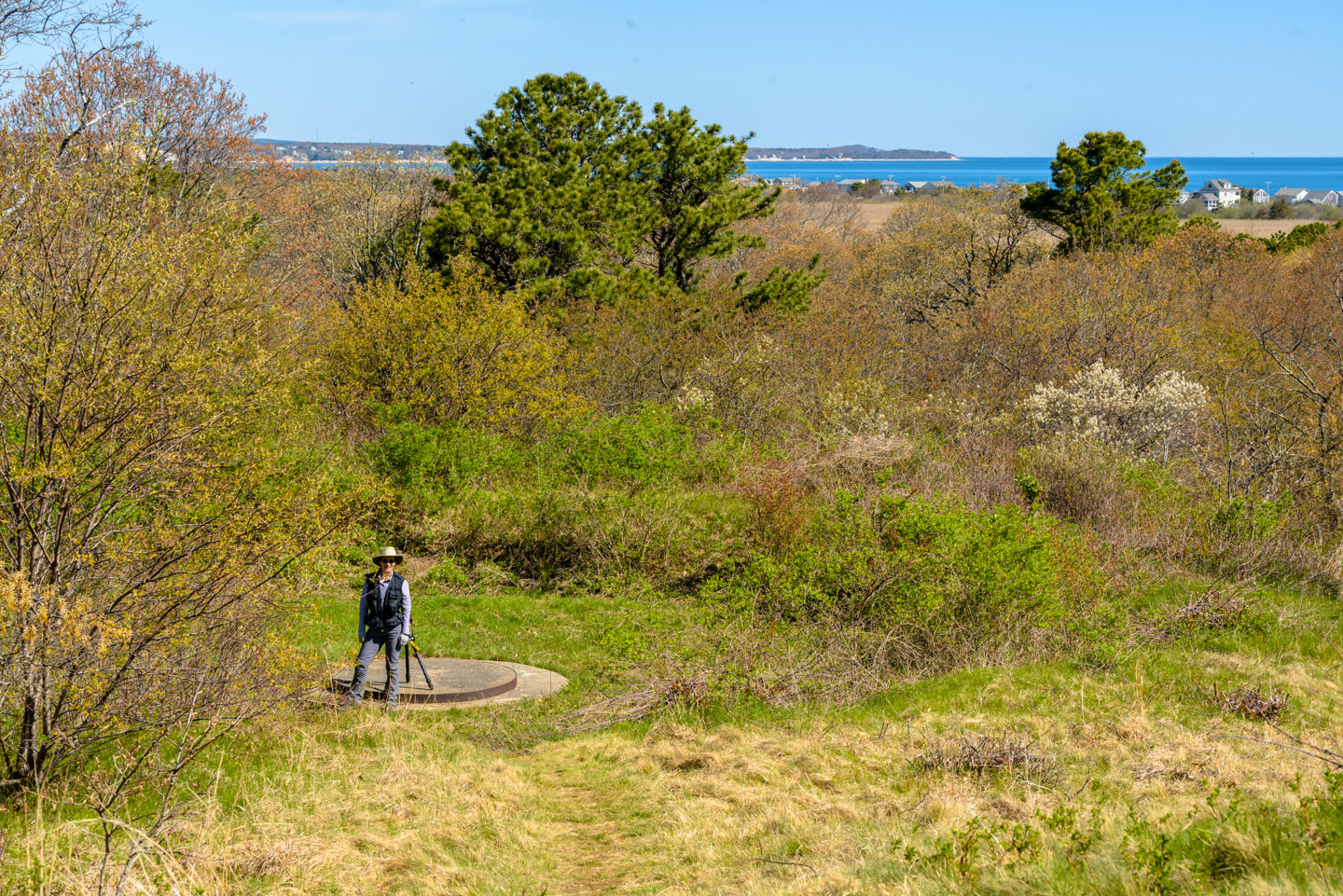
When it was a military site, the big guns sat on 'Panama Mounts', which allowed the guns to be turned any direction. The guns used here were 155 MM and had a range of 20 miles.
We saw two trucks in the area that were "Cape Cod Mosquito Control"; most likely they were hired to limit EEE (eastern equine encephalitis). We saw a cute Long-Tail Weasel on our way out. The weasel was very curious about us. Adorable but unfortunately we did not get a picture of it. The parking lot was filling up by the time we left, so it was time to leave (we were visiting during the COVID pandemic so it was important to limit contact) although more people were going fishing than hiking.
Scusset Beach State Reservation
There is no trail map for Scusset Beach.
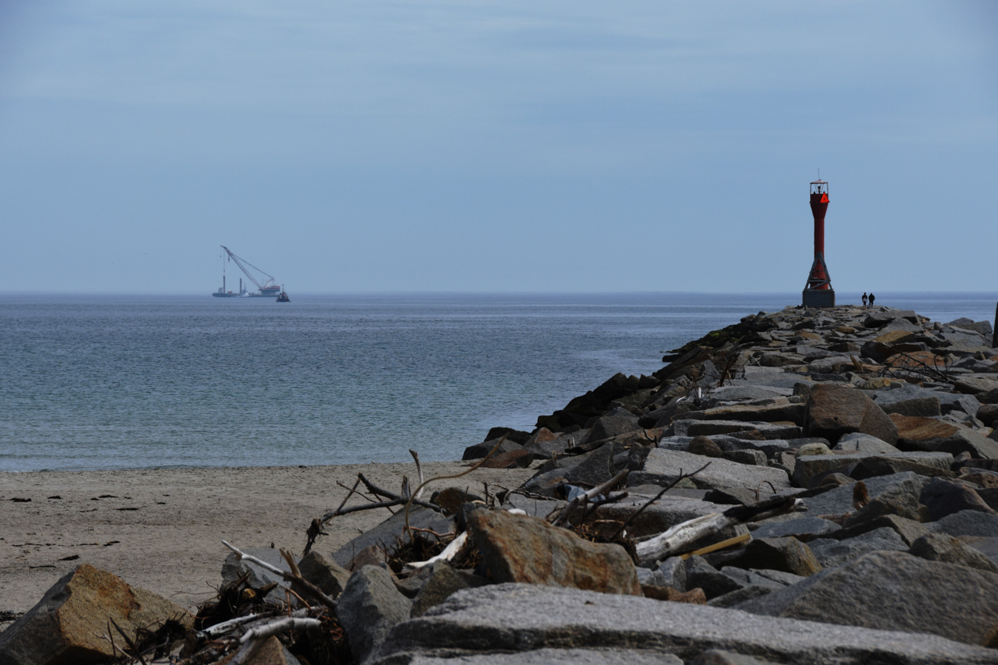
Scusset Beach State Reservation is on the east end of the Cape Cod Canal and has a long beach that stretches northwest from the canal. This breakwater defines the entrance of the canal.
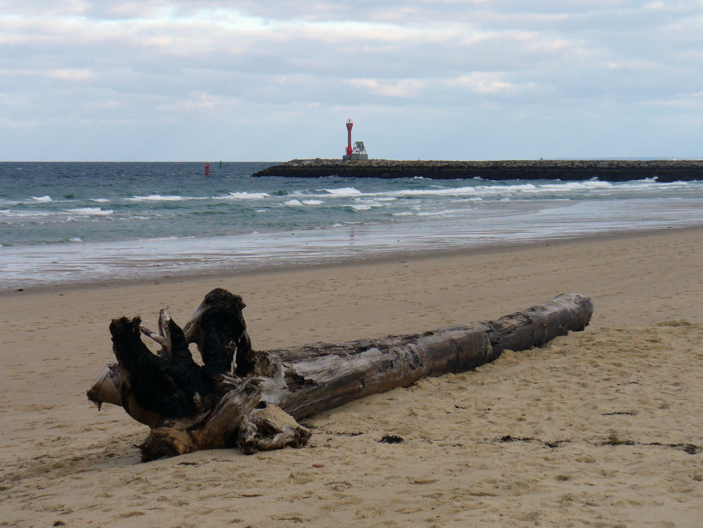
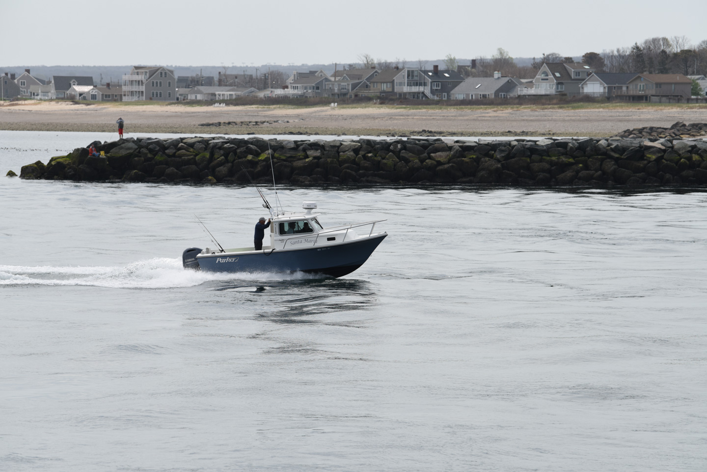
Another view across the beach to the breakwater; we took this picture in 2006.
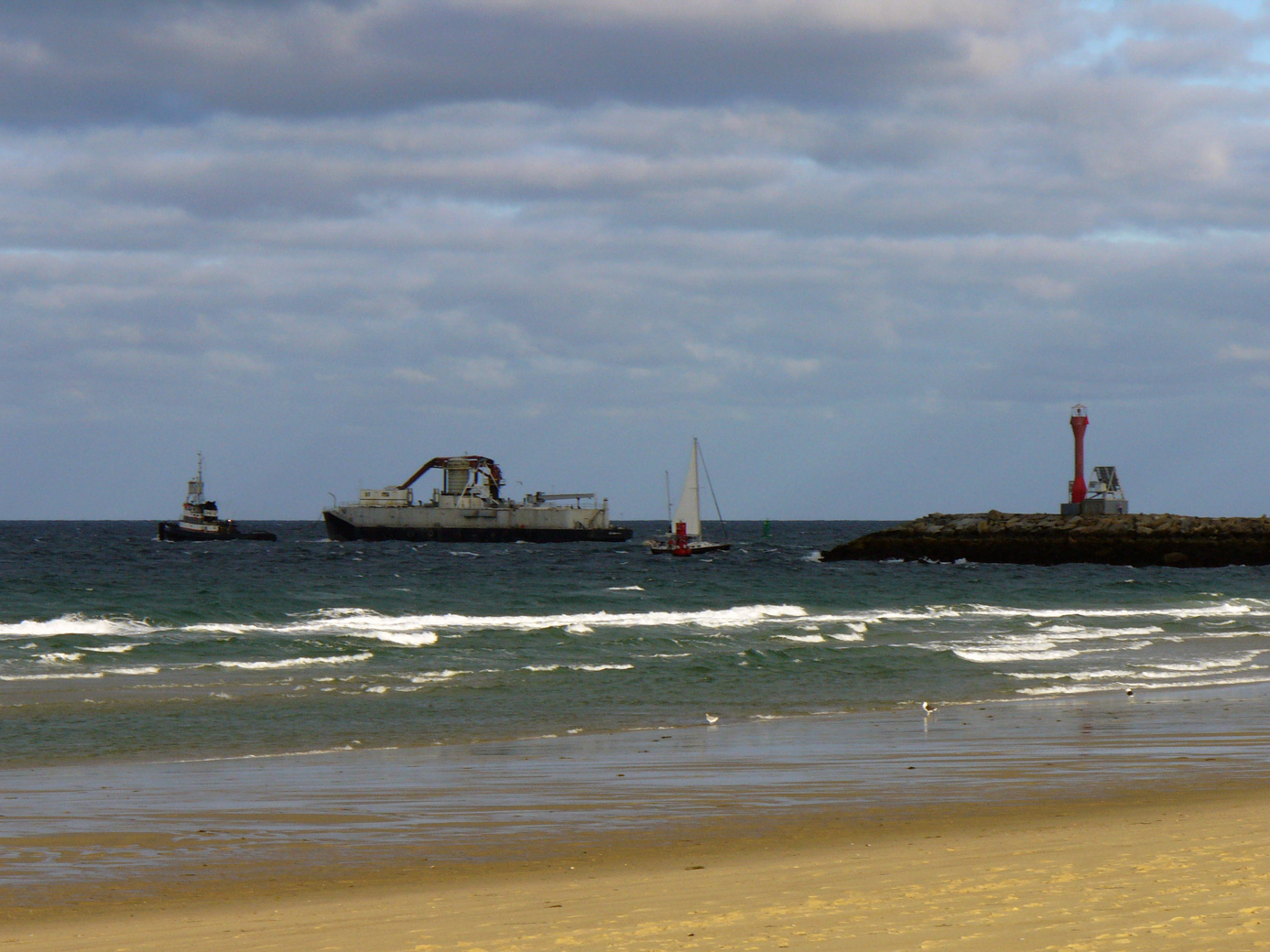
No, that is not a structure that is built on the top of the breakwater. What you see in that previous photo is a tugboat pulling a barge. This next picture shows them after they exited the canal (along with a sailboat).
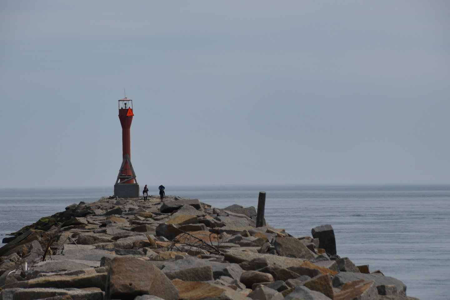
A look down the breakwater (this time taken in 2018):
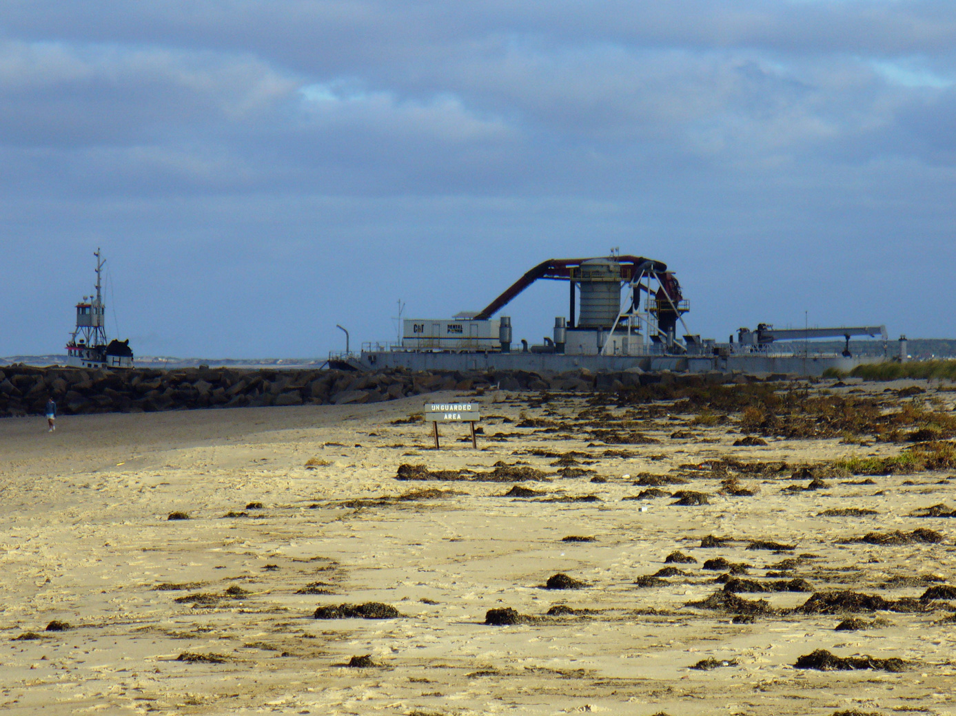
This large construction boat was likely using the canal that day:
The canal is used for recreation vehicles as well as commercial vehicles.
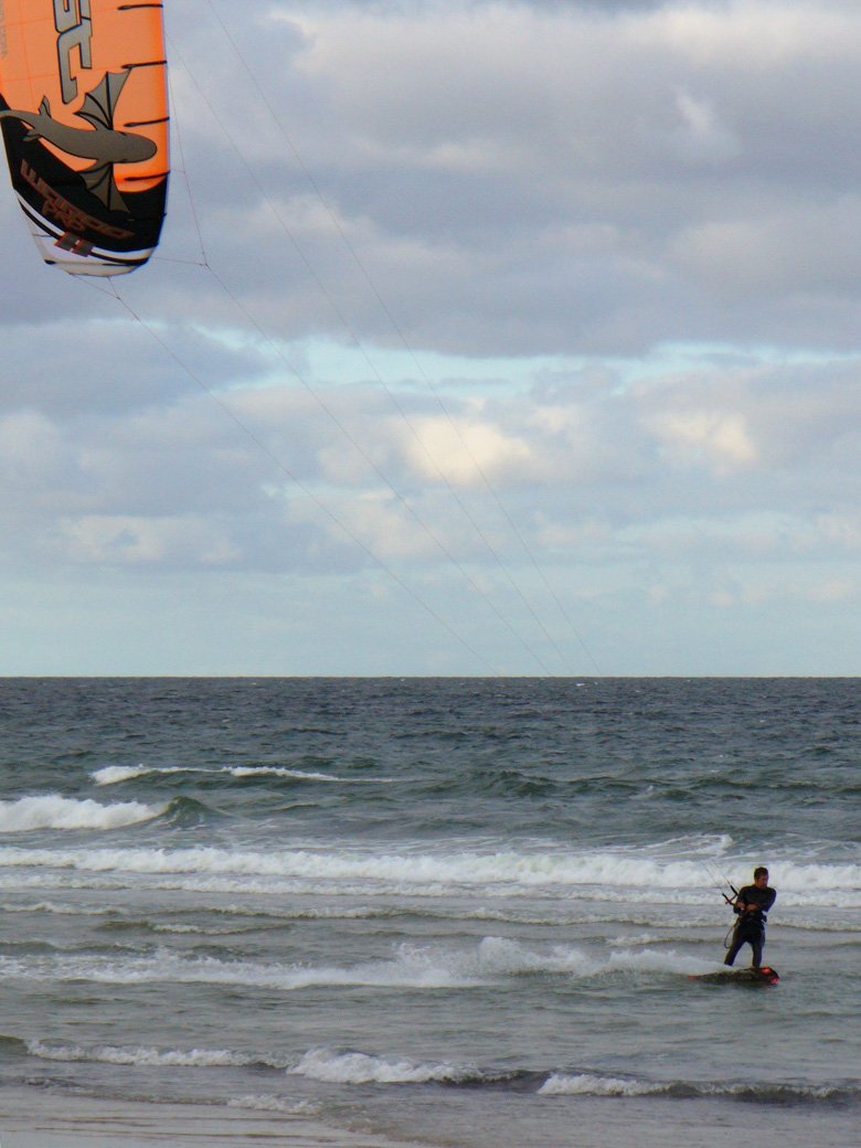
Speaking of recreation, during that 2006 visit we saw someone windsurfing.
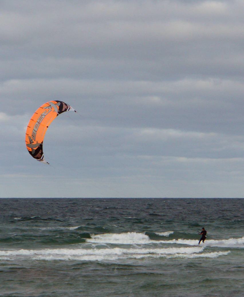
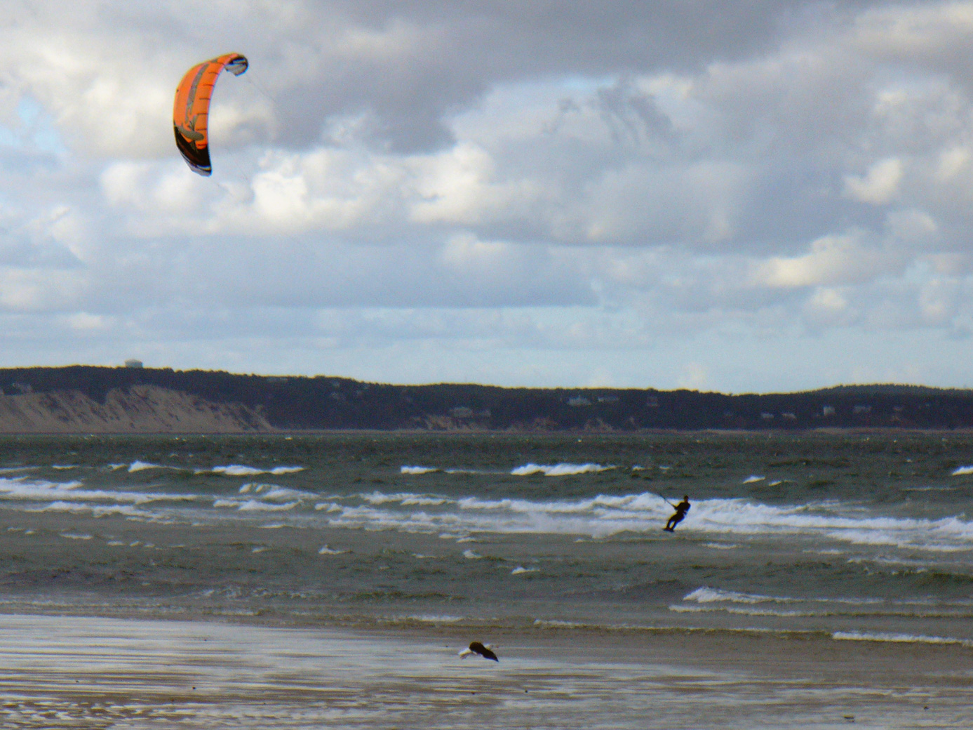
Although you can't see the windsurfer particularly well in this next picture, what you can see are the White Cliffs of Plymouth. Those are huge sand cliffs that are just barely kept stable by the vegetation on their tops.
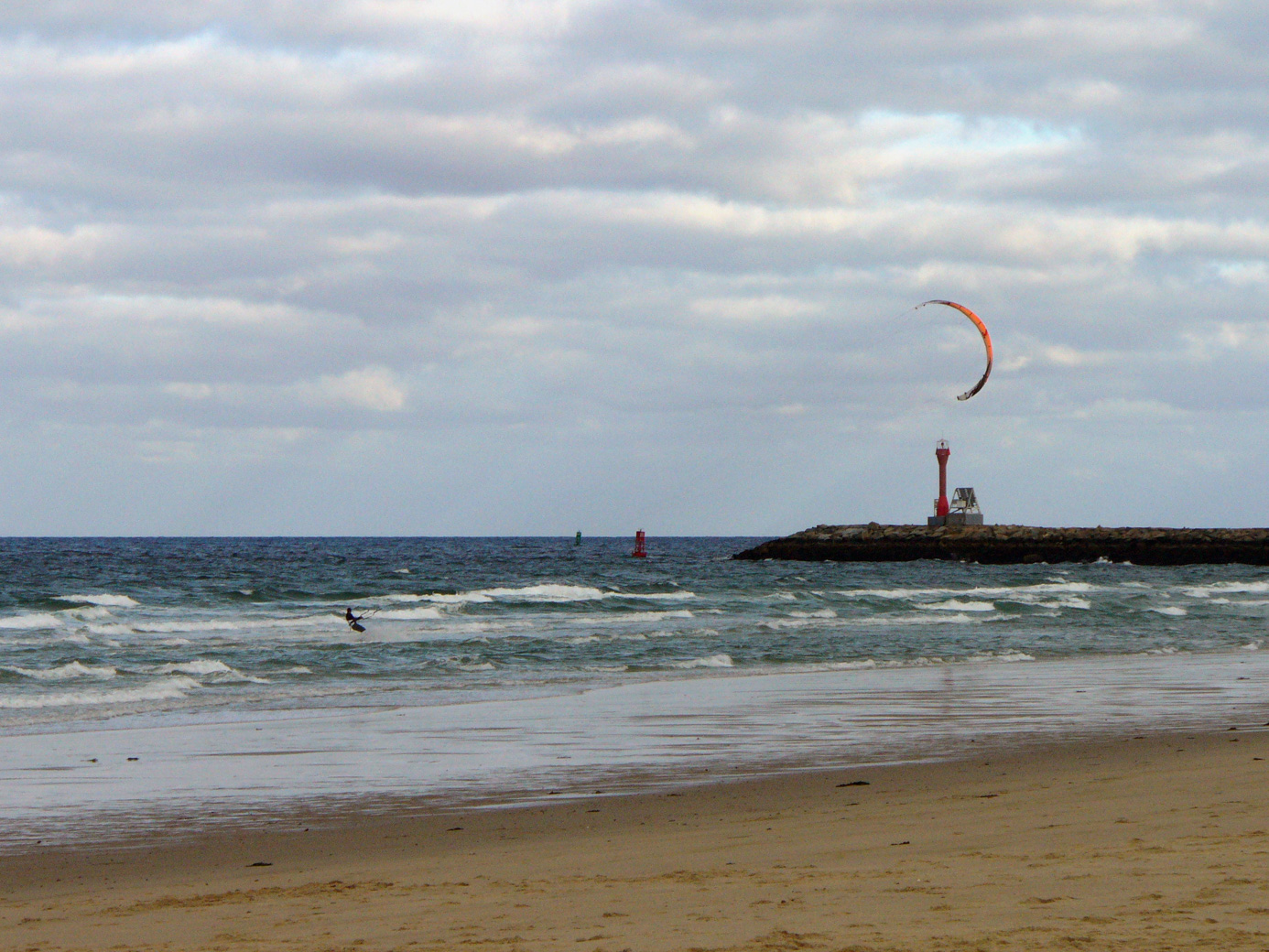
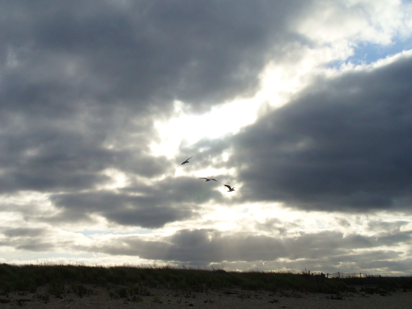
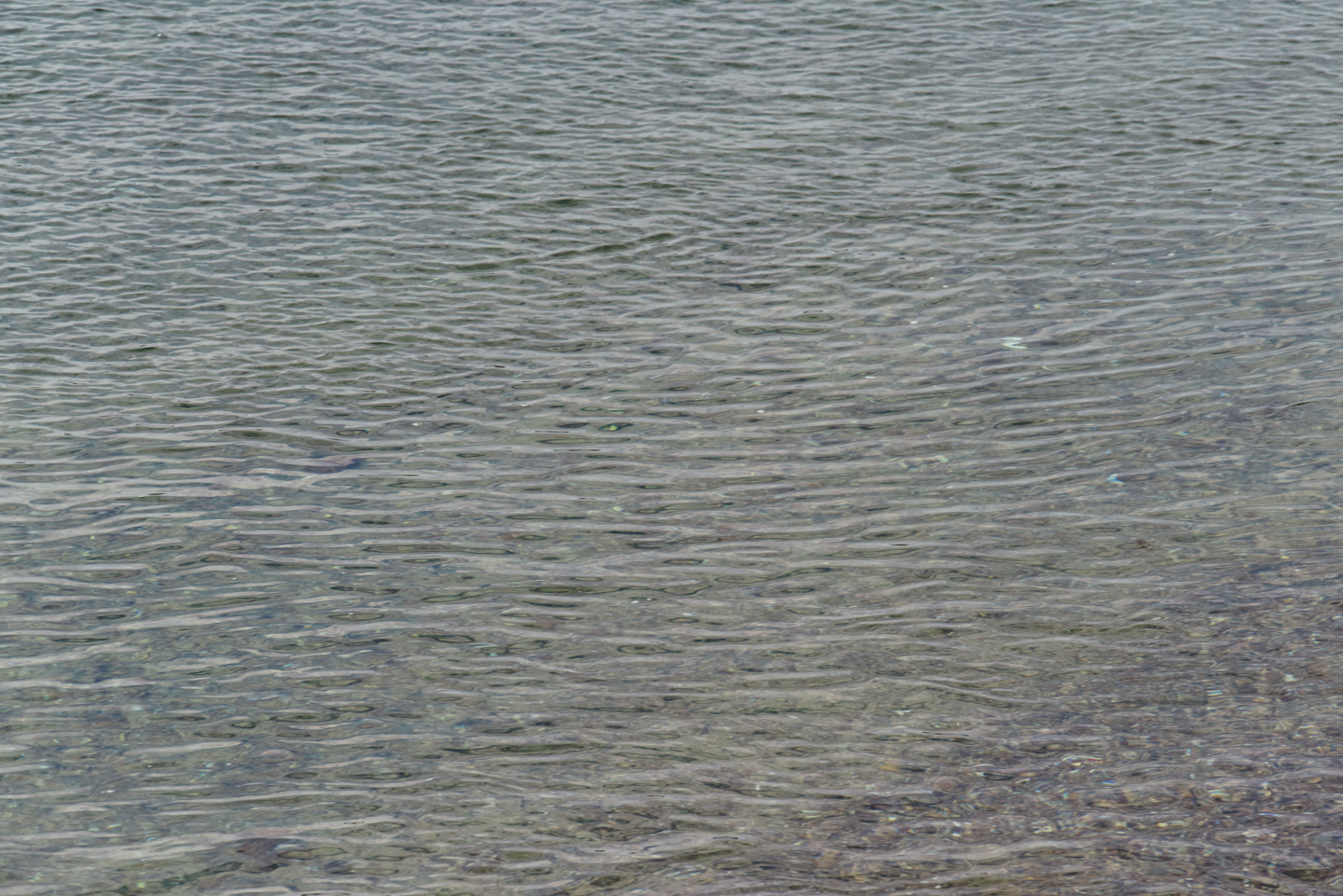
A couple other pictures to convey the sand and water mood of Scusset Beach State Reservation:
Back to the Preserves main page
Updated April 2026