
Camping in New Hampshire 2008
September 2008
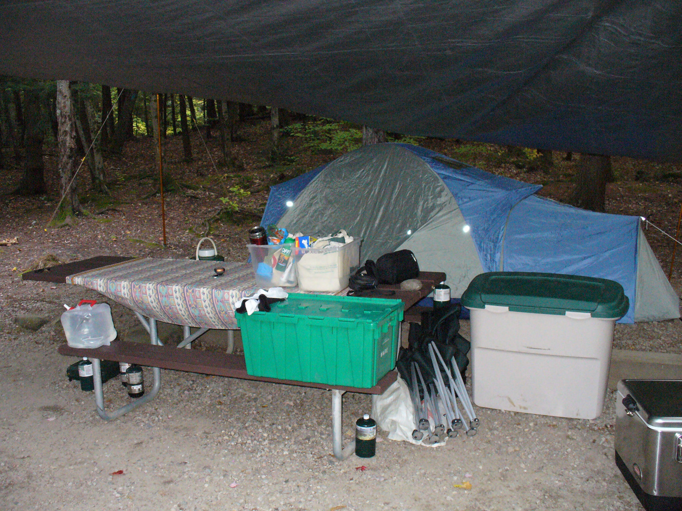
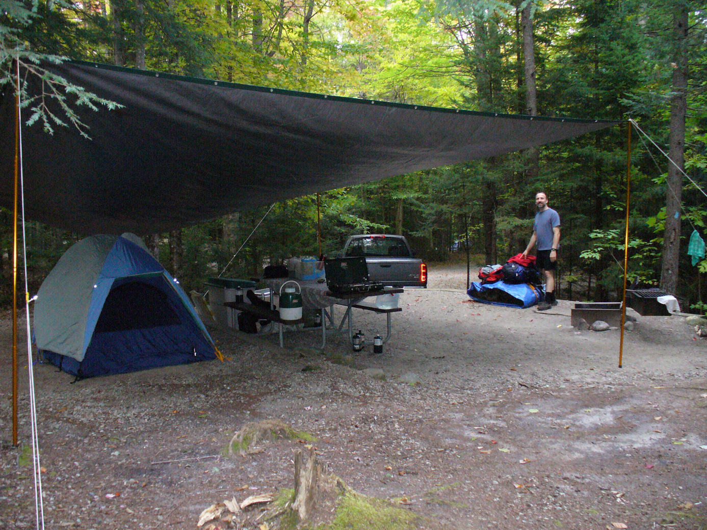
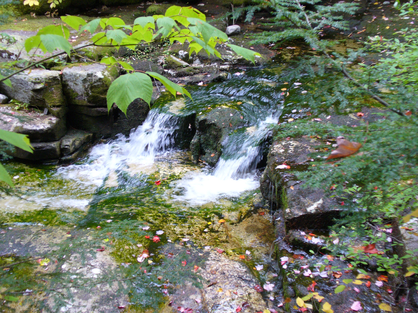
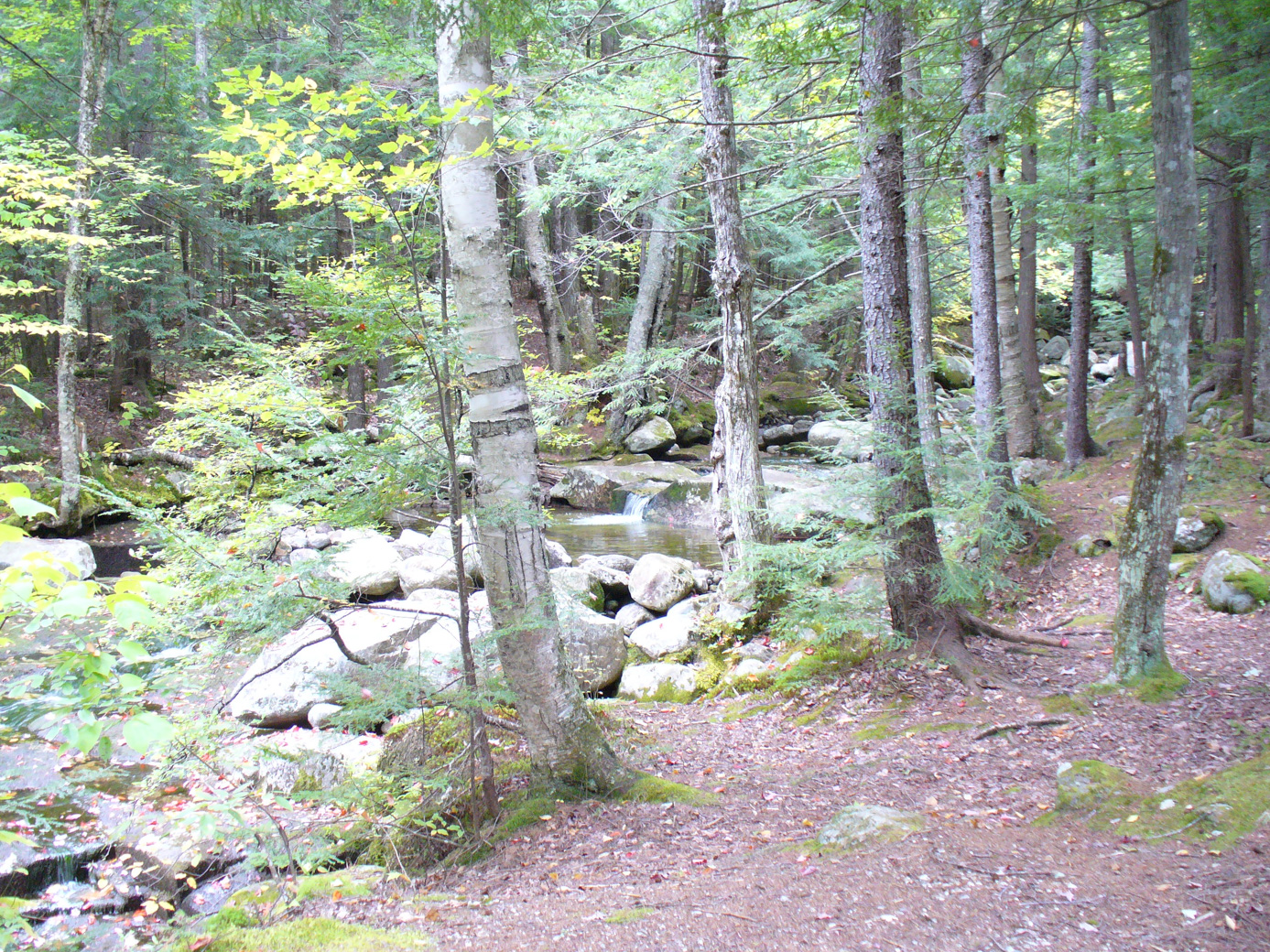
We always enjoy our camping trip. There is so much to explore in the White Mountains area of New Hampshire, we have gone back for a few years now. We stayed at Dolly Copp Campground, which is one of the National Forest campgrounds. Here are some pictures of our campsite. It's a nice site, because nearby is a little stream that acts as a 'sound spa'.
The 1st morning was a brisk 35'. Subsequent mornings were much warmer (47').
I forgot to bring the camera with us on the 1st day of hiking. We went up Mt Jefferson. The mountain has an peak at 5712'; we had a fantastic view from the top. The weather was excellent for the hike: clear, not too hot, not too cold. The hike was relatively short (5 miles round-trip, 2730' elevation gain). Turns out this is very lucky. We were going to do a little extra leg to Mt Clay (which is a sub-peak of Washington, not really it's own mountain). But at the top of Mt Jefferson, the sole of my hiking boot gave way. It came completely detached from the middle of the foot forward. This gives a new definition to flip-flops. Luckily, we saw a couple of back-packers and they had some extra twin. Paul was able to tie the sole back to the rest of the boot. But then on the way back down, the other boot did the exact same thing! Paul cut the rope in half & was able to make temporary repairs on both boots, although it wasn't as secure as the original method. But it got us back down safely.
So that evening, we went to Conway NH. The LL Bean Outlet was our 1st stop, and I found a pair of boots there that fit and felt comfortable. So we got them.
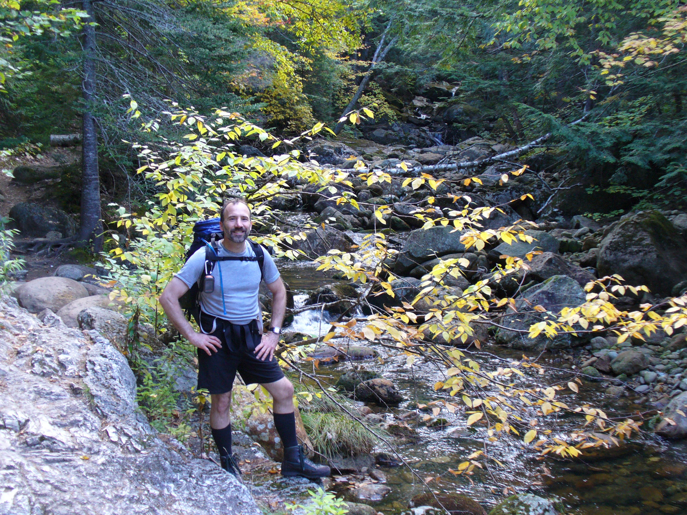
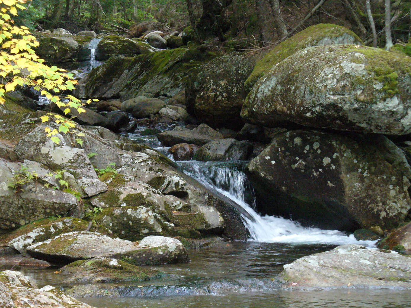
The next day we did 19 Mile Brook to Carter Dome (10.26 miles, 3795' elevation gain). This is a lovely hike. We went to Carter Notch and then up to Carter Dome. If you choose to do this hike, I suggest going the other way. The hike up from Carter Notch was rather difficult! Some pictures of the lovely 19 Mile Brook. (It is called this because it is 19 miles north of the town of Jackson.)
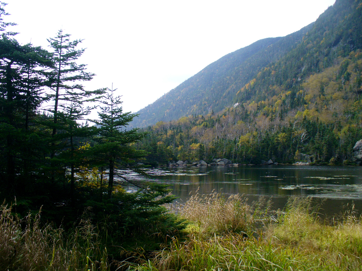
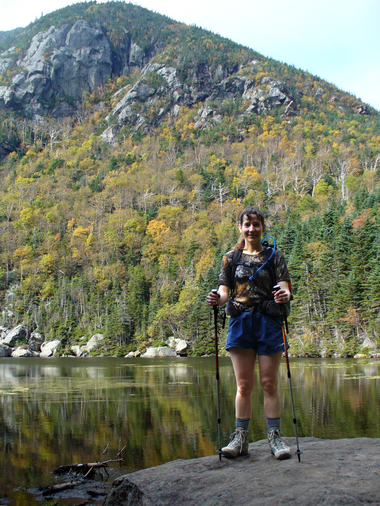
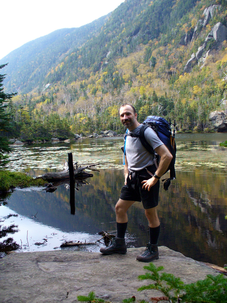
Carter Notch itself is lovely, with a pond at the bottom and cliffs on each side. Here I am, showing my hiking poles. These hiking poles really make a difference for my knees. And here also is Paul.
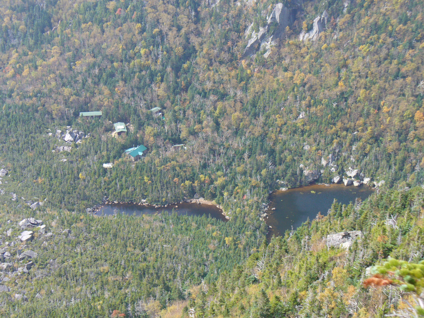
Here is a picture from part way up the mountain, looking down at the notch. You can see the AMC hut.
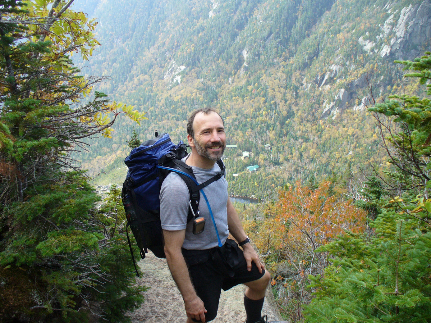
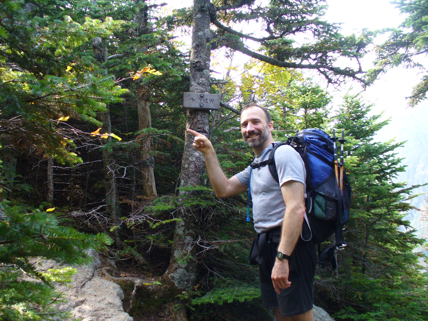
On the way up was a view point. We know because they put a sign. Here I am at the view point. (You can see I put the poles away for the very steep ascent. Don't let my smile deceive you; it was a tough hike up.) And here is Paul giving a good perspective on the height of the trees here. The trees are full size. (The ones behind him are uphill.)
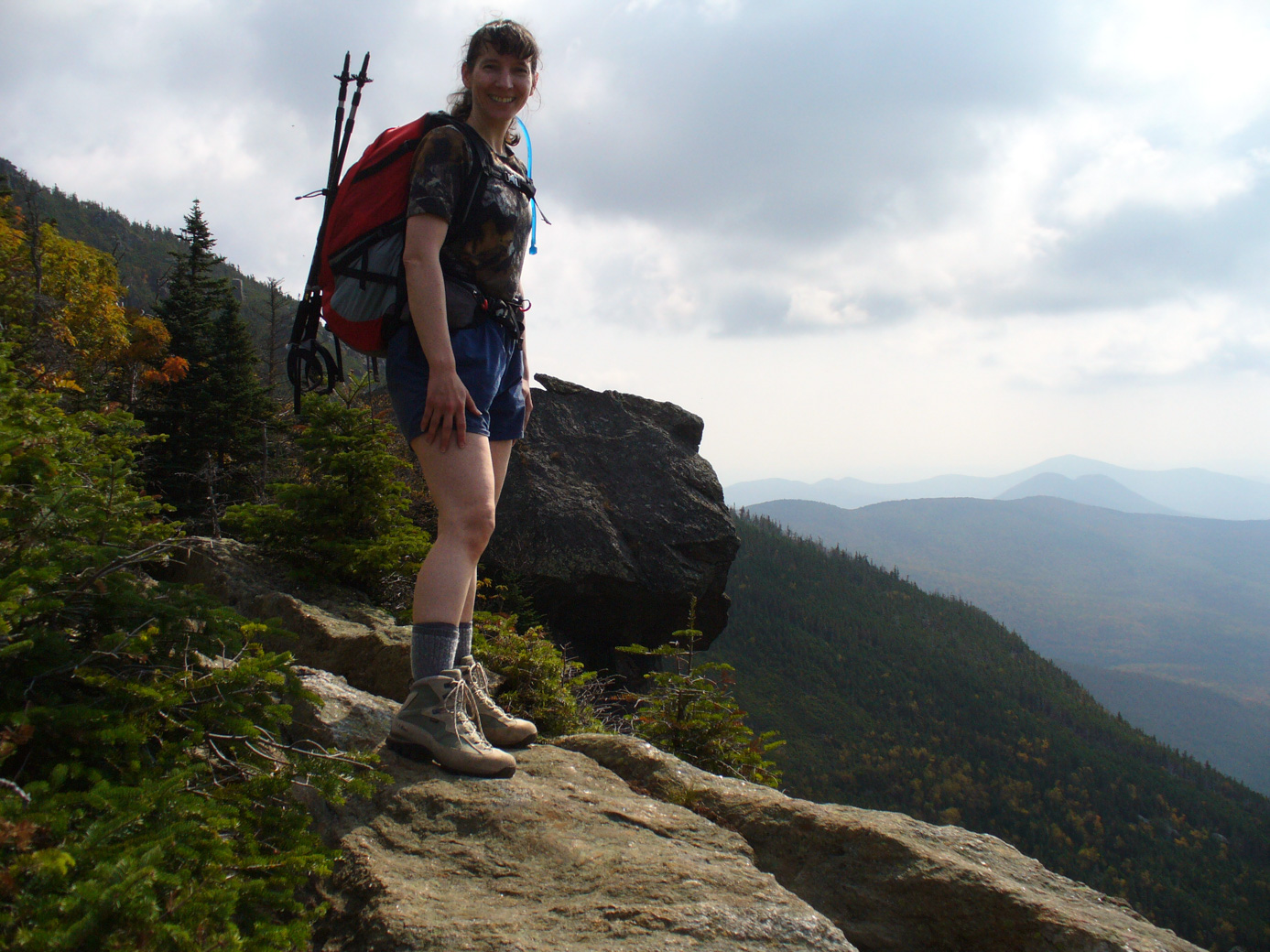
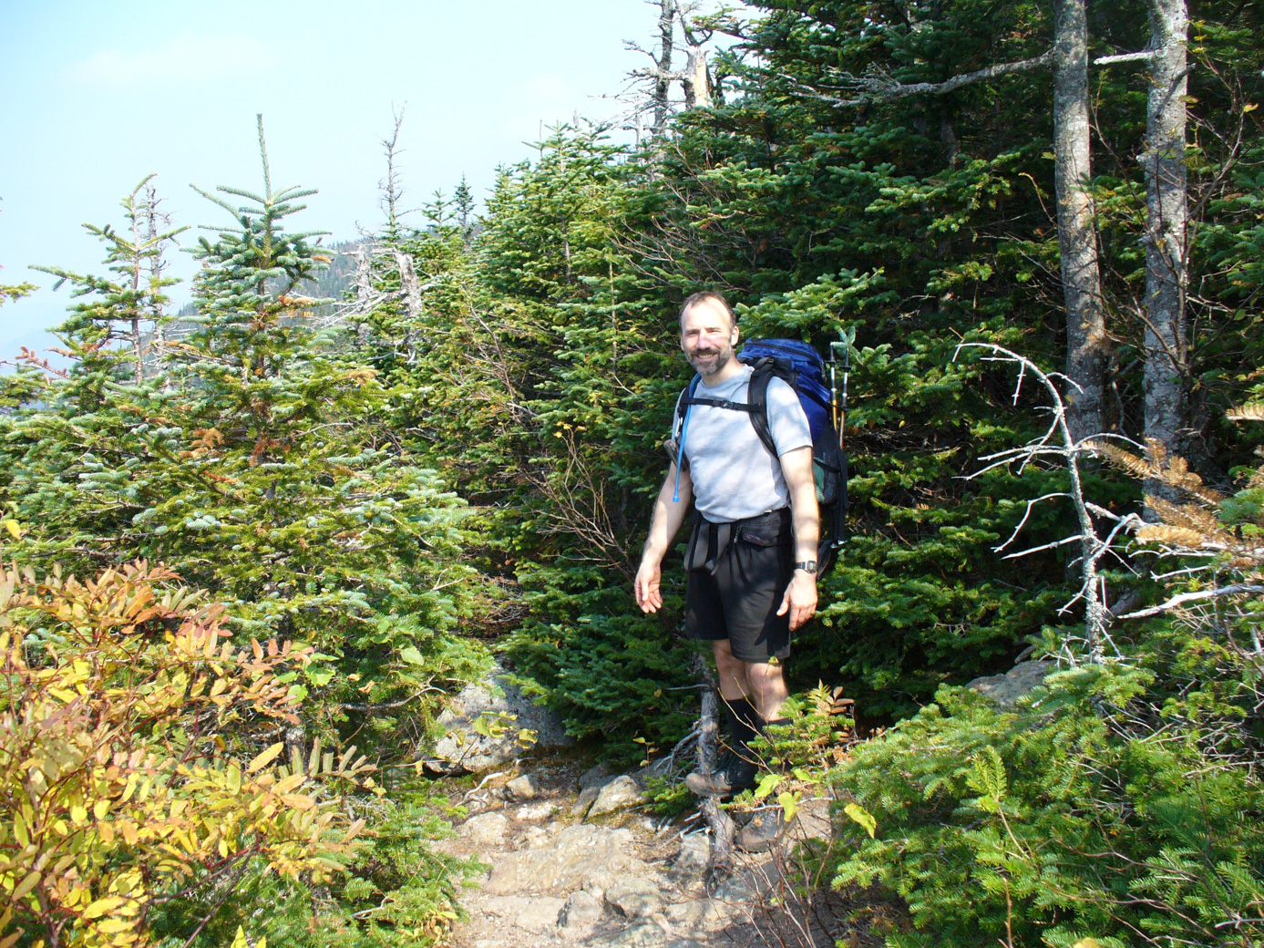
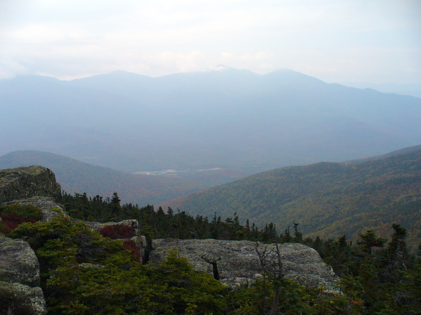
After the top of Carter Dome we went to Mount Height. The view from Mount Height is excellent. Looking one way you see Mount Washington, you can see the Carter-Moriah Range, and over to the East side (Baldface, Mt Meader). Here are a picture looking back at Carter Notch, Paul at the peak, with the east peaks in the background, and one looking over at the presidential peaks. (You can see the start of the Mt Washington Autoroad.)
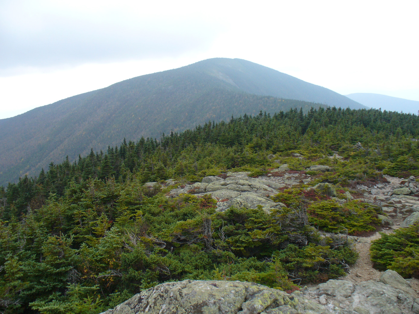
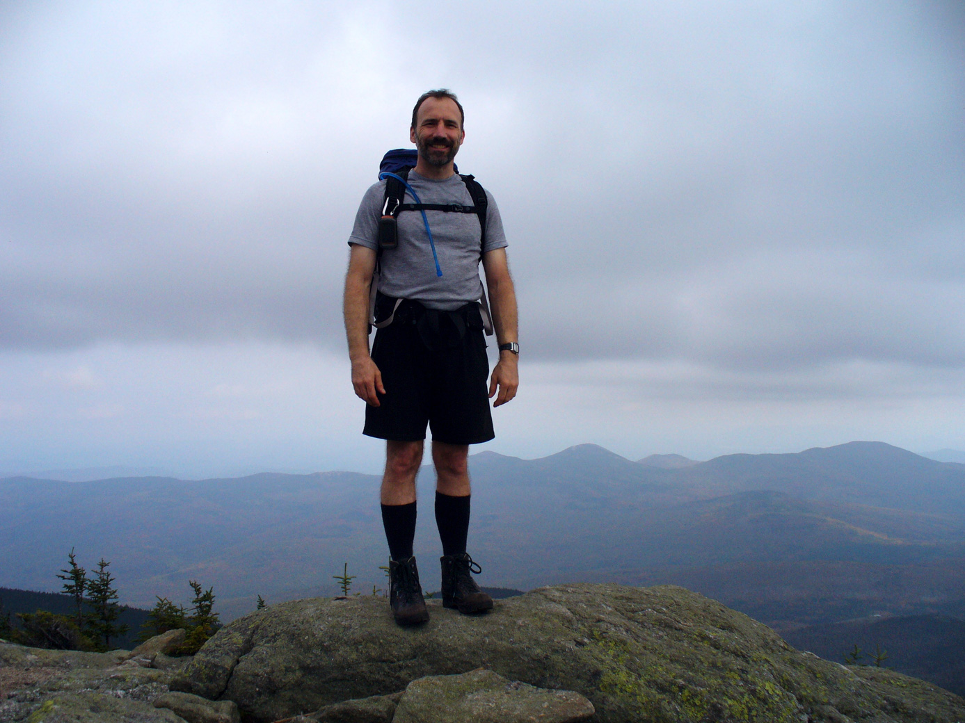
For those that are interested, here is our meal plan for the week. Breakfasts: instant oatmeal plus toast two days, pancakes one day, scrambled eggs & toast one day. Lunch: hummus & tabouli in wraps with lettuce, eaten on the mountain, with Gatoraid. Plus trail mix, peanuts, and plenty of other food. Supper: pasta, sauce, & bread the 1st night. An Indian dish (green beans & potatoes), rice, & nann. Chili over fire-baked potato plus corn bread. (I had made the indian dish & the chili at home.) Baked beans, 'smart dogs', fire-baked potato. S'mores each night. Plus we had some fresh apples we got at an orchard & some apple cider. We gained weight.
Our last day hiking we went up Black Mountain Ski Trail (3.2 mi, 1475' elevation gain). There are a number of Black Mountains in the immediate area of the White Mountains; you would think they would come up with more interesting names. Not sure how good of a ski trail it would be. It is wide but rather steep for the bulk of the hike. Near the top there is a cabin (available for rent). The summit provides an excellent view of Carter Notch.
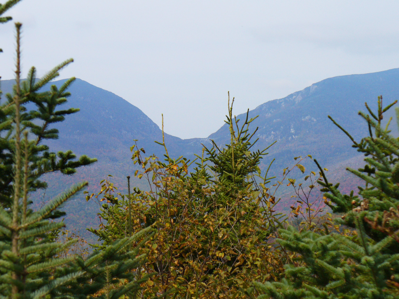
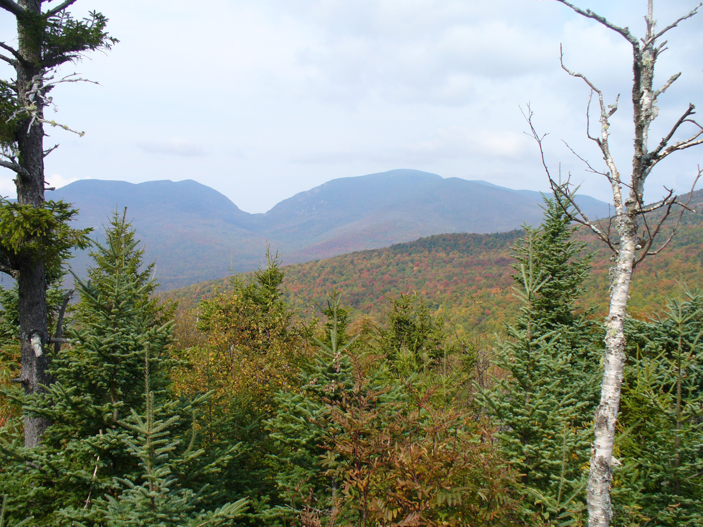
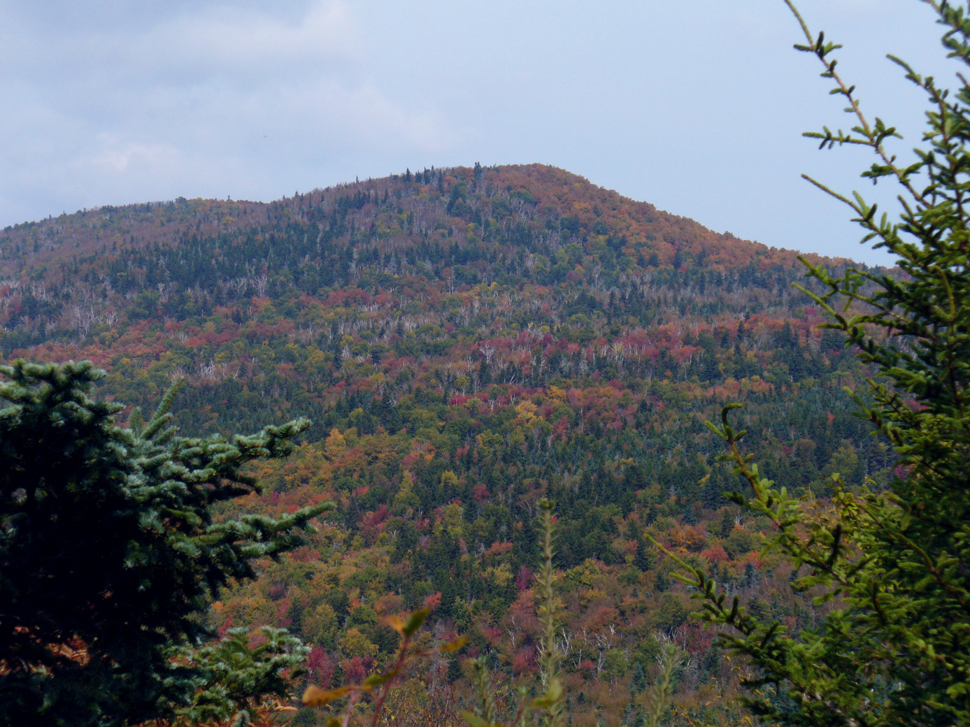
The fall folliage was really showing by this point.
Us at the top.
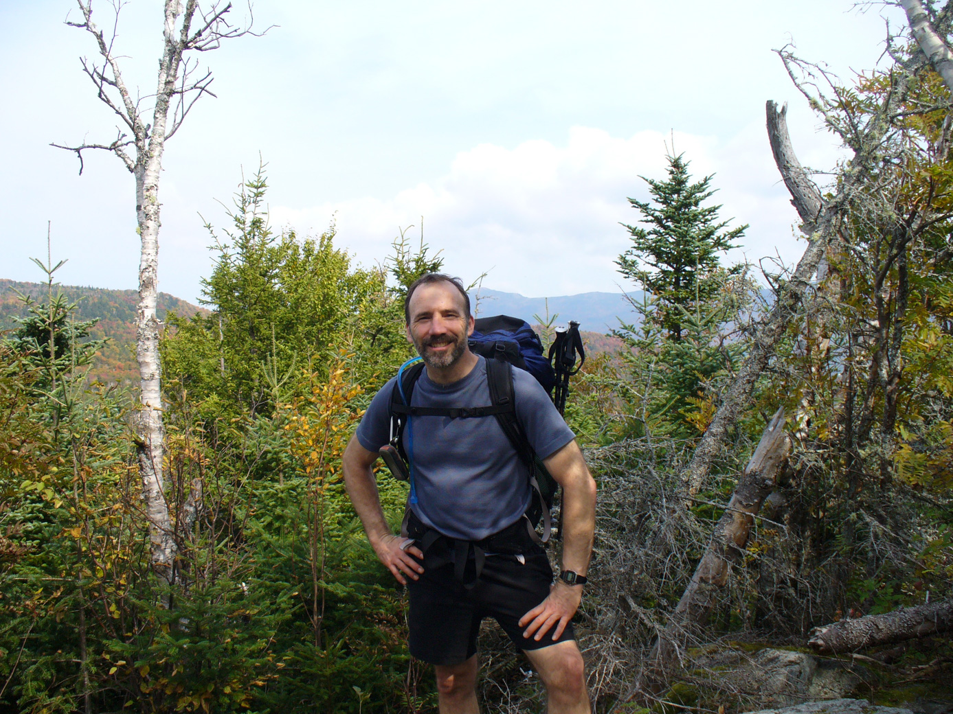
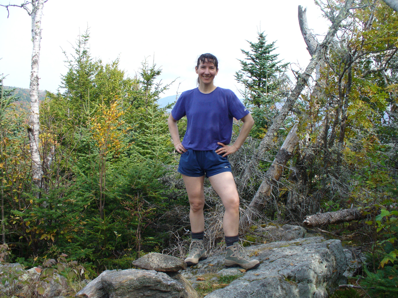
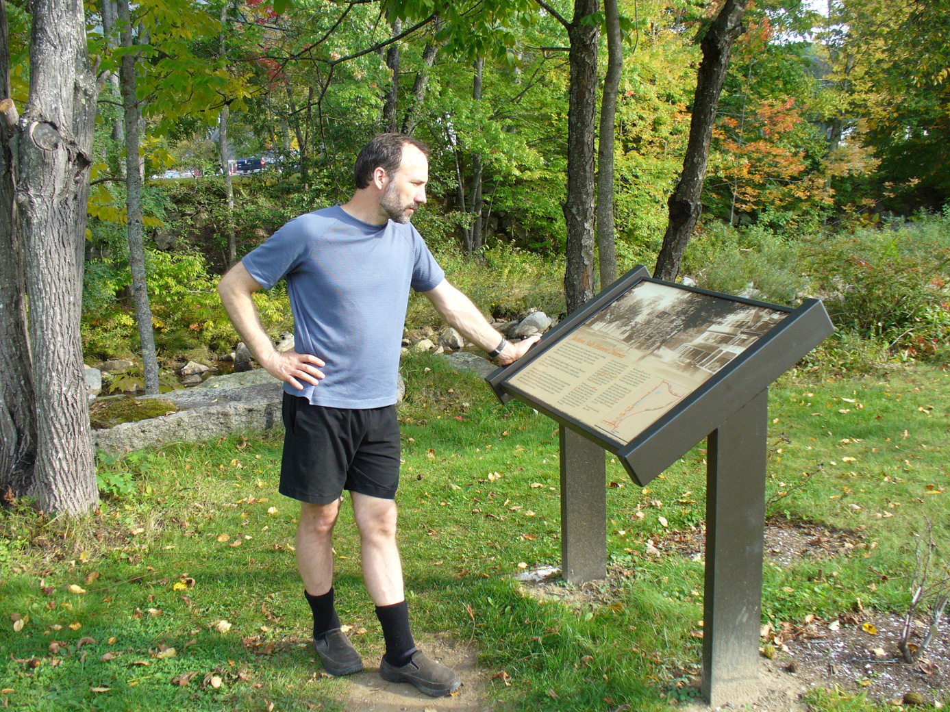
This hike is near the village of Jackson. This is a very pretty village. There is a lovely river running through town, with pretty falls. The town has made this area a preserve open to the public.
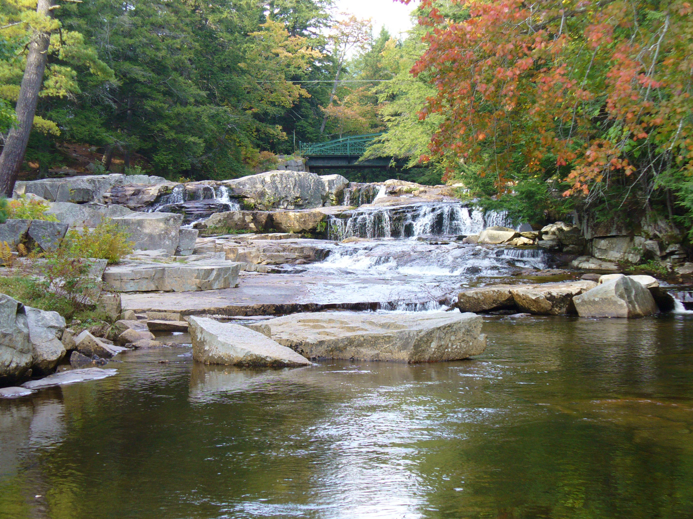
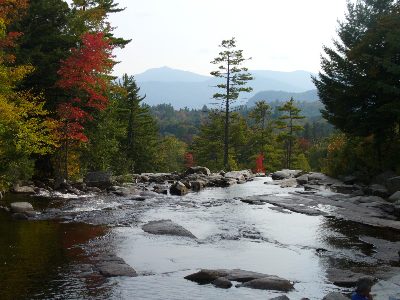
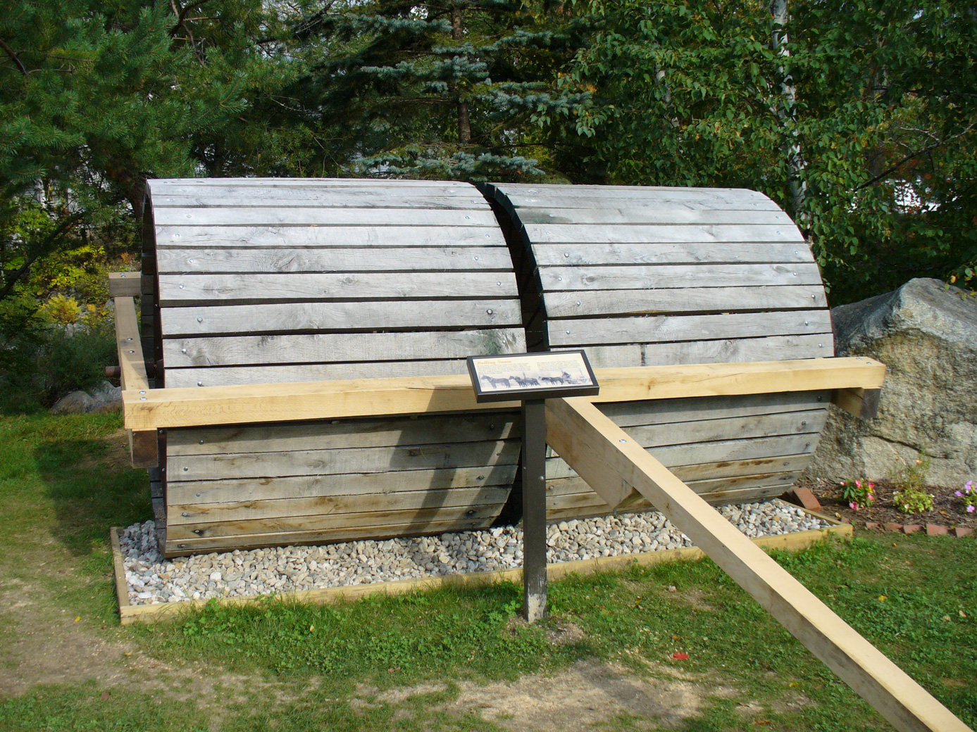
They have a small information section. We thought this 'snow roller' was very interesting; it was used to pack the snow down rather than plowing, and sleighs would be used for transportation.
Then we headed back home on Friday. We were about 5 miles from the campground when the rain started. Can't argue with the timing!
Updated March 2026