Castello di Frontone and Telecabine Caprile
October 2023
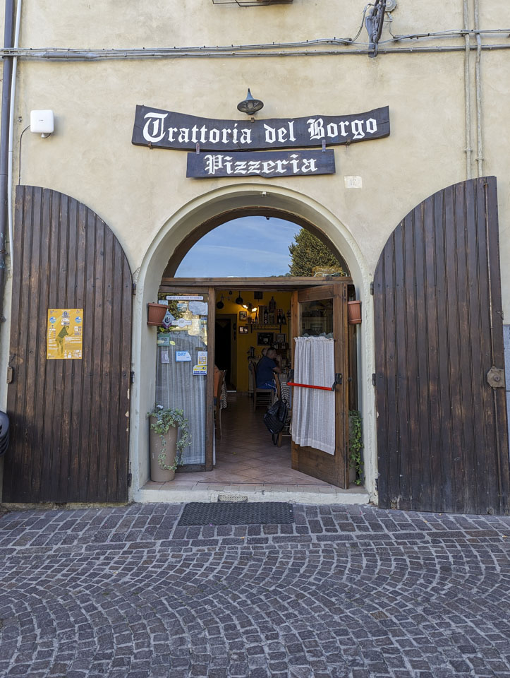
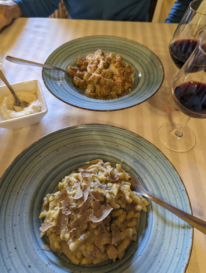
After class on Friday of our first week, it was time to visit the mountains that create the border of Le Marche and Umbria. Lunch was on our way, in Pergola. Anne checked her phone and found a plausible sounding place, so she directed Paul to turn right on this street and left on another, and we soon found ourselves on a very narrow street with little possibility of parking our relatively large rental car anywhere near the restaurant. So we kept on driving, and ended up in an open parking area that conveniently had a restaurant right there. It is a trattoria (a rustic restaurant that serves local specialties) and pizzeria (which of course serves pizza, but not usually at lunch). The meal closer to the camera is passatelli with truffle. The one in front of Paul is gnocchi made with nettle.
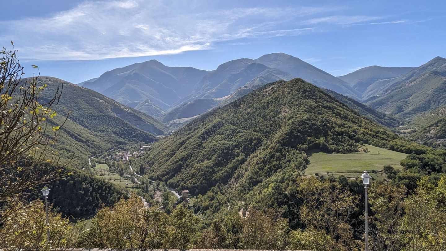
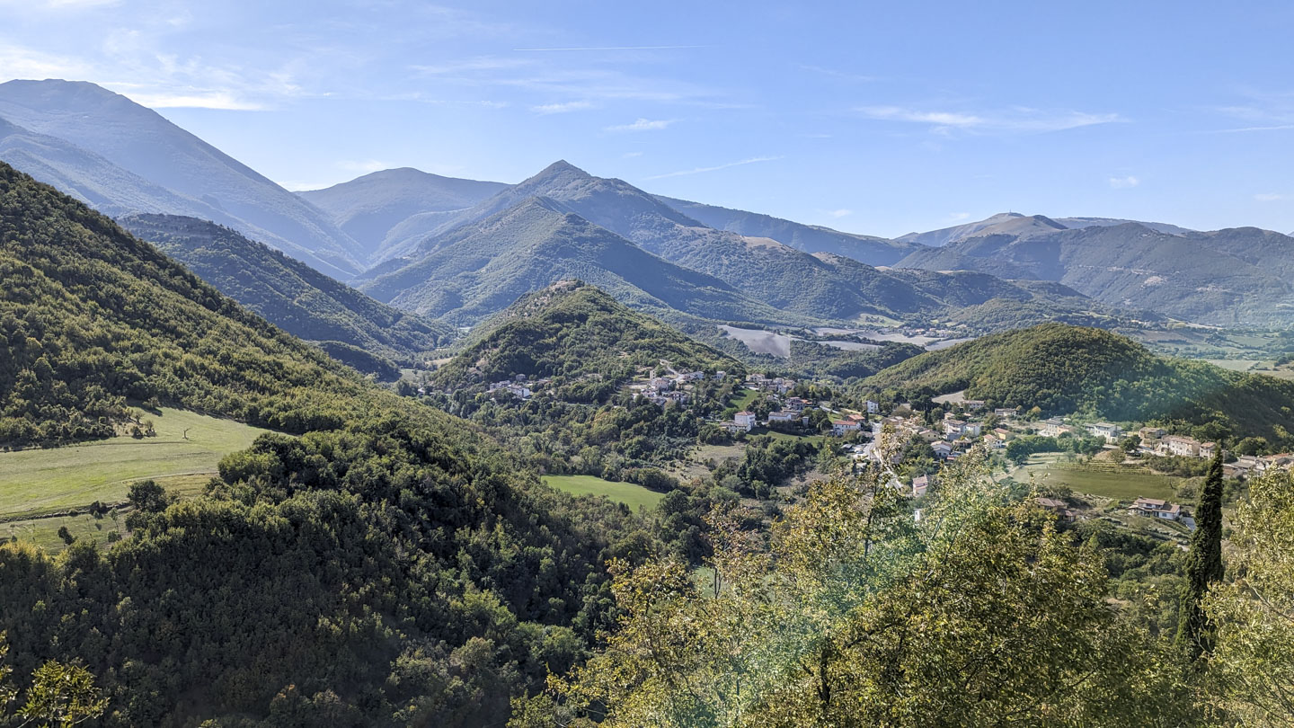
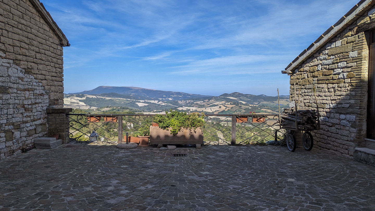
After lunch, we continued on our drive. Anne told Paul to turn right, which he did ... followed by Anne saying "No, your other right!" (Anne often says right when she means left.) But this wrong turn was lovely, since it brought us up to Castello di Frontone. This little hilltop borgo has the most amazing views! Yes, that is an agricultural field on the right of this first picture. The little village to the left is called Foce. Looking beyond Foce reveals Mount Catria (5580 feet tall). The peak to the right of Catria is Mount Acuto (5472 feet). The next photograph is to the right (and north) of the one above it.
And the village is also pretty. We had seen the castle long before we even took that wrong turn, and it greeted us when we got to the borgo.
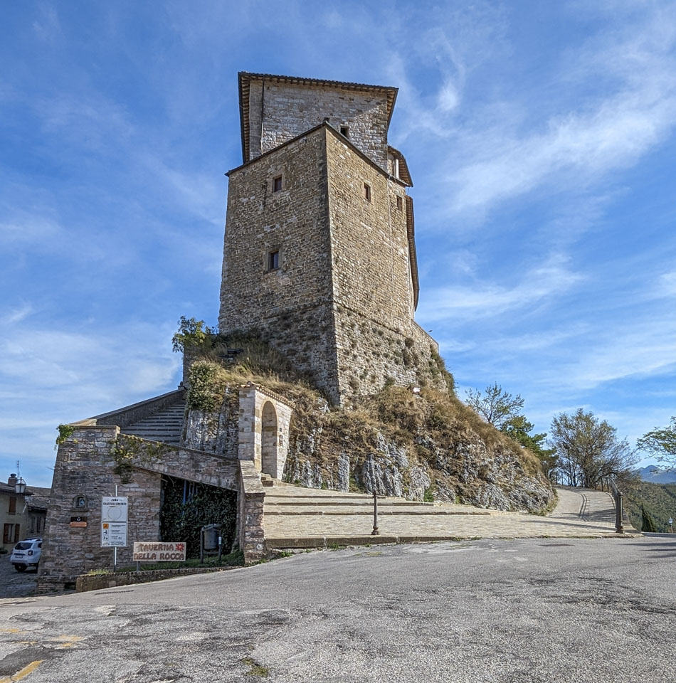
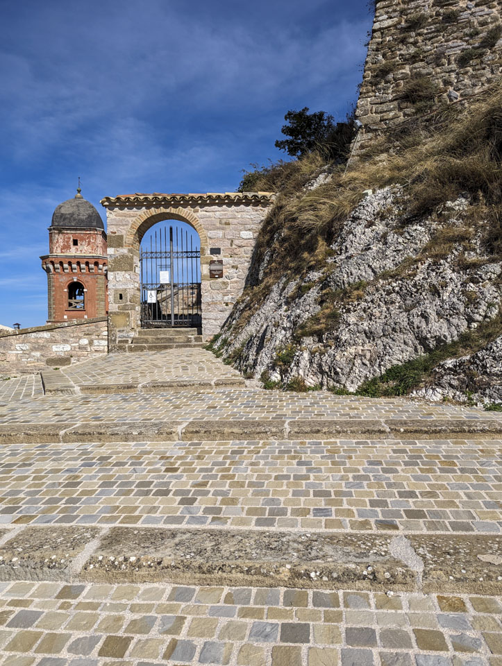
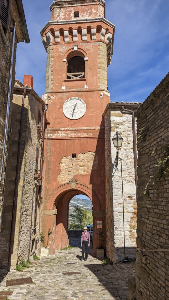
The castle is from the 11th century. Although it was closed when we were accidentally in the village, this page has pictures of the castle interior. The entrance was at level with the bell tower.
Paul took this video when we were on the far side of the castle. It was windy, so the sound isn't the best. For an additional view at the area, check out this drone 360-degree view that someone was kind enough to upload to Google Maps. Remember we showed you the bicycling group in Mondavio? There is a sign in Castello showing a popular bike route of 120 miles. A couple of the 9 sections have 2300- foot elevation differences between the start and finish.
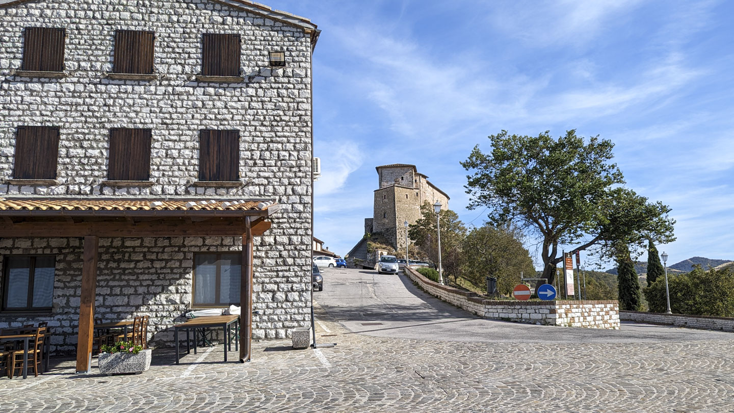
There is a restaurant at the other end of the village. We are standing at one end of the village (by the restaurant) looking back at the other end of the village (the castle).
Here is the bell tower, with Anne for size reference, and another view of the tower looking down the city wall.

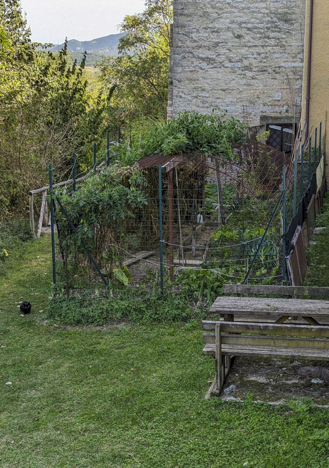
Just on the other side of the wall is a little garden. In October, it is towards the end of the season but plants are still growing, including tomato plants that grew through the protective caging. You can see some lettuce, onion, and other crops also in the garden.
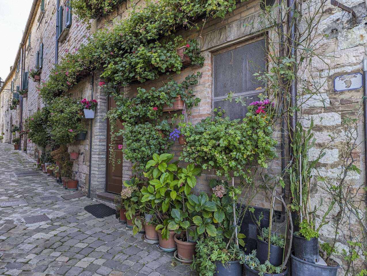
This house has a different type of garden outside the door - a potted flower garden.
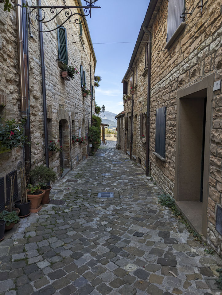
Looking down one of the streets (towards the restaurant shown above).
One little piazza had a view northeast, and an atmospheric cart of small logs for someone's fire.
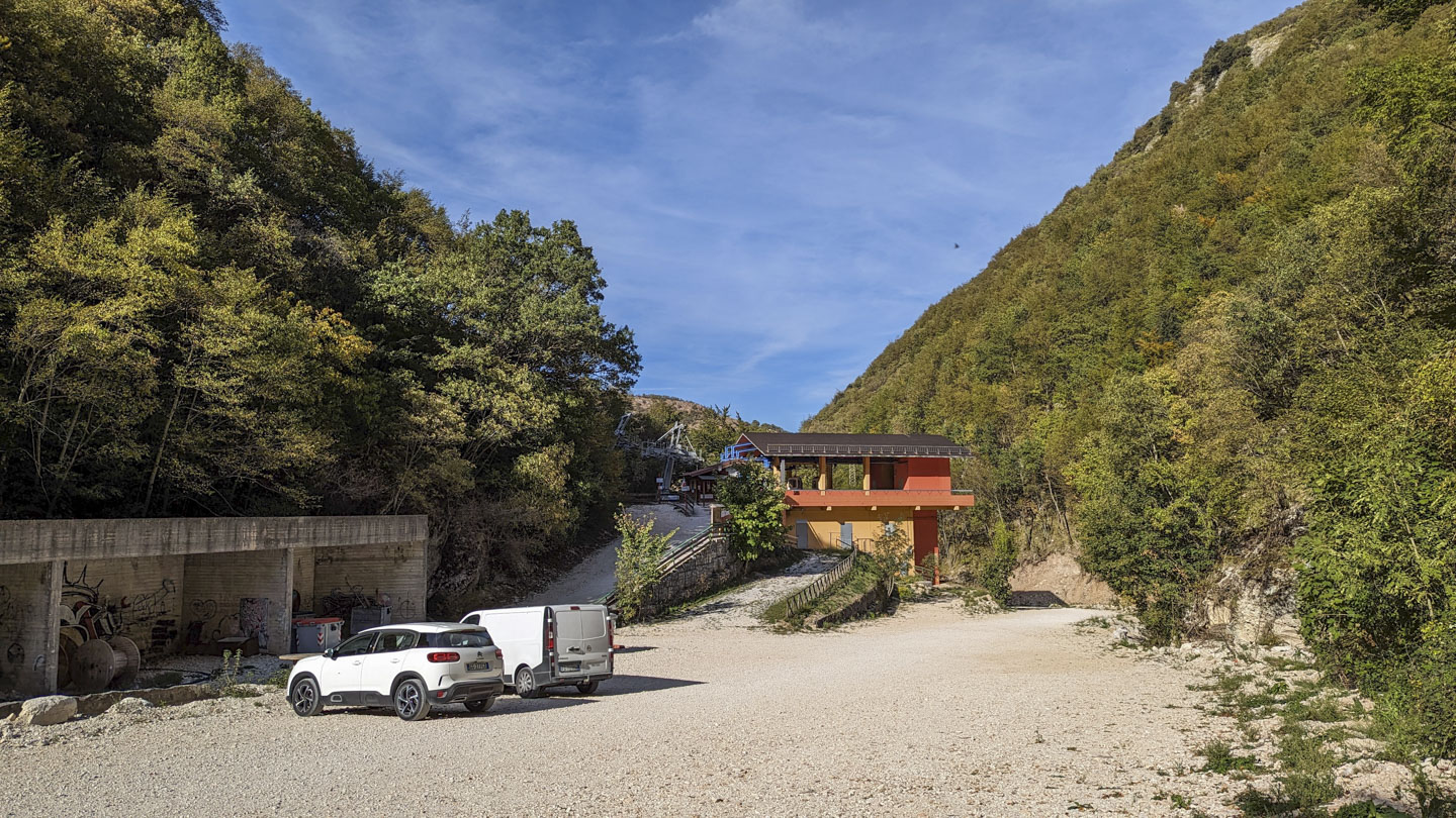
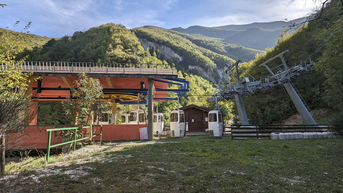
After visiting Castello di Frontone, we continued the direction we were originally heading, which is through Foce to Caprile. We wanted to see the Telecabine Caprile - Monte Catria.
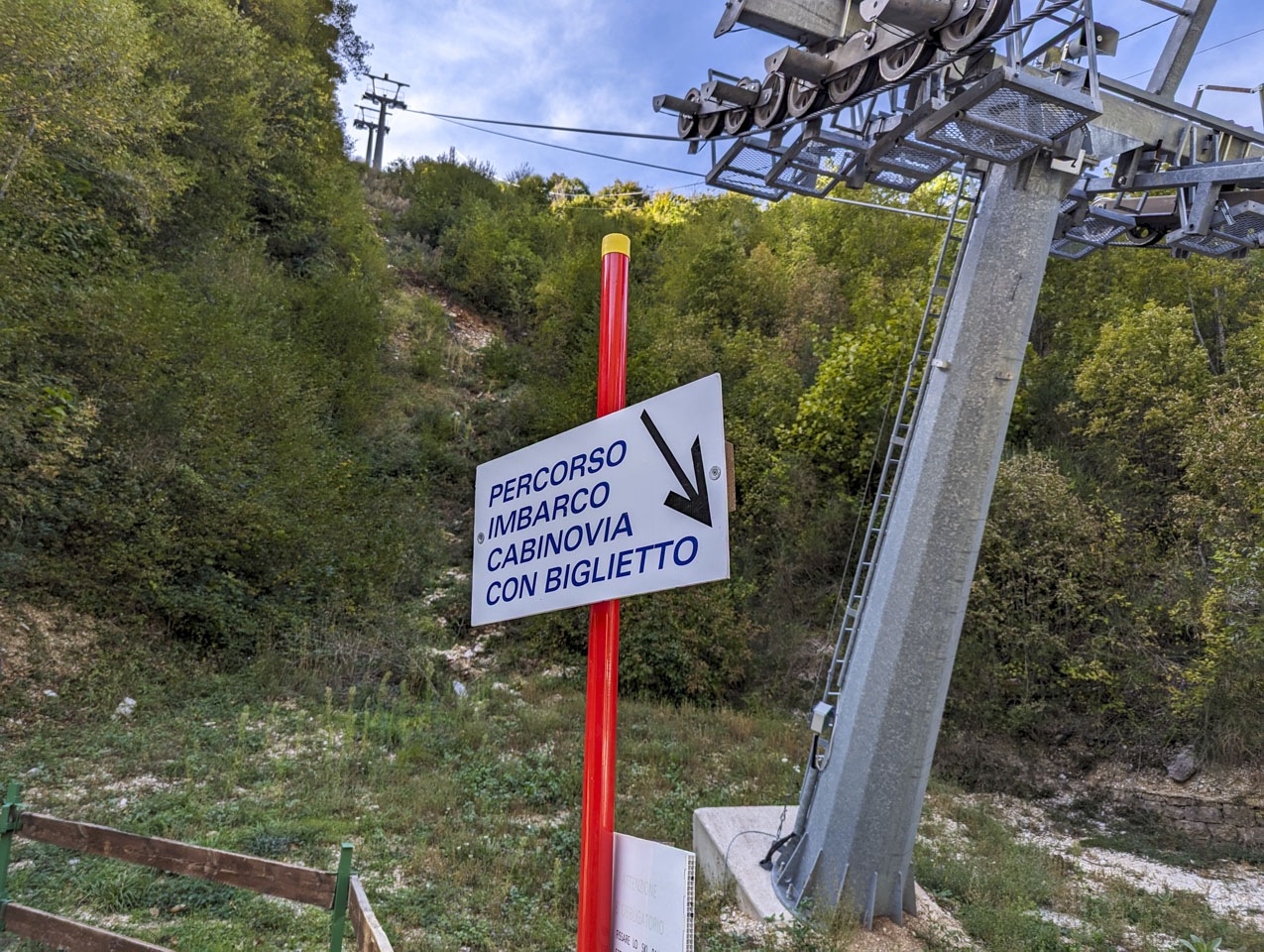
A telecabina is a ski gondola lift, or an enclosed ski lift. It can also be called a cabinovia, as it is on this sign that shows the lift starting up the mountain. (The sign indicates the path for boarding once you have your ticket.)
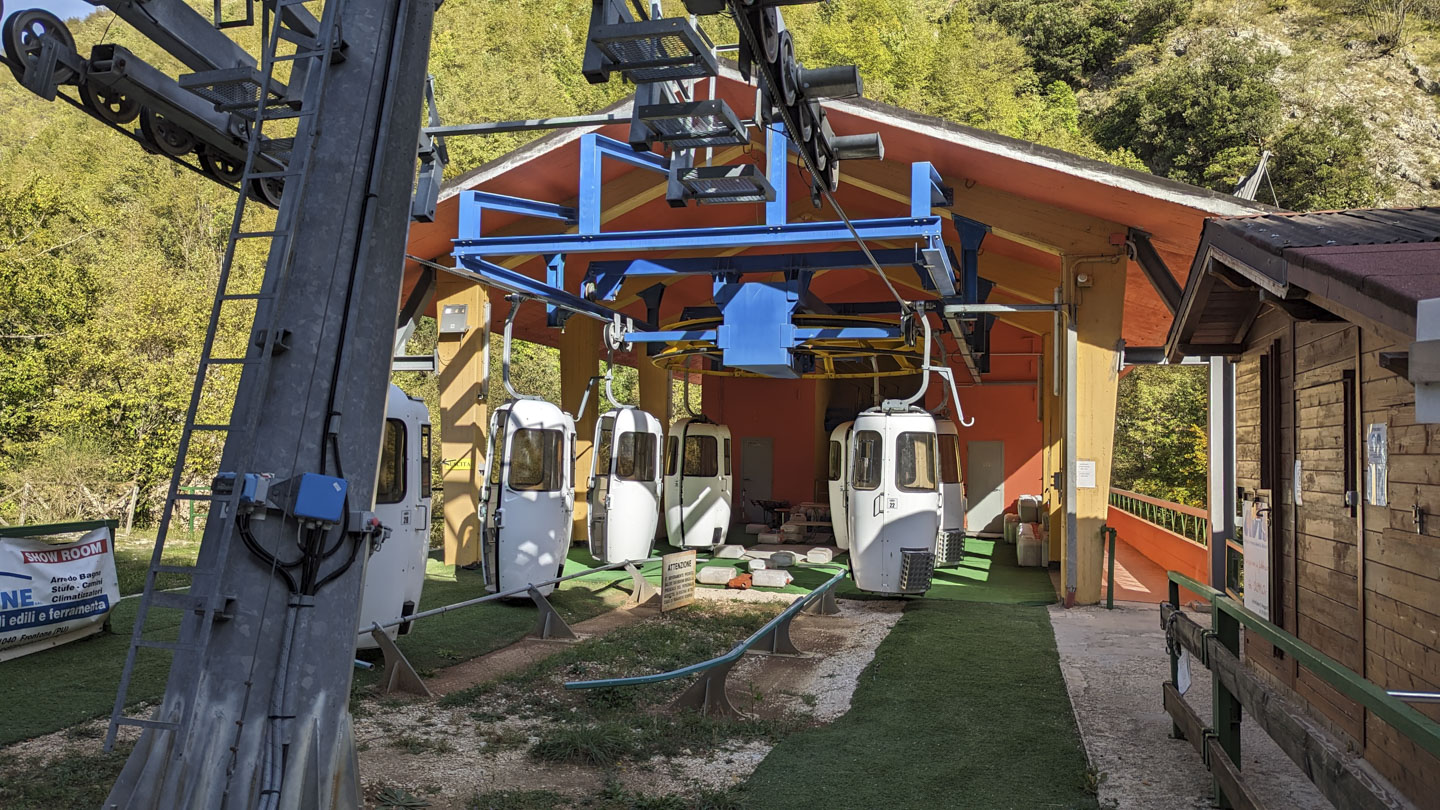
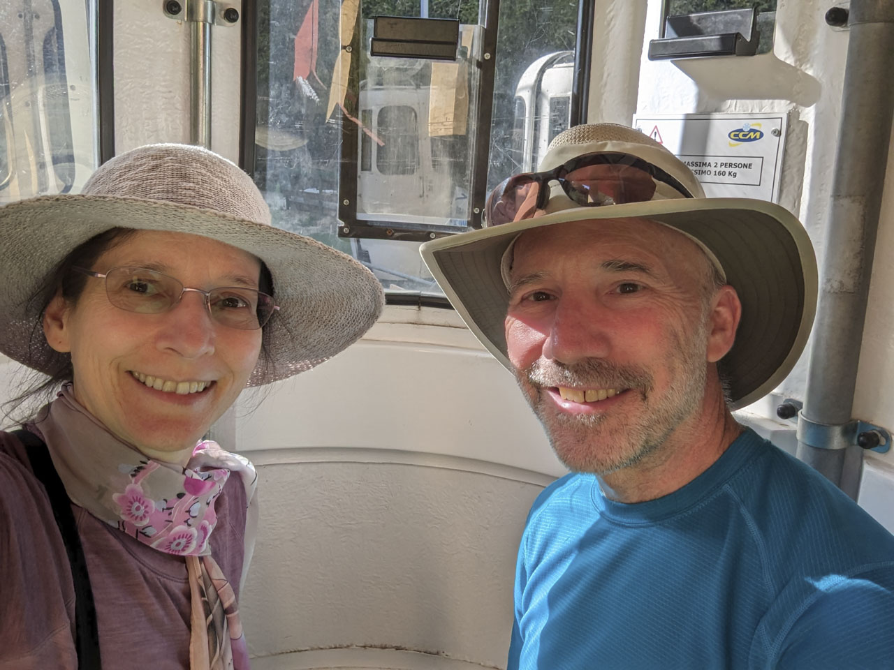
The date of this video would indicate the cars are only 4 years old. These little gondolas are for 2 people each.
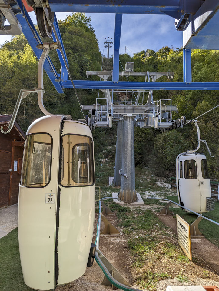
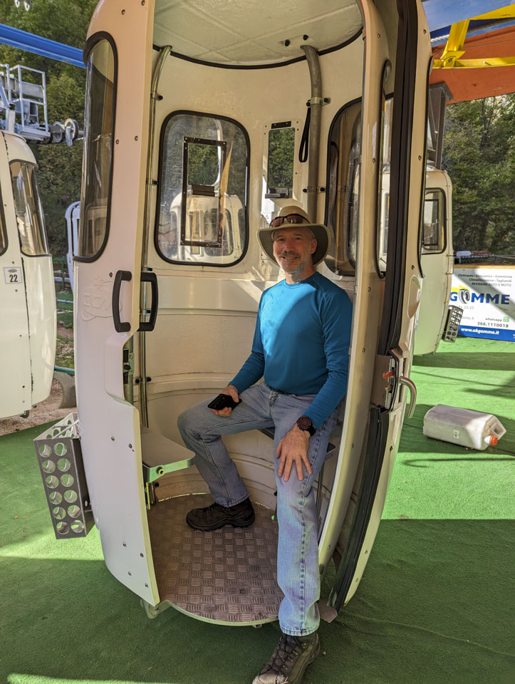
You can't actually see the ski resort area from the base of the lift. Up out of view are trails and buildings, connected from the parking area by these gondolas.
Updated April 2026