Conero Regional Park and Sirolo
October 2023
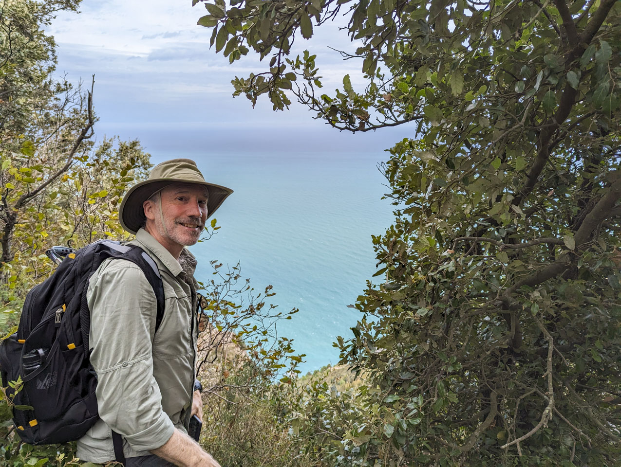
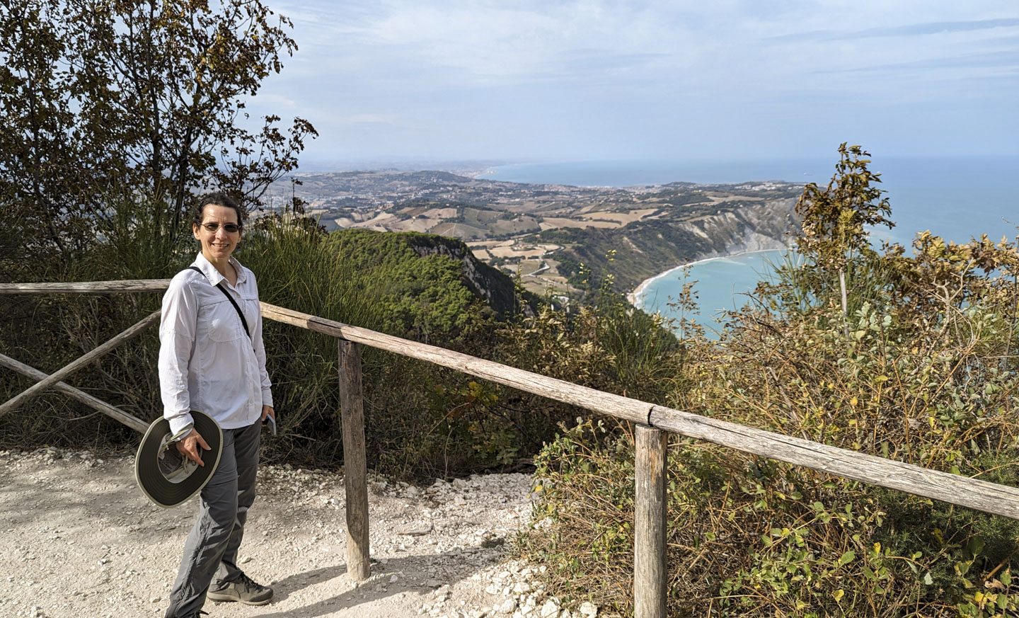
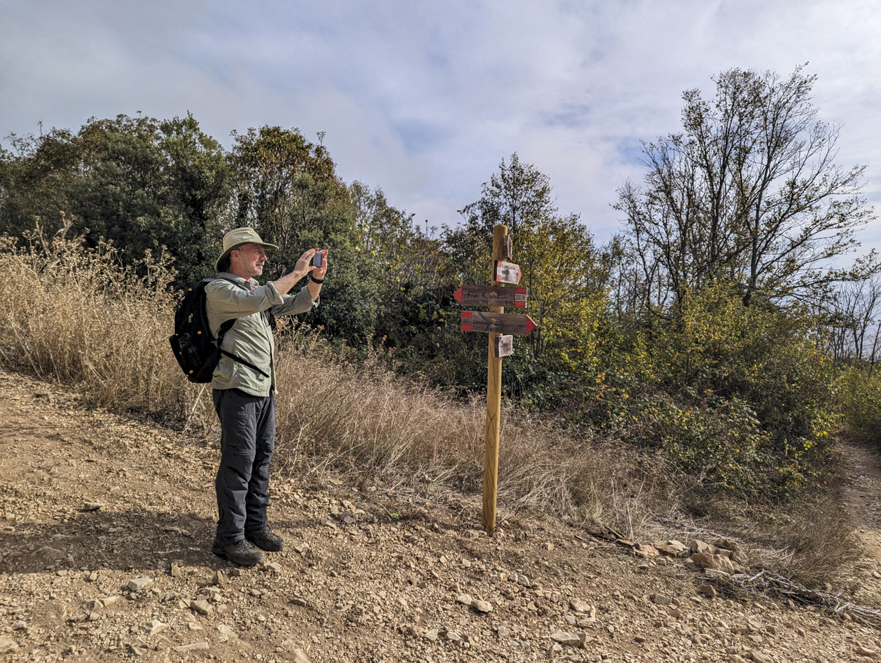
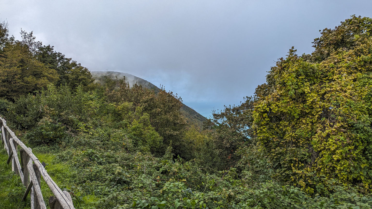
During our visit to Italy in 2018, we had wanted to do a hike but did not fit it in. So on this trip we made the time for one. There is a large park just south of Ancona called Conero Regional Park (Parco Naturale del Conero) that we had heard about, so on one nice day (Monday October 30, 2023 to be precise) we went there for a hike. Although Conero is a mountain, the parking spot is fairly high up so the walk itself is not overly steep. Here is Paul at the start of our walk. Much of the trail is through woods.

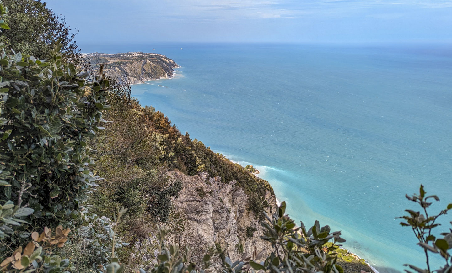
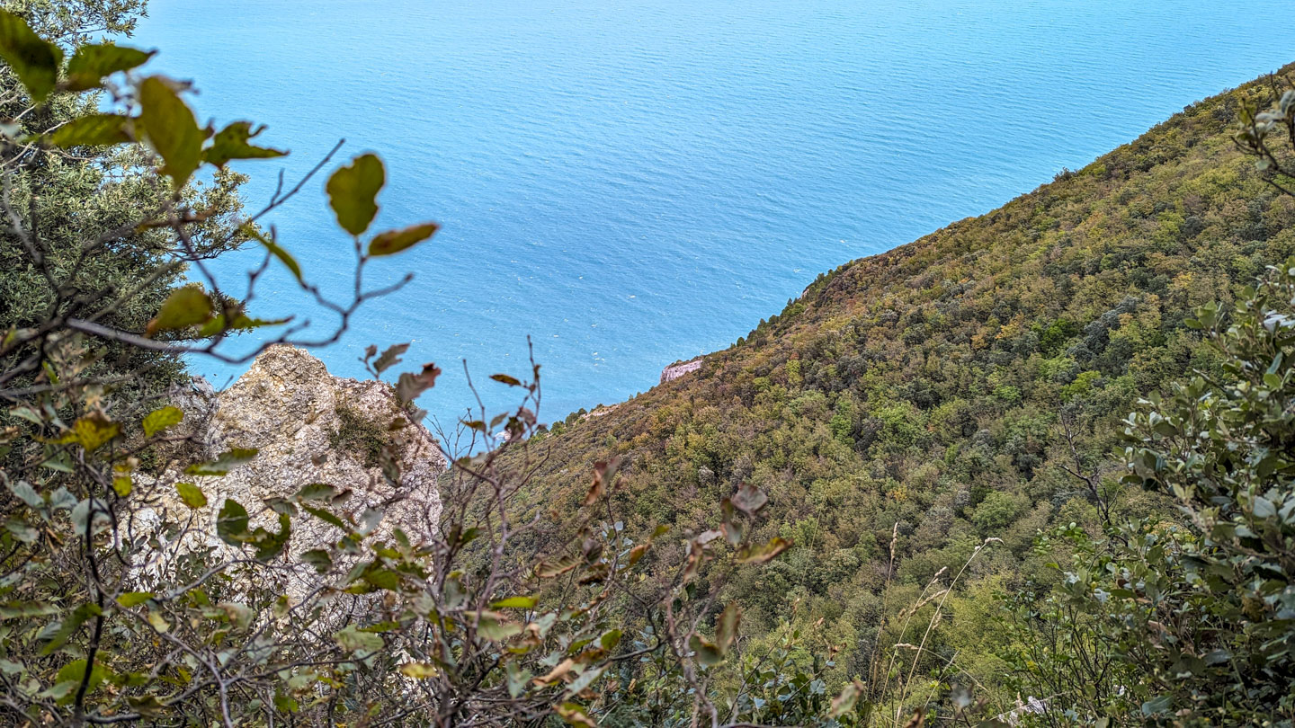
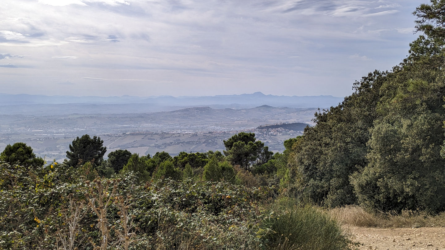
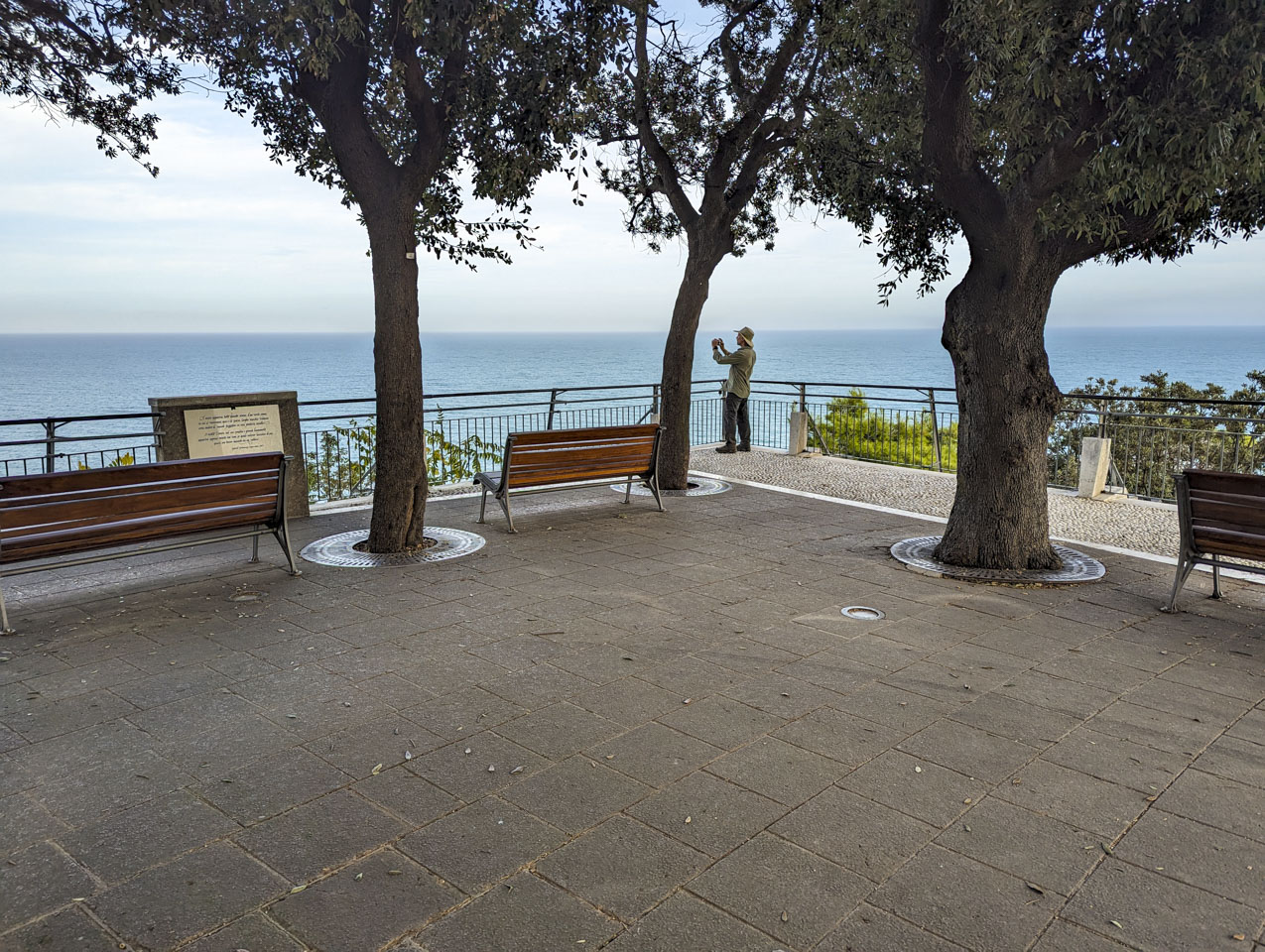
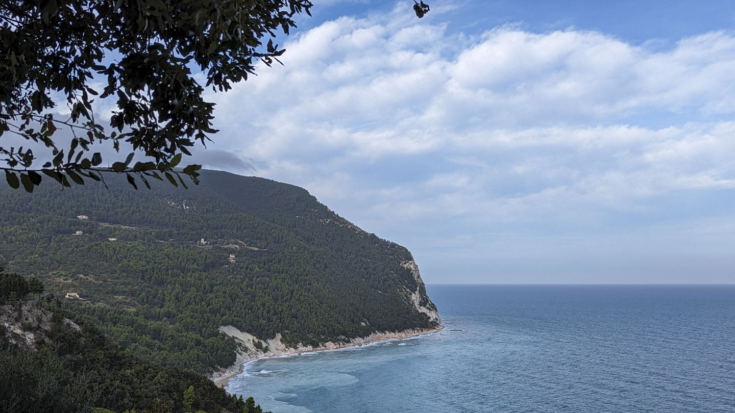
The park goes along the shore of the Adriatic Sea. We passed an official viewpoint and went on an unofficial looking path that turned out to be a dead end, ending at a fence of the military base that is at the top of the mountain. The base did not look active although it is still fenced off. There was a little viewpoint on the side of this path. Very little. Here is Paul and a couple pictures he took there: the first looks north and the second one looks south.
He also carefully made a video. In it, Paul mentions the many beaches along the shore. Some of these are only accessible via boat, some by hiking, and at least this one is accessible by car.
We then backtracked to the more official lookout point, Belvedere Nord, which provides a view north. The city in the distance is Ancona.
Paul took a video from this viewpoint as well. The city in the distance is indeed Ancona. Portonovo, the area below us with the beach, is shown in the video immediately after we mention the name.
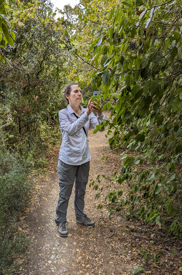
The native plants in Italy are, obviously, different than back in the States. Anne used an app on her smartphone to identify some of them. If we recall correctly, this was a laurel plant.
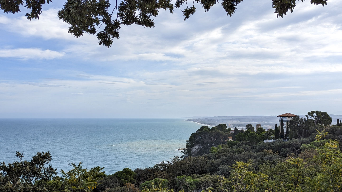
We took a slight detour at our turnaround point to get to another viewpoint, Pian Grande. This spot is further north than the previous one. The photo is taken looking northwest, where Ancona can be seen. In the middle of the photo is Portonovo.
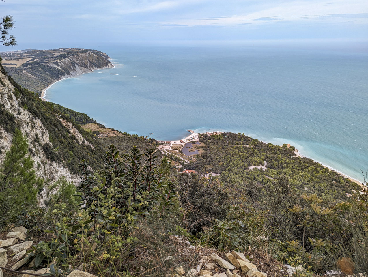
There are a few of points of interest to mention in this closer view. First are the little saltwater lakes. These are one of the very few wetlands along Marche's coast. Going towards the water from the lake you see a pier, and just to the right of that, visible over some trees, is a large building. That is a Napoleonic fort, dating to 1810 for defense from English ships. This historic building is currently a hotel. And then moving further right there is a tower. This is the Watchtower, built in 1716. It was the summer residence of a poet from Ancona, Adolfo de Bosis (died 1924). The building was at least a few years ago a Bed & Breakfast although it does not seem to have an active website.

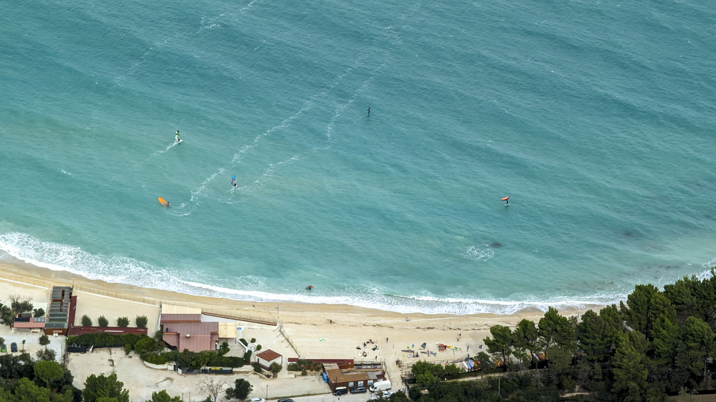
But what is that in the water on the right of the photo above? Wind surfers!
Paul took a video here as well. You can tell the wind was blowing; it is particularly audible in the first part of the video.
As Paul commented in the video, at that point our return path went inland away from the coast. We did have some views inland though, across to the Apennine Mountains.
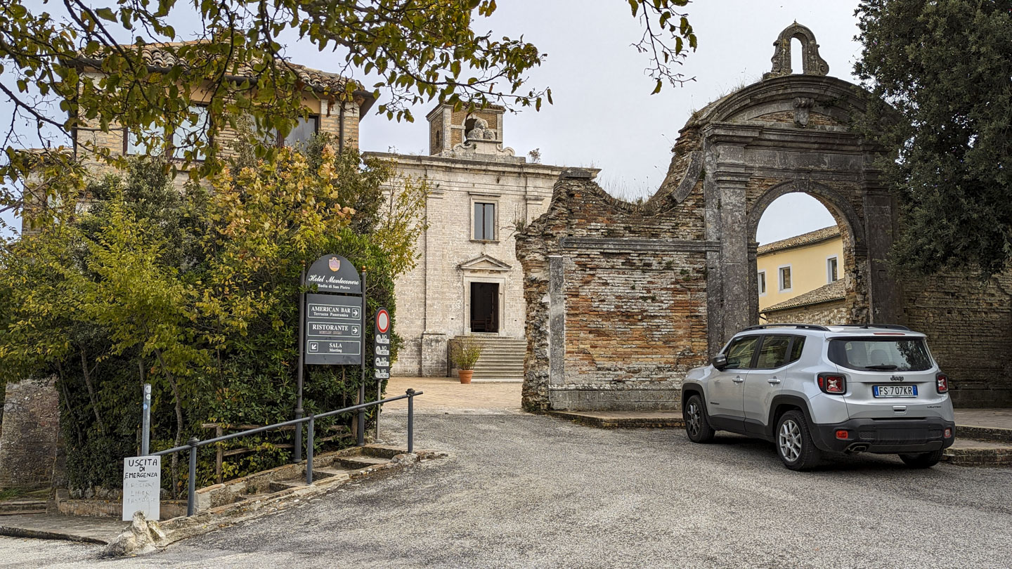
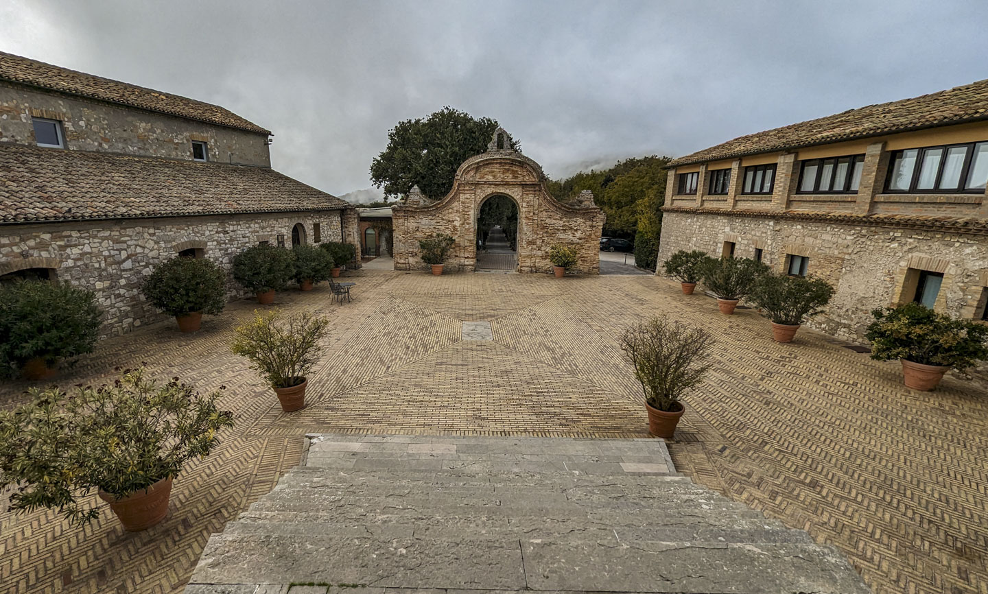
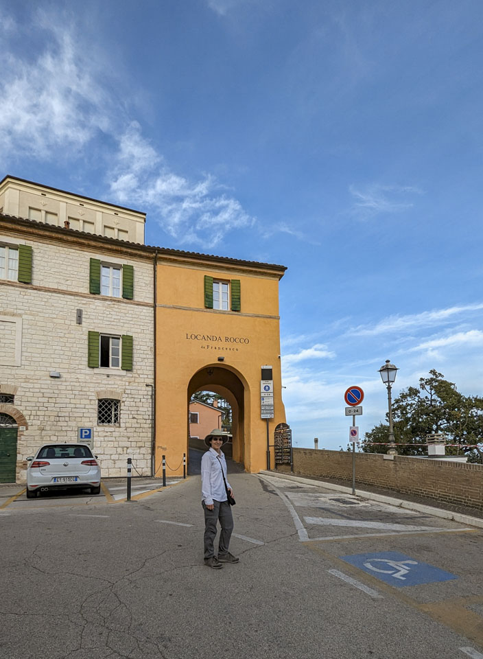
Our return trail led us back to the parking area. There was a charge for parking (€1.30 per hour and you had to guess the number of hours), but it had bathrooms and fresh water for drinking. It is at the entrance to a seasonal hotel, Hotel Monteconero.

The hotel is a former abbey. The entrance in what is probably the original wall still stands, along with a wider spot for modern vehicles to drive through.

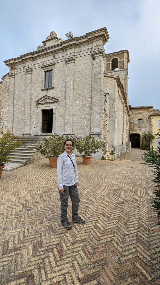
The Church of Saint Peter, visible across the courtyard, was built of Conero white stone. The facade was reconstructed in the 1700s, although the interior dates back to the 1200s or earlier (founded in 1038).

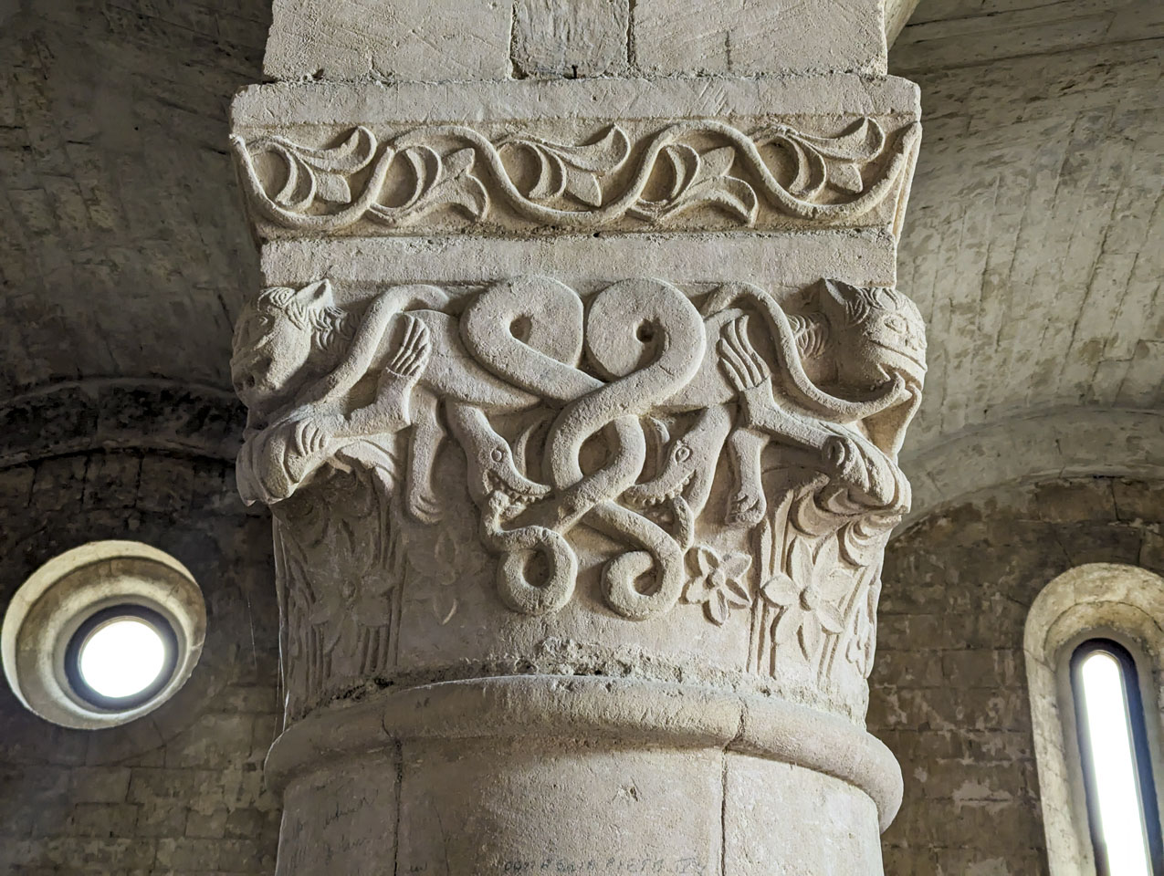
Here we are looking out of the church back to the stone gate.
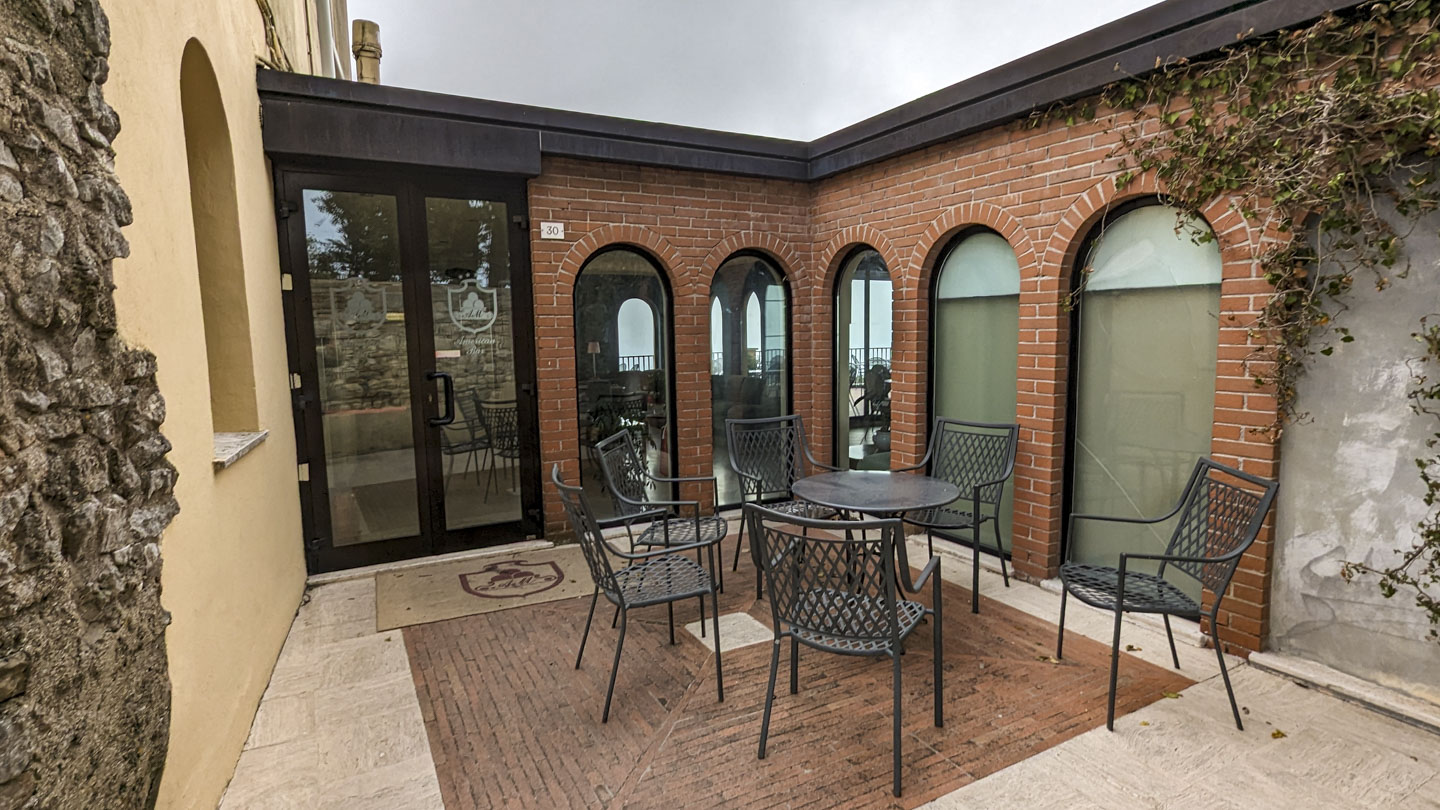
Just off the courtyard is this entrance to an 'American Bar'. A bar in Italy is a café. This one presumably focuses more on alcoholic drinks than espresso.
We had good timing with our visit, because low clouds were moving in as we left. Instead of our great views we might have been looking at fog. While that is atmospheric, we wanted to see what the views were like here.
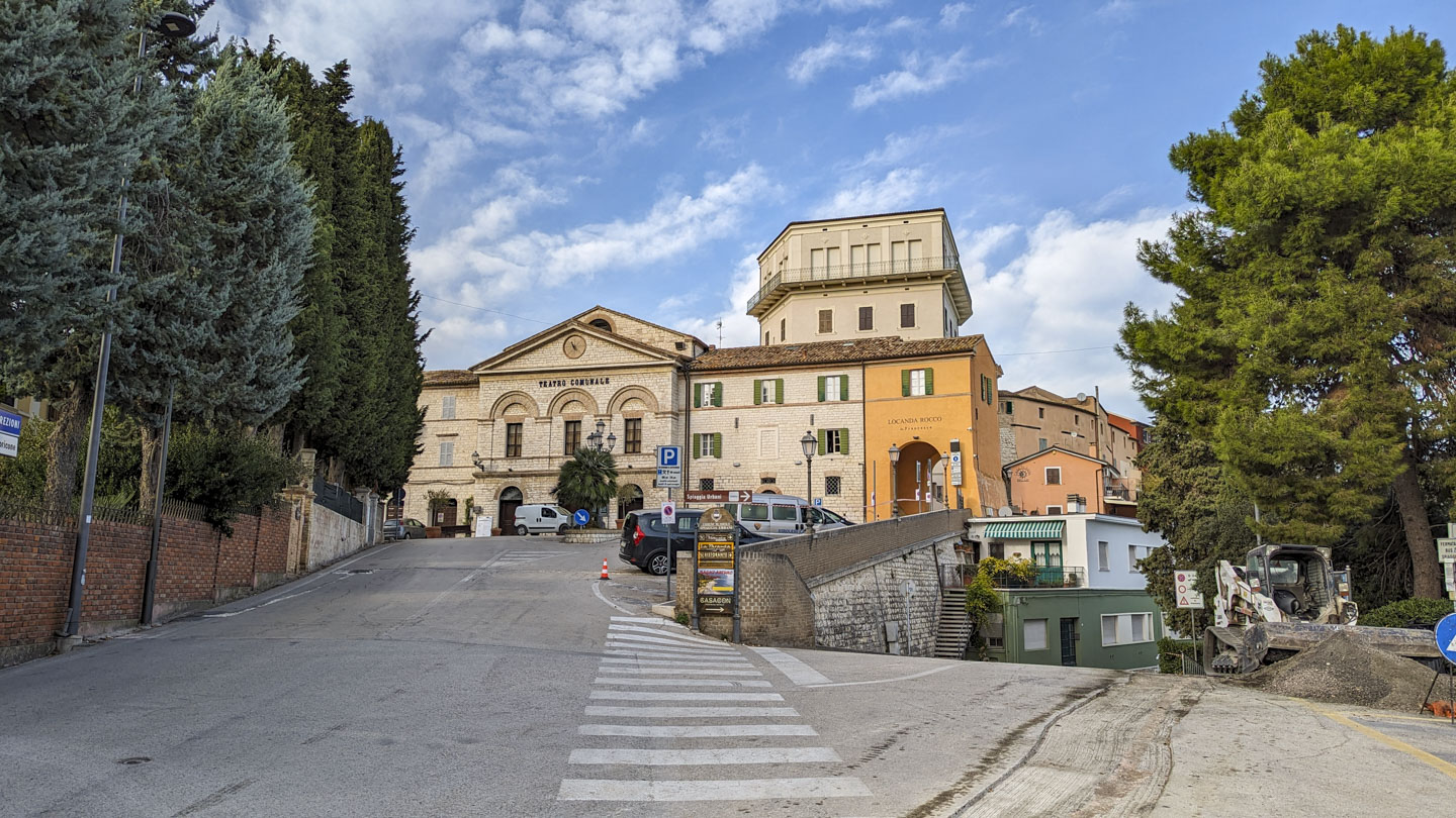
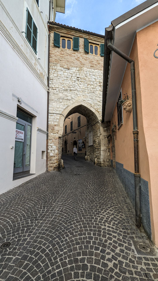
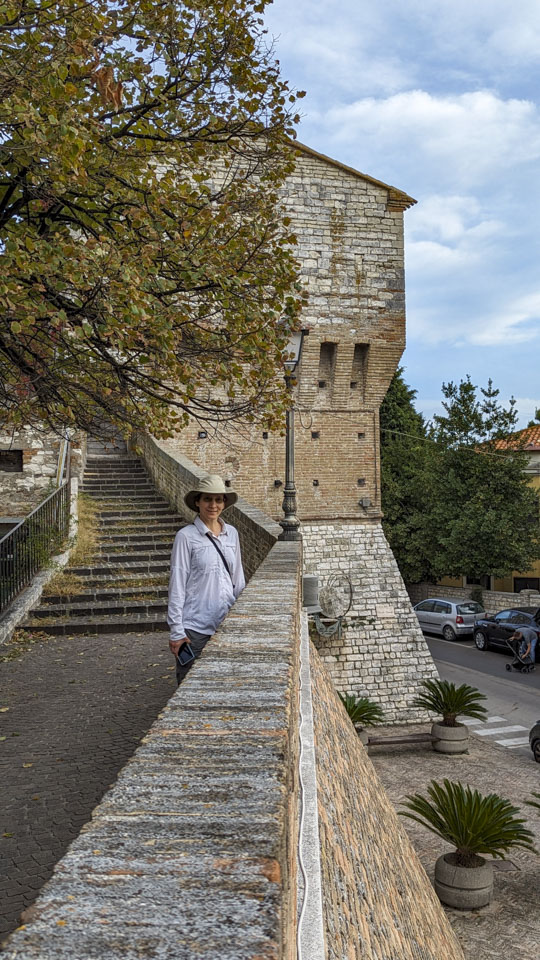
On our way out of the park we saw a pretty city just to the south, so we decided to head that way. This village is called Sirolo, and it is a tourist destination for a good reason. We found a parking area outside of the city center and had a short walk to 'il centro'. Right would have brought us down to the shore. We went left to visit the city itself.
We saw a cute little Italian Wall Lizard, on a wall. It was actually originally on the ground but scurried up the wall as we approached it.

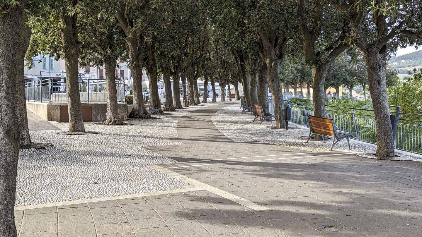
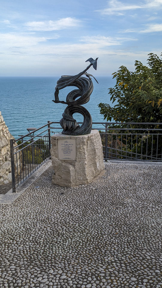
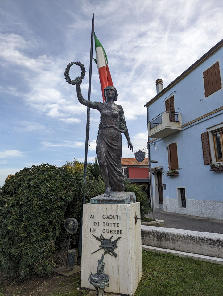
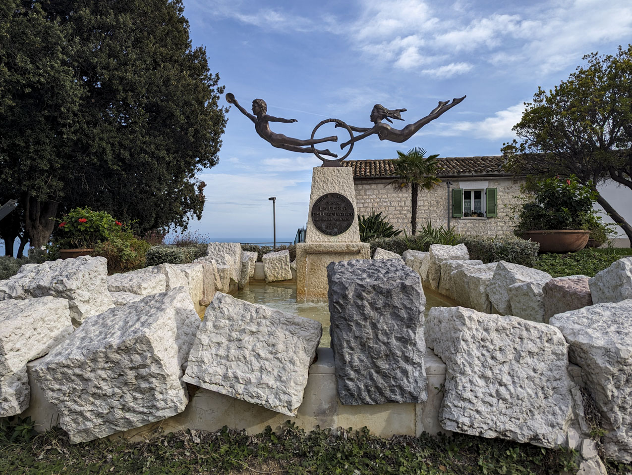
The main piazza is a bit different than in many villages: it is on one side of the downtown instead of in the middle. According to information on the Conero Park website, this is because there was substantial renovation done in the 1400s and at subsequent times. There is a nice park with some sculptures.
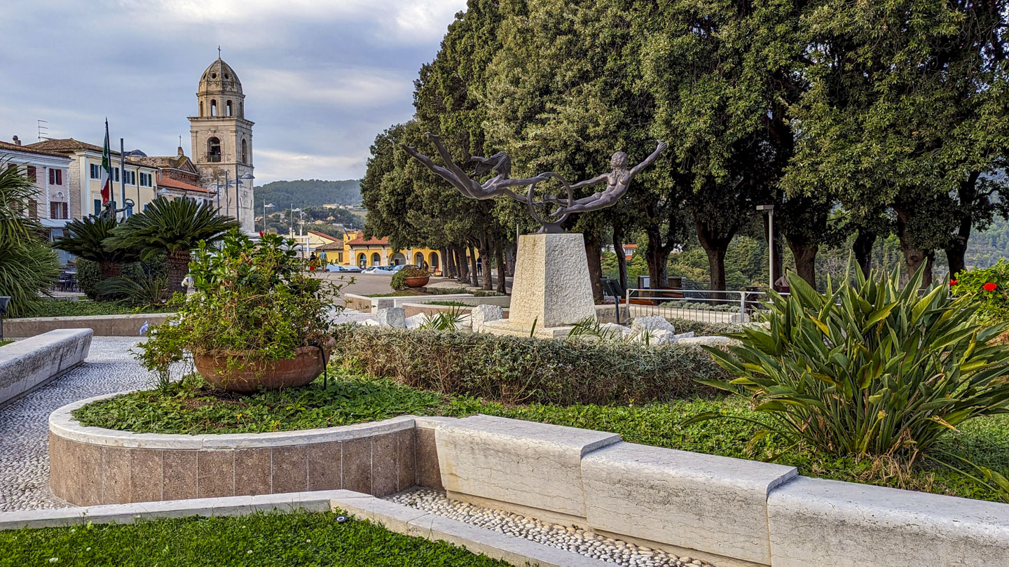
The bell tower of San Nicola stands at one end of the piazza; it was once a defensive tower for the north gate.

Paul took advantage of the views from one end of the park, first with a picture north back towards the park and then with a photo south.
The village might have been renovated in the past but the roads were clearly not widened.

As mild as the weather was while we were there, this tree provides some evidence that it was, indeed, the last day of October when we visited Sirolo.
This link goes to an interactive view of our hike.
This link goes to a map showing where Conero and Sirolo are in relation to Fano.
Updated April 2026