Rock-Village.com

Menu
Rock Village Website banner picture, a rocky area with cairns

Page 5: Photo Tour

August 2009

Continued from Page 4 ...

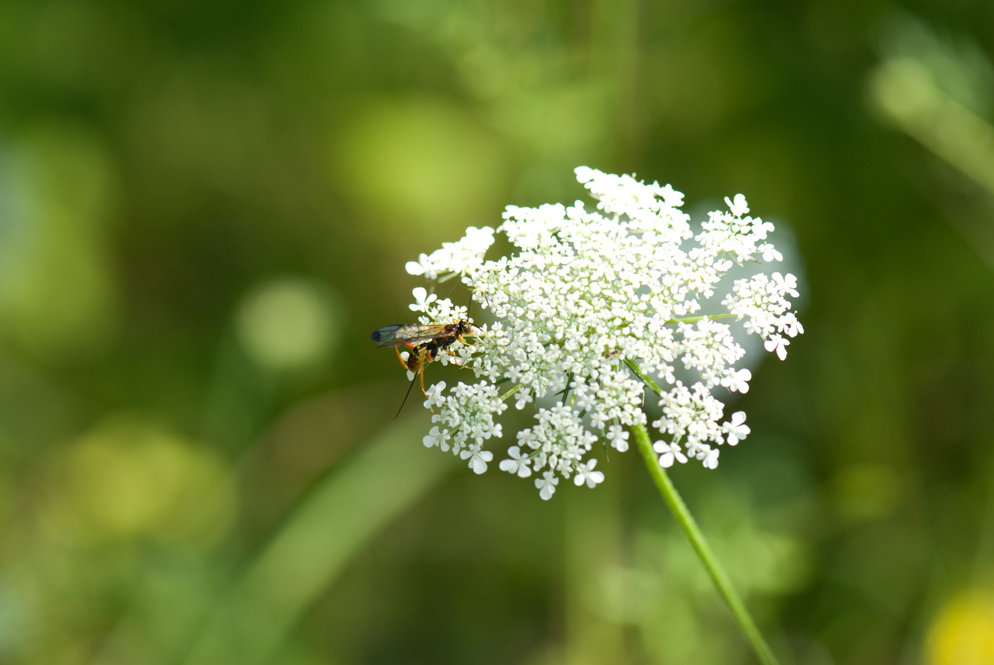
On Thursday Paul and I did a Vermont Photo Tour. We wanted to capture the look and feel of Vermont. The area certainly had it in spades!

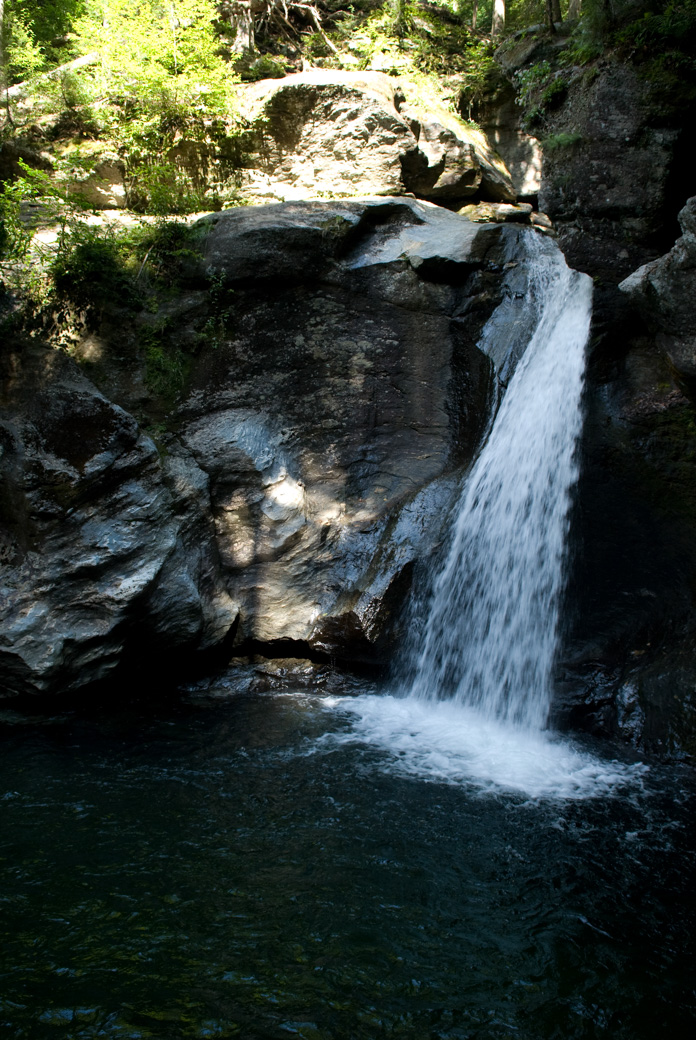
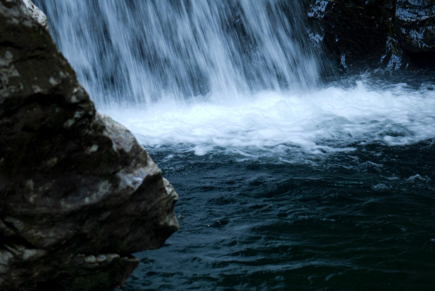
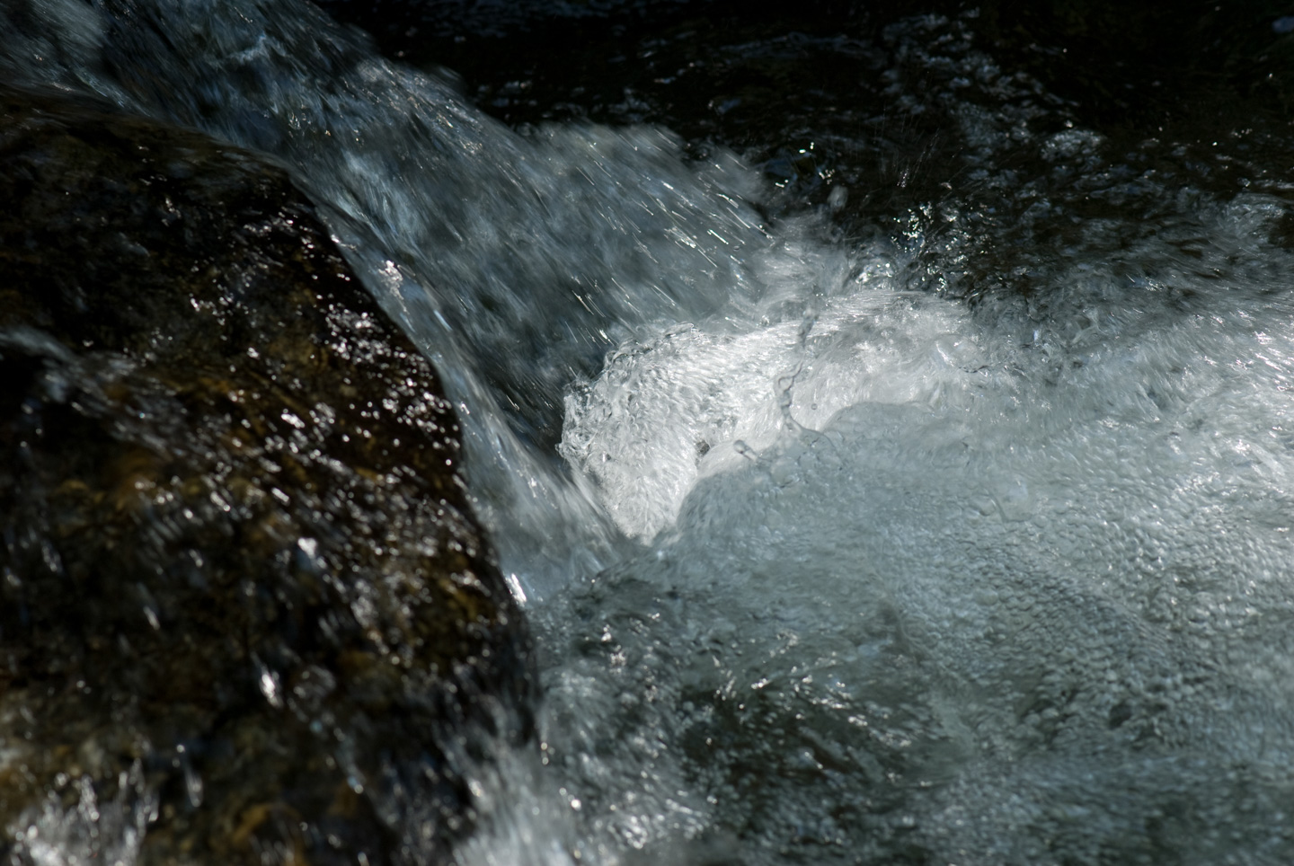
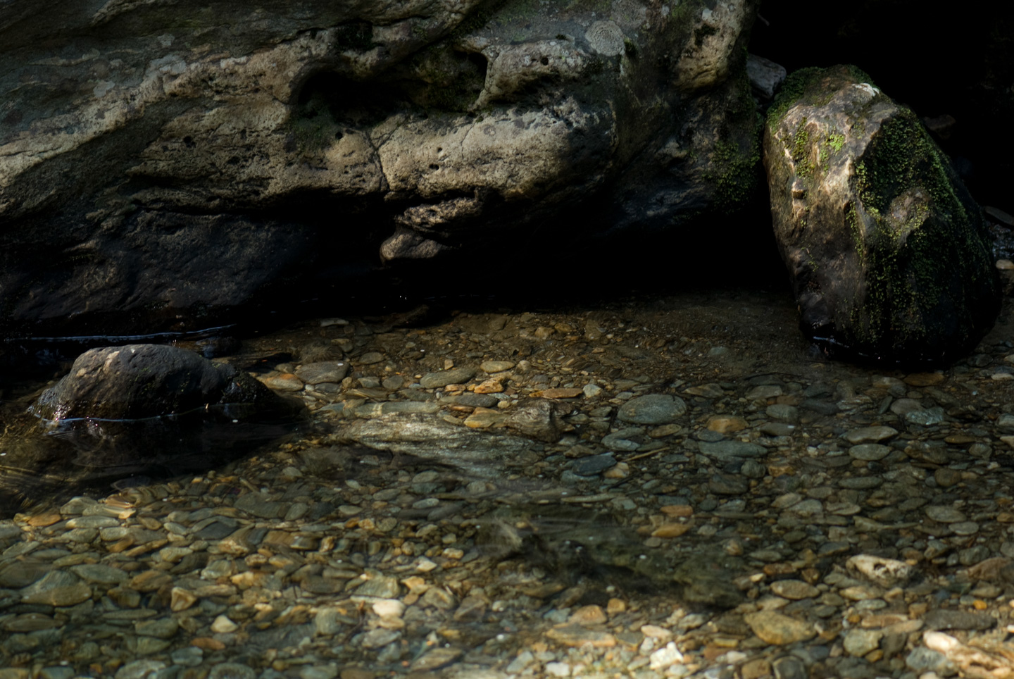
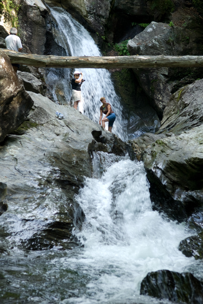
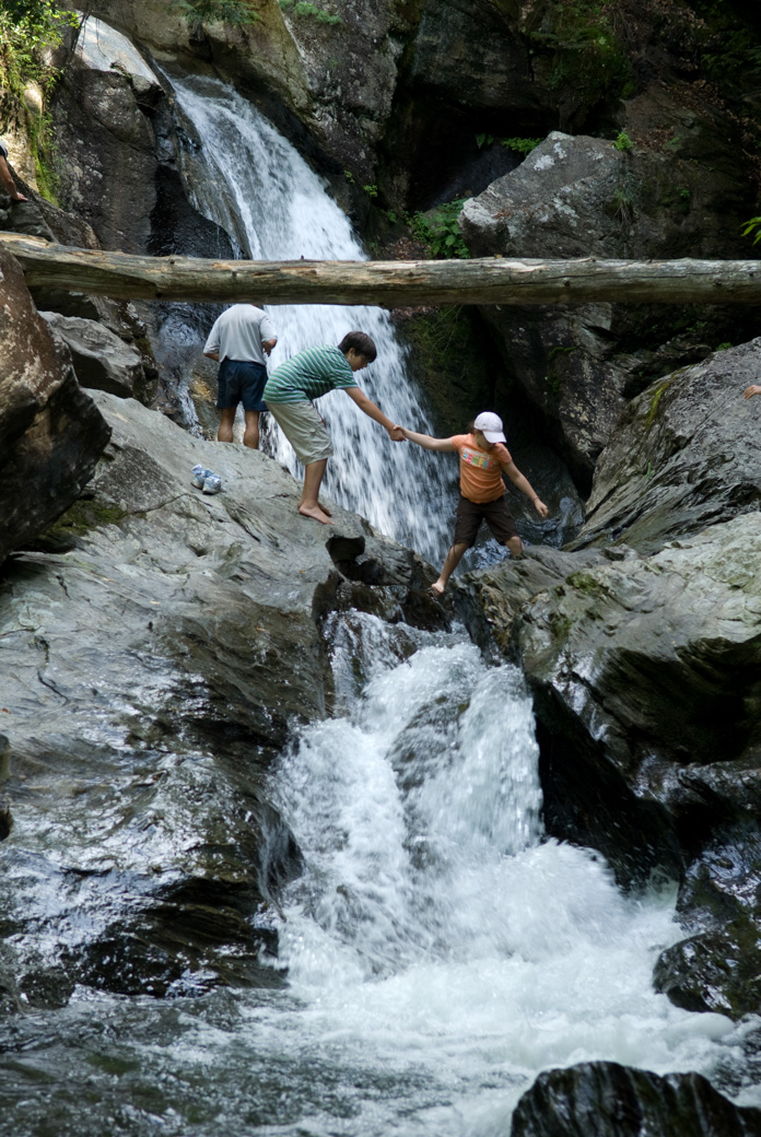
Our first stop was the Mansfield State Forest waterfall, which is where we stopped as a group after the hike. We got there before the crowds.

Wooden trail sign reading Fragile Environment Stay on Trail attached to a tree in the forest

Woman standing on wet rocks beside a clear pool and waterfall with a camera in hand

Man crouching on a broad rock using a camera near the waterfall

Waterfall and dark pool in Mansfield State Forest

Single waterfall dropping into a dark pool between smooth rock walls

Rushing water spilling through a rocky gap into the pool below

Close view of the base of the waterfall splashing into the pool

Close-up of foaming water tumbling over sunlit rocks

Shallow rocky stream with sunlight on the water and a large drift log on the bank

Clear shallow pool beside a rock wall with rounded stones visible under the water

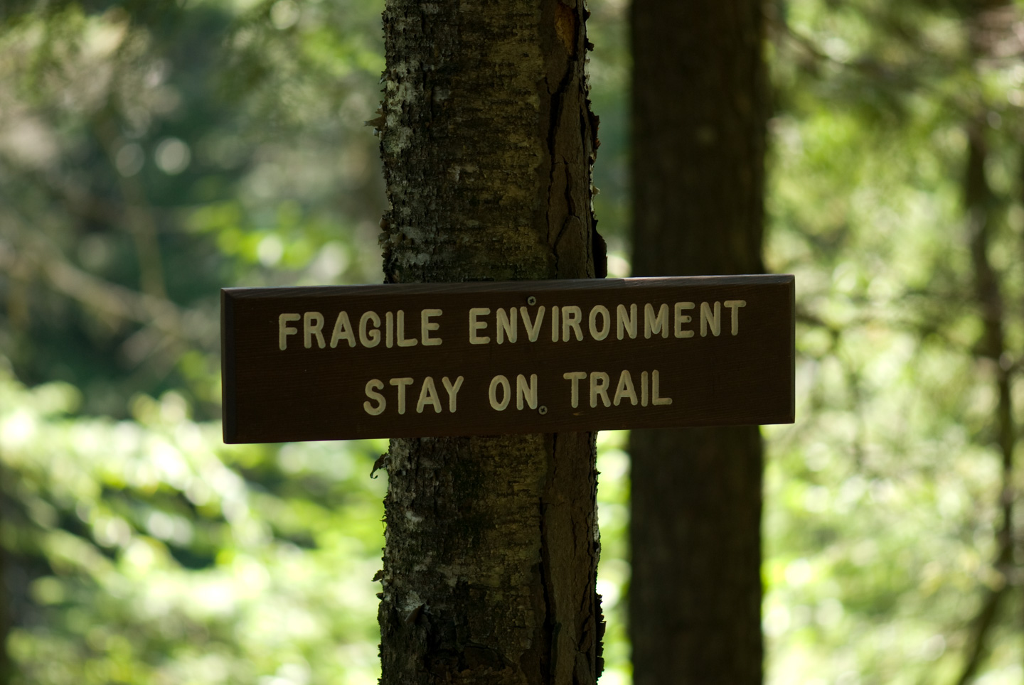
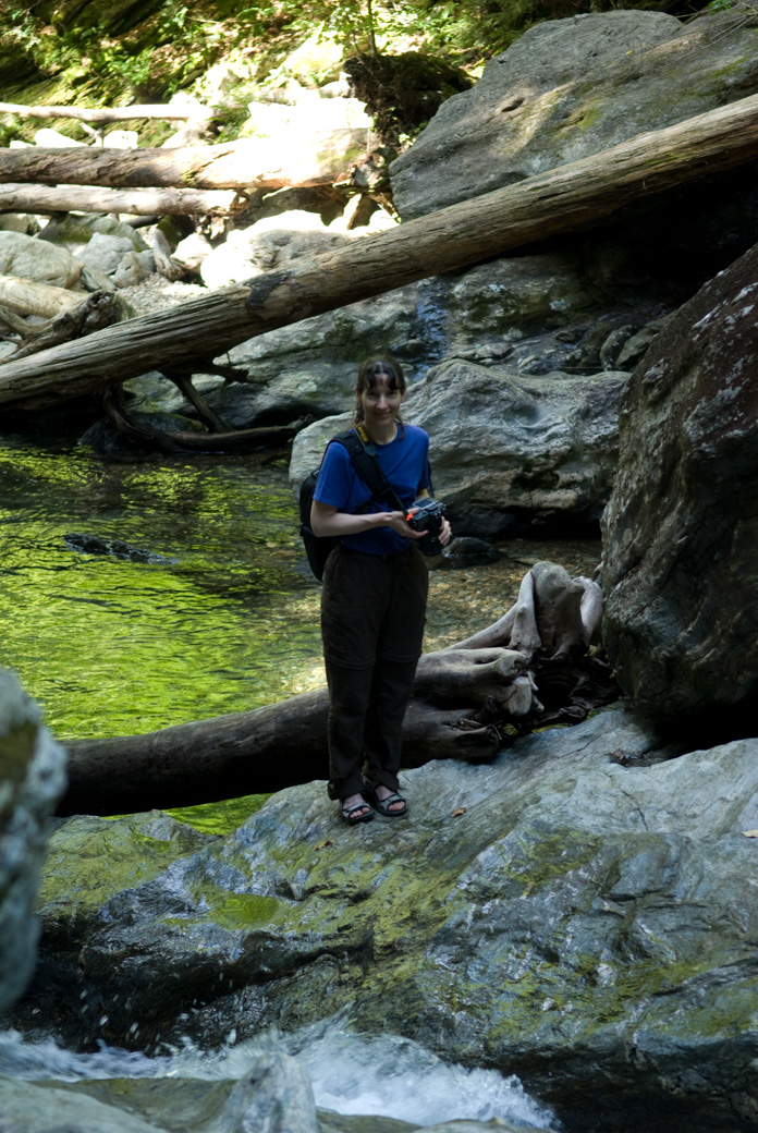
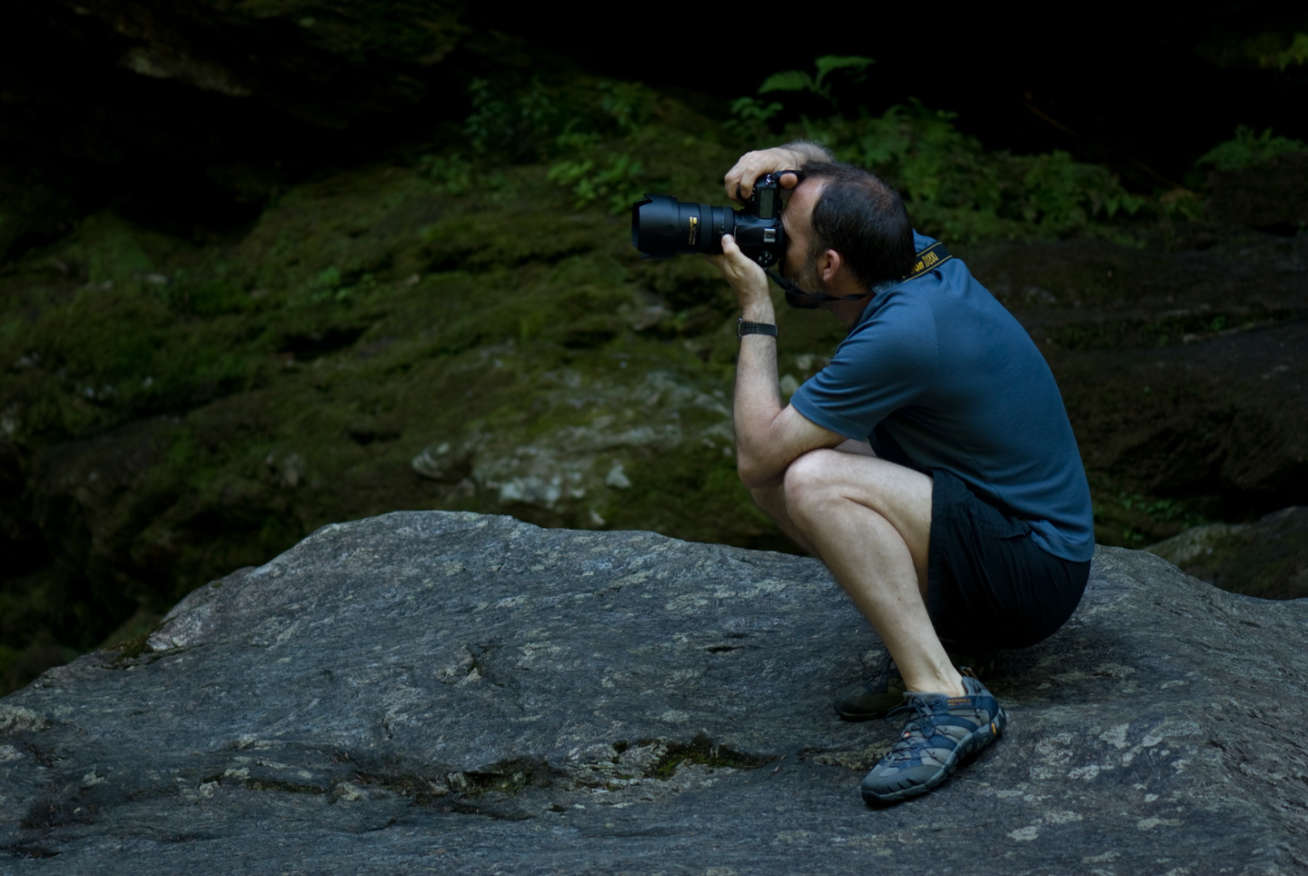
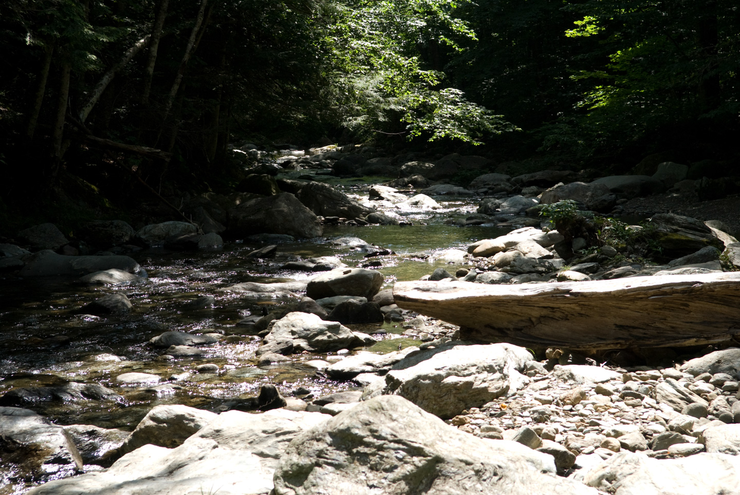
Some people came after a bit to explore the area.

People exploring the rocks around the waterfall, with one woman taking a picture

Two people helping each other across slippery rocks in front of the waterfall

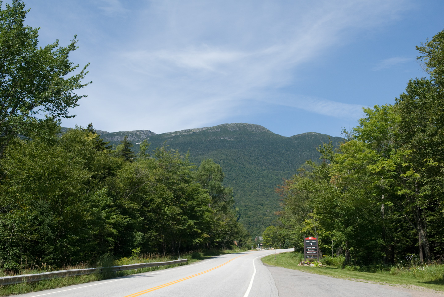
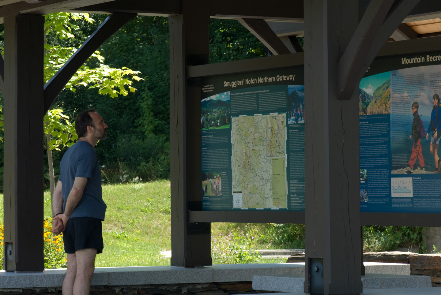
Then we continued down Rte 108. On the other side of Smugglers' Notch was a rest area with some information on the area. Stowe Ski Area is on the Stowe side of the mountain, and Smugglers' Notch ski area is on the Jeffersonville side of the notch.

Road curving toward forested mountains near Smugglers' Notch with a roadside sign ahead

Man reading an interpretive display at the Smugglers' Notch Northern Gateway rest area

Small insect perched on a white Queen Anne's lace flower against a soft green background

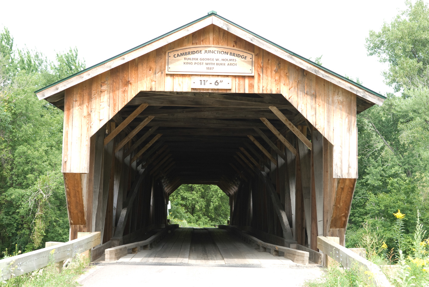
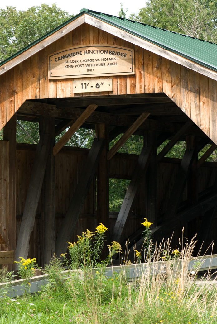
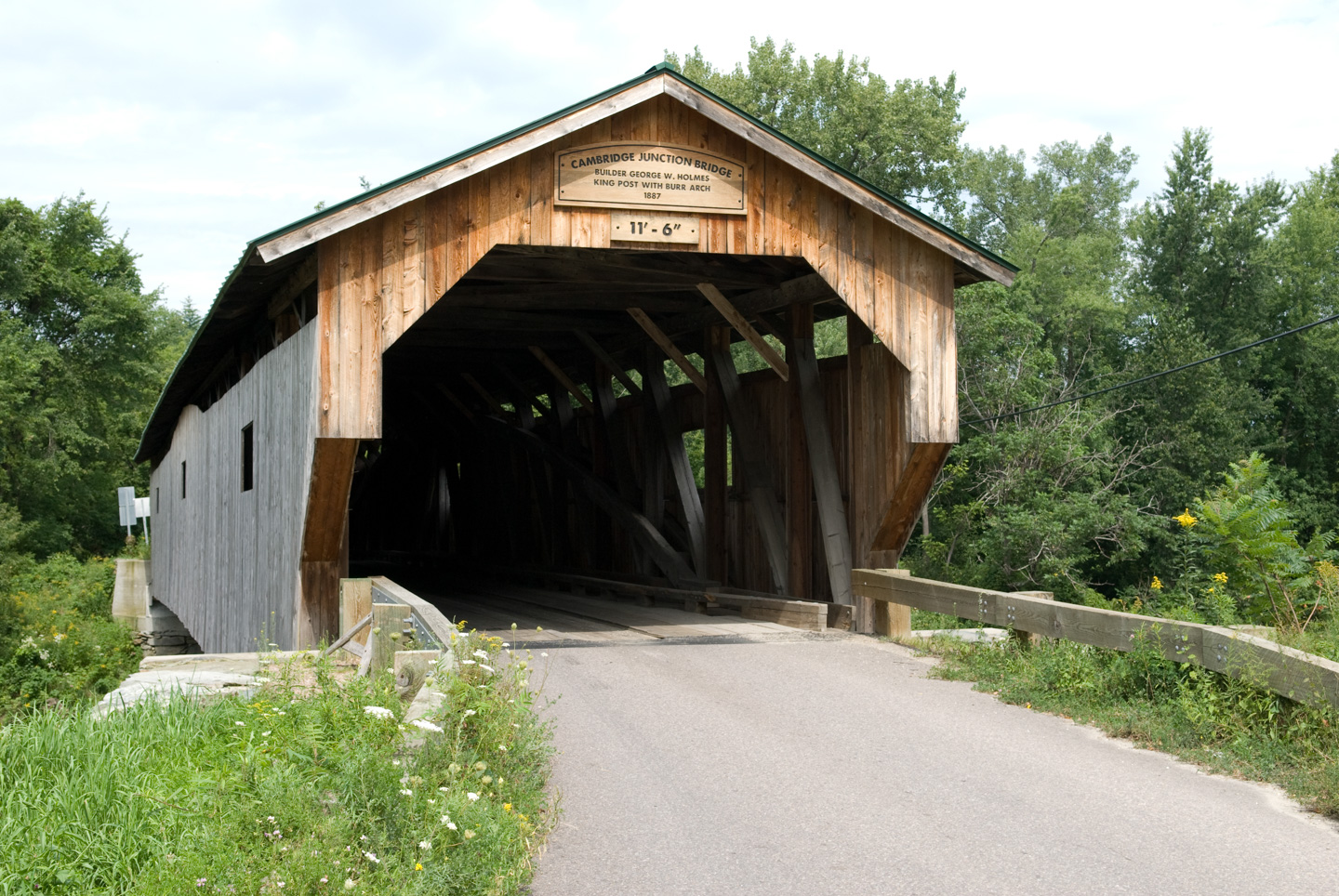
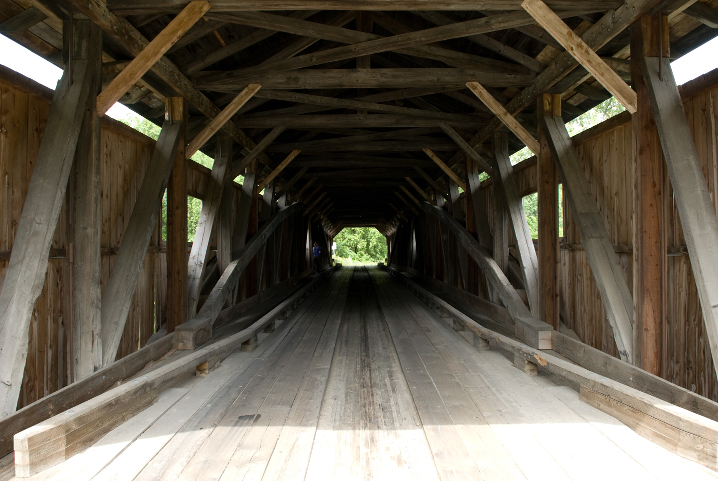
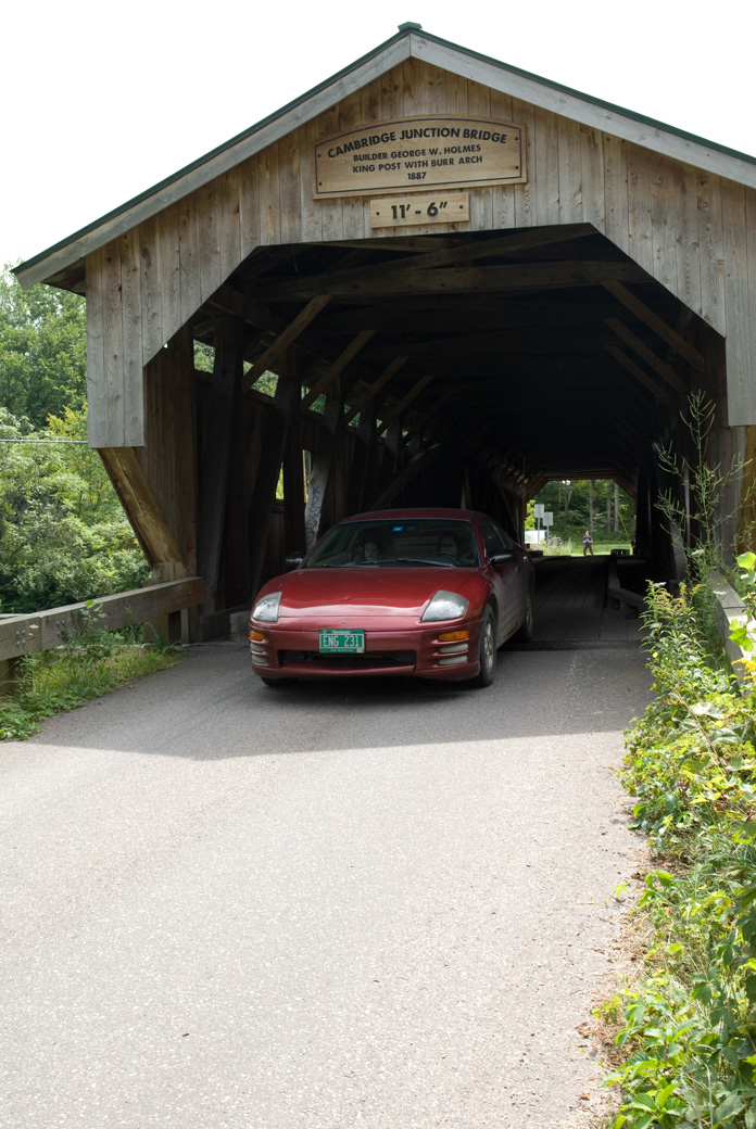
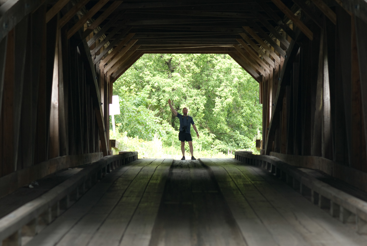
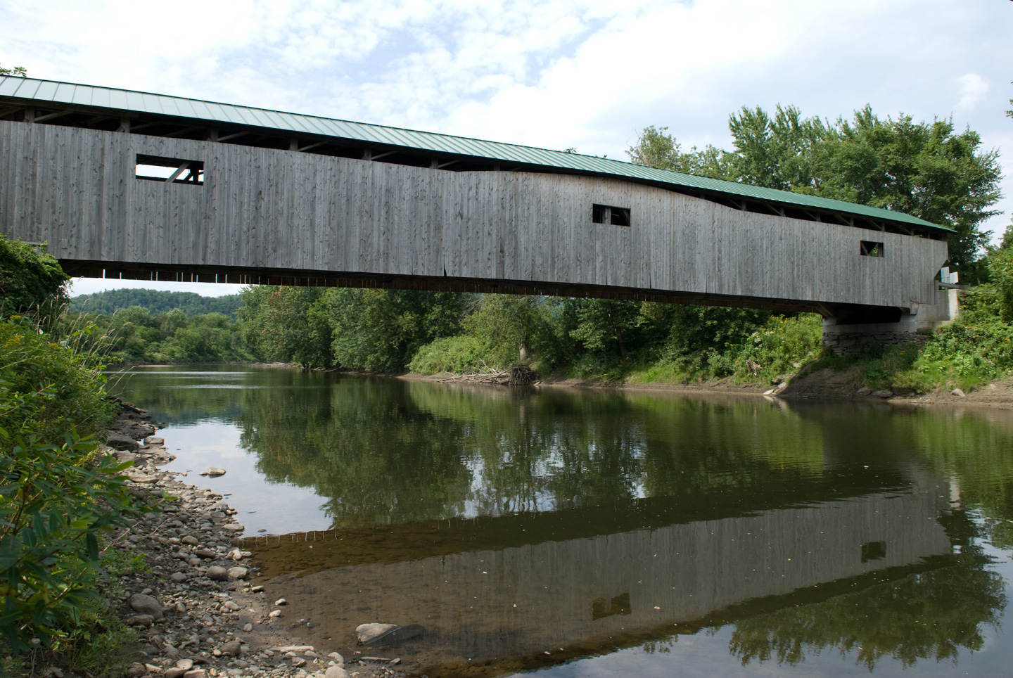
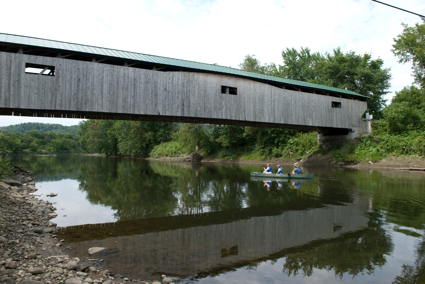
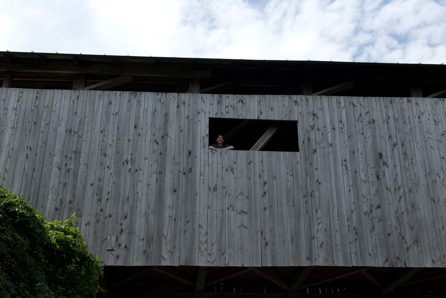
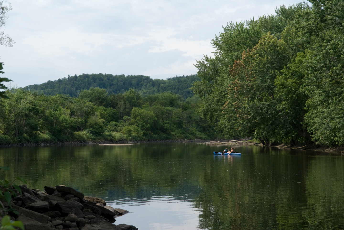
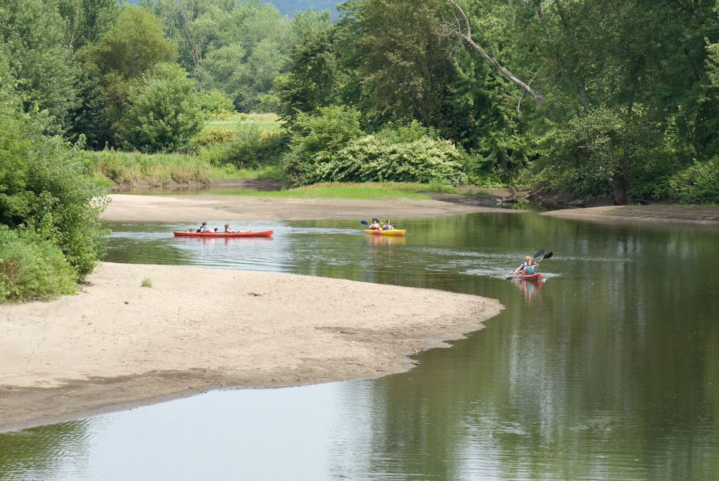
We stopped for lunch in Jeffersonville. We ate at 158 Main. While there, we picked up a tourist map of Jeffersonville and Morrisville. This goes along with the tourist map we picked up of Stowe. These maps are surprisingly good. They highlight advertisers, of course, but if you learn to read them they have a lot of other information on them as well. We decided to do a loop and drive back through Morrisville and then down again on Rte 100 back to Stowe. In Jeffersonville was a nice covered bridge over Lamoille River.

Front view of the Cambridge Junction covered bridge

Close view of the Cambridge Junction Bridge sign and upper structure with wildflowers in front

Three-quarter view of the Cambridge Junction covered bridge from the road

Interior view straight through the wooden trusses of the covered bridge

Red car driving out of the covered bridge toward the camera

Man waving at the far end of the covered bridge, seen through the dark interior

Side view of the covered bridge reflected in the calm river below

Canoe with three people passing beneath the covered bridge on the river

Person leaning out of a rectangular opening in the side of the covered bridge

Two people floating on a blue raft on a calm bend of the river

Three kayaks moving along the river past a broad sandbar

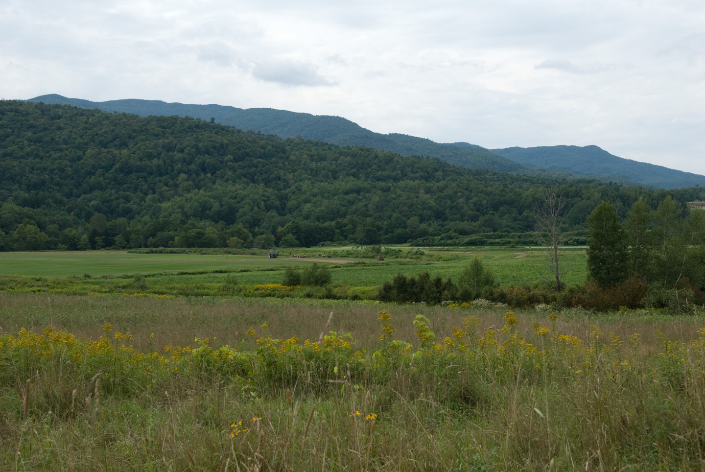
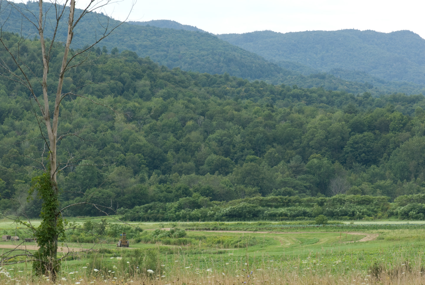
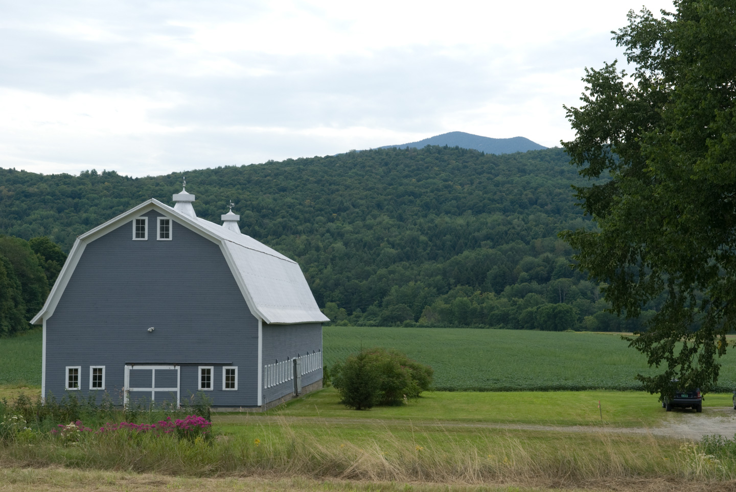
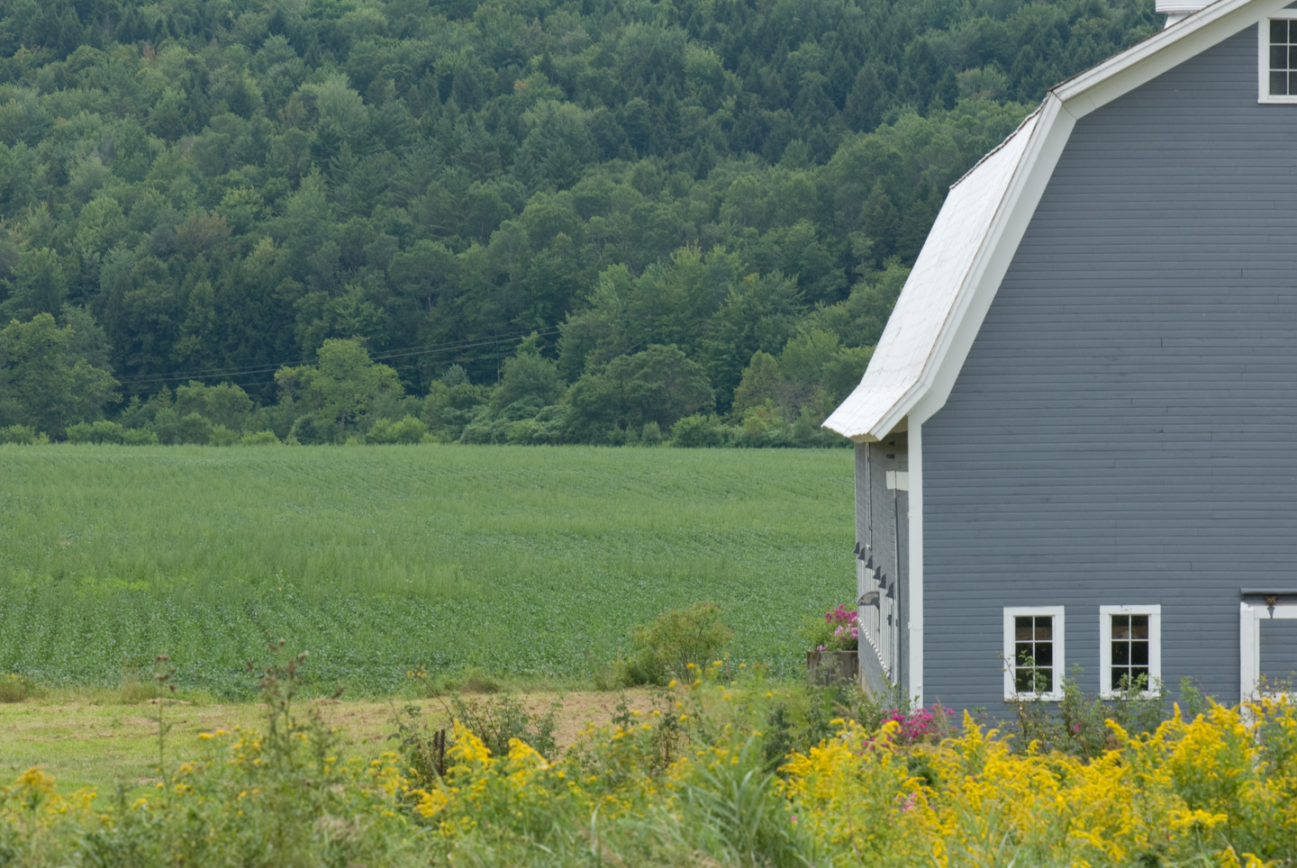
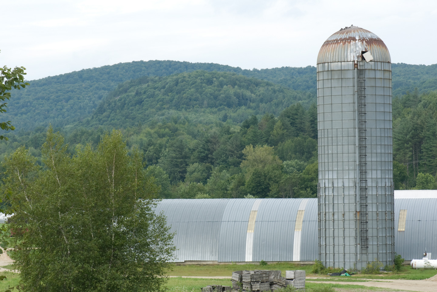
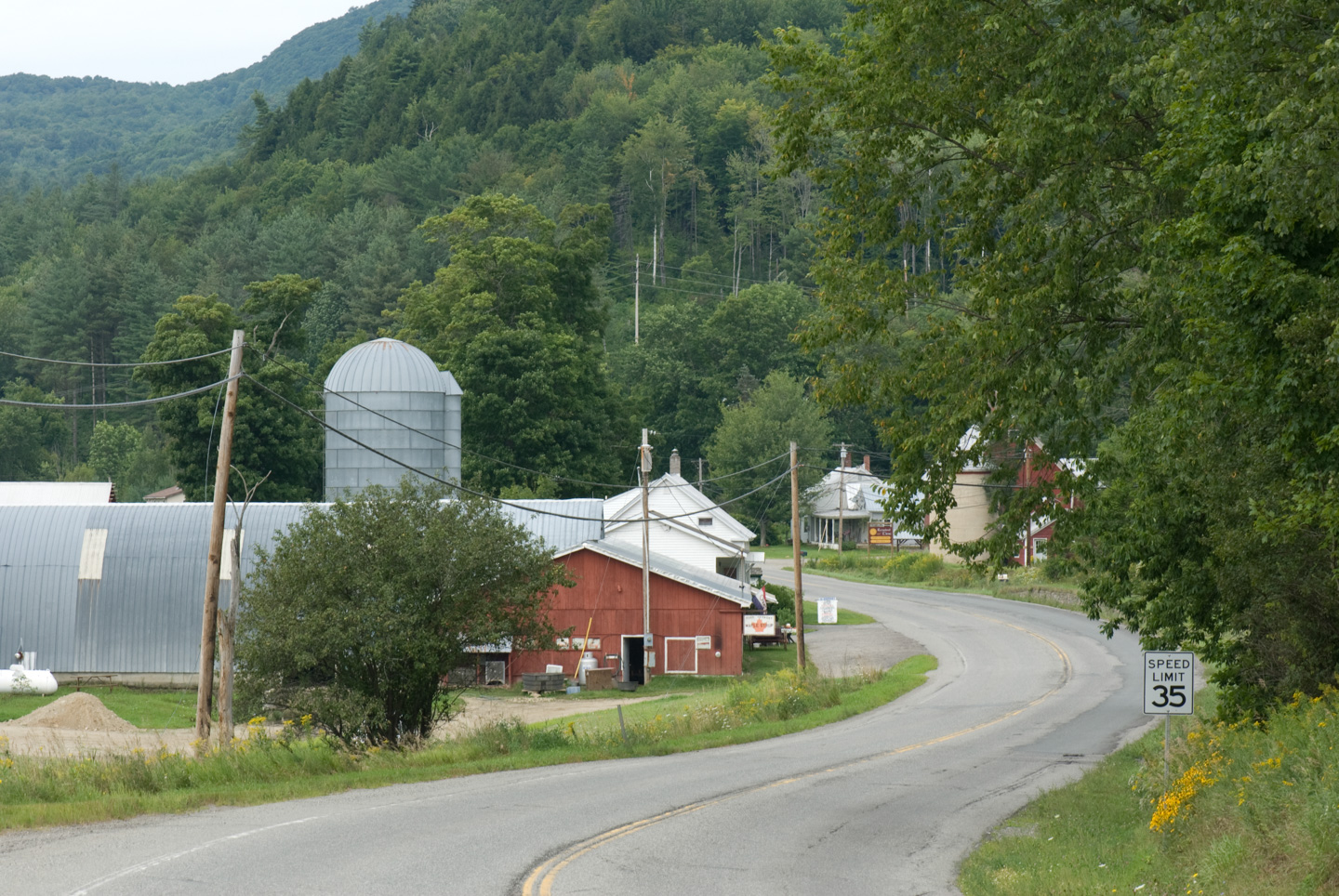
On the road to Morrisville was a working farm. It was very 'Vermont'.

Green farm fields with yellow wildflowers in front and layered mountains beyond

Field and wooded hills with a bare tree trunk in the foreground

Gray barn beside open fields with forested mountains rising behind it

Close view of the gray barn beside green fields and yellow wildflowers

Tall metal silo and farm buildings with wooded hills in the background

Curving rural road passing red and white farm buildings with mountains behind them

On to

Updated April 2026