Camping 2011 Page 2
September 2011
On Wednesday we did a very nice loop hike over on the Northwest side of Mount Adams and Mount Madison. There is a network of trails there, as you can see on this map. We took the Howker Ridge to Kelton to Inlook to Randolph Path loop. On the map this starts from the 'H' in Gorham Hill Road - go left, take your 2nd right & loop around. It's about 4-miles, with a 1477' ascent, so a nice hike after the big one the previous day.
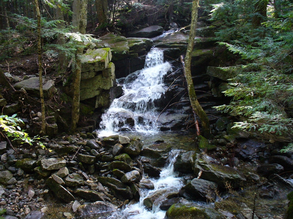
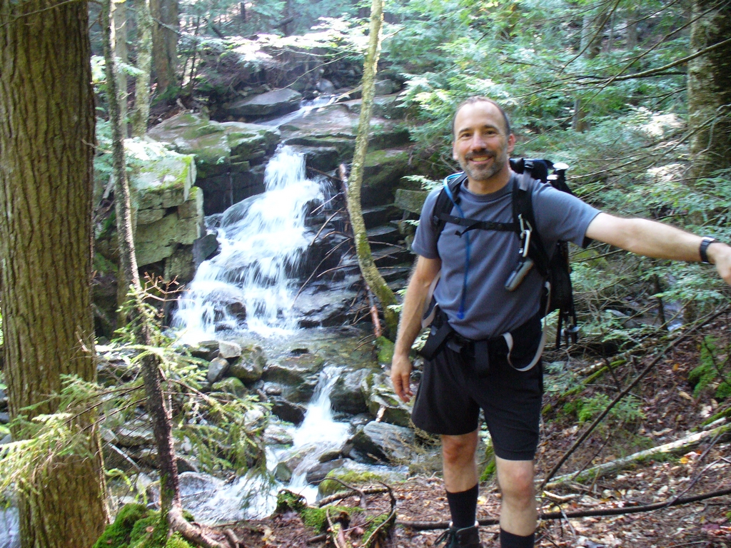
On Howker Ridge Trail we started out by a river that had some falls. The water was flowing pretty strong, likely because of the rainfall from Irene a few weeks earlier.
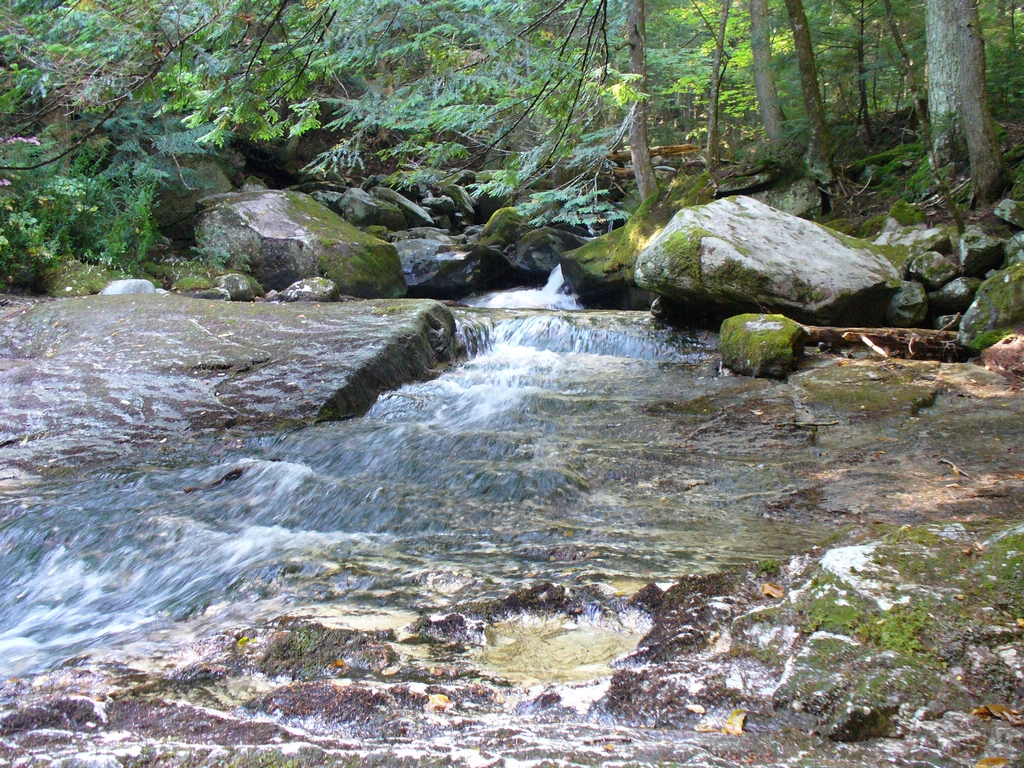
Stairs Fall:
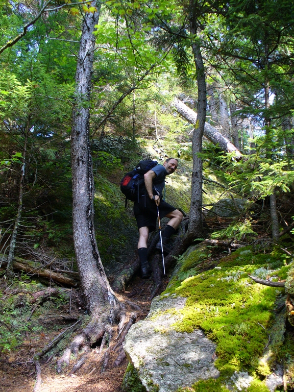
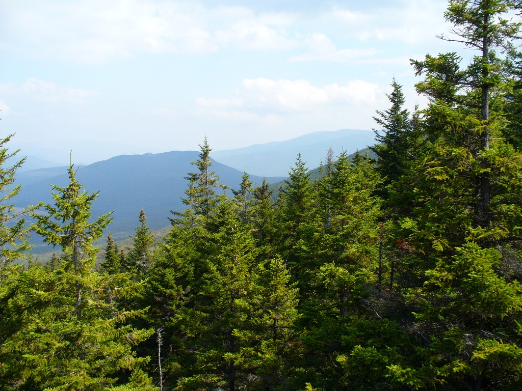
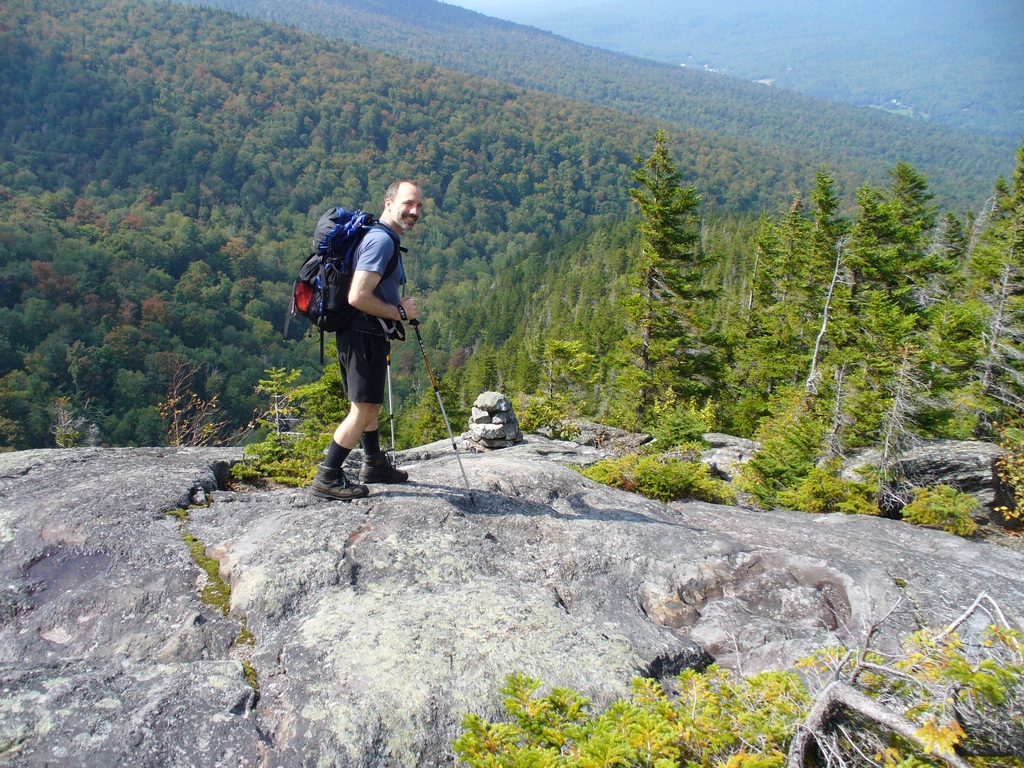
The path had some fairly steep sections, but was really very nice. This is coming up on a nice viewpoint, looking out towards Gorham and Randolph.
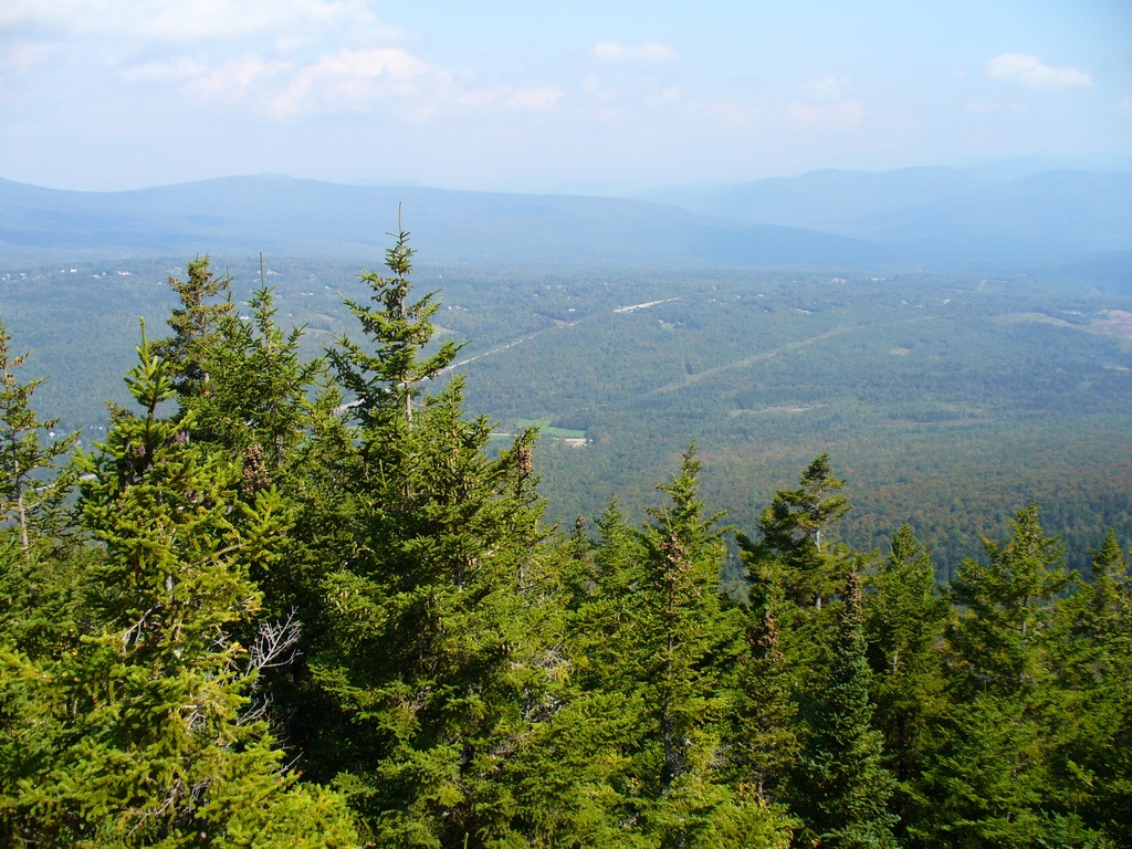
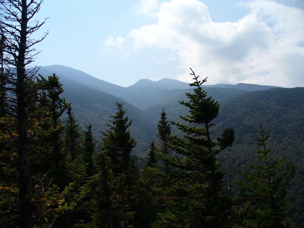
Our hike up the Airline was the 2nd ridge in this picture; the alpine zone is just off the picture to the left:
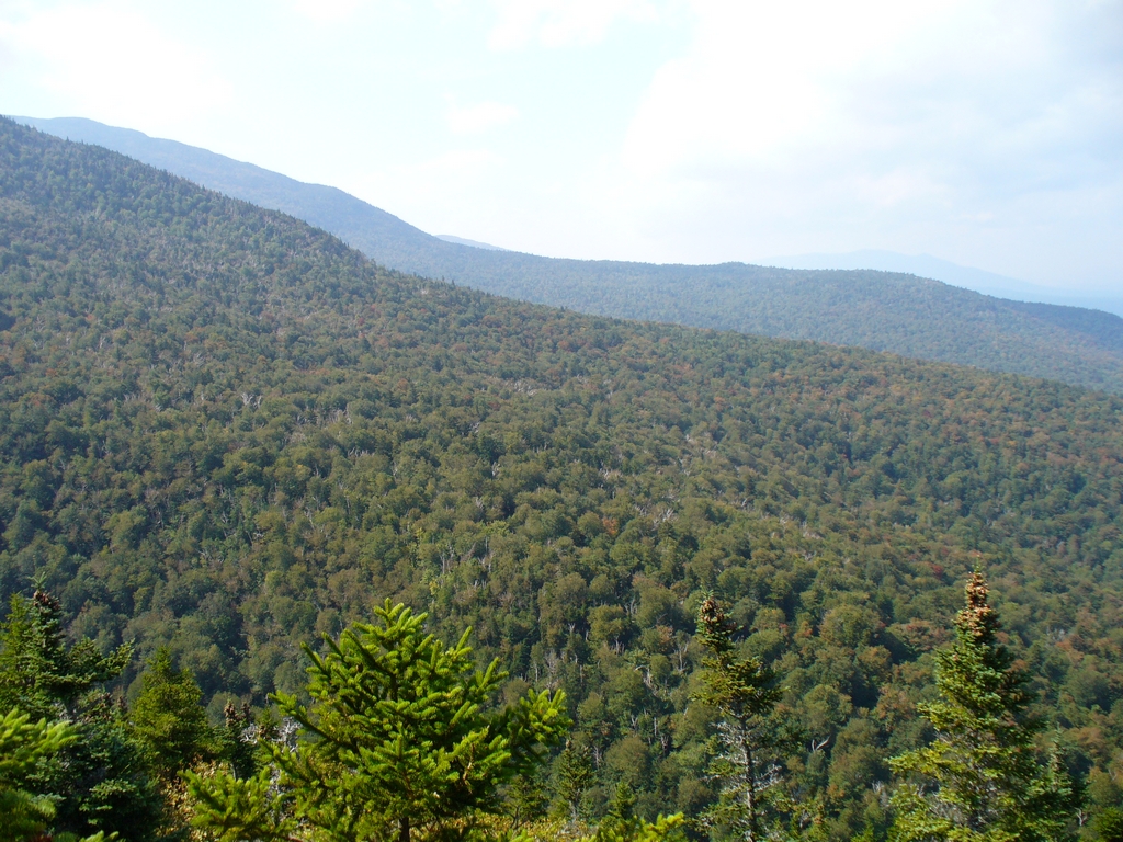
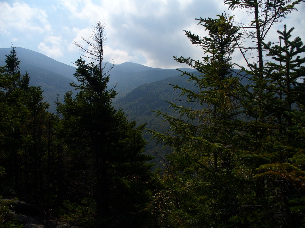
From the Inlook trail you look, not surprisingly, in towards Mount Madison and Mount Adams. Mount Madison, on the left, looks taller than Mount Adams because it is closer. Next is John Quincy Adams and then Adams itself.
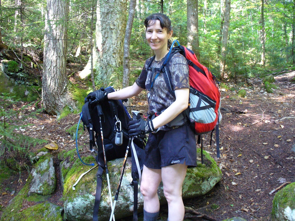
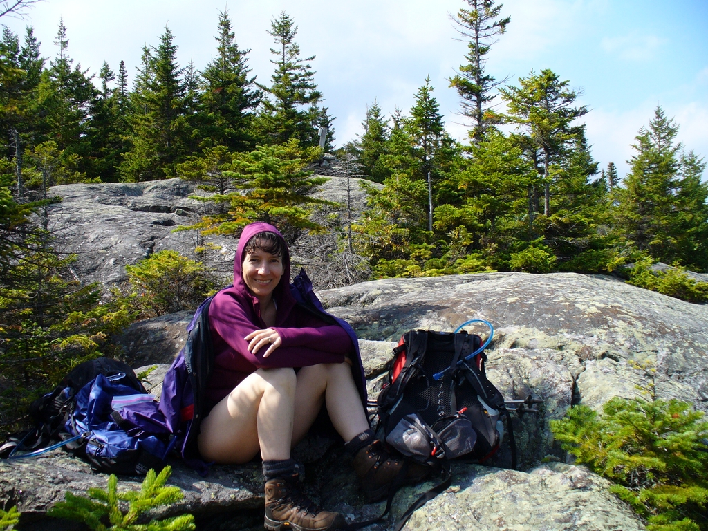
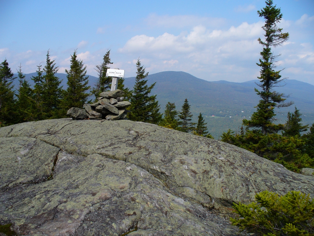
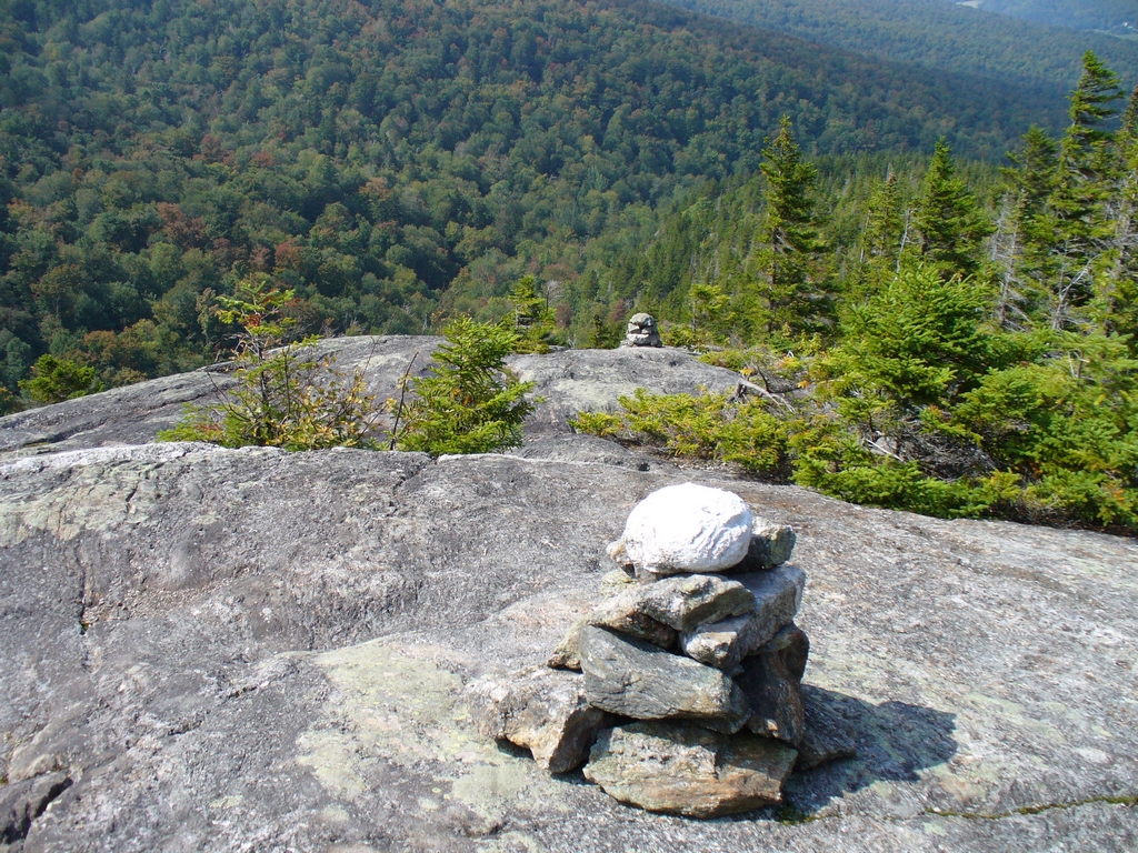
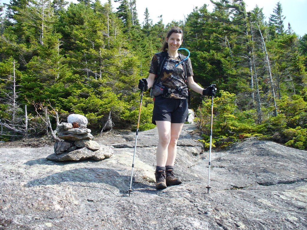
We had lunch at 'Dome Rock.' Anne gets chilly after she eats, so she put on her sweatshirt.
This is Pine Mountain, which is a small mountain that has a great view. We hiked it a couple years ago.
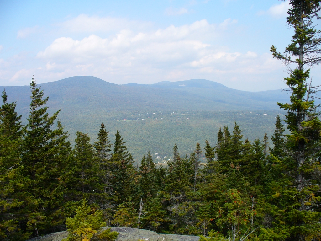
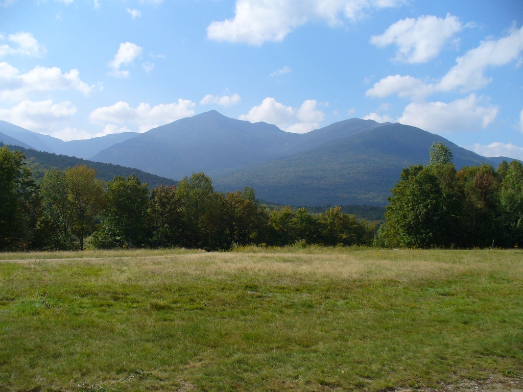
A nice view back at the mountains:
Our path down:
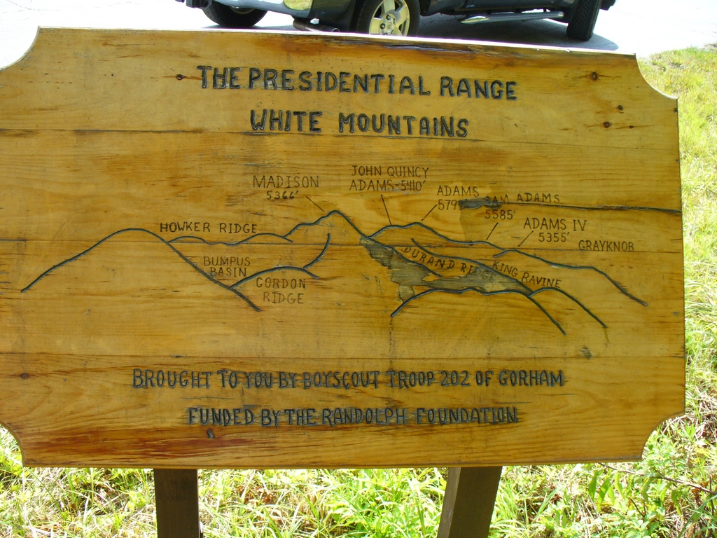
Back down, on Rte 2, a Boyscout troop made a sign telling viewers what they see.
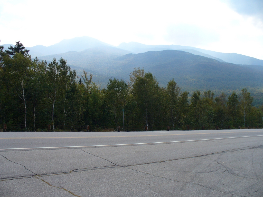
From Rte 16, on the East side of the Presidential Mountains, there is a nice view of Mount Adams. Mount Adams is in the center of this picture, with Mount Madison on the right. You get a better idea of their respective heights from this angle. We hiked Mount Madison, on a trail that leaves from the Dolly Copp Campground, back in 2007.
Thursday was a bit of rain (although not as much as we expected), so we did some driving that day. We explored the Wild River area, which follows Rte 113 and goes between Maine and New Hampshire. Unfortunately Wild River Campground was closed, due to damage from Irene. Basin Campground, however, was open and looks very promising. And we never knew how much corn they grow in the Fryeburg area of Maine.
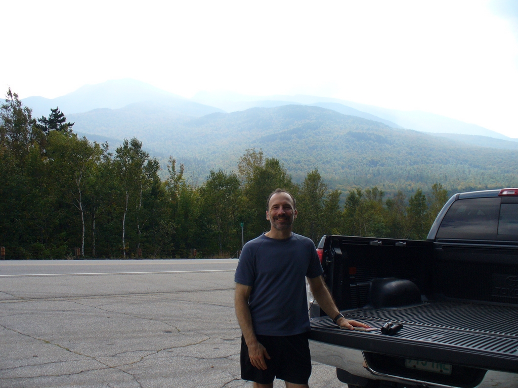
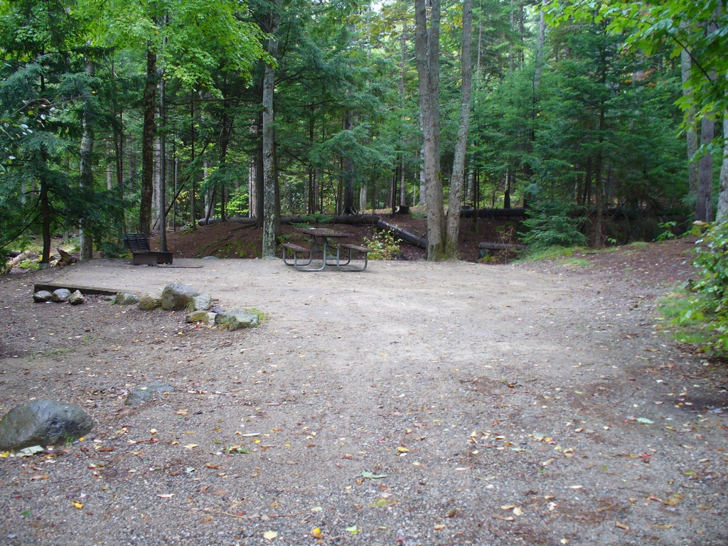
Finally, a parting shot when leaving our campsite:
Updated April 2026