Parks and Preserves Continued
May 2025
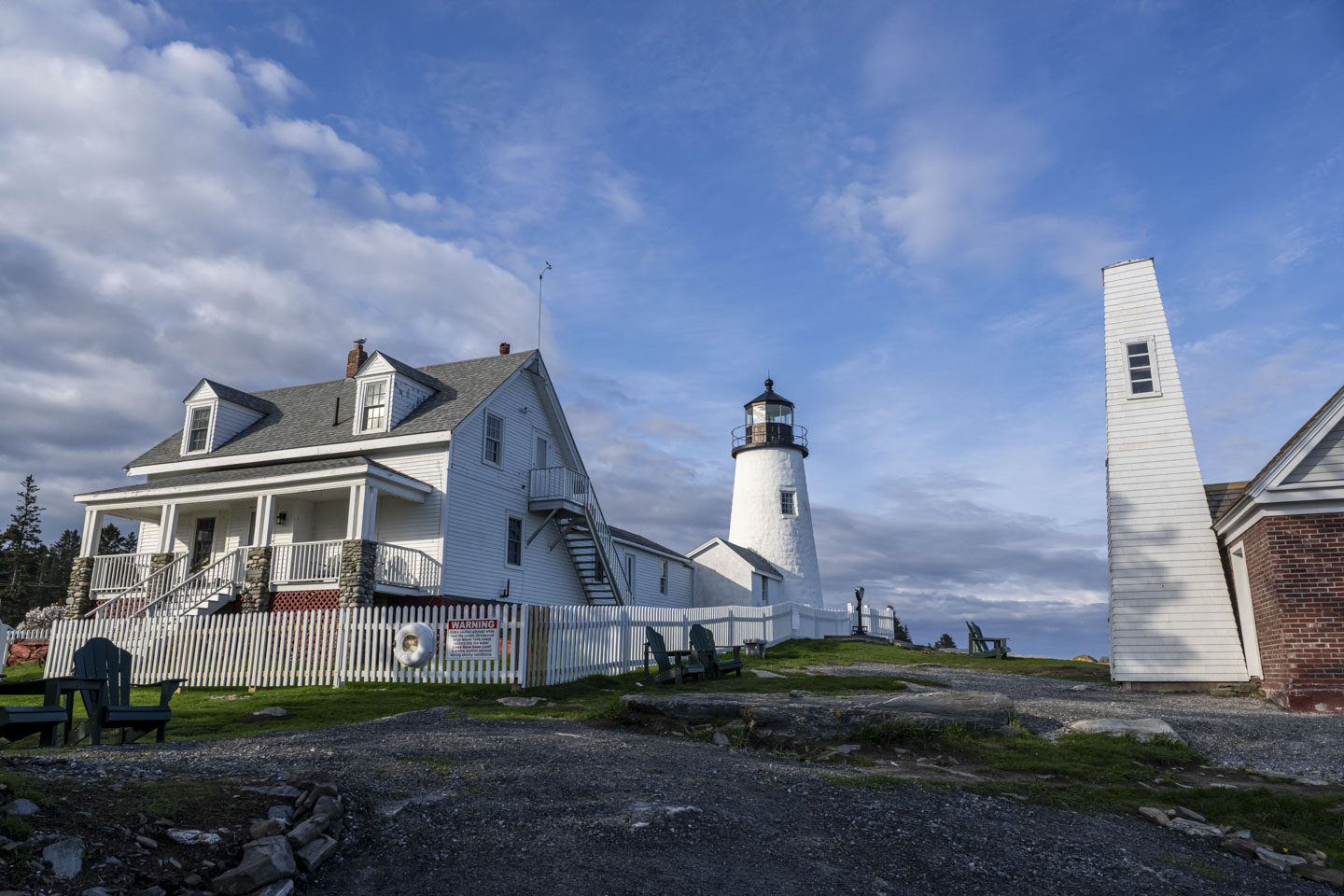
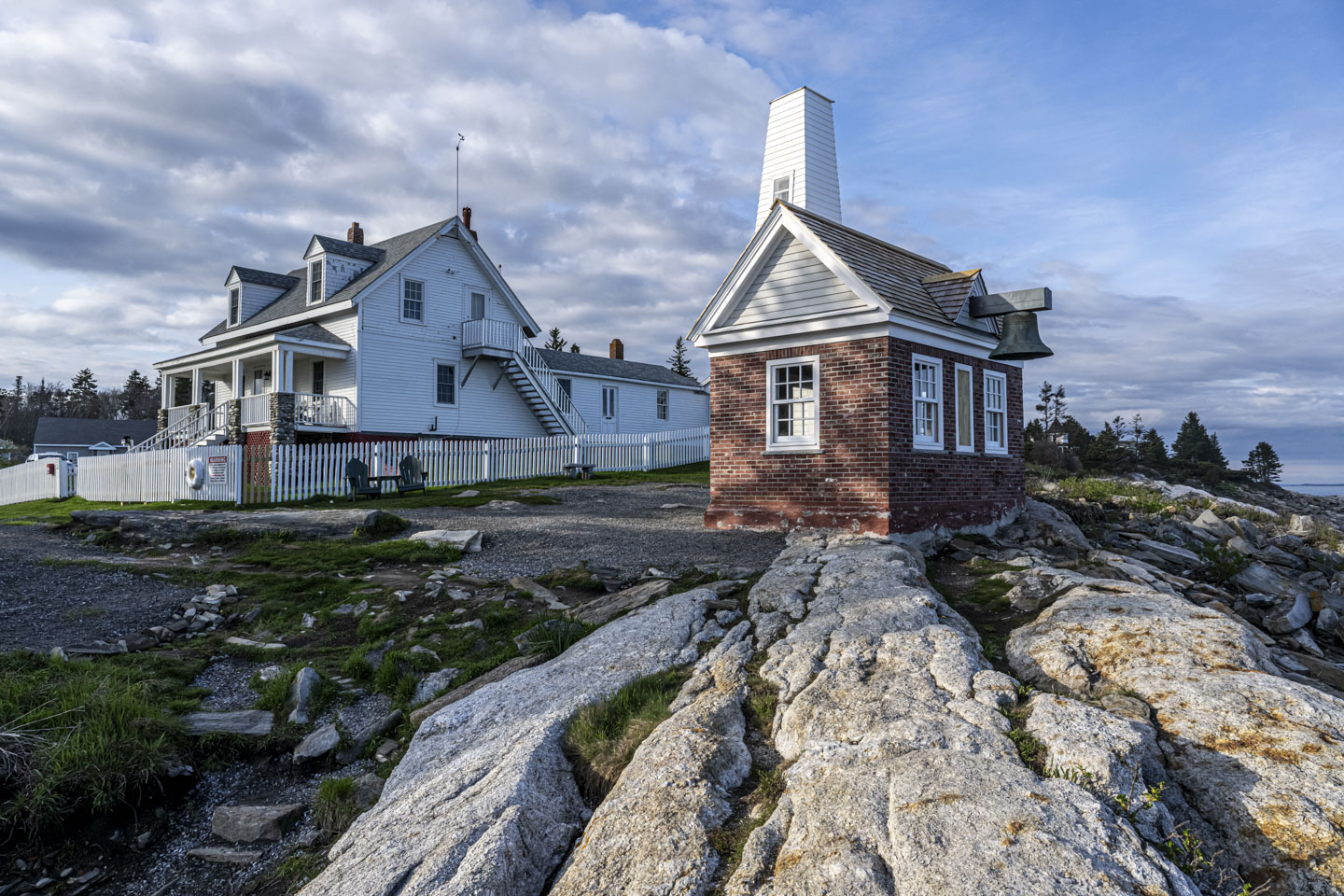
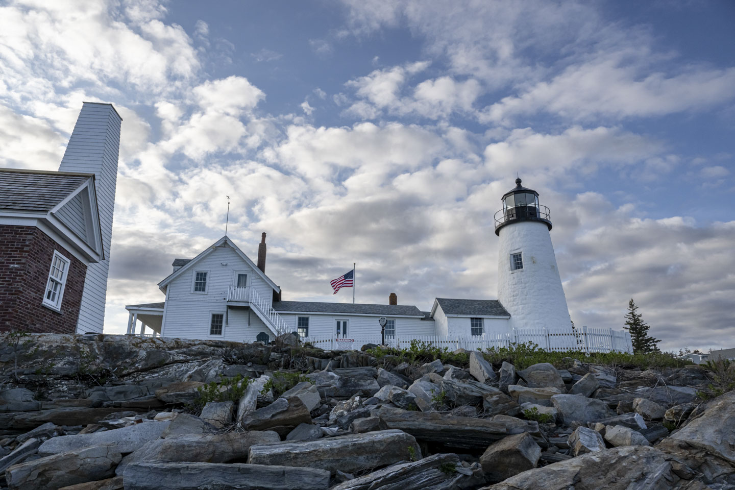
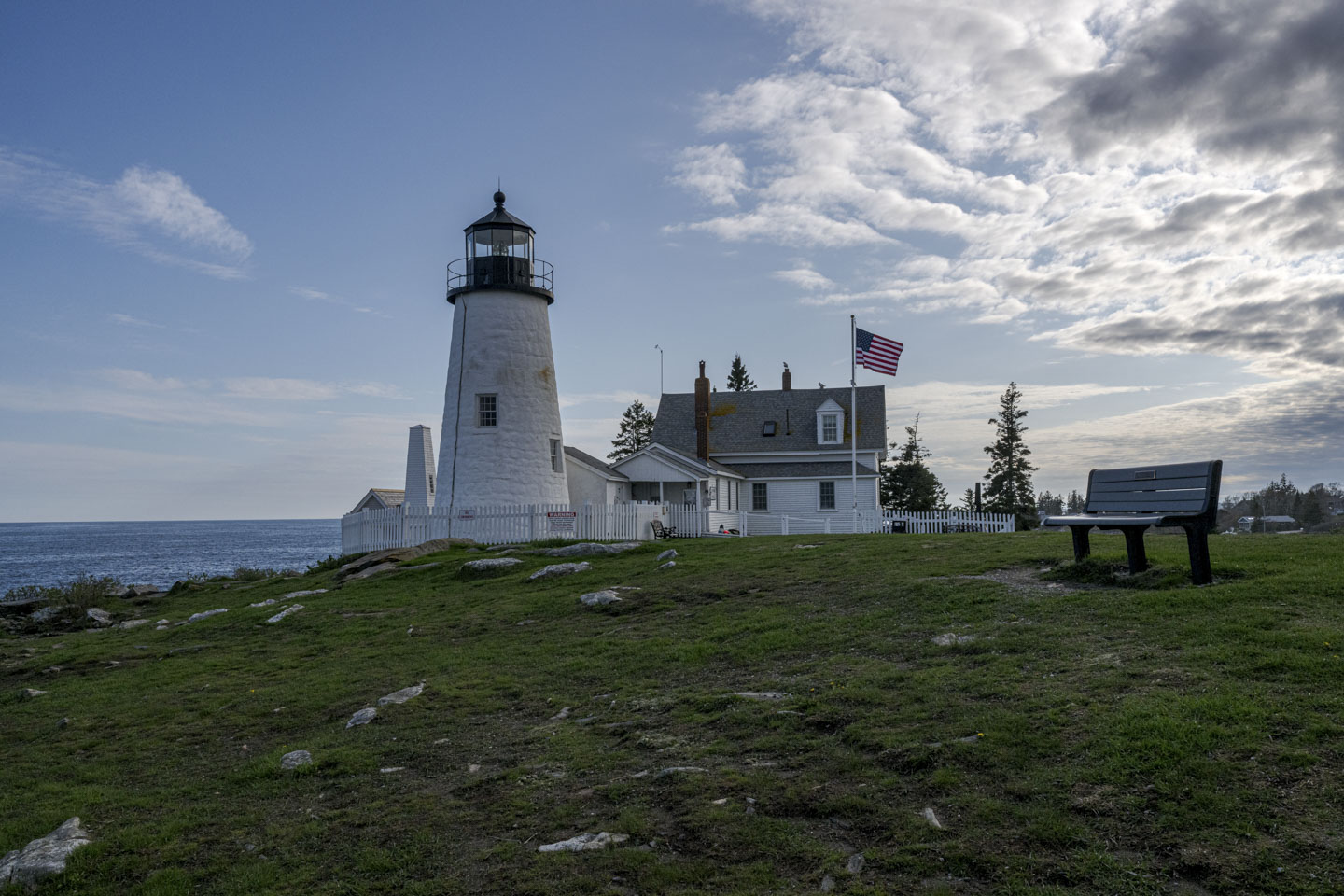
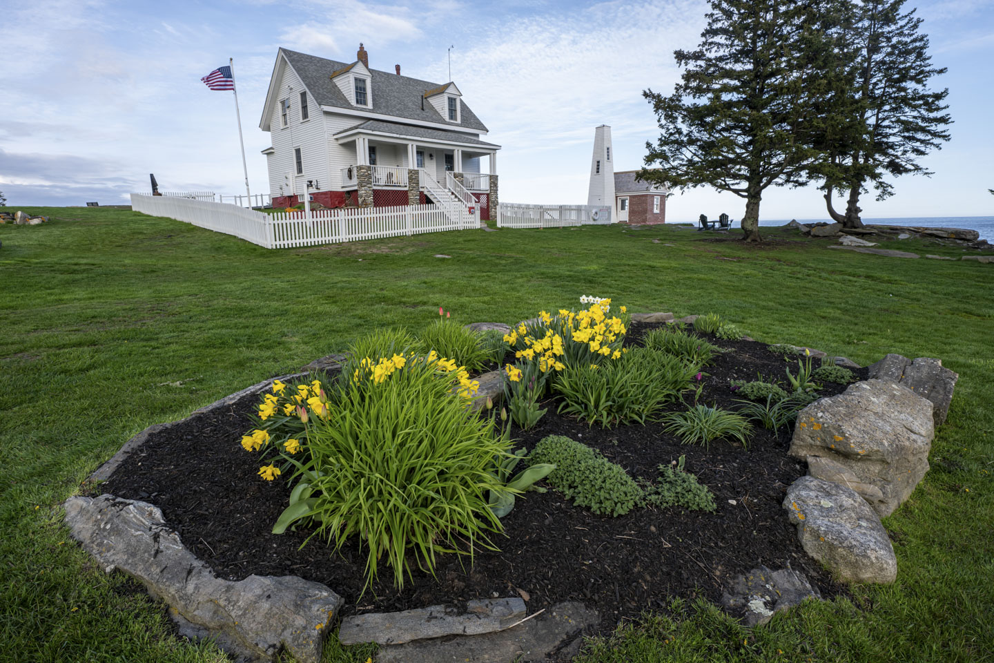
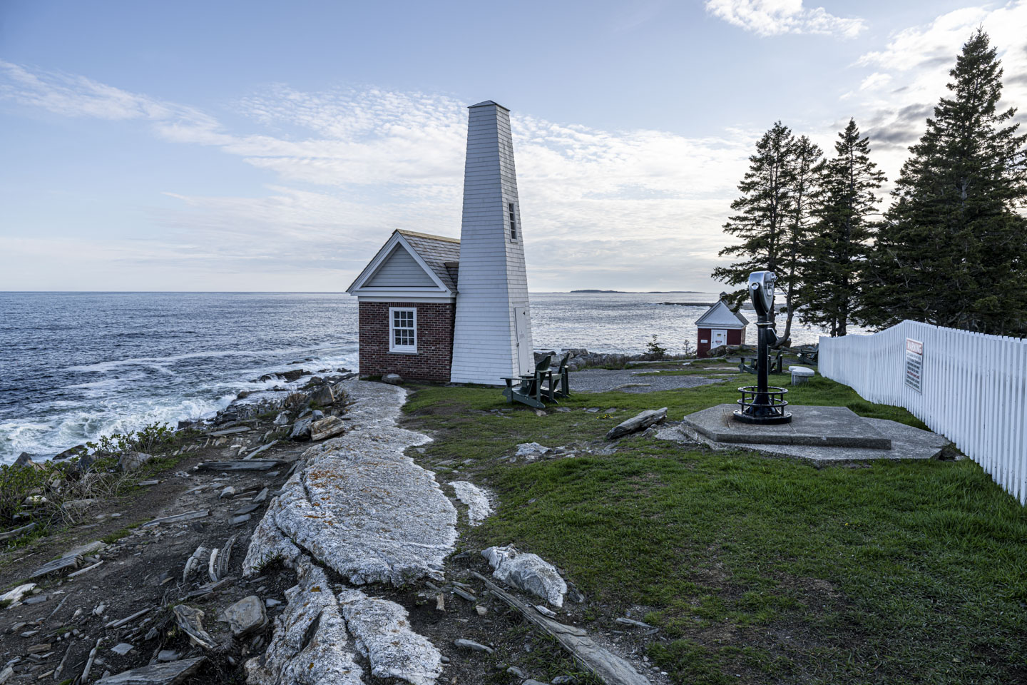
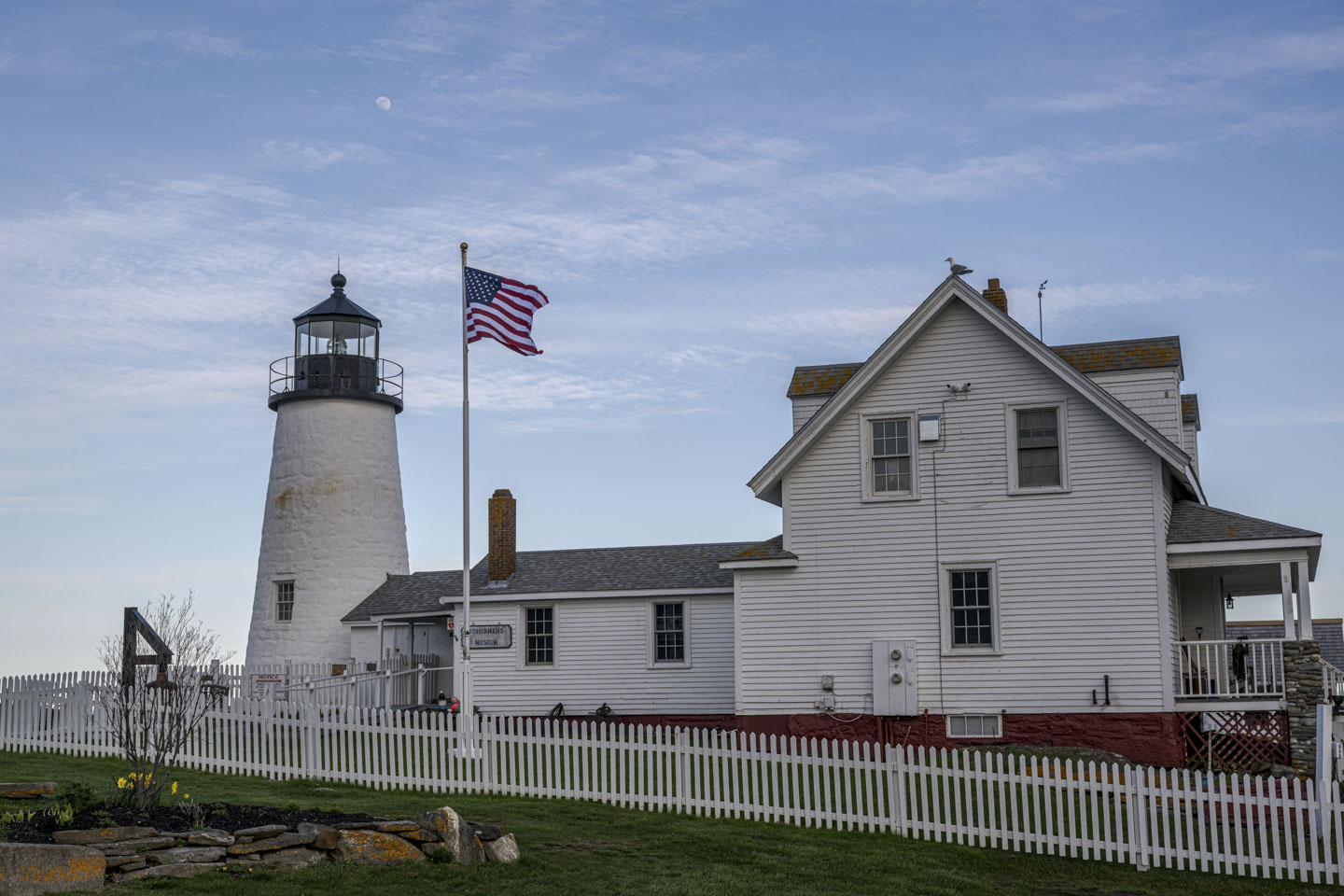
We showed you some pictures of the repaired Pemaquid Point Light in the January trip report. Here is a springtime 360-degree showcase of the lighthouse and the repaired fence and bell house.
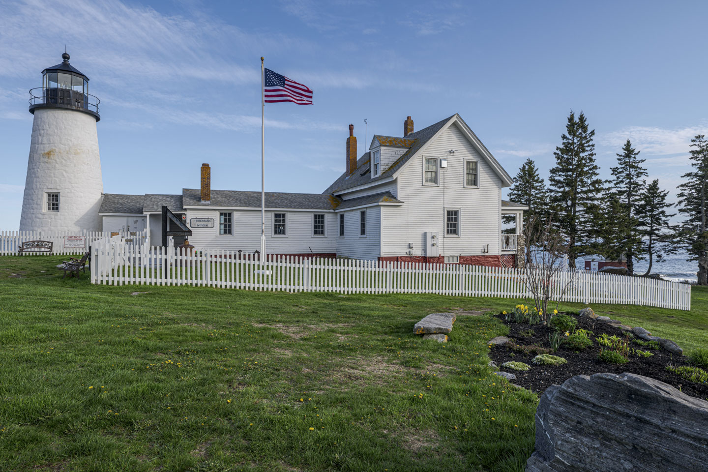
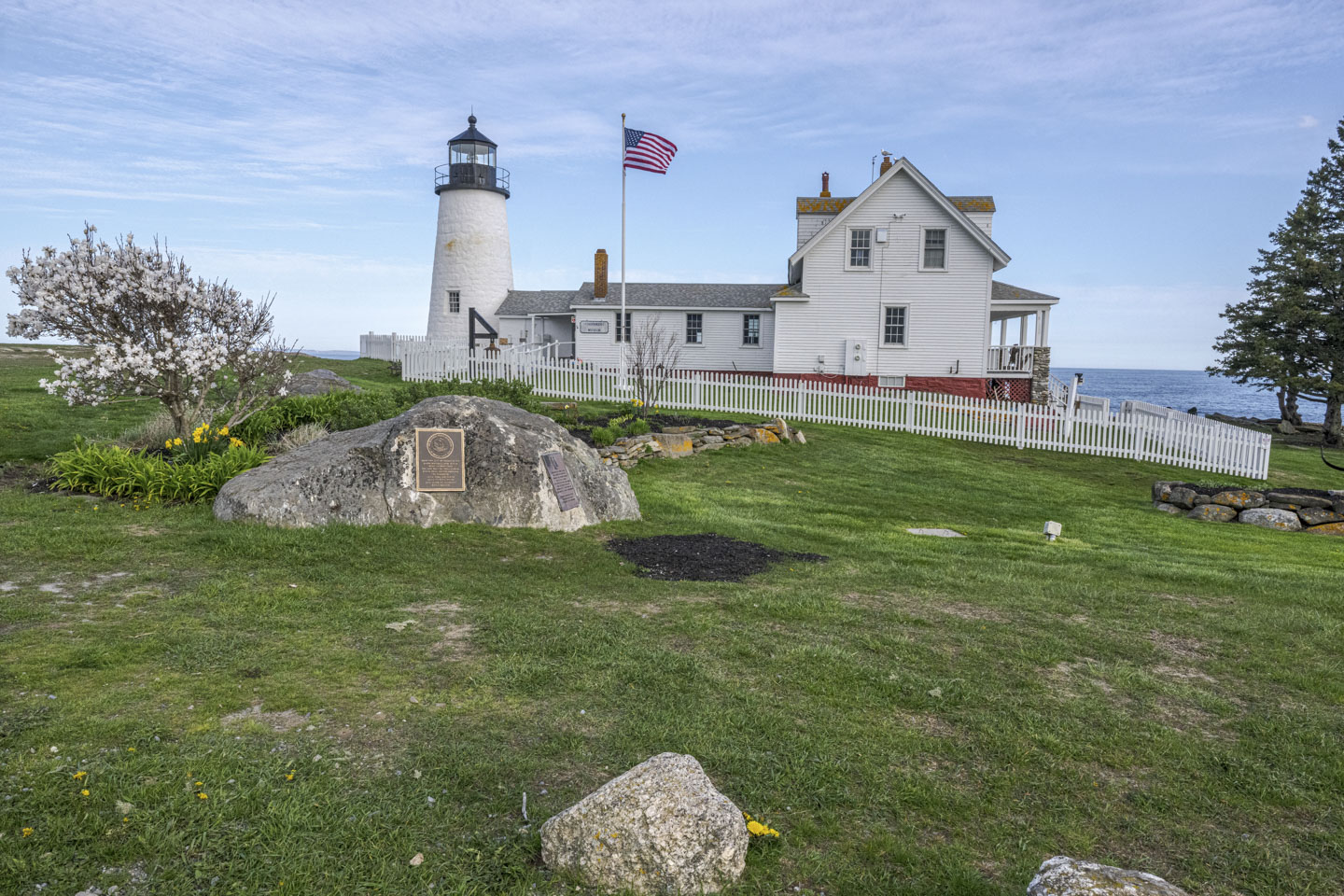


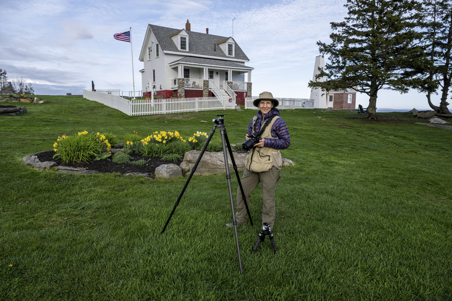
The Daffodils in their little garden were in full bloom.
Next to Anne is Paul's extended full-size tripod. You might not notice it at first, but down near Anne's foot is the mini tripod.
Here is the other side of the repaired bell house. The rocks directly behind the bell house jut far out into the water. Don't stand on the rocks on a stormy day!
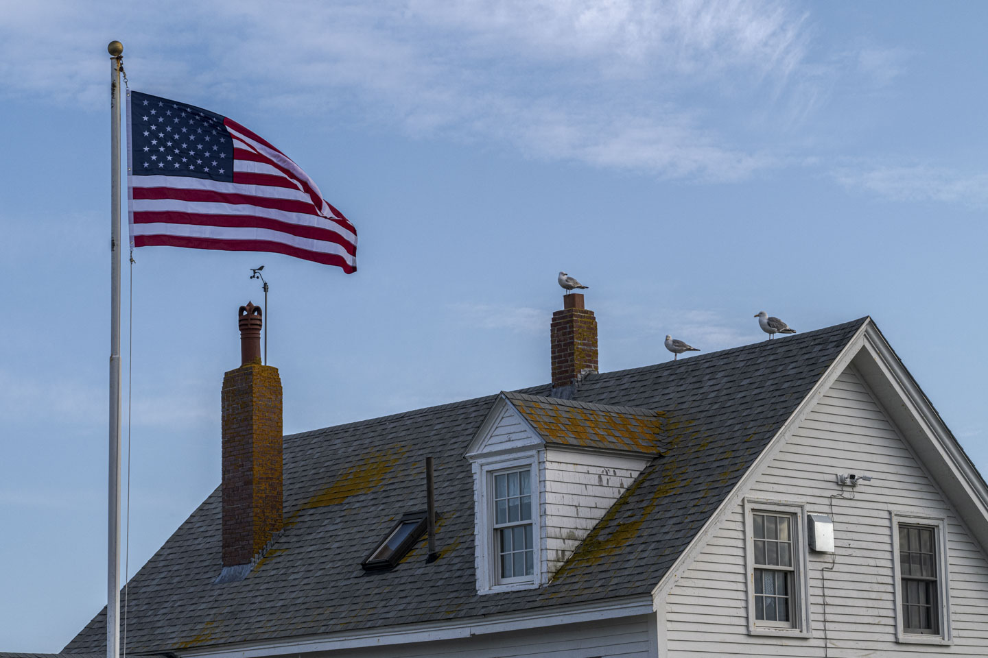
The gulls are enjoying the view.
The moon was more than half full during our visit.
At LaVerna Preserve, the osprey nest is occupied again this year. The male is bringing fish to the female.
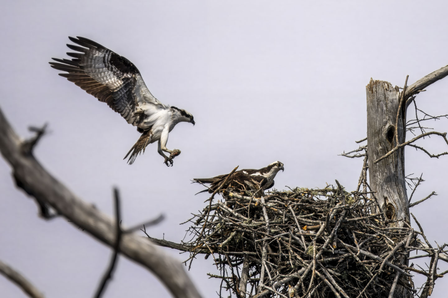
At one point, the male was making very odd maneuvers in the air while holding the fish. Instead of flying with his talons and the fish below him, he was positioning himself more upright and holding the fish in front of his body. We don't know if he was practicing landing, playing, showing off for the female, or something entirely different.

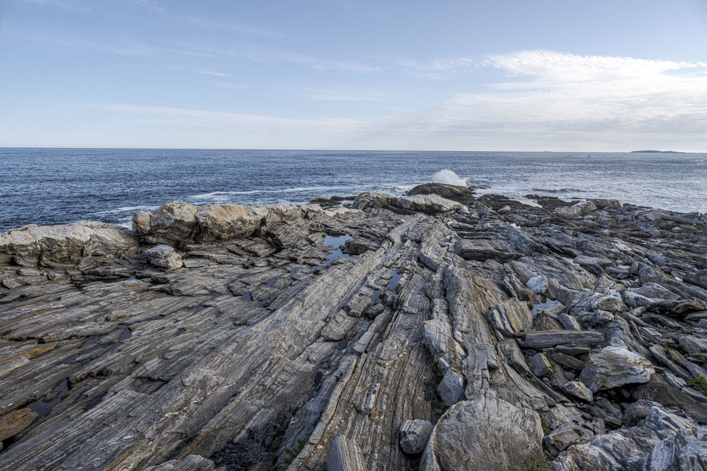
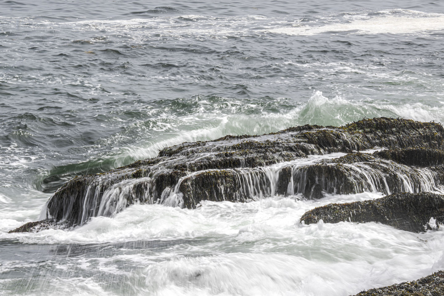
The waves.
Anne

The elusive Double-Headed Osprey.

A sign at LaVerna listed other preserves in the area, including the new-to-us Bass Rock Preserve in Round Pond (link to their website). The hardest part of this preserve is driving up the road to get there; there were some substantial pot holes! The walk in the preserve is short, through a pretty woods and along Muscongus Bay. Someone set up this little swing.

Driving back to Round Pond we saw a sign for Lupine Field. It is exactly what it says, a field, but it leads to nice views of the harbor.
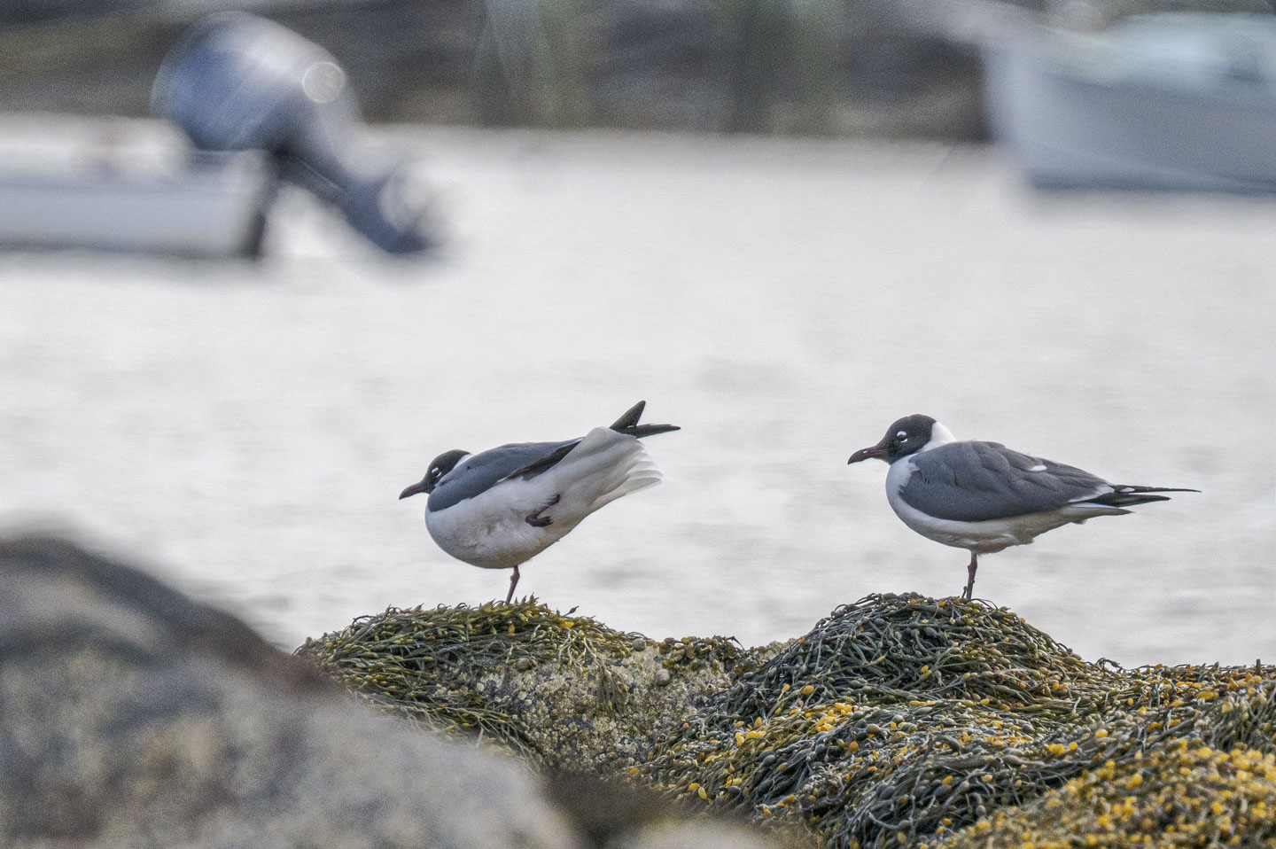
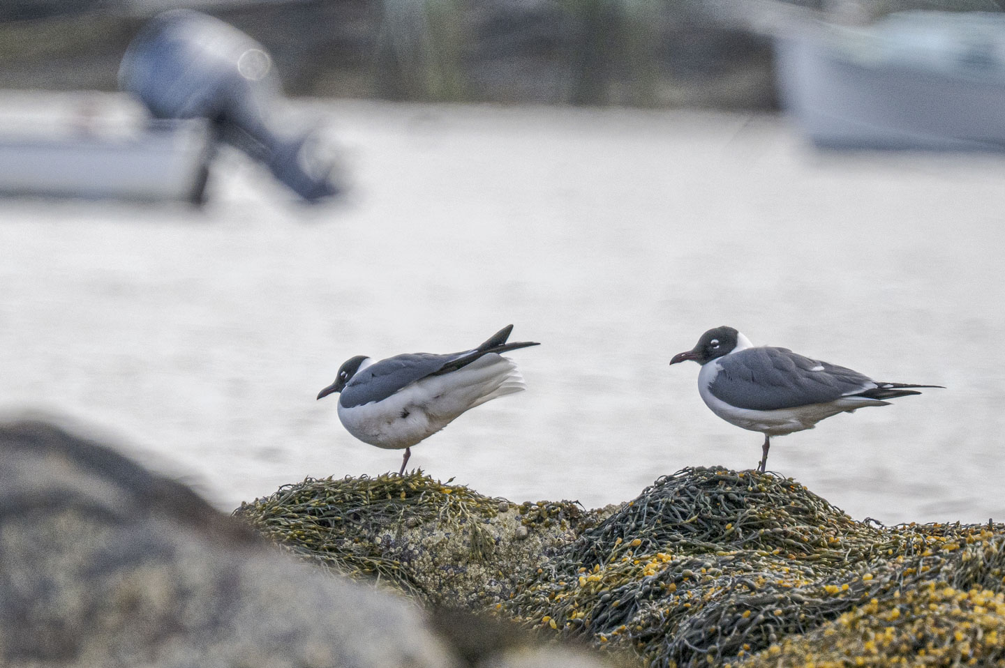
Laughing Gulls are less common than Herring Gulls, but they seem to like Round Pond Harbor.
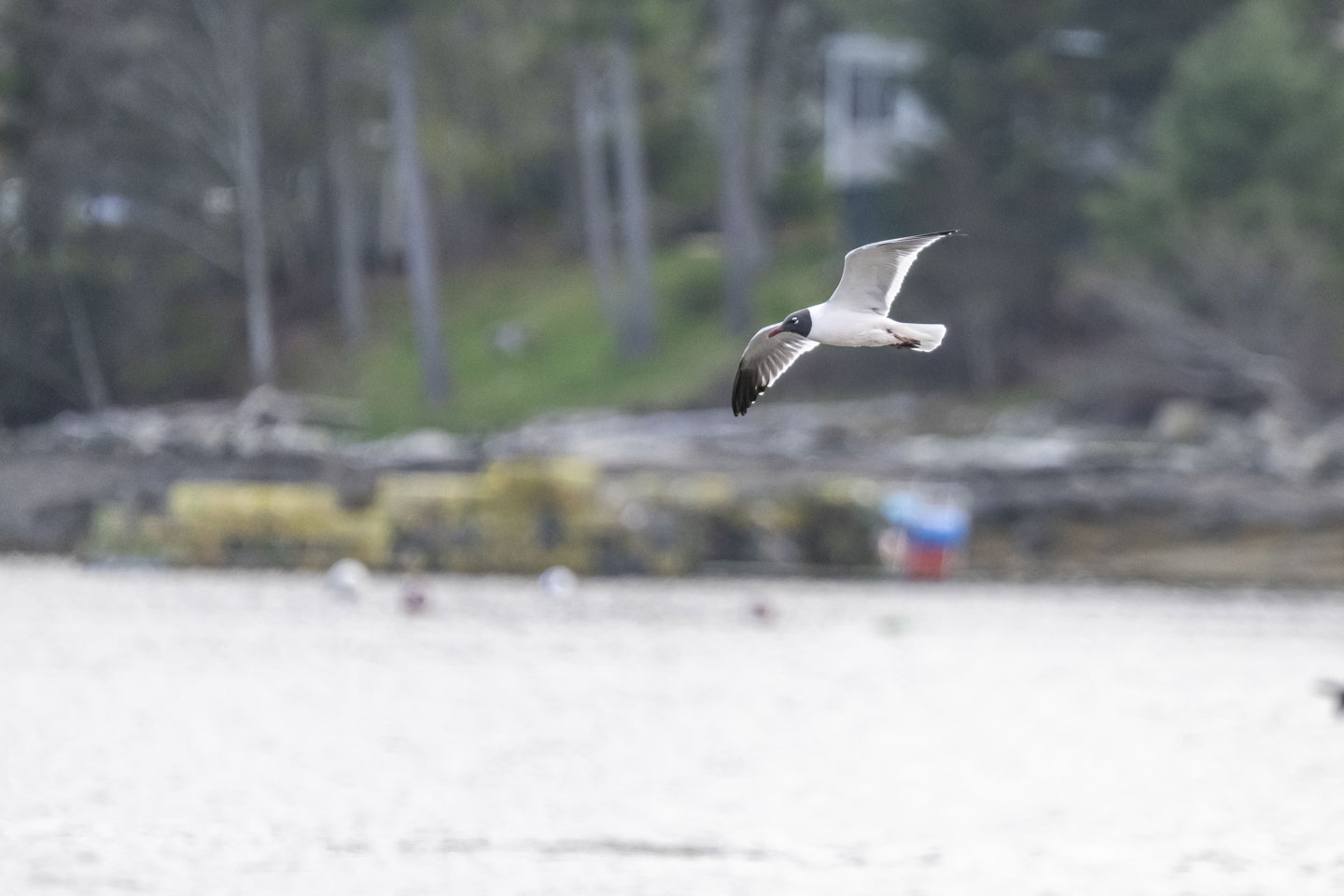
You often see birds standing on one leg. This gull was in the process of tucking his leg up. (Note: if you put your mouse over the picture, the slideshow stops.)


Next to the field were many daffodils and tulips.

Heading further north on the peninsula, on one of the inland roads, is Pemaquid Pond Preserve, another spot that is new to us (link to their website). The preserve has a short walk down to the pond...
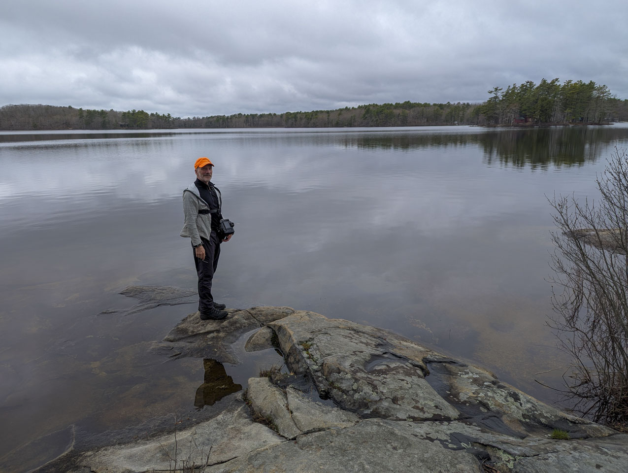
... and then a loop back through the woods to the parking area. Anne took advantage of that mini tripod.
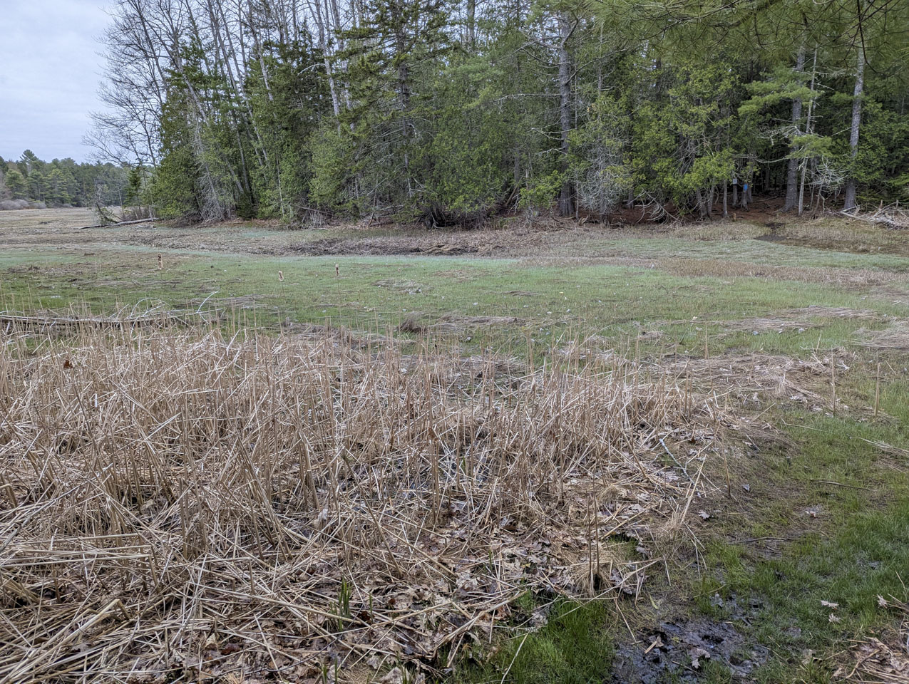
The last of the preserves that were first-time visits for us was Peter's Pond Trail System (link to their website). This is another nice walk through the woods, down to a pond which, confusingly, shows on the maps as Gross Pond. There are cliffs there where obviously jump off into the water, based on the rope for swinging. The trail crosses a very wet area.
Anne was again using the mini-tripod.


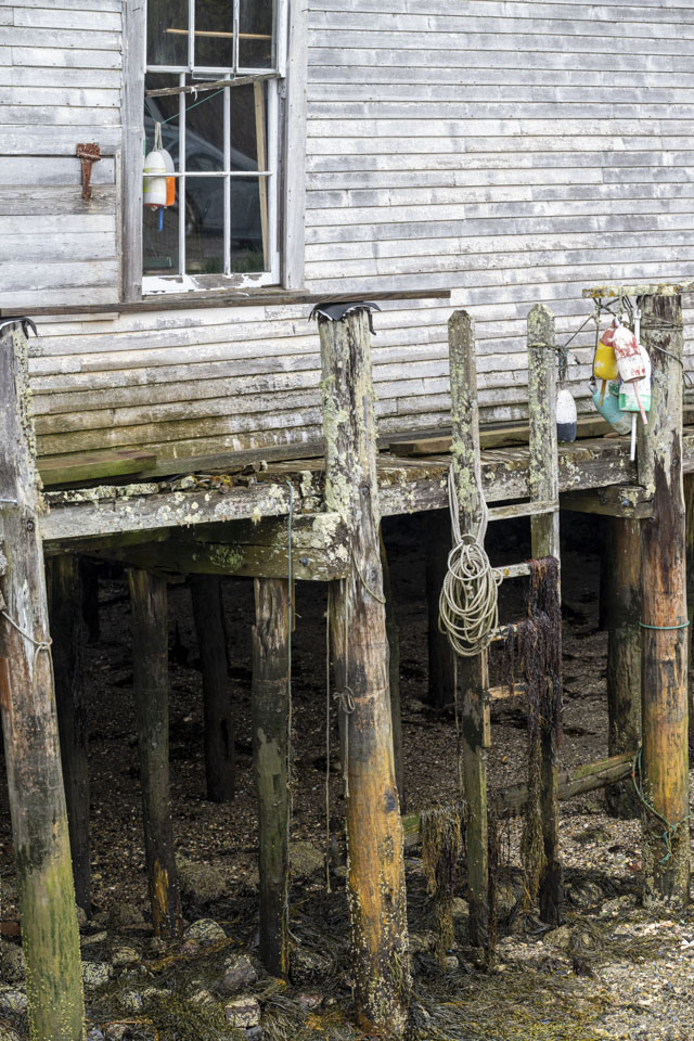
Driving over to the next peninsula, we visited Friendship. Downtown at the working harbor, they still had a holiday tree of buoys up.

We are not certain how sturdy this ladder is.
Driving around to the other side of Friendship Harbor gives a nice view back at all the boats taking advantage of the harbor's protection.


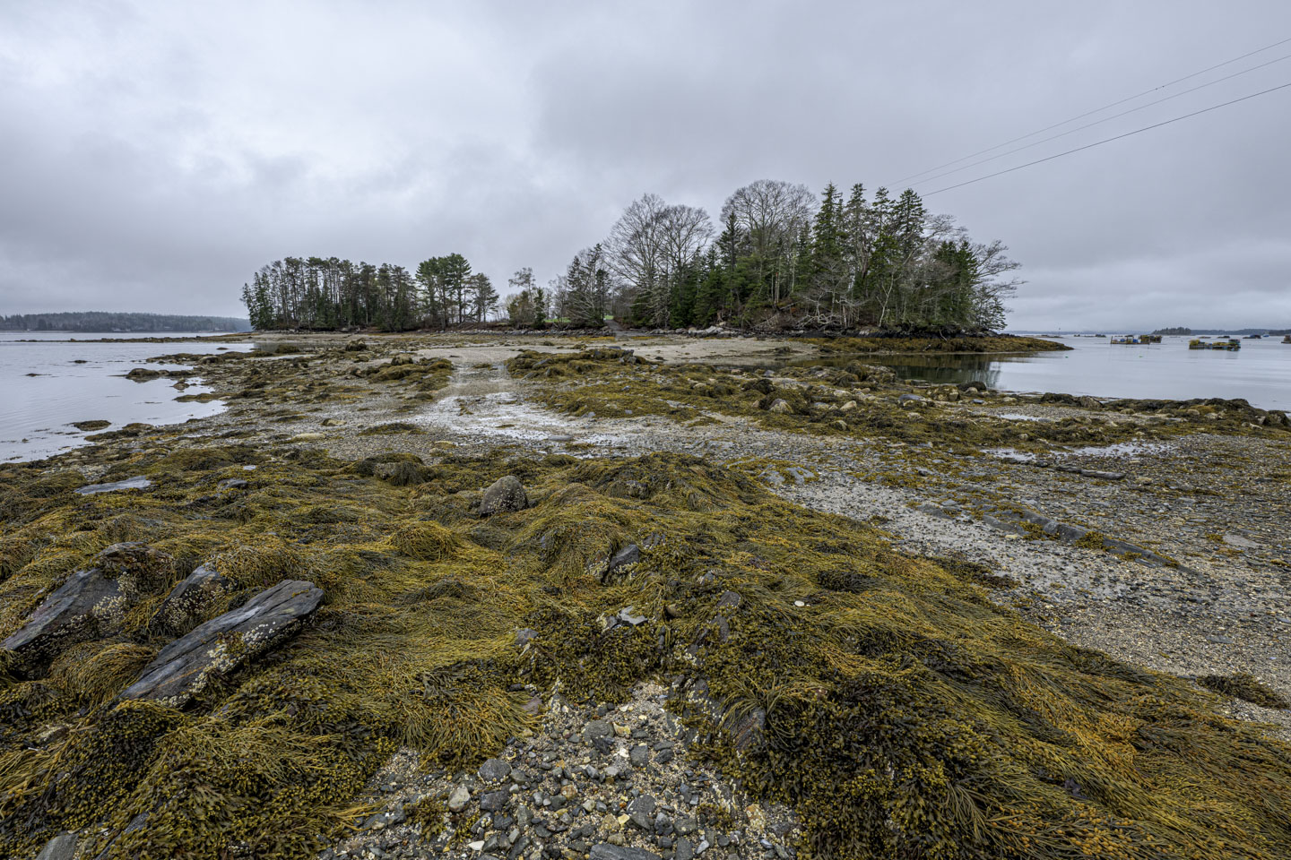
Nestled between Friendship Harbor and Back River (this is a fairly common name for rivers) is Garrison Island. There are houses on Garrison Island, but it is only accessible at low tide.
Looking at Back River.

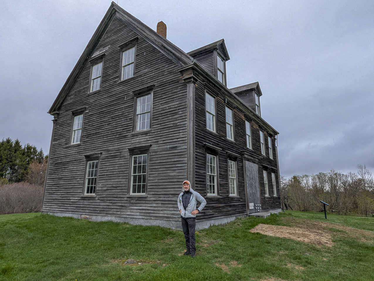
The northern most point we visited on this trip was the Olson House. We had previously been here in 2019. The parking area had been moved since then, and new informational signs provided. We took a picture of Paul standing in the same spot as John Olson.

On to page 5
Updated April 2026