Preserves, Storms, and Stories
May 2024
We love visiting the many little (or some not so little) preserves that are along the Maine coast. This year, we visited some familiar ones as well as found a few new ones. These new ones were primarily on the Bristol peninsula. As we drove along we noticed a new-to-us preserve, Hay Conservation and Recreation Area. This is a big field with a canoe launch and some benches, and a pretty view of Broad Cove off the Medomak River.
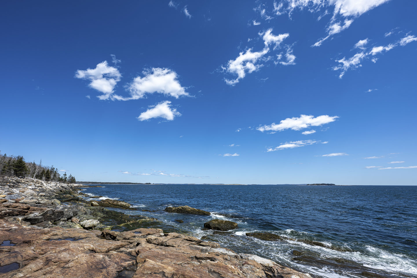
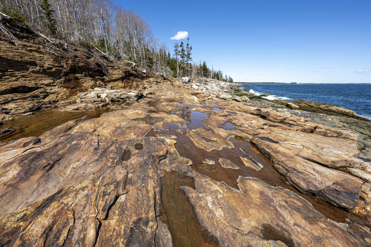
We had a picnic lunch there before continuing on to La Verna Preserve. This preserve has a long stretch of rocky coast.
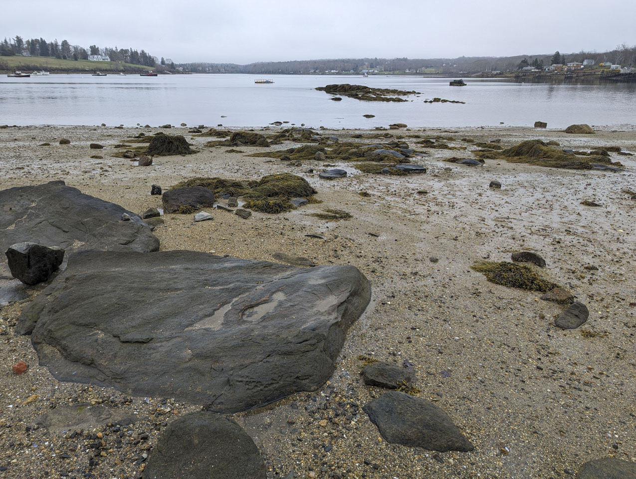
On the other side of the peninsula is Fort William Henry, which in addition to the remains of the fort also has a rocky beach and boat launch area.
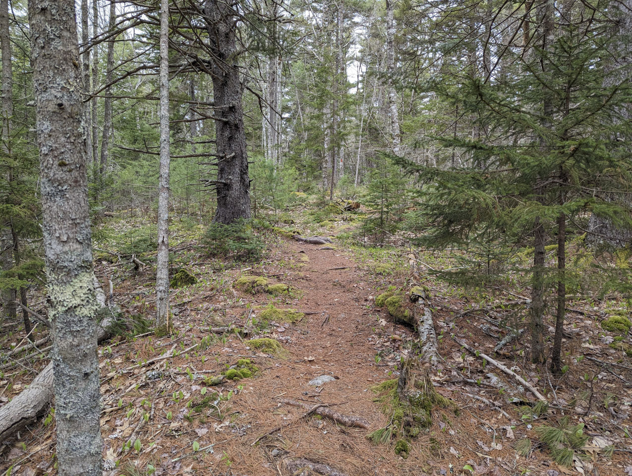
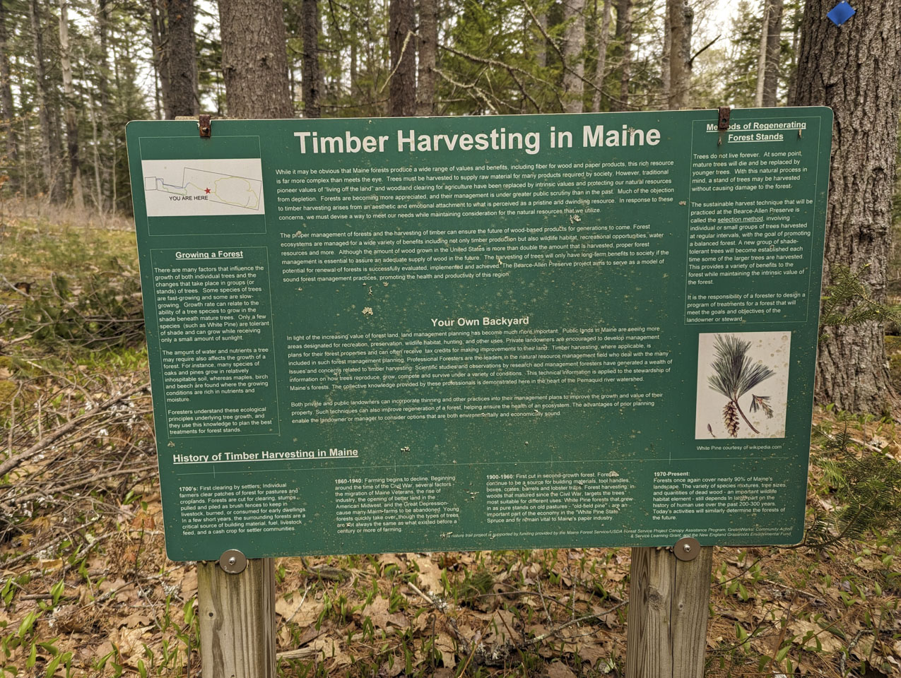
Another new-to-us preserve is in the middle of Bristol peninsula: Bearce Allen Preserve. There are fun information signs along the trail here, talking about both the forest and forestry.
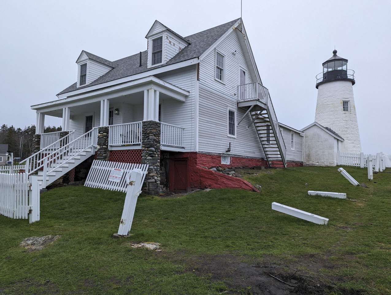
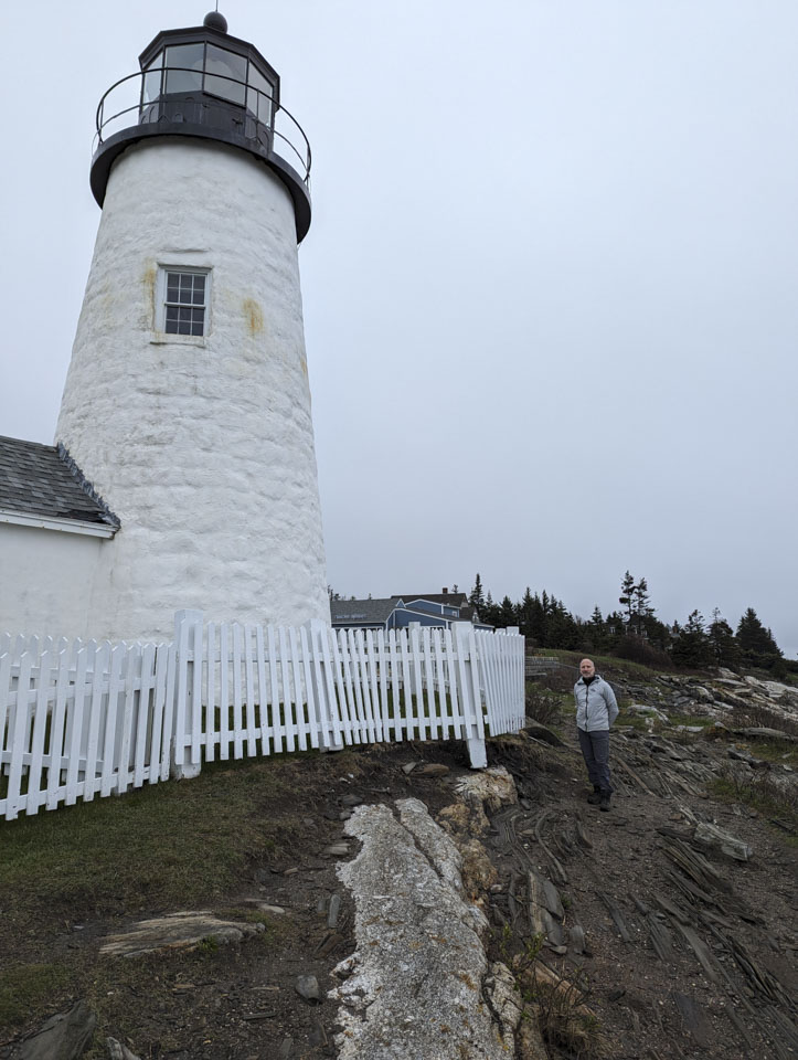
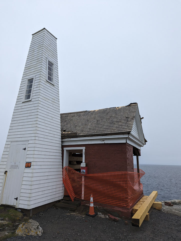
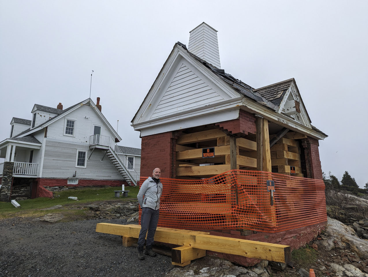
One of the main attractions on this peninsula is Pemaquid Point Lighthouse. We had read about the January 2024 storm damage, and that damage was obvious. The main house and light are mostly undamaged, although the fence is in tough shape. The fog bell building, however, had been pummeled by the storm. They had fortunately brought the actual bell inside for some restoration work, or it would certainly have been lost to the sea. The building was restored over the summer after our visit and is now stronger than ever. Kudos to the caretakers of that lighthouse.

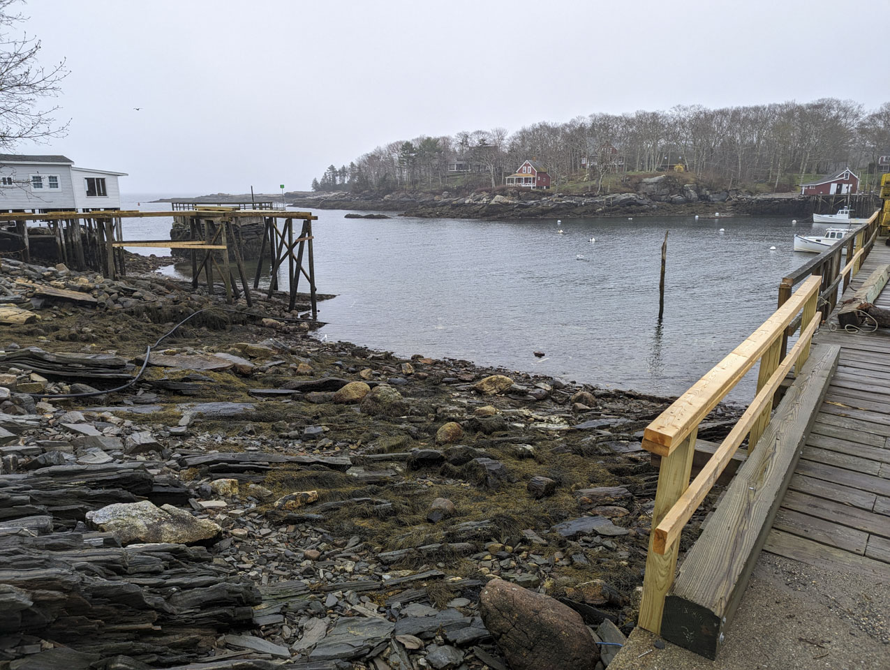
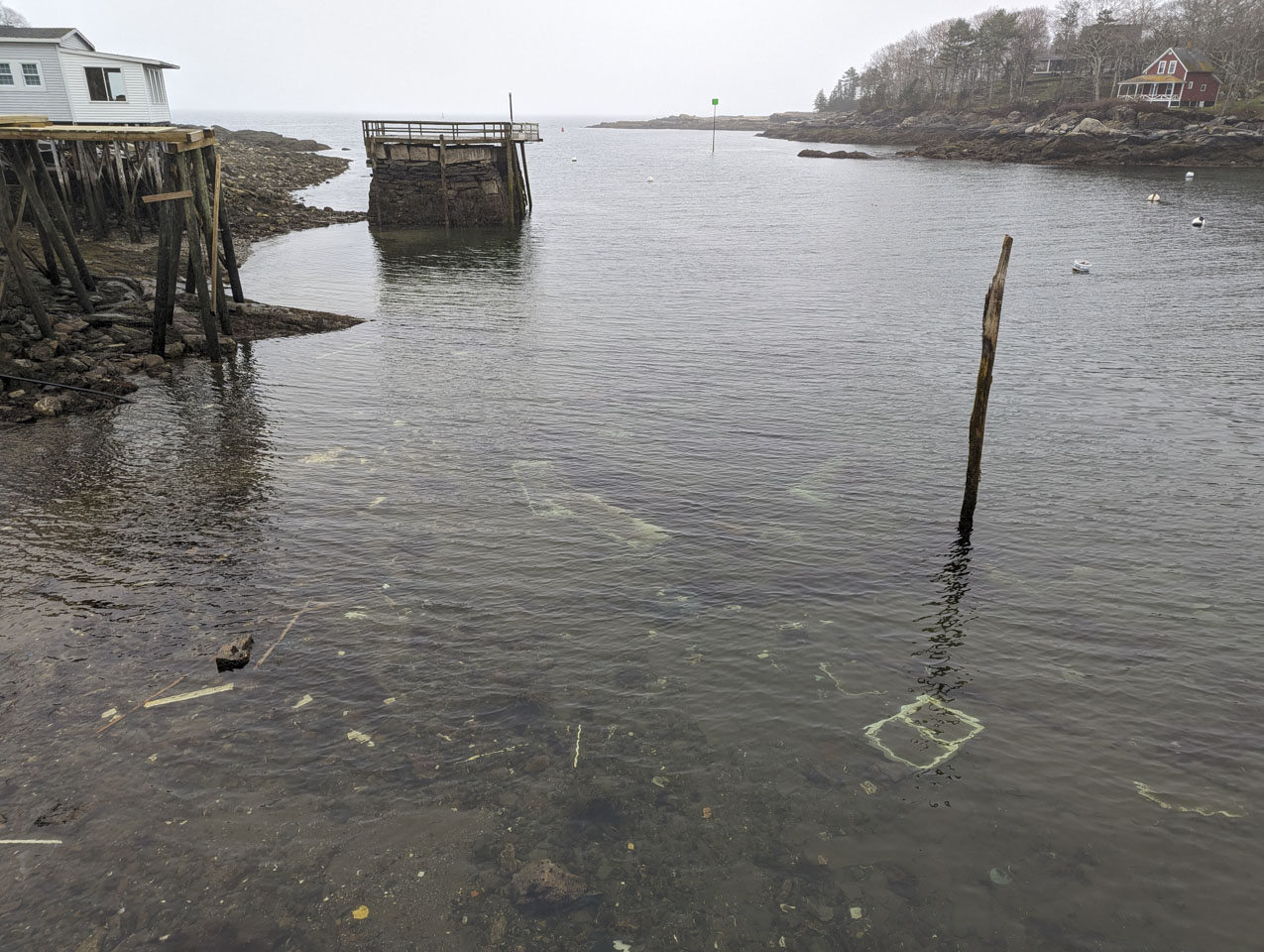
Just up the road from the lighthouse is New Harbor. This actually looked better than we had expected, because it had been heavily damaged by that same storm. The storm was so bad there that some buildings, including a recently renovated home, were floating in the water. You can see the new lumber being used for reconstruction. You can also see some pieces of a house, such as a window frame, still in the water.
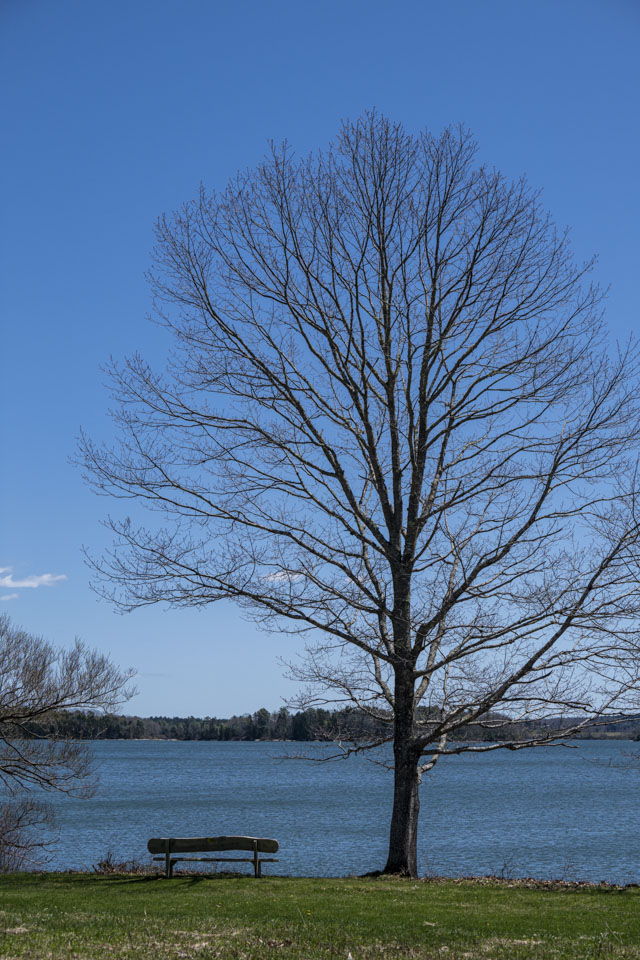
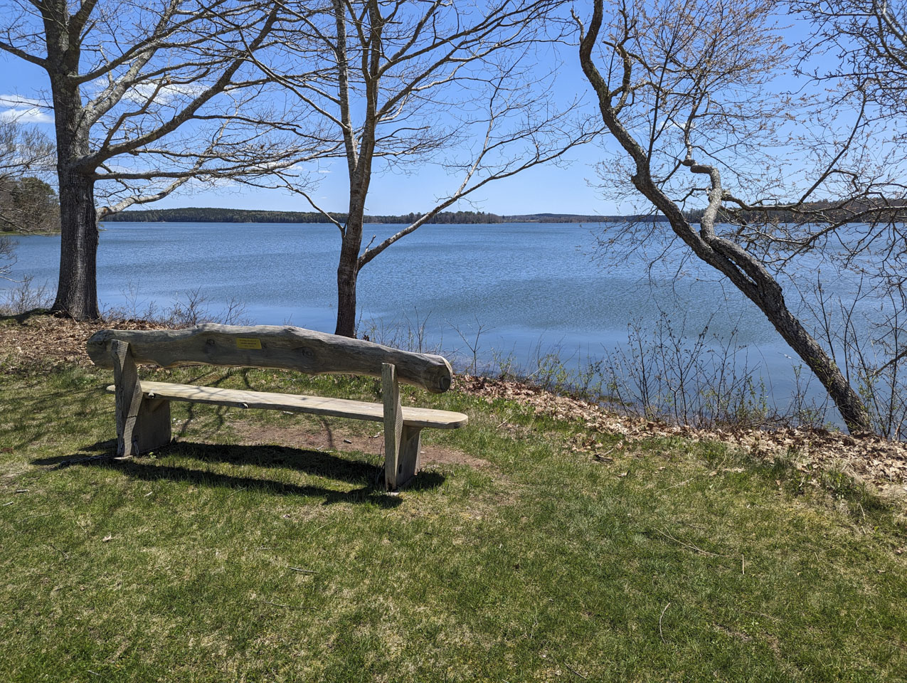
Back on the Boothbay Peninsula, we hiked another familiar preserve, Liniken. On this visit, we looked across the Damariscotta River and saw the bench of little Rutherford Island Preserve, on Bristol Peninsula. We have hiked that preserve and looked over to Linekin, but had not previously looked over from Linekin and seen the Rutherford bench. The big house is much closer to the bench than we had realized!

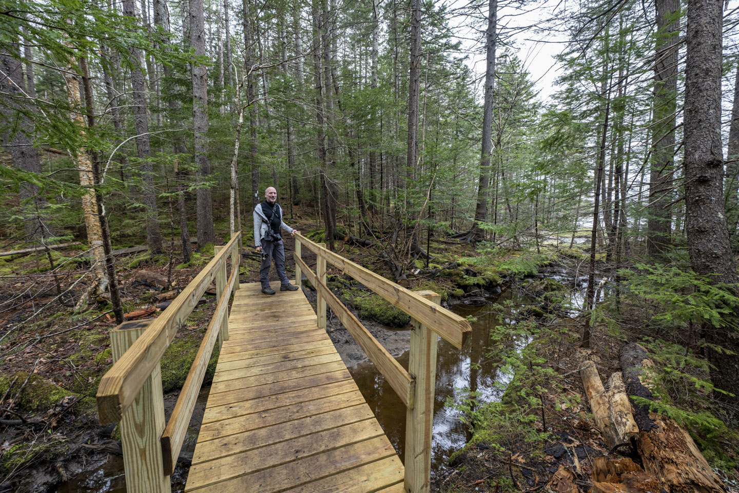
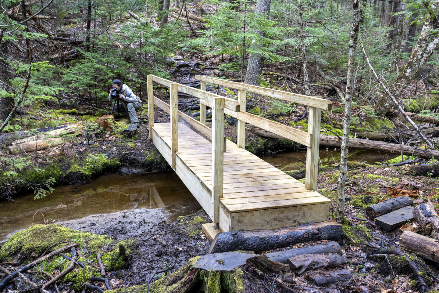
Another preserve we explored is Cross River Preserve. It had been sprinkling on us that day but had cleared a little before this walk. This is a nice enough walk through woods that leads to a river view, and has a cute bridge.
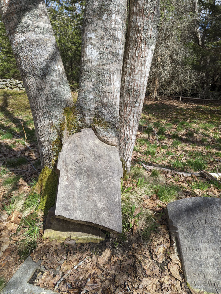
Another familiar preserve is Porter Preserve. On the edge of the preserve is an old cemetery. We found this interesting; a tombstone must have fallen over into the tree, which grew around it and is pulling it up.
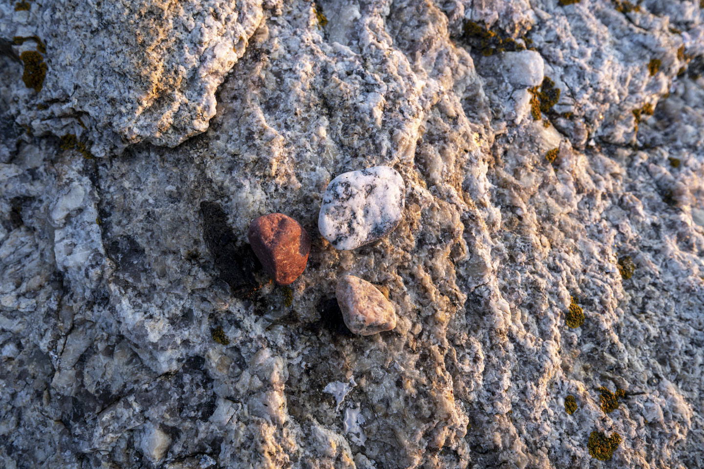
Anne brought her photogenic pet rock with us, and took a picture of it (the white and black one) with a few friends.
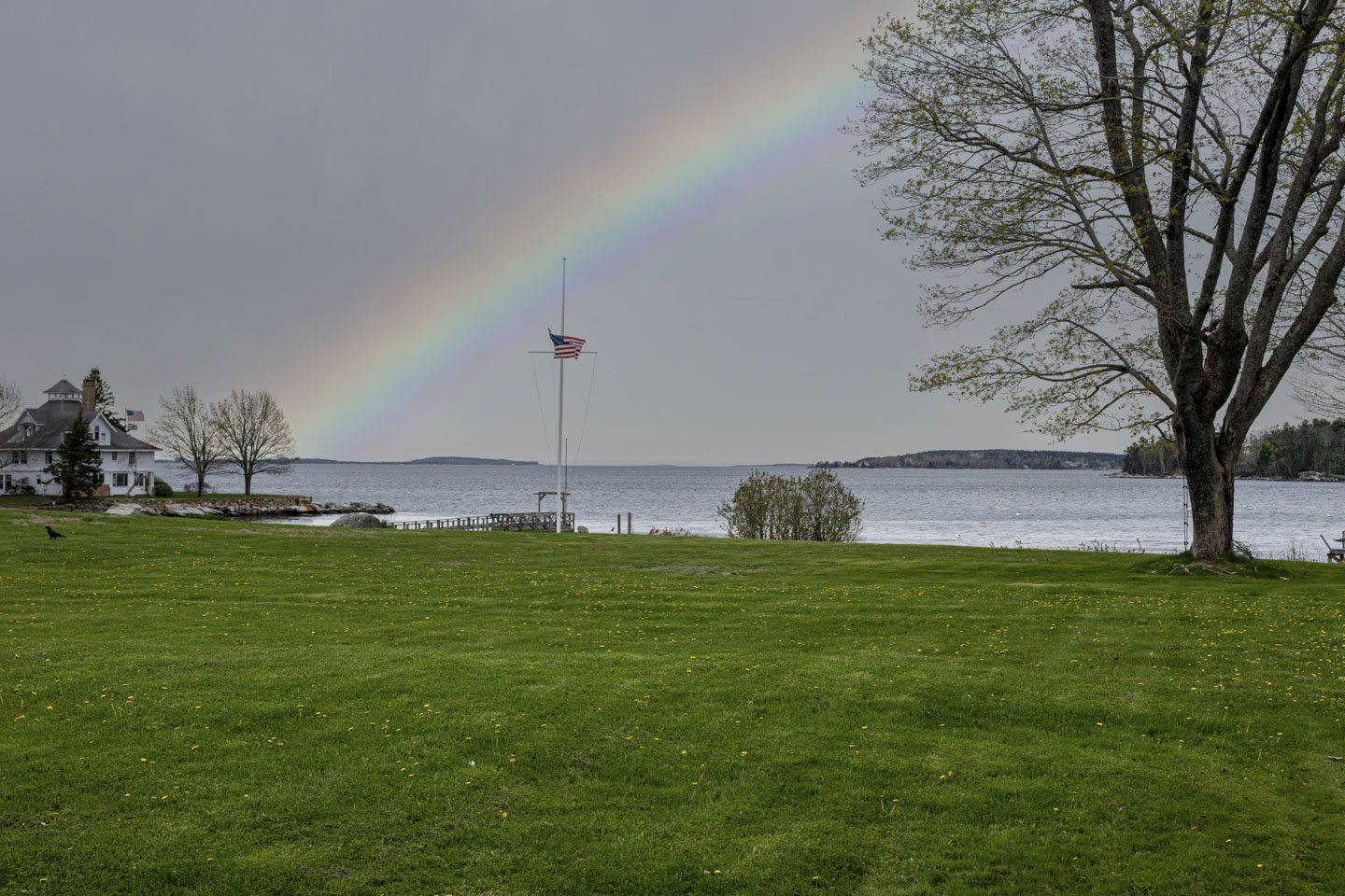
On our morning harbor walks, we met Bob McGee, who walks his 3 friendly Golden Retrievers along the waterfront. He invited us to the area where he lives to take some pictures. Although we did not knock on his door, since we knew he was working, we did get a nice picture of a lawn with the harbor beyond it.
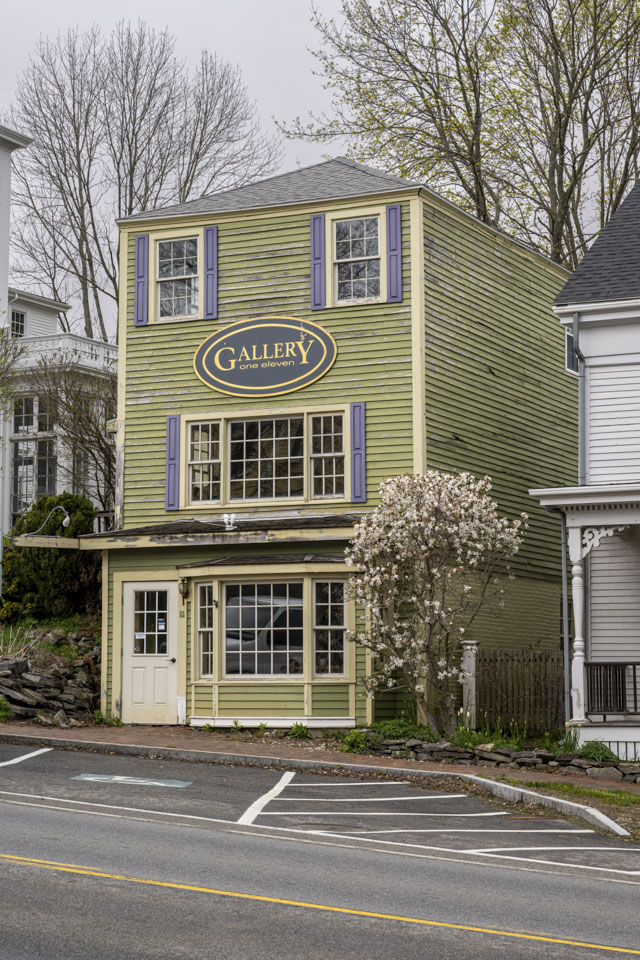
Another side trip that we took was to Wiscasset. Paul had read a novel, The Shadow Box. In this book, one of the characters went up to an art museum in Wiscasset, Maine. Based on the description of the art gallery, we think the inspiration was one of these two buildings, most likely the 1st.
The historic Nickels-Sortwell House was once a hotel, then a summer home, and now a landmark that can be toured, or even rented for a vacation stay.

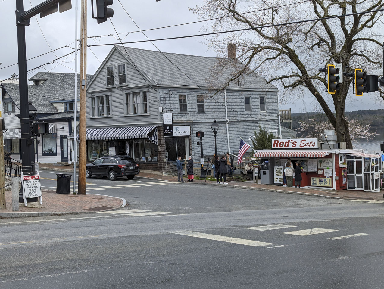
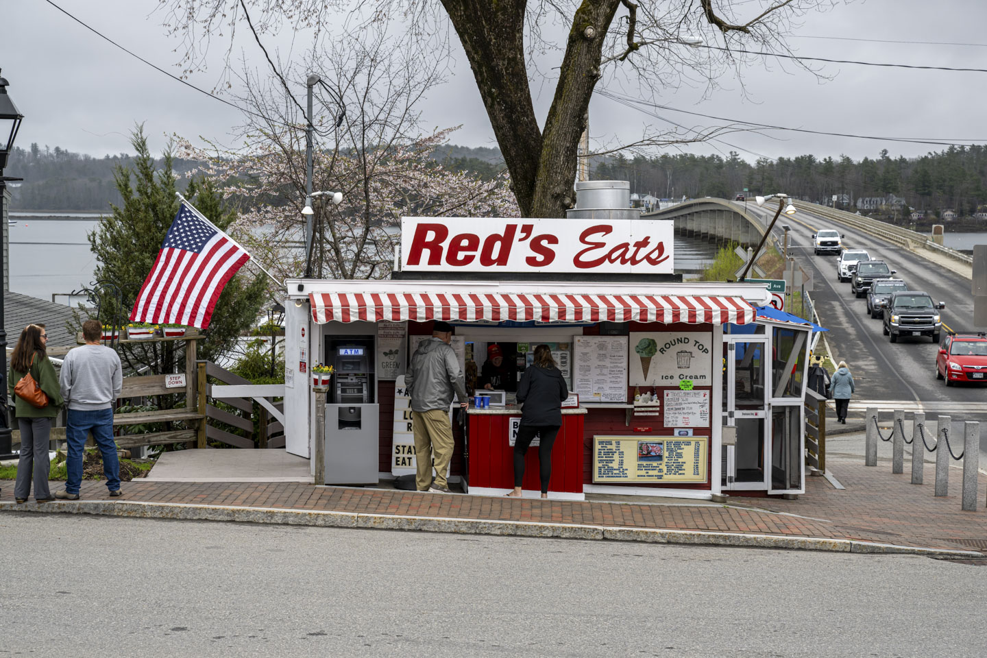
The famous Red's Eats had a steady business, even in early May. Perhaps some of our family can test their claim to have Maine's #1 lobster roll.
Page 6 of this trip report features flowers.
Updated April 2026