Lighthouses
May 2022
Crashing waves, a rocky shore ... with all of those of course you need lighthouses! Maine has many of those. We will feature the following lighthouses (with Seguin occasionally in the background):
Here is a map showing the relative positions of the lighthouses mentioned above, plus a couple others that show up in photographs.
Ram Island Light
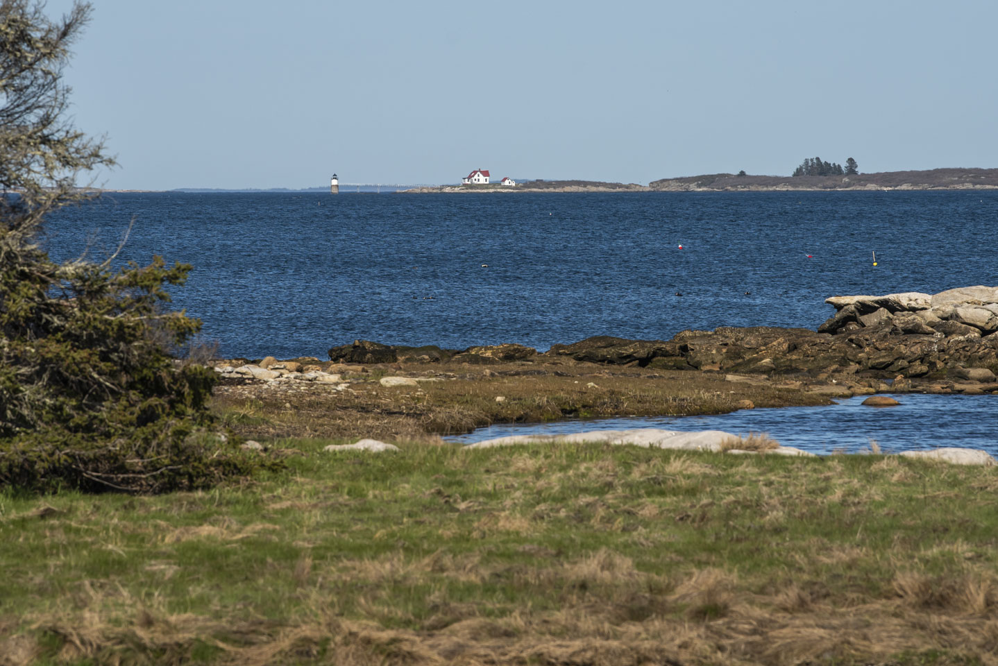
We ended the last page with Rams Island Light, so we will start this page with the same. Here are a few views of the lighthouse. View 1 is from the same basic angle as on the previous page, which is from along Shore Road, Ocean Point, East Boothbay.
Here is a closer view from the side (from that same vantage point) plus one showing some slow shutter speed wave action.
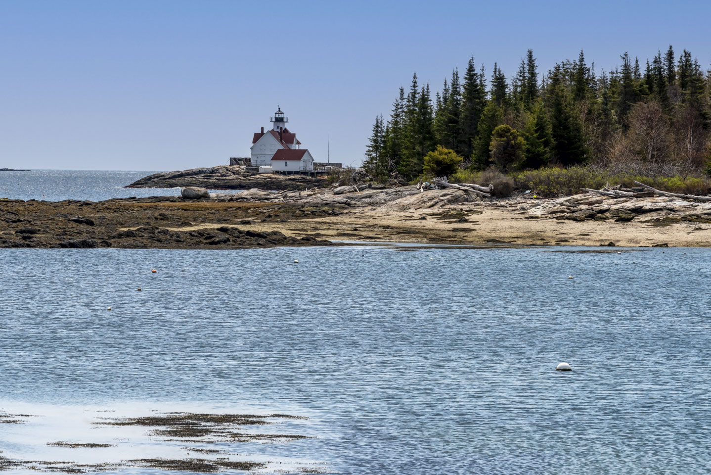
And thirdly is a view from the other side of the lighthouse. This is actually taken from Southport Island, a little north from Cuckold.
Burnt Island Light
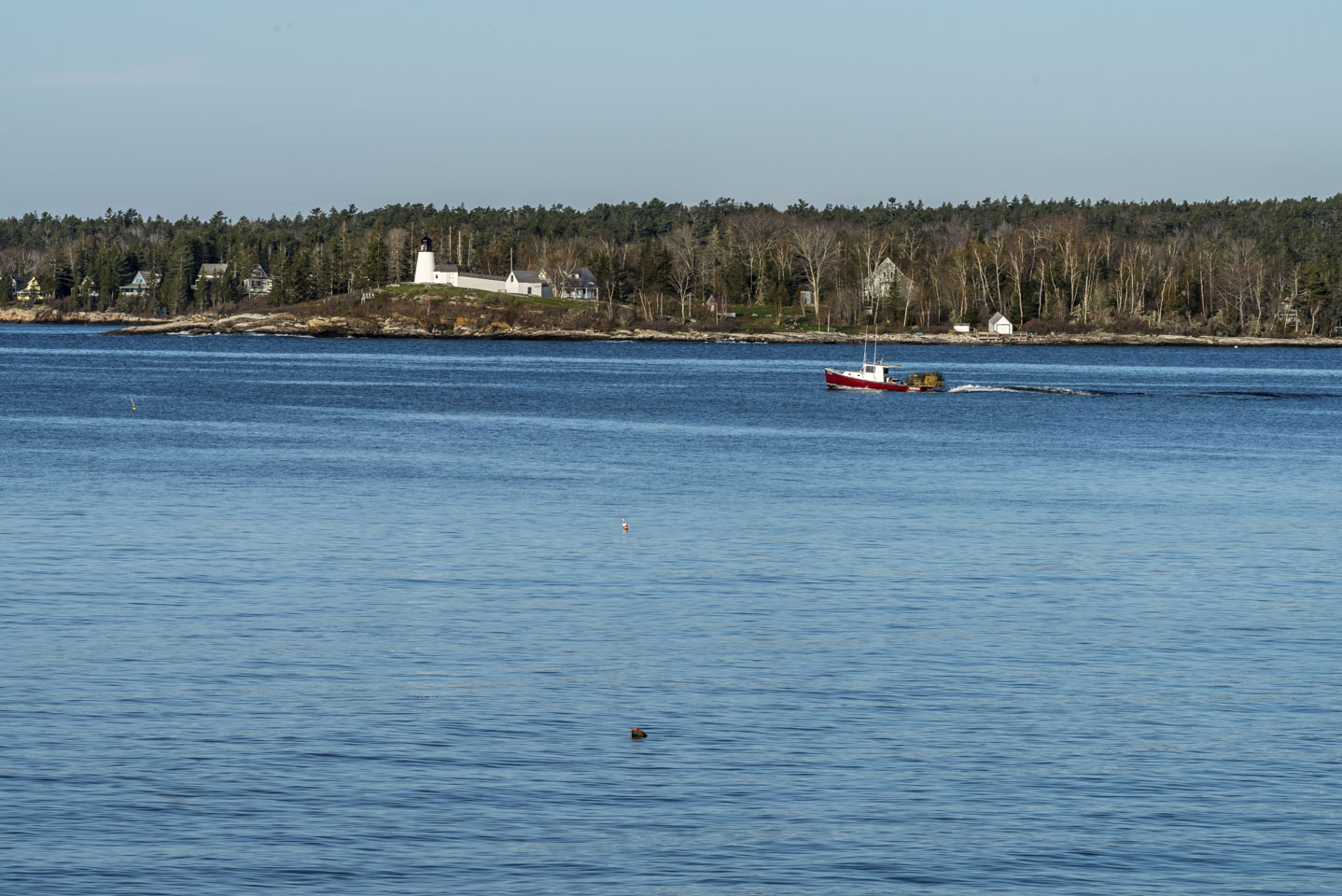
The lighthouse that will help guide you into Boothbay Harbor is the Burnt Island Light. This first picture is a view from Spruce Point, which is across the entrance from the lighthouse.
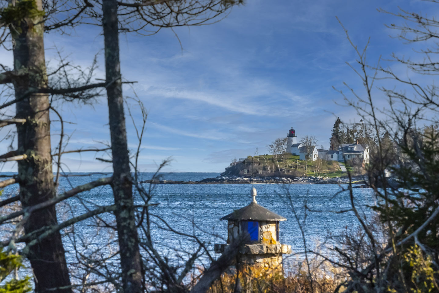
Coming in towards the harbor more, you can just get a view of the light from where the Maine State Aquarium is located. (The Aquarium is always closed when we are there.) The mini-light you see in the foreground seems to be a private structure on a stone wall.
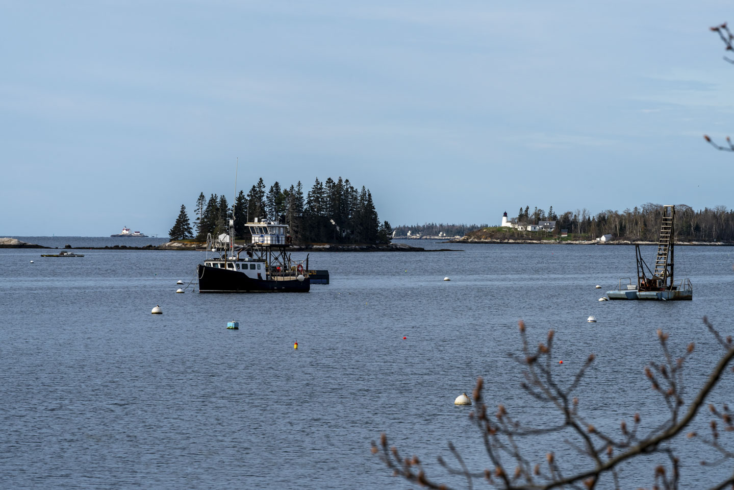
This next picture is a two-for-one special. On the right is the Burnt Island lighthouse, and on the left in the distance is Cuckolds. This view is from Boothbay Harbor itself, in the parking lot of Tugboat Inn and Restaurant. The island in the middle is called Tumbler Island.
Cuckold Light
This next picture is another two-for-one special, showing the same basic scene as the above photograph. The obvious difference is that this one is after the lights have come on for the night. Another obvious difference is the elevation; this was taken from Topside Inn, which is 75 feet higher than the previous one. On the right is the Burnt Island lighthouse, and on the left in the distance is Cuckolds.
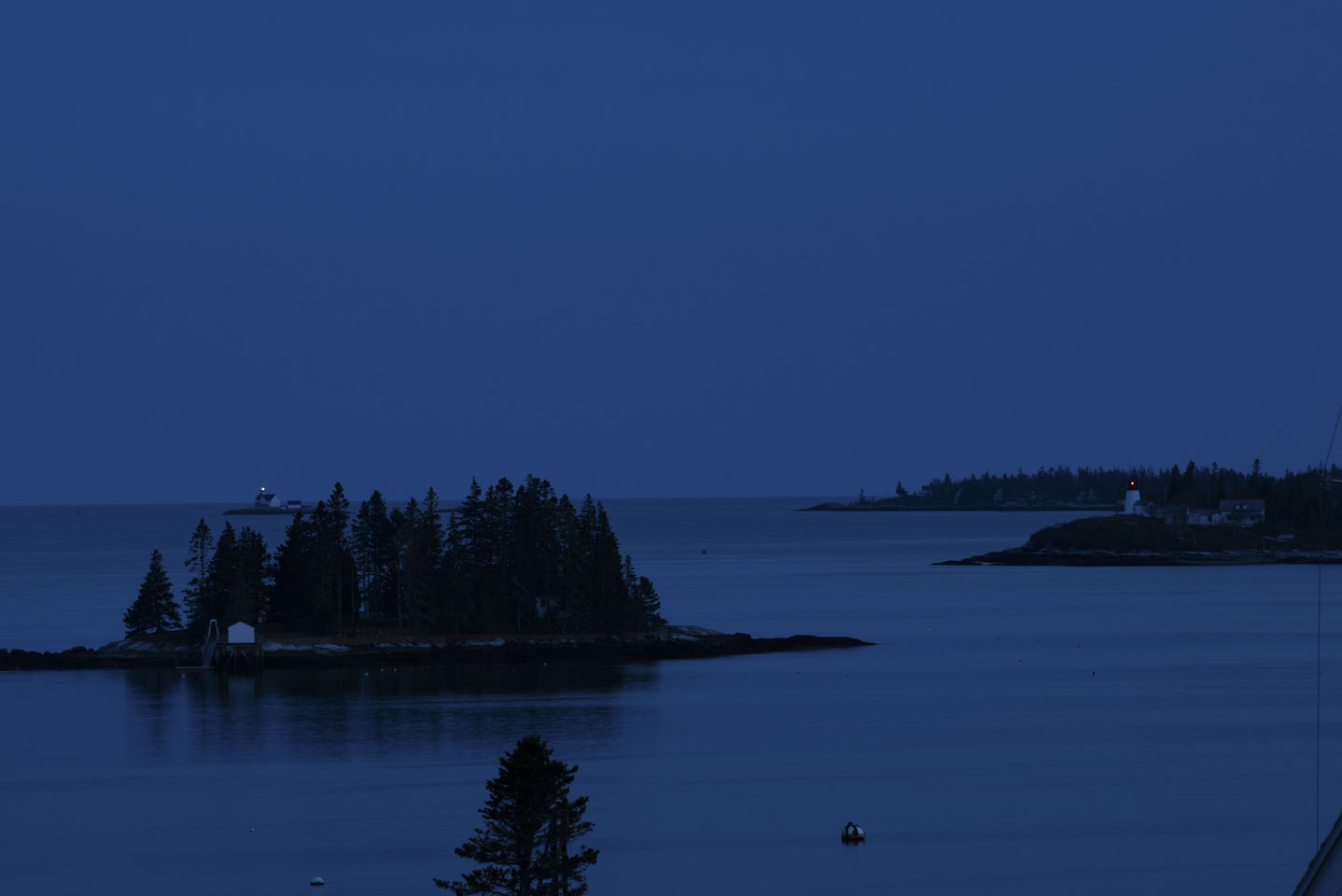
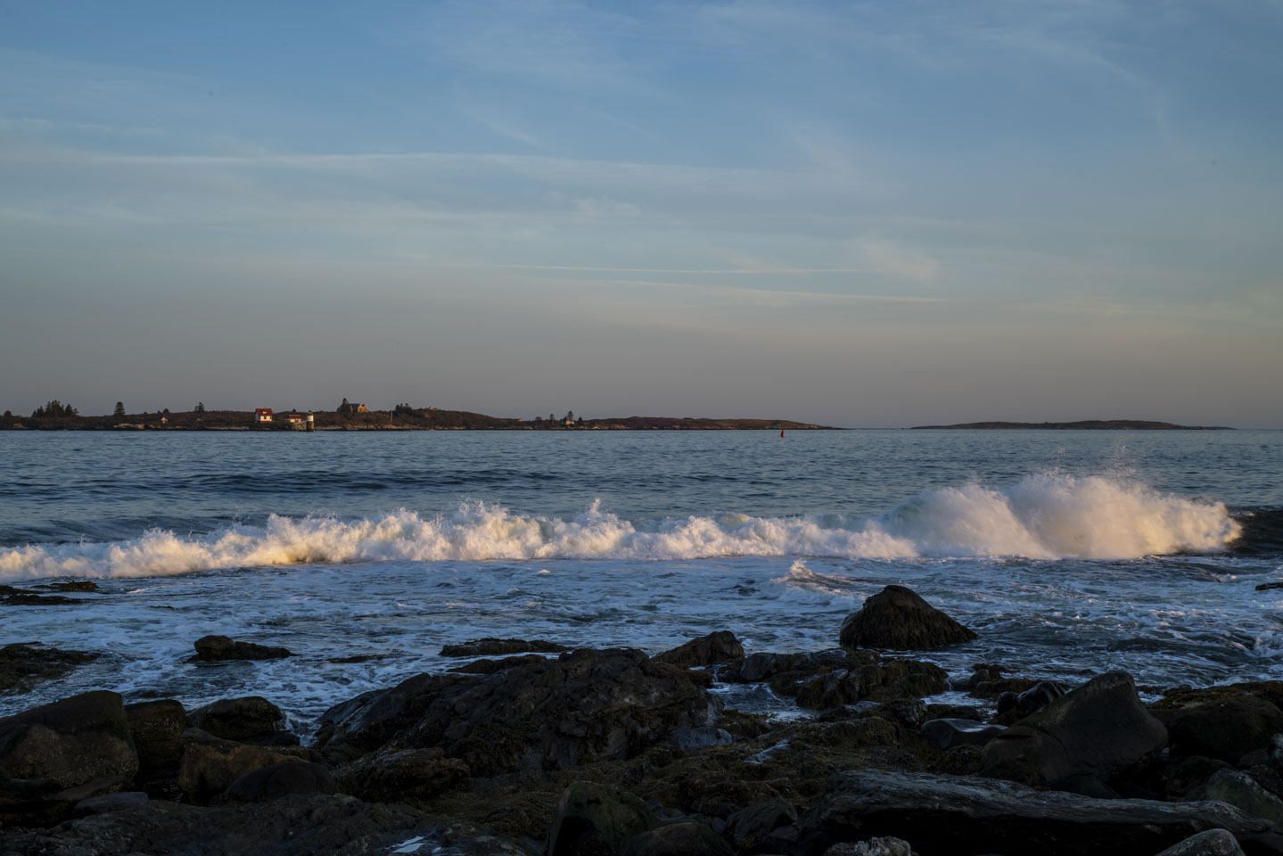
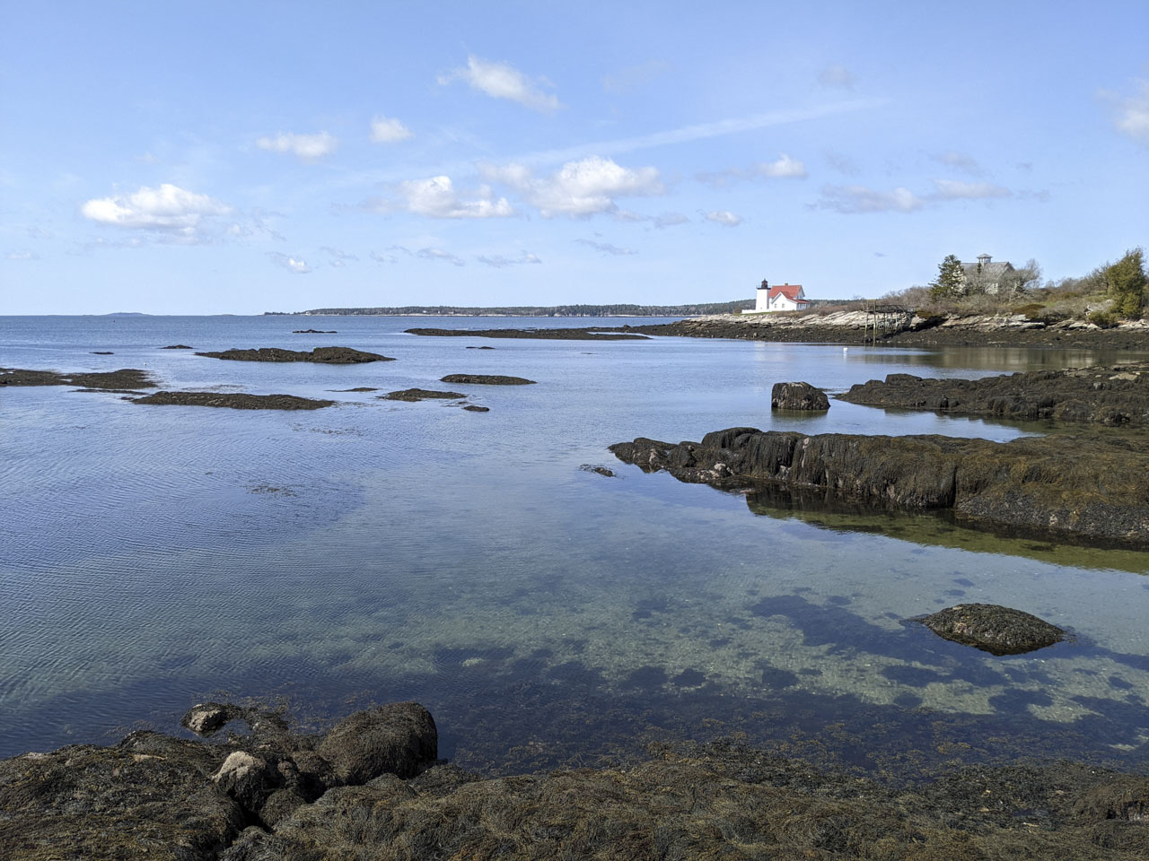
At a slightly different angle, from Ocean Point, you can see Seguin Lighthouse in the distance. This photo was actually taken from the same location as the earlier Ram Island Light photographs, from along Shore Road in East Boothbay. Distances are very difficult to tell over the open water. Cuckold is almost 3.5 miles away, and Seguin is over 10.5 miles away!
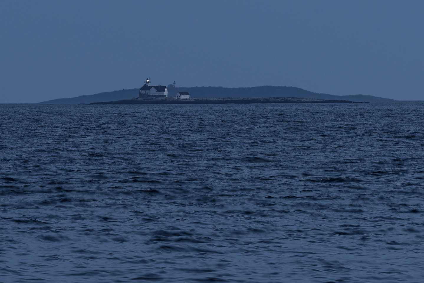
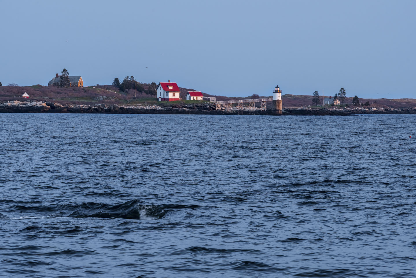
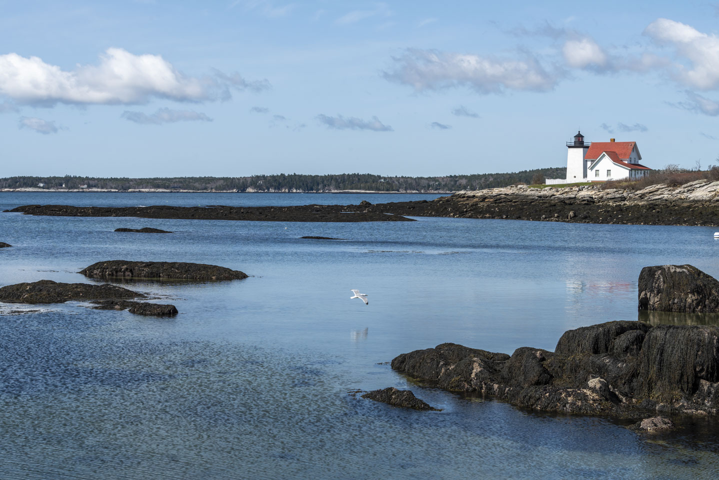
In the two-for-one evening photo, you can see the gap between Cuckold and a larger land mass (Southport); that is around a half mile. It looks deceptively closer in this next photo, taken from the Newagen town landing. The photograph also clearly shows how rough open water (in the distance) can be compared to the sheltered water (closer to us).
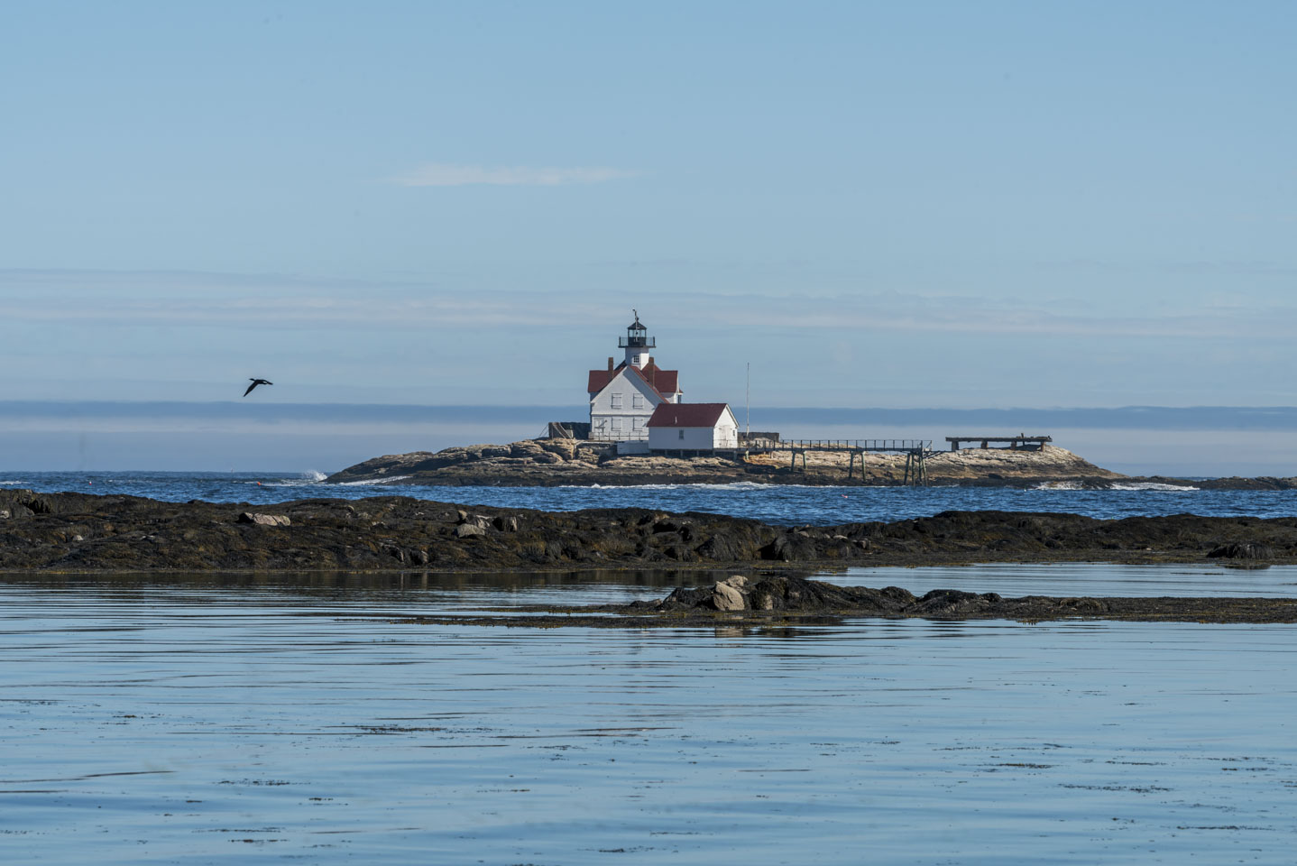
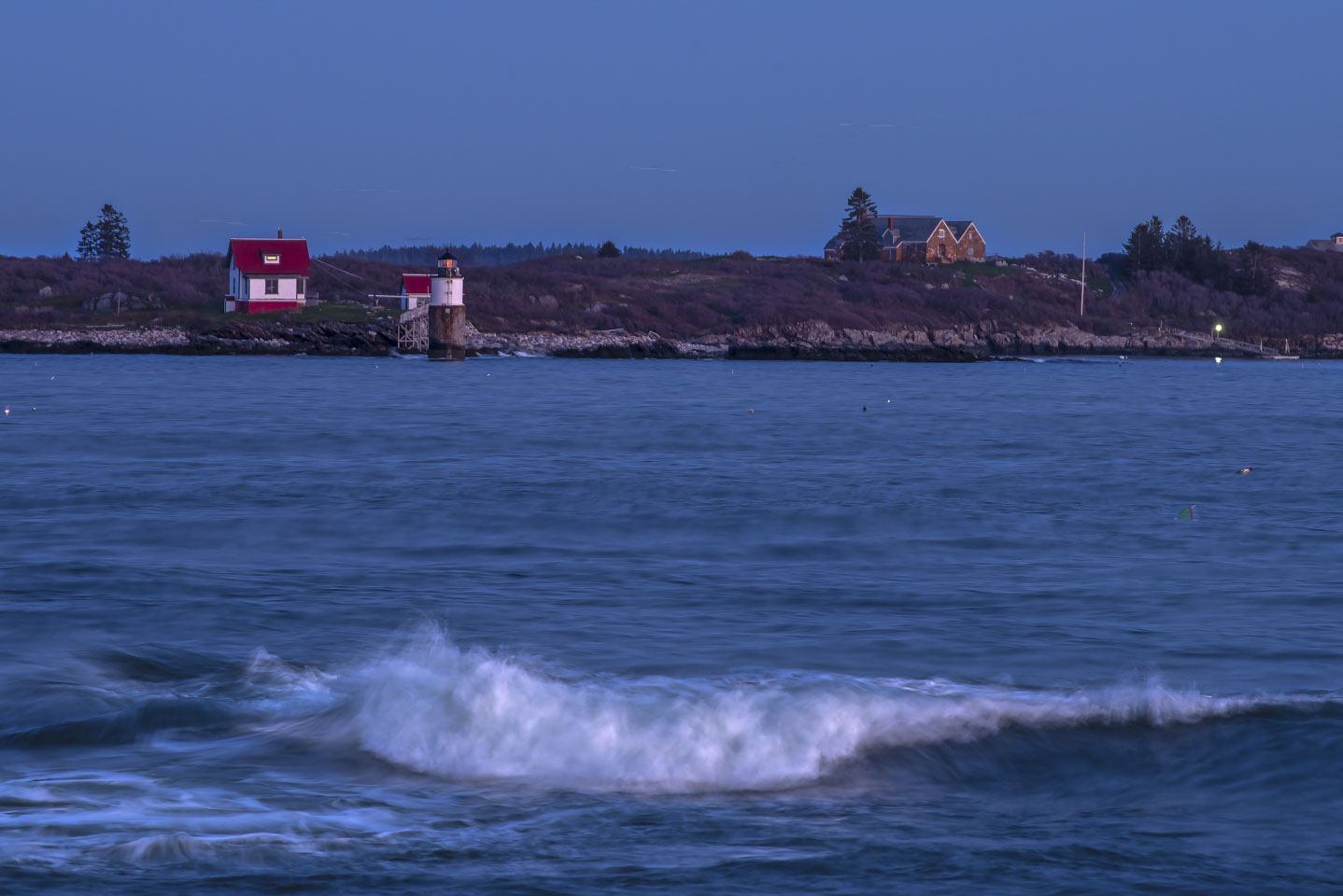
Not to be outdone, this picture makes it look like a person can walk to the lighthouse! (It was taken from the dock of Newagen Inn on the island of Southport.)
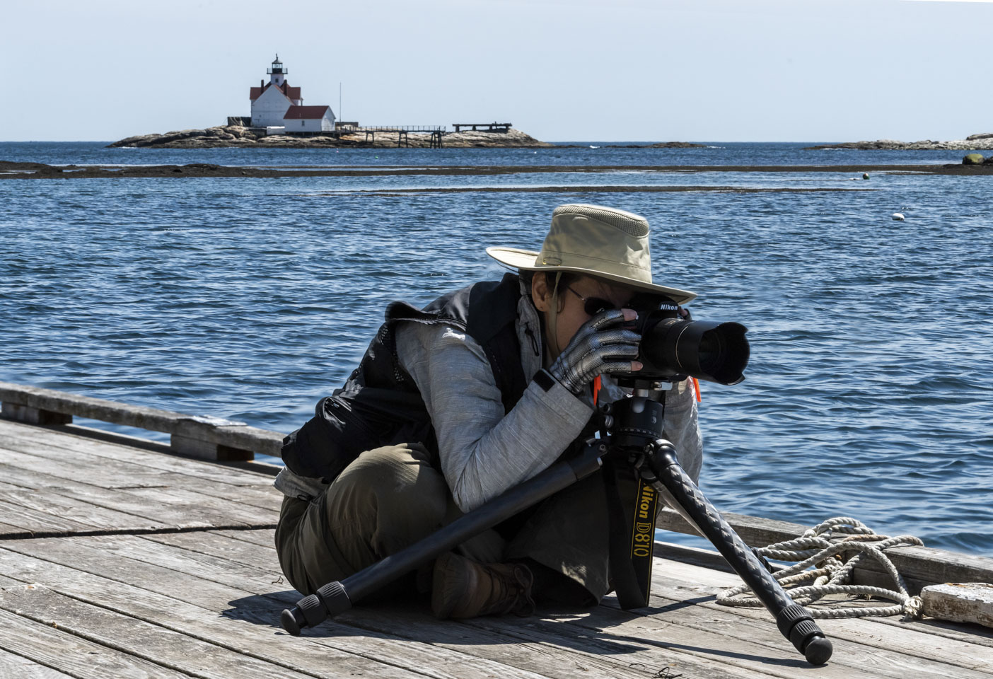
The lighthouse with the open sea provides a lovely view. So, what does Anne do? Sit looking the other way through her camera, of course. (And yes, it was chilly that day.)
Hendricks Head Light
Northwest on Southport Island is another lighthouse, Hendricks Head. While this one is accessible without using a boat, it is also privately owned so we aren't able actually go to it. This first photograph is a wide view from roughly the middle of the nearby beach. The water is shallow here. Note the land in the distance; the tip of it is Reid State Park. And the island way off in the distance is Seguin, as seen on the last page of ‘Coastal Scenes’.
And another, closer view.
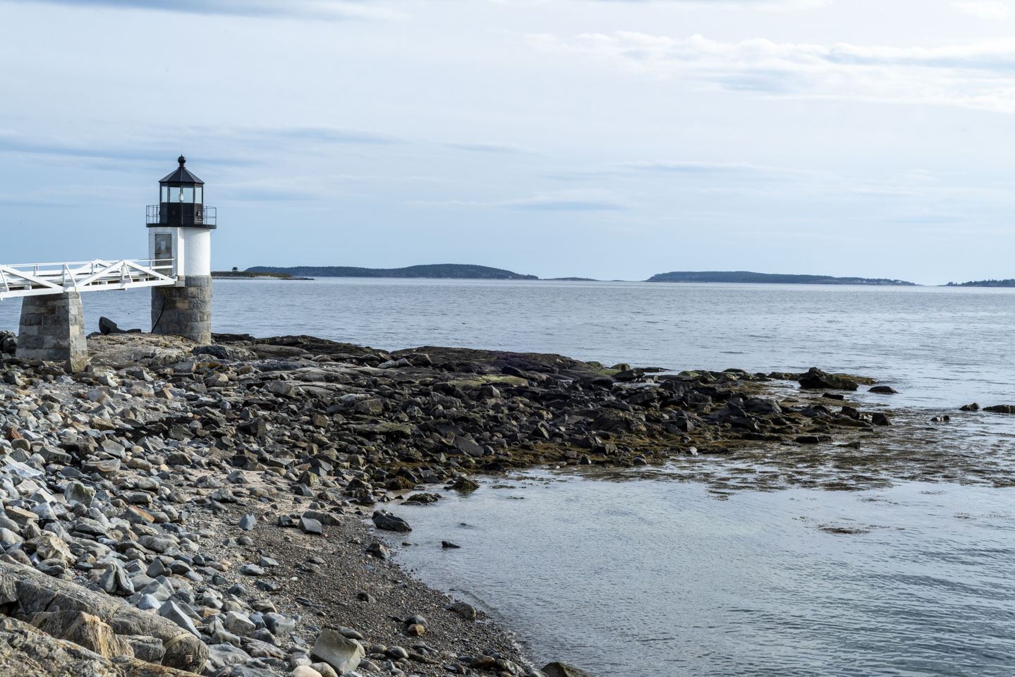
Marshall Point Light
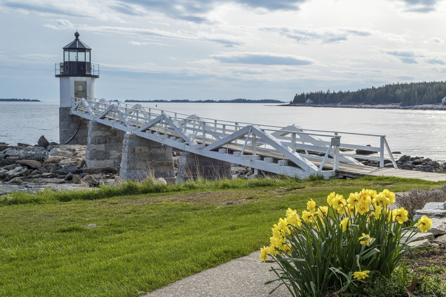
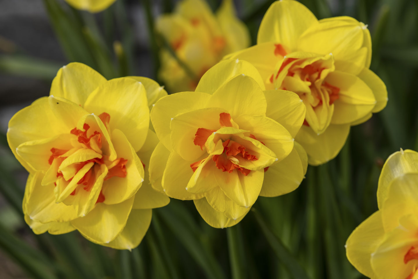
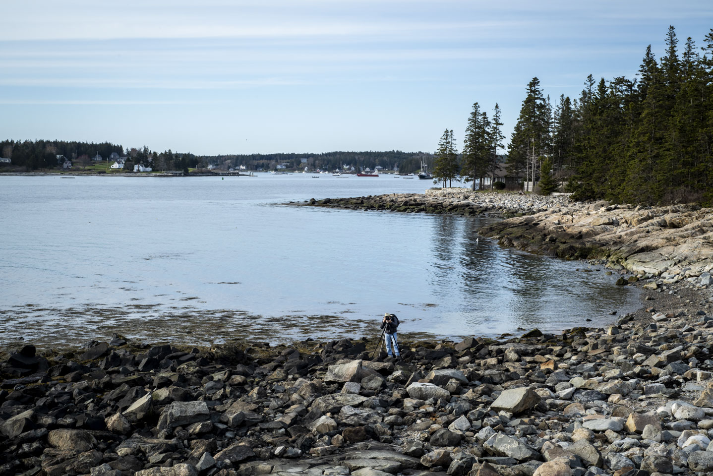
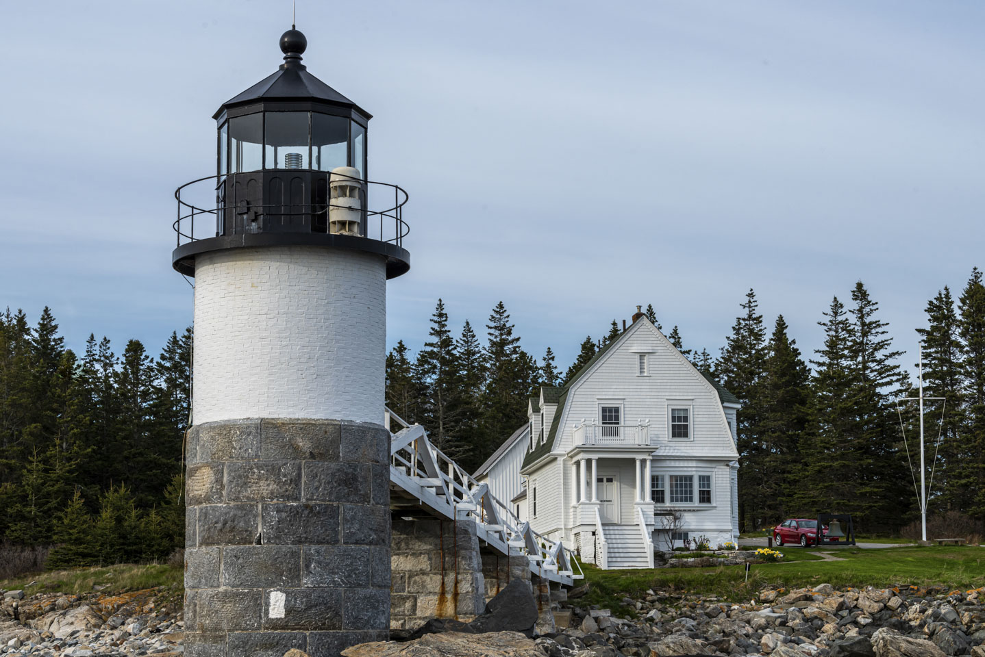
Another picturesque Maine lighthouse we like to visit is Marshall Point. Although we have shared pictures from this lighthouse before, we have a few different views of the spot this year. We will circle the lighthouse in a counterclockwise direction. This first view was taken when coming in from the parking area (northeast of the light). The daffodils that they have planted are beautiful.
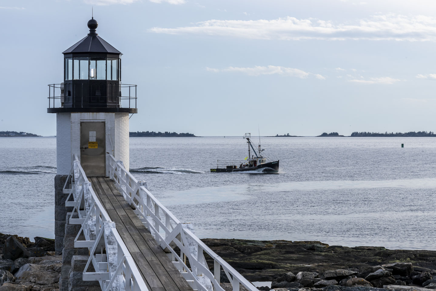
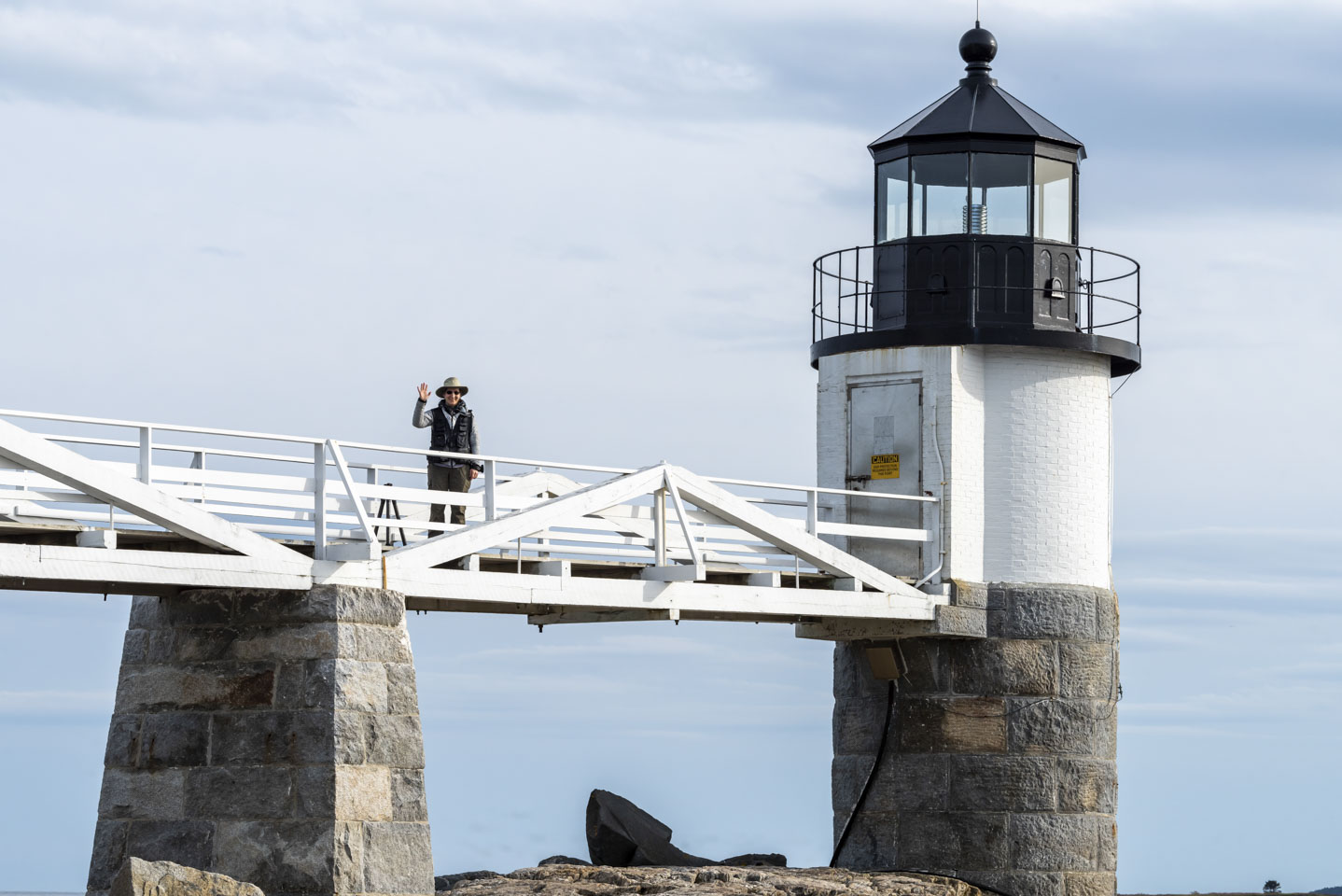
This is why Anne was on the walkway, to take a picture the opposite direction. That is of course Paul in the foreground.
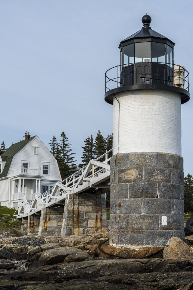
This picture gives a good view of the lightkeeper’s house, which is now a museum (that unfortunately has not been open whenever we have been there).
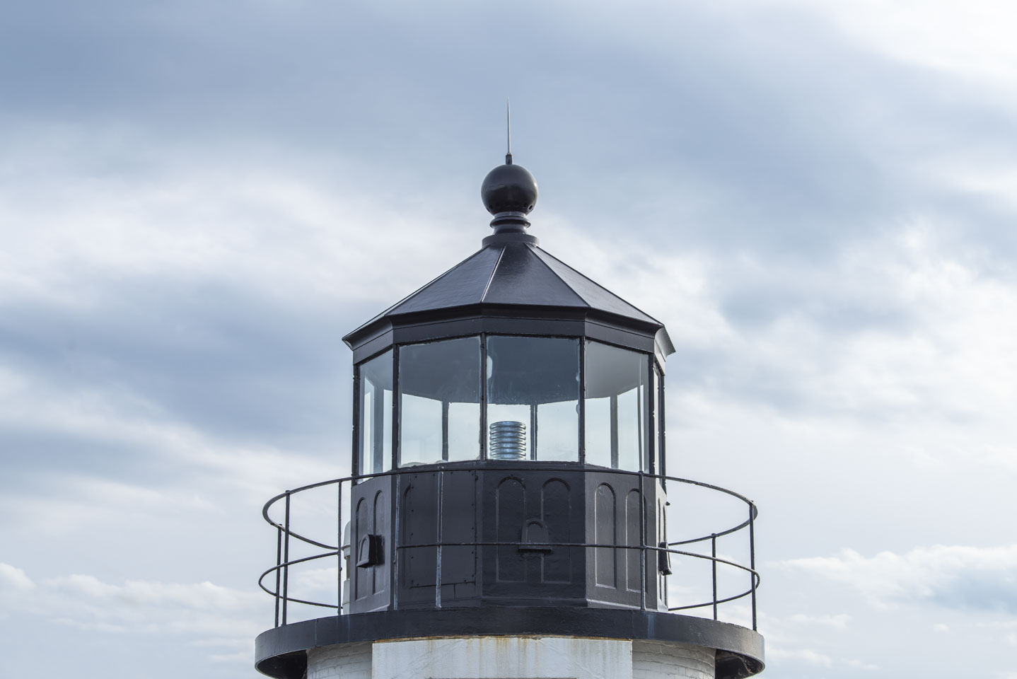
And finally, a close-up of the light itself.
Continued on a second page of lighthouses.
Updated April 2026