Coastal Scenes (Boothbay Harbor)
May 2022
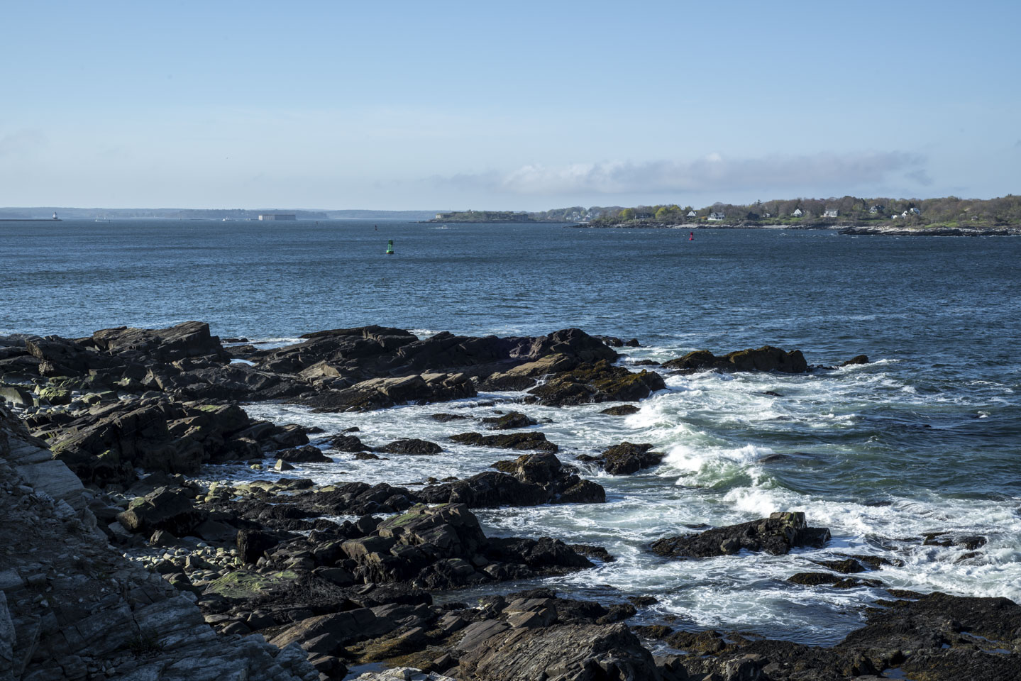
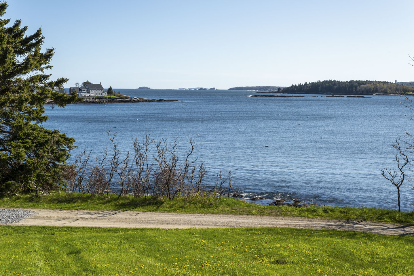
The coast of Maine has many peninsulas, or fingers. This means that Maine has a lot of coastline. Some of it is directly on the ocean, some of it is in bays, and some of it is along the broad rivers that flow off the land. This page will have some photographs of all of these. In short, this page has coastal scenes. We will start with a picture that is actually from near the Portland Headlight, not Boothbay Harbor, but exemplifies the rocky coast.
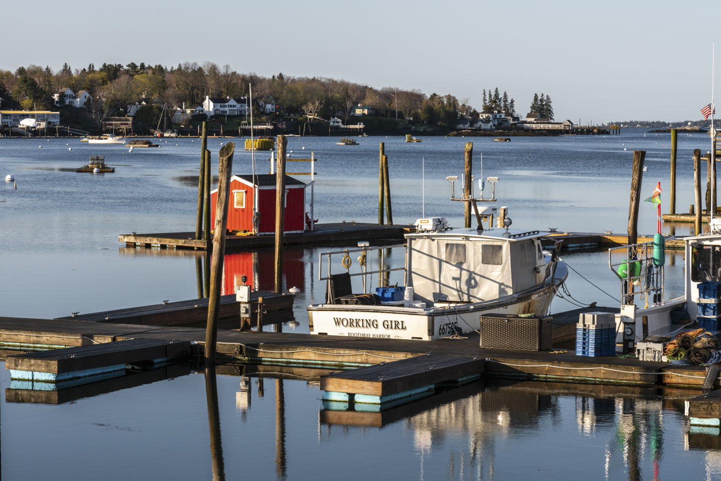
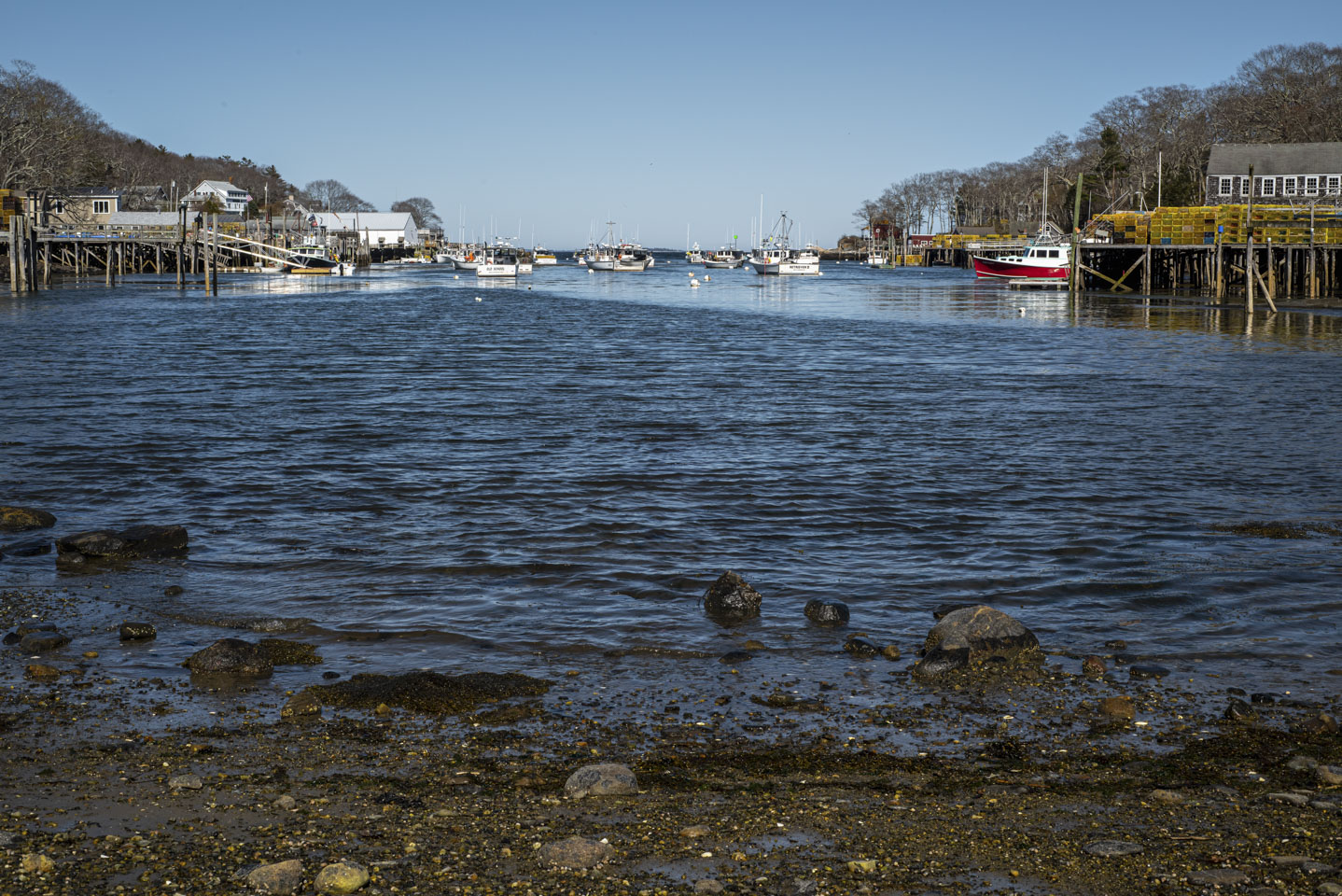
Jumping up to Boothbay Harbor, we have another classic type of Maine coastal scene - a working harbor. In this particular case, it is Working Girl in the working harbor.
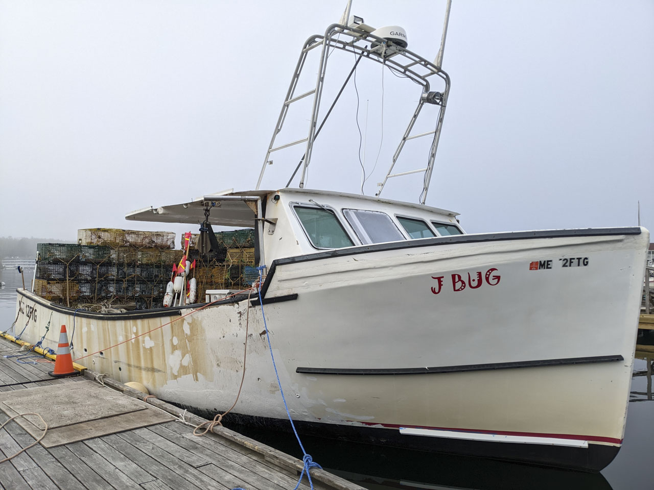
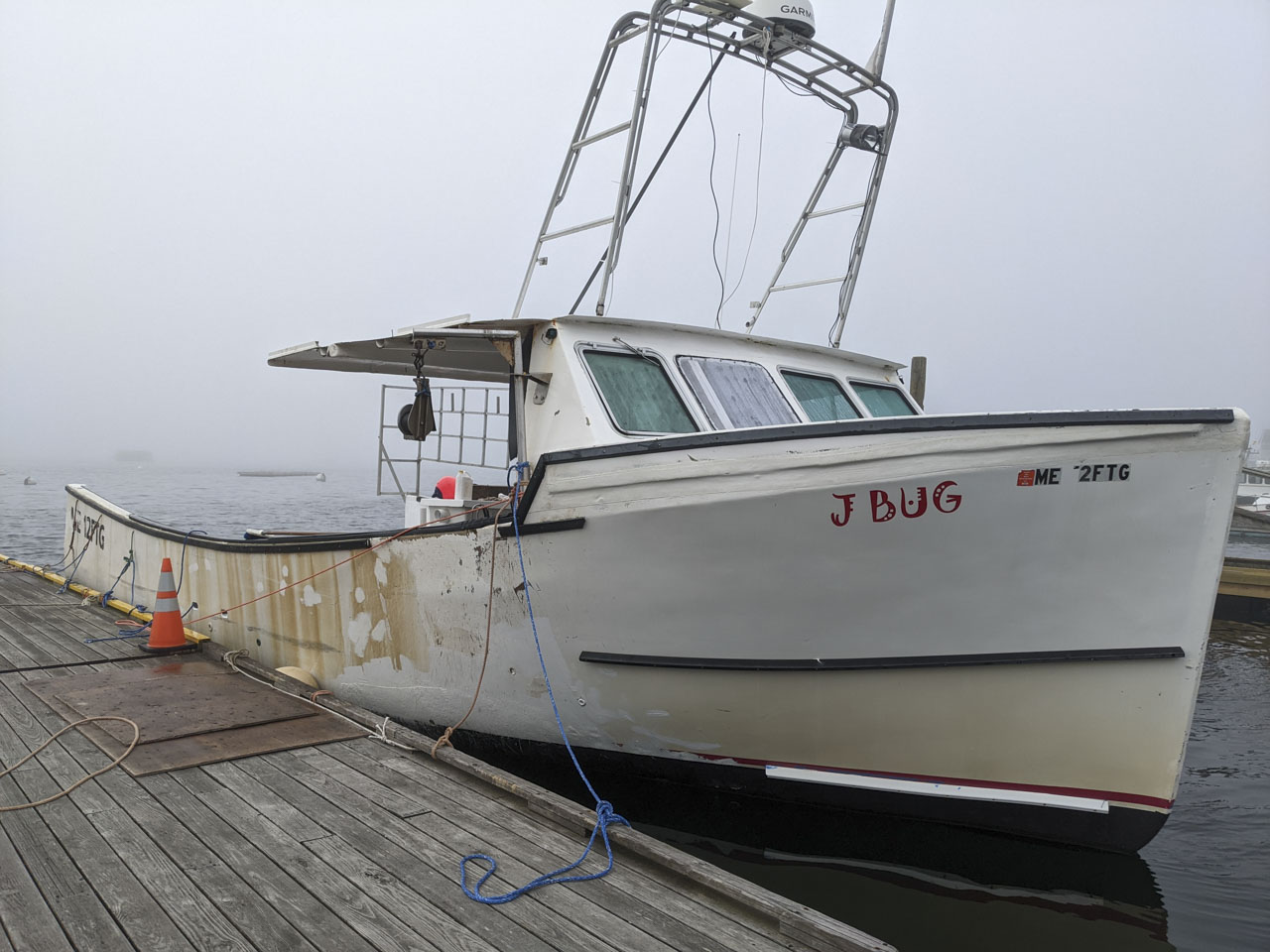
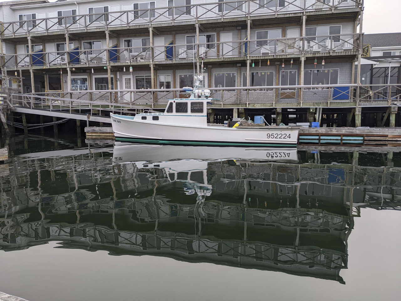
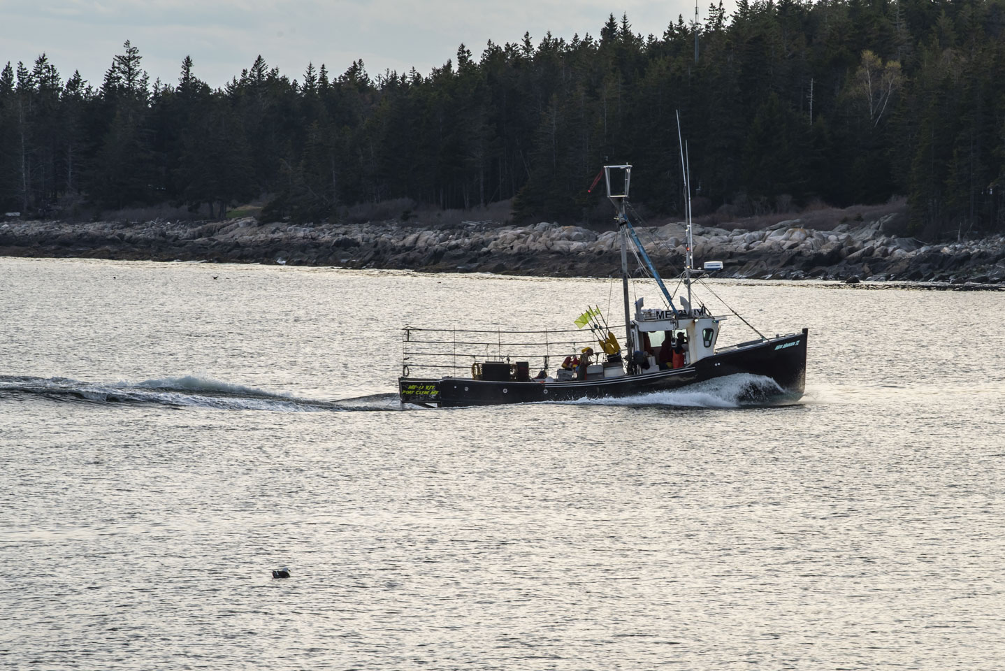
Few things say ‘Maine’ like a lobster boat. Put your cursor over the following photo for proof that it is a working lobster boat (pictures taken on different days). Lobster is the quintessential Maine seafood, but we have read that oyster farming is a growing endeavor and we saw some evidence of that in some of the rivers.
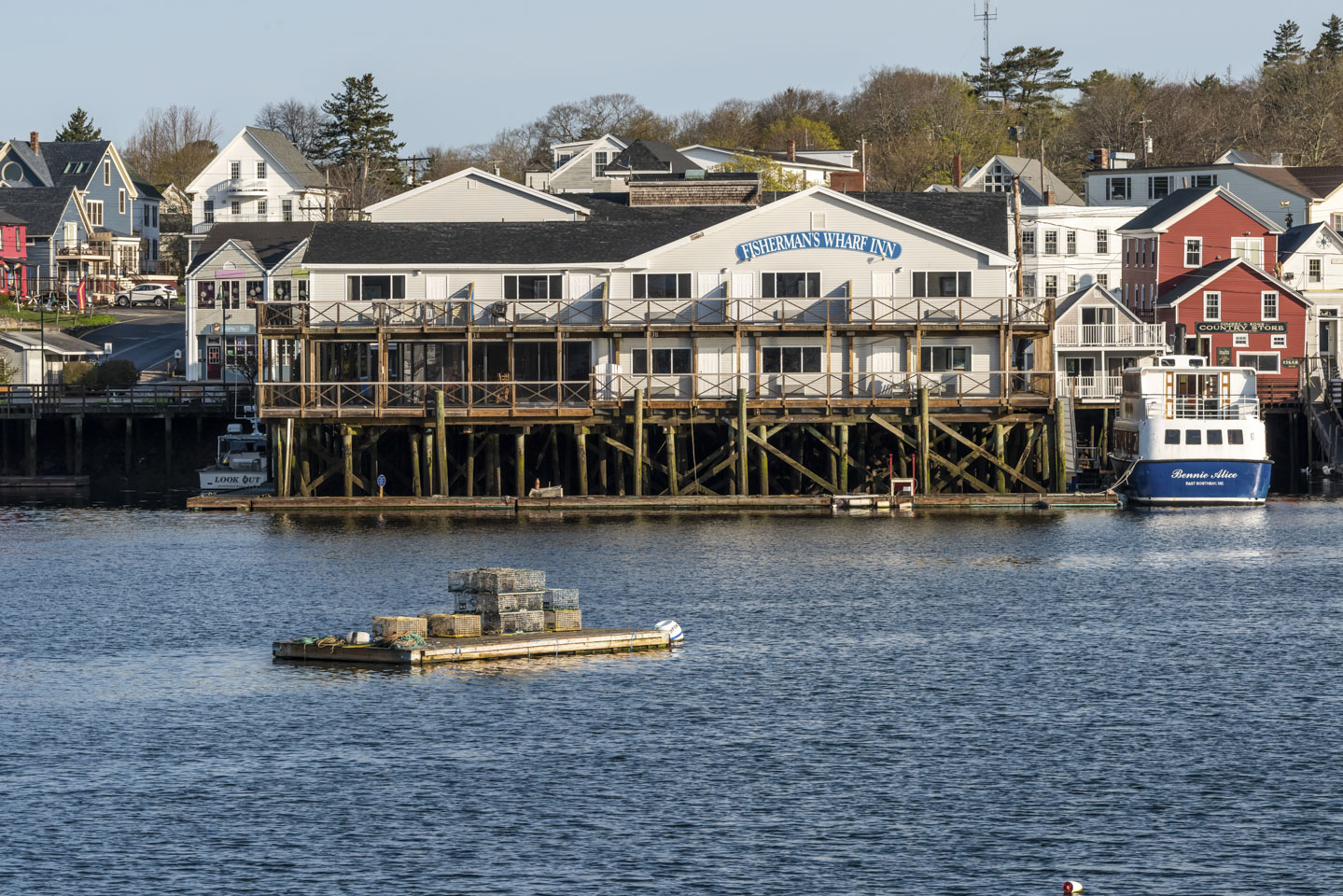
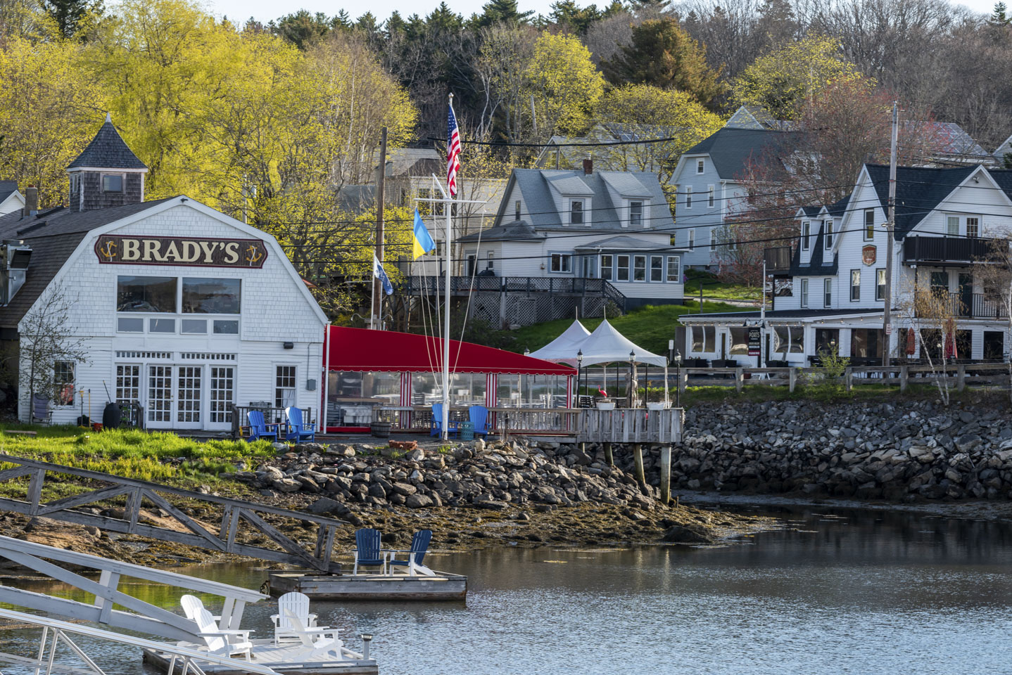
Of course Boothbay Harbor is a tourist destination as well as a working harbor, so there are plenty of inns and restaurants along with water. The restaurant in the second photo (Brady’s) is at the head of the harbor, and has the Venus statue shown in pictures on the previous page. In the right of that same picture is Ports Pizzeria (mentioned on the 1st page of this trip report).
Here is a bit of an optical illusion for you. The reflections in the water make it look like the water is bending.
Here is another lobster boat, this time over by Marshal Point Lighthouse.
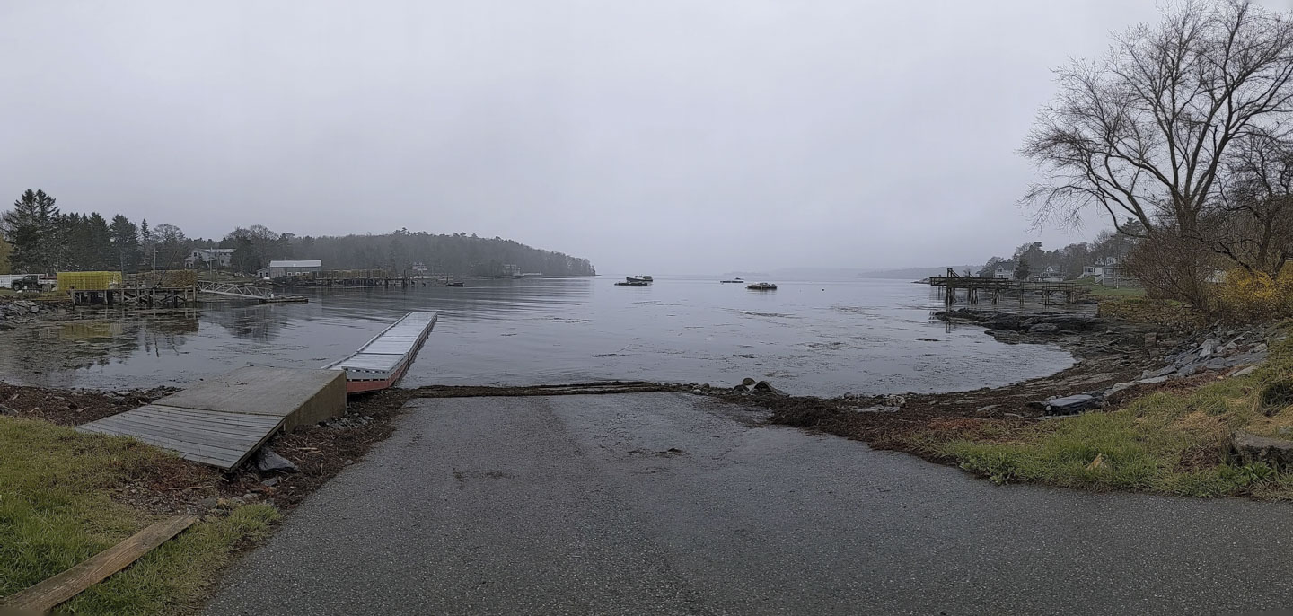
And here is a view of the Linekin Bay Boat Launch, which is in East Boothbay.
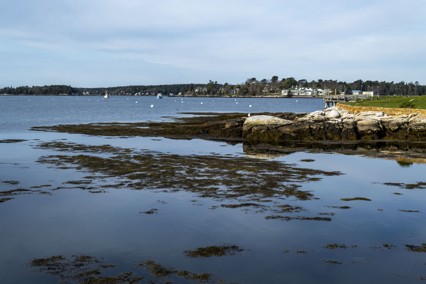
Of course, all of the peninsulas have harbors, docks, and boat landings of various types and sizes. On the Bristol peninsula (the one just north of the Boothbay peninsula) is New Harbor.
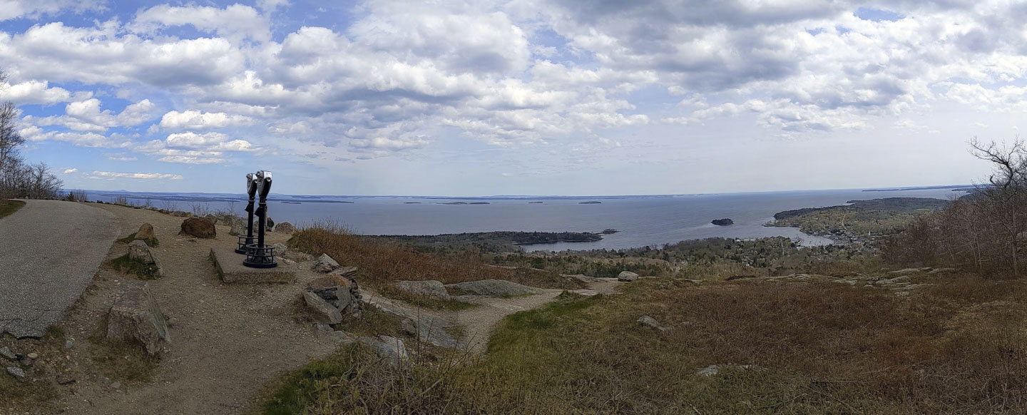
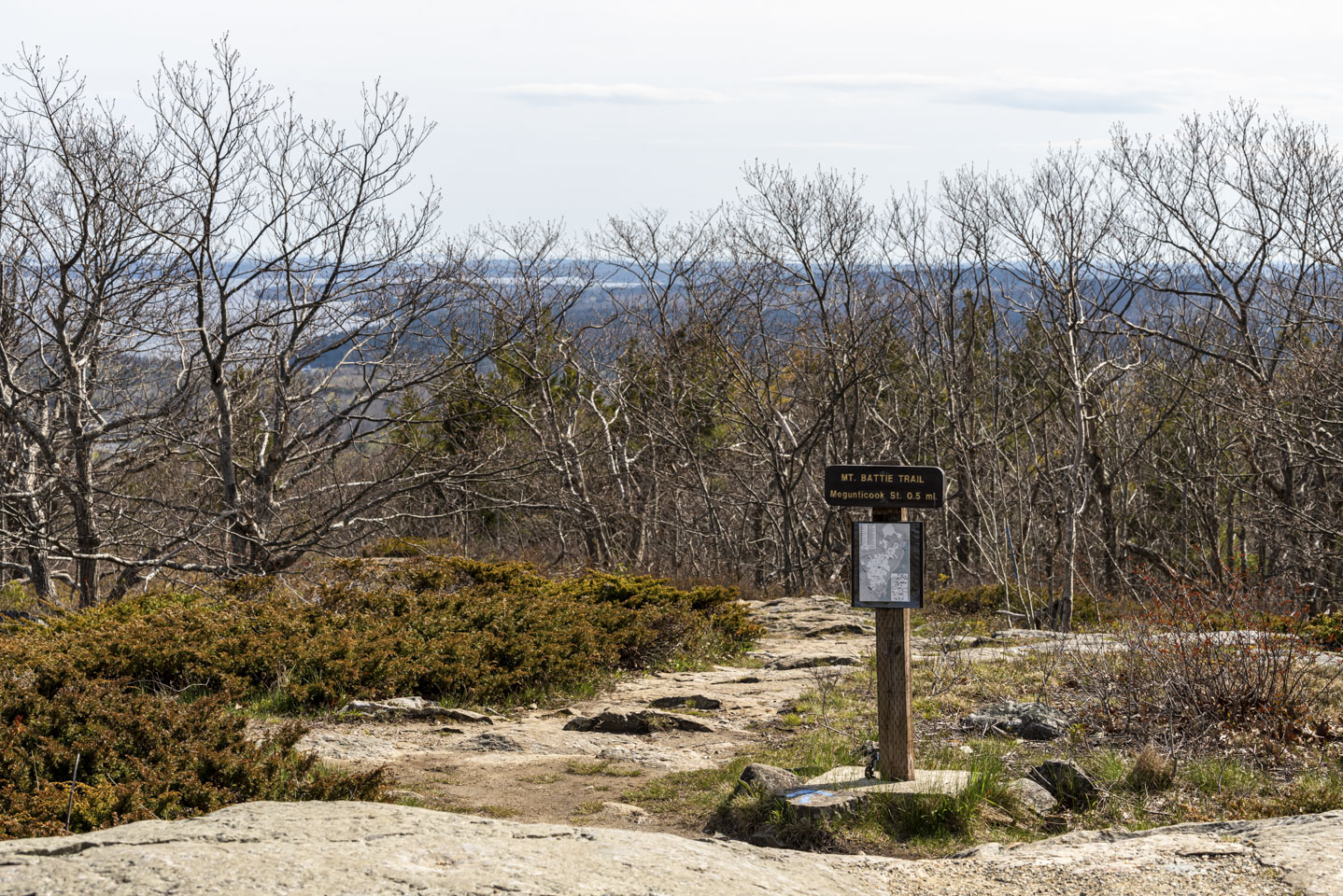
Further up the coast is Camden Hills State Park and Mount Battie. The top of the mountain, which is accessible with either automobiles or hiking trails, provides a nice vista of Penobscot Bay, islands, and the ocean.
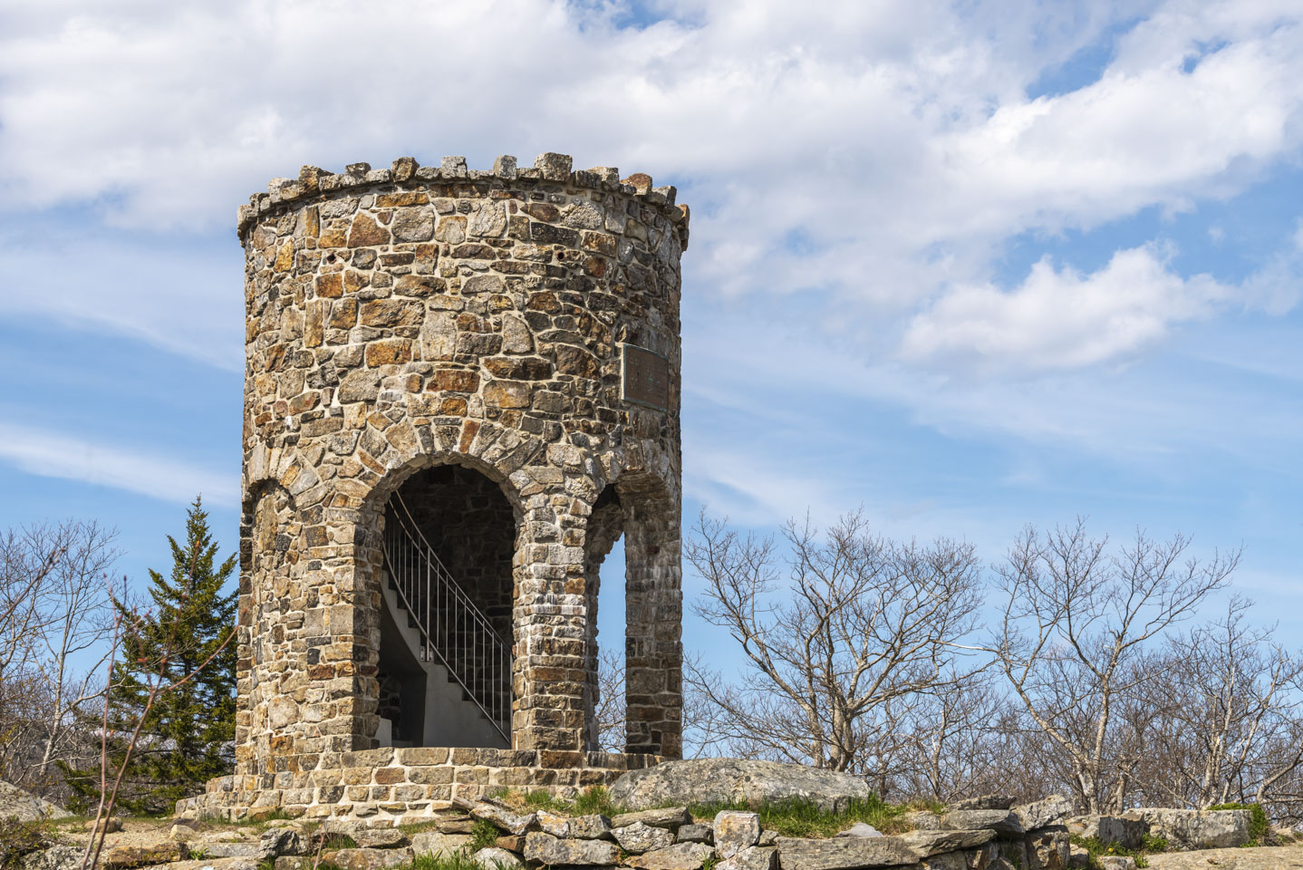
The view tower not only provides a nice spot for viewing but is also rather picturesque. Note the fancy stairs inside the tower. For a short history of the tower, you can go to this website.
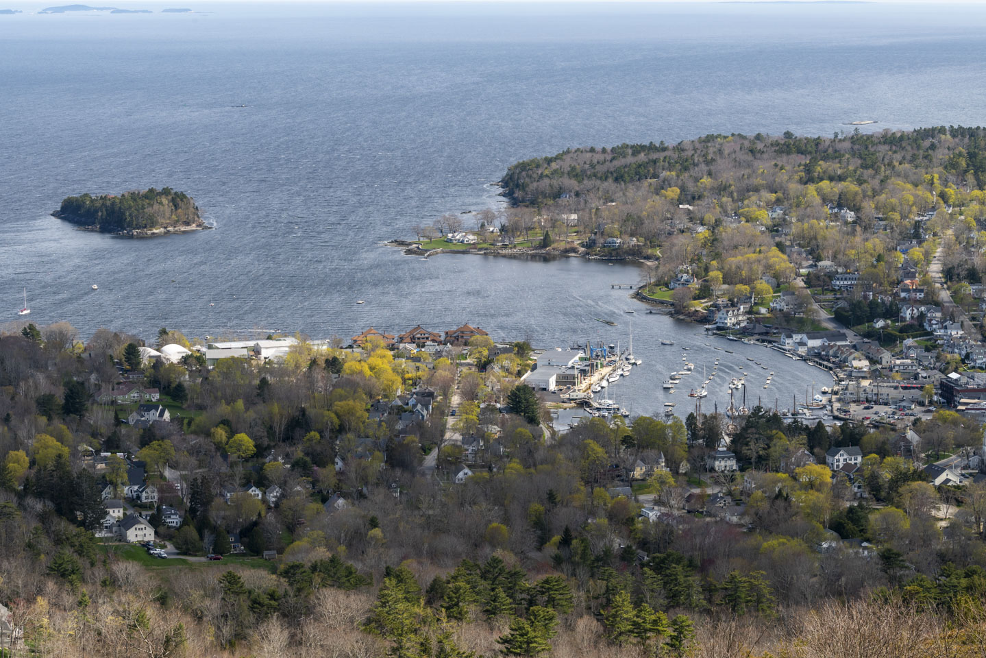
Camden, with all its little (and big) houses and sailboats looks very quaint from on top of the mountain.
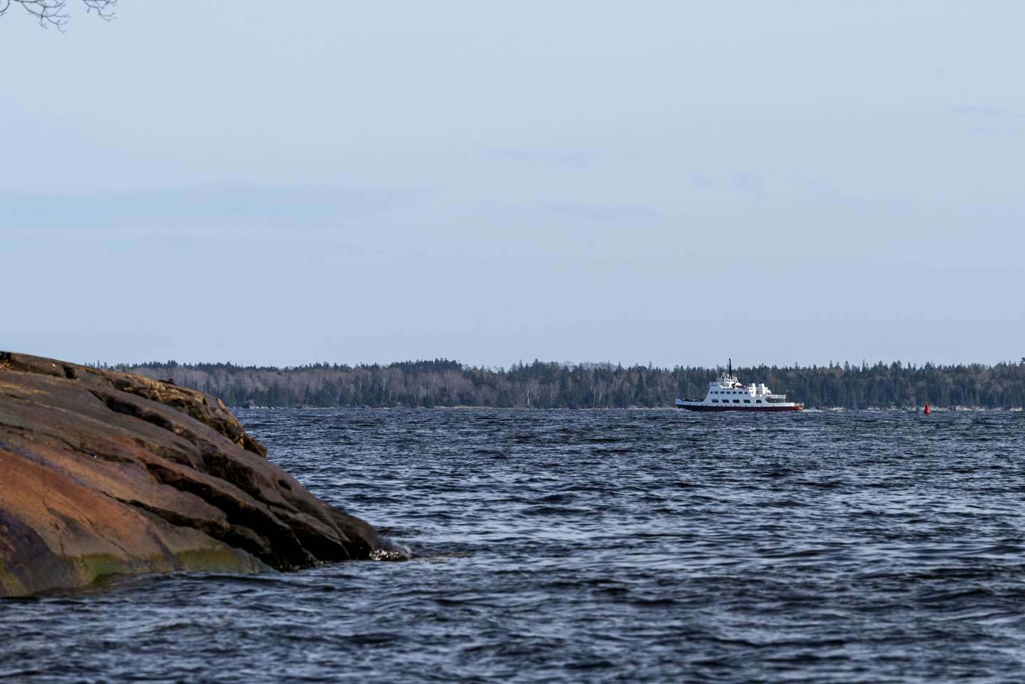
Just north of Camden is Lincolnville. The Lincolnville Ferry takes regular trips to the island of Islesboro and back.
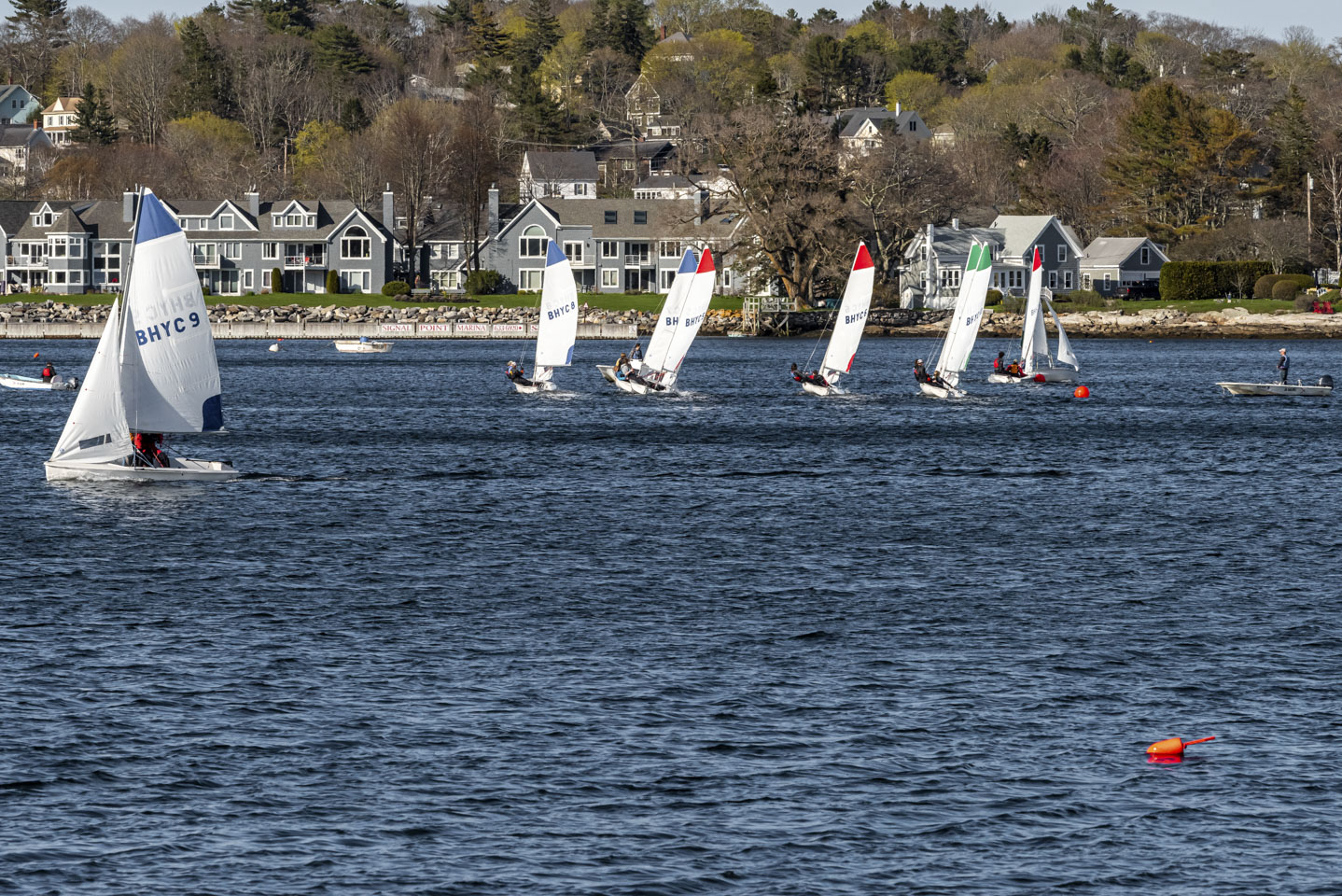
Speaking of sailboats, sailing is more difficult than it looks. According to various websites, boats with tiller steering are often recommended for beginners because they are less expensive and very responsive. The Boothbay Harbor Yacht Club has many of these that they use to teach novice sailors. We could tell it was difficult because more than once we saw a boat had gone over on its side and dumped the occupants into the water. They were smartly wearing dry suits; this was early May and the water was very cold.
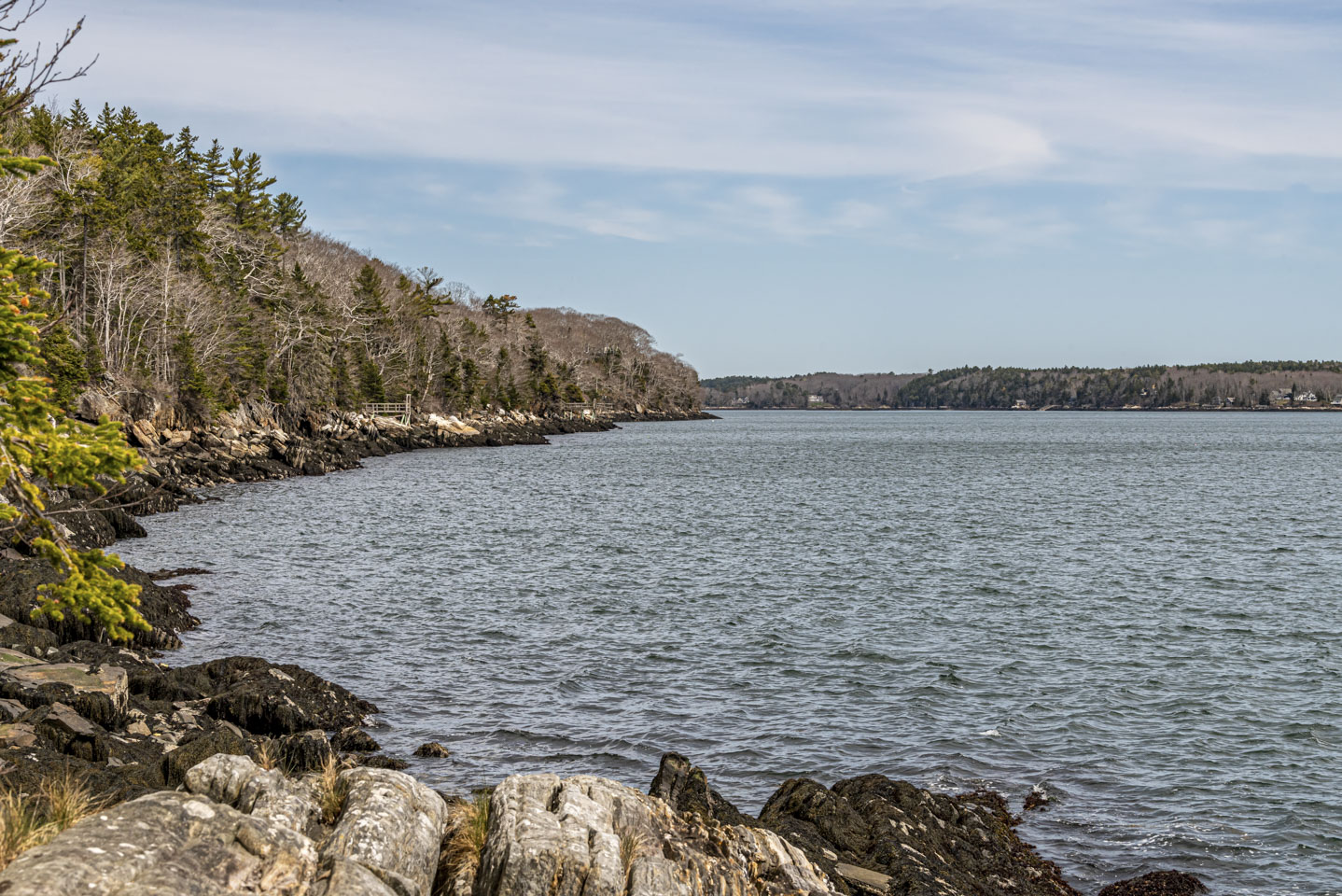
Many of the area preserves have walks through the woods down to the shore. This is a view of the wooded shoreline of the Linekin Preserve, looking upstream along the Damariscotta River.
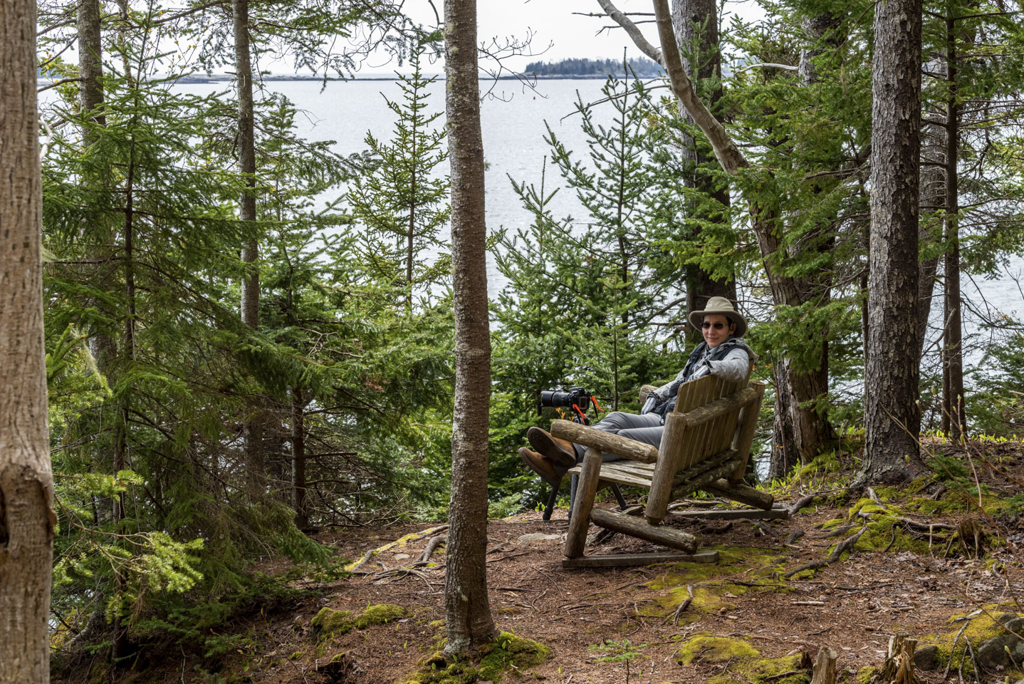
They also provide benches at some spots to relax. Don't get too comfortable on this bench, though; the seat has seen better days.
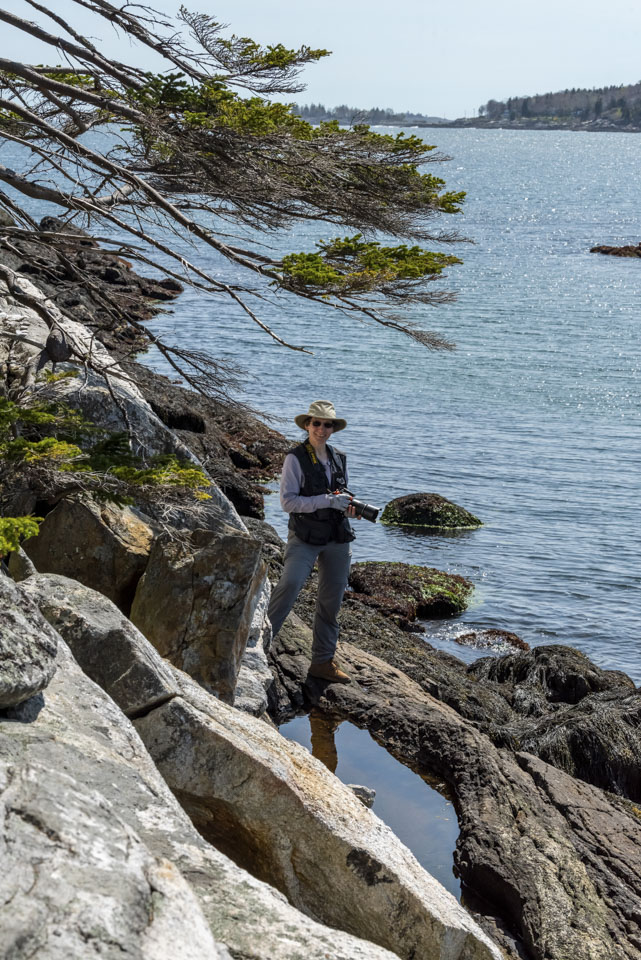
We have another picture of Anne on the shore opposite Linekin, at the end of a lovely short walk called Rutherford Island Preserve. (Rutherford Island is part of South Bristol.) This view is looking downstream along the Damariscotta River.
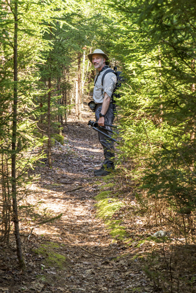
The preserve was small but had a big variety along the trail, including this part where the trees provide a canopy over the trail.
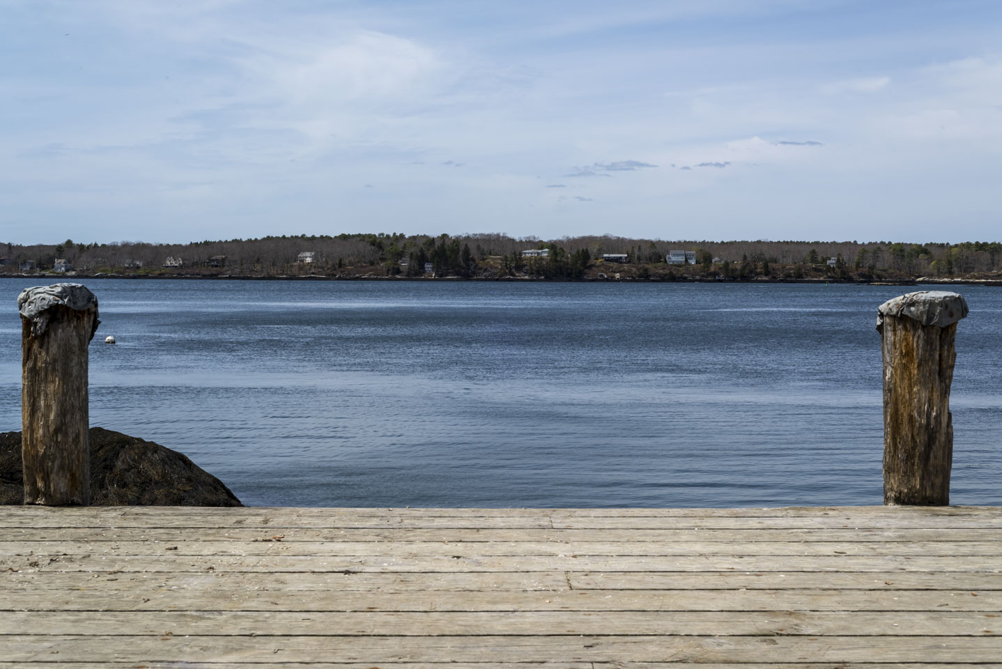
Higher up on the peninsula from Rutherford Island is Plummer Point Preserve. This is a nice slightly rugged walk through woods and to the Damariscotta River. Here is a view looking up the river from Plummer Point.
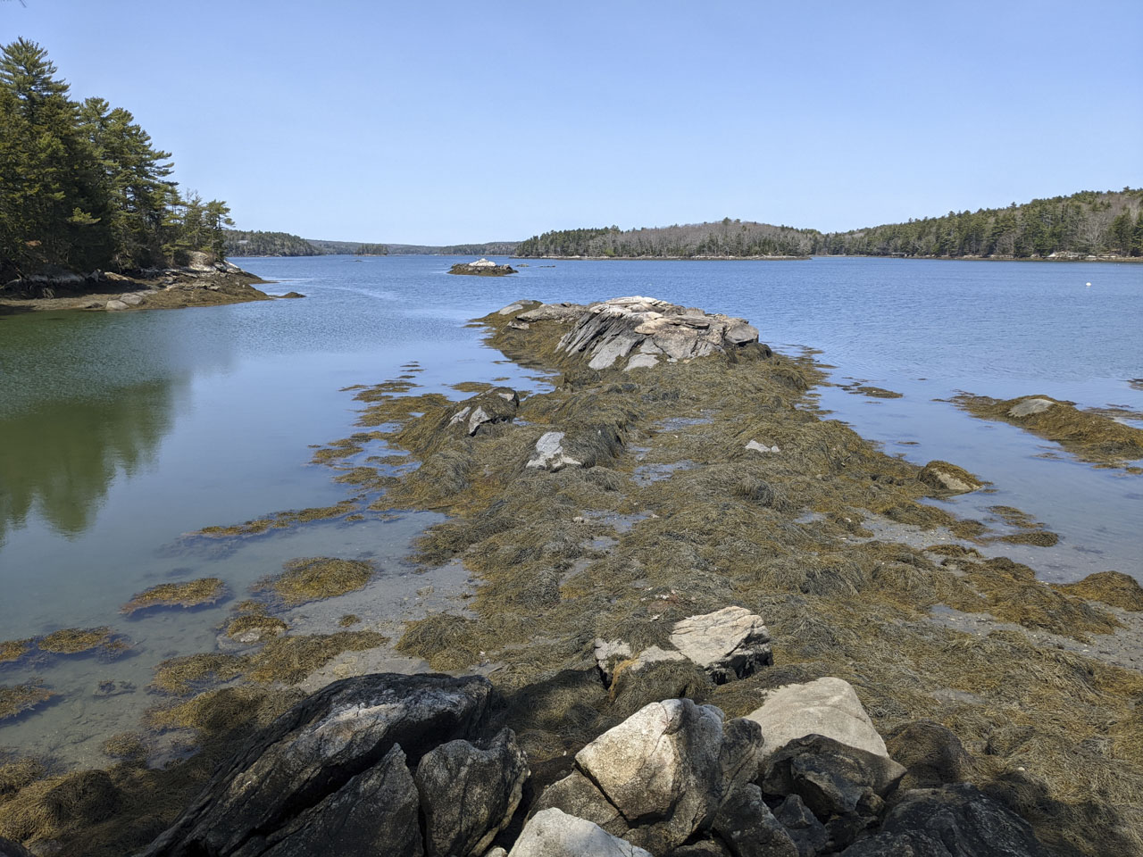
Another view out from some woods to the water. This photograph was taken at Porter Preserve on Barters Island and the Sheepscot River.
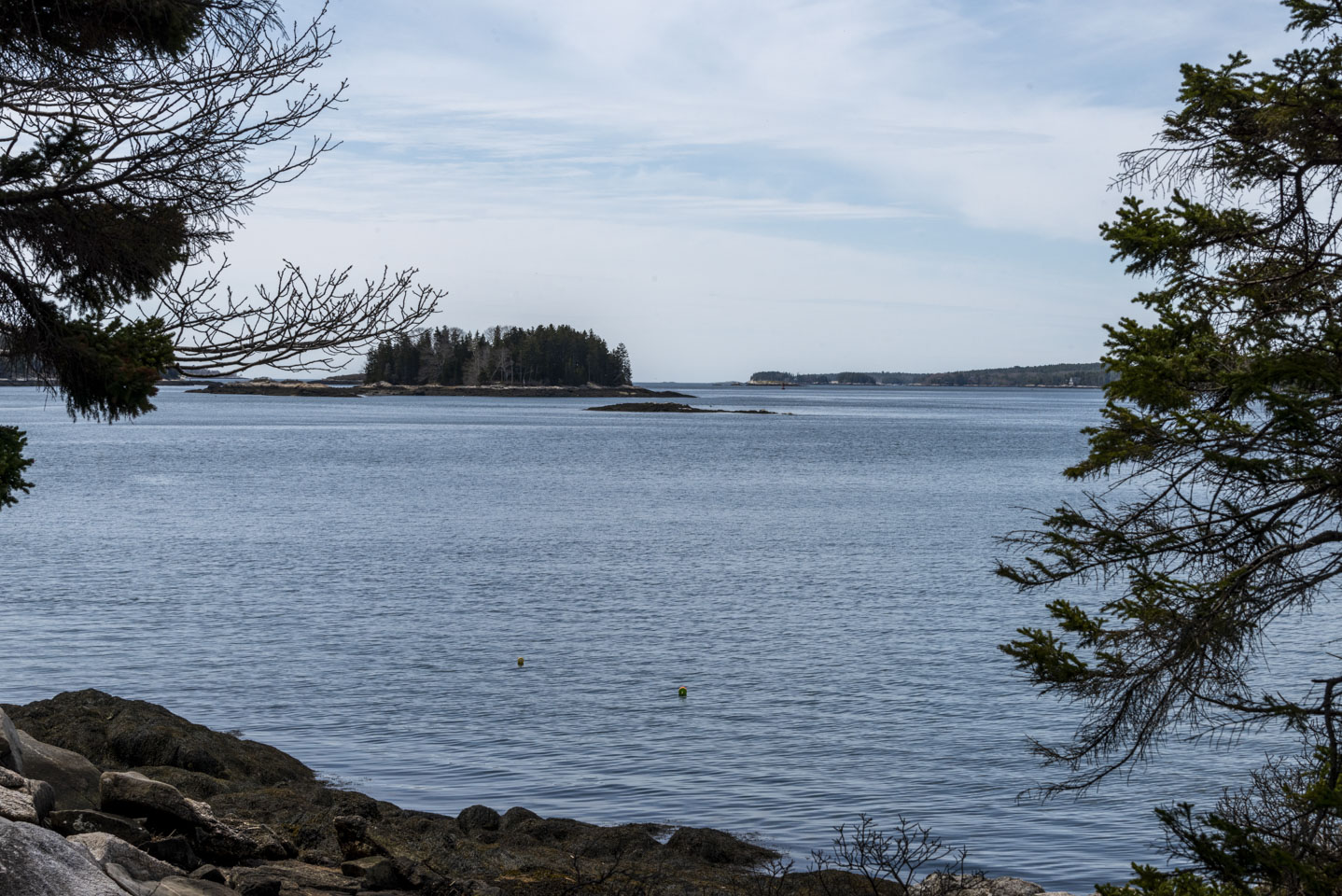
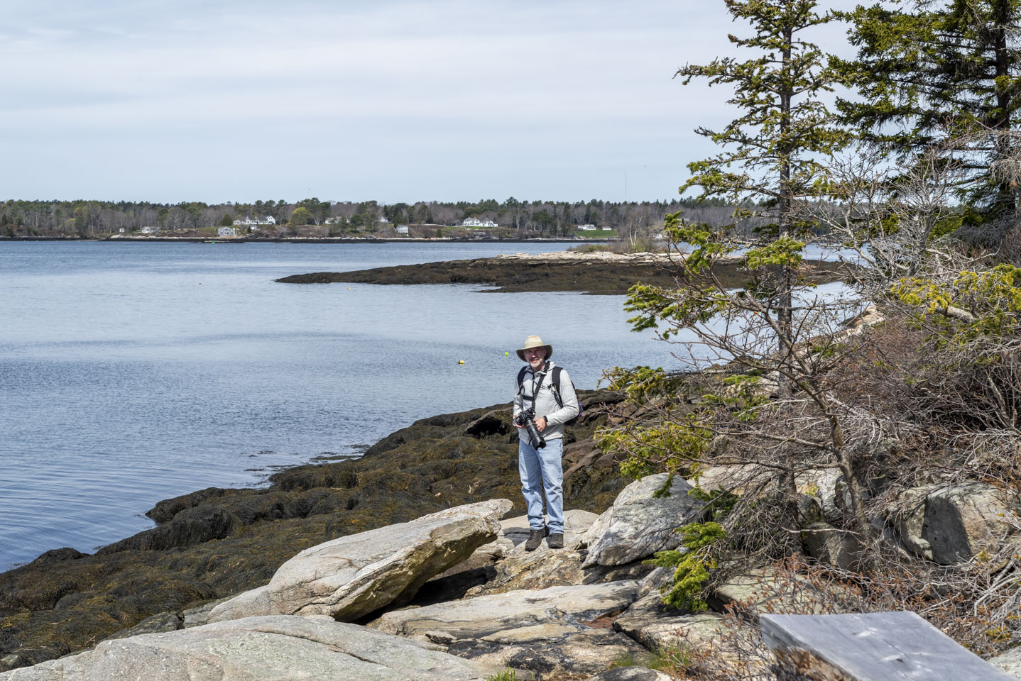
Another couple other views of the water from Porter Preserve (one including Paul).
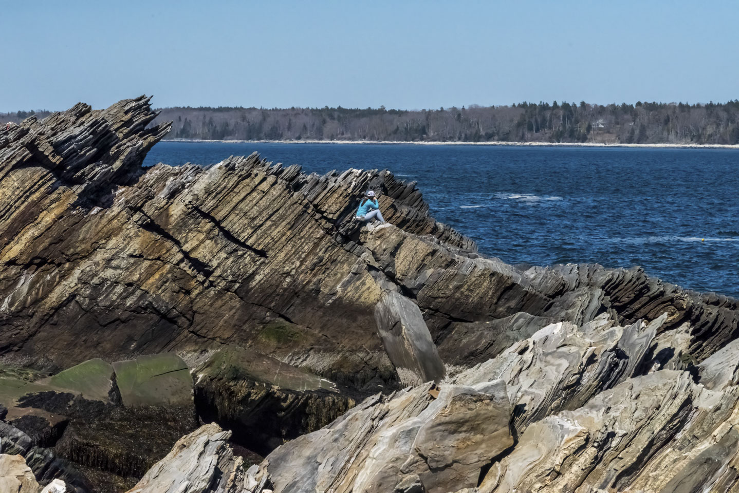
So you don't forget how rocky the Maine coast is, this next photo can give you some perspective. A couple was there enjoying the view. (You can only see the hat of the man.)
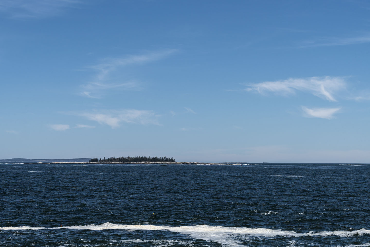
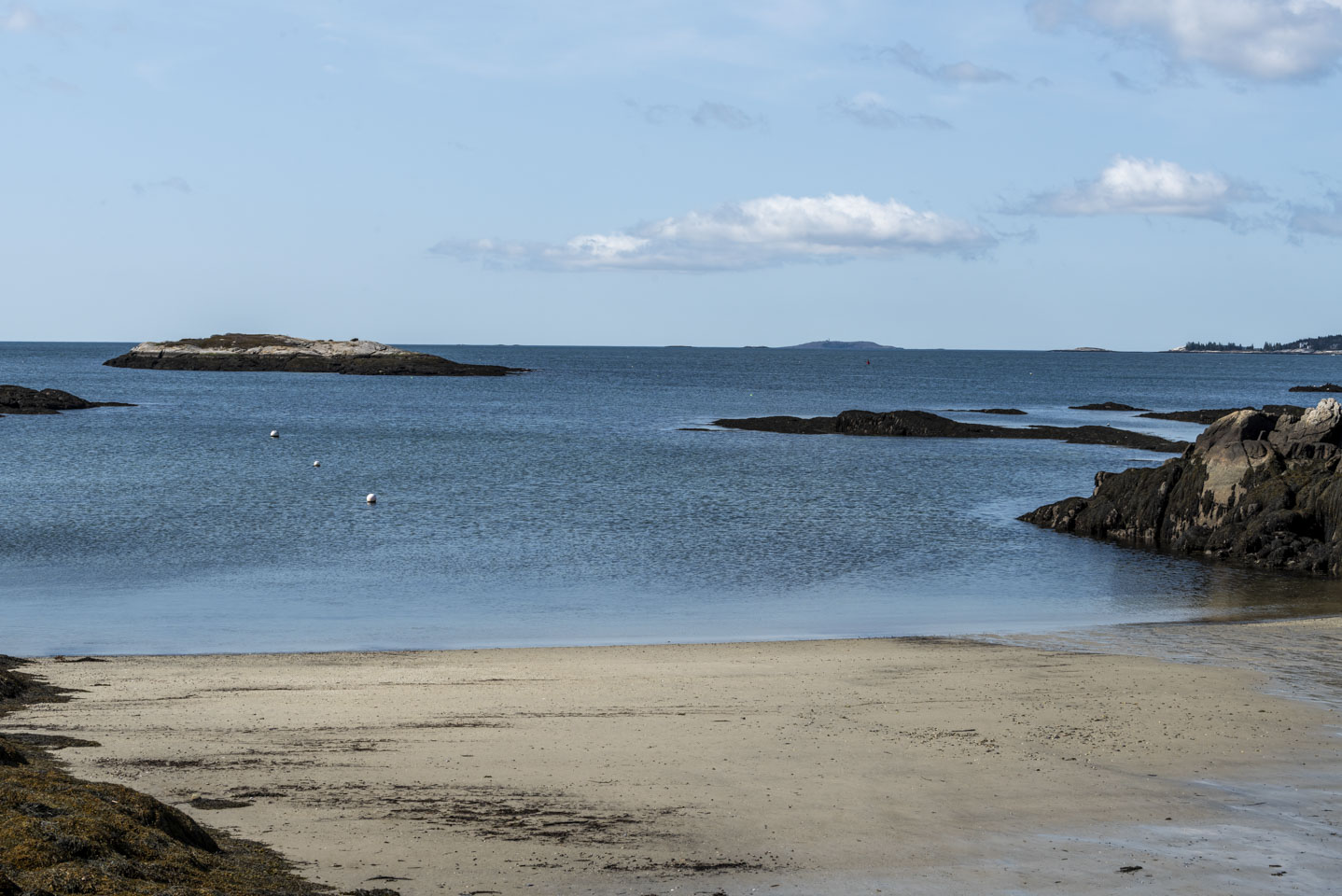
A few more pictures out into the water, from LaVerna Preserve, Boothbay Harbor, and Fort William Henry (respectively).
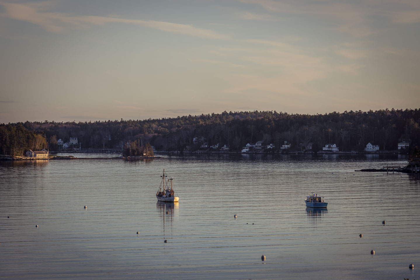
Looking at the harbor, in the last light of day.
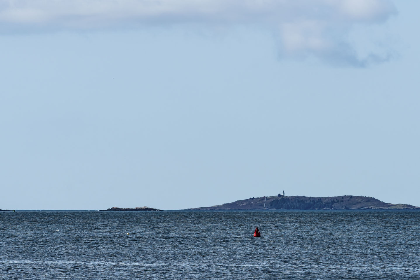
This final view is from next to Hendricks Head Lighthouse (to our right when taking this photo). In the distance you can see Seguin Lighthouse; put your cursor over the photo to get a closer look at it. Seguin Lighthouse is the highest lighthouse in Maine, and is located off of Popham Beach. The lighthouse is just under 9 miles from where this photo was taken.
On to Page 4, where we get a bit nerdy.
Updated April 2026