
Boothbay Harbor: The Shore (1 of 3)
May 2015
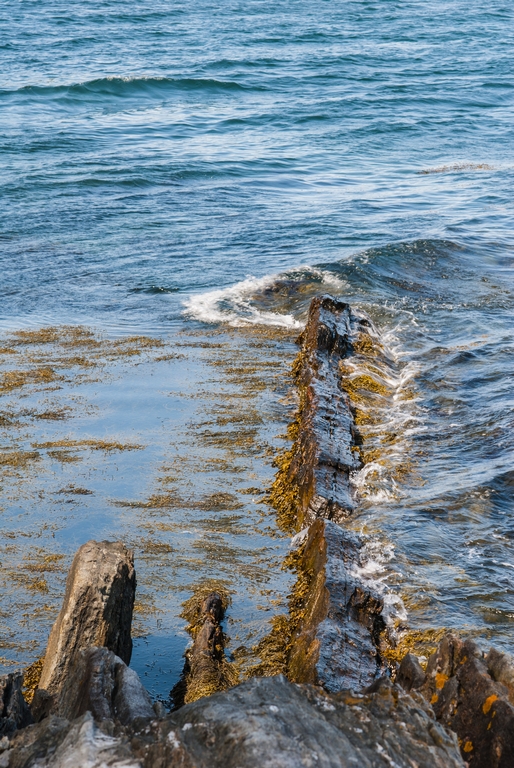
A huge aspect of Maine is, of course, the coast. And Boothbay Harbor has a lot of coast. It also has a lot of preserve trails. Many (but not all) of these are due to efforts of Boothbay Region Land Trust. We certainly used a few of their trails on this trip.
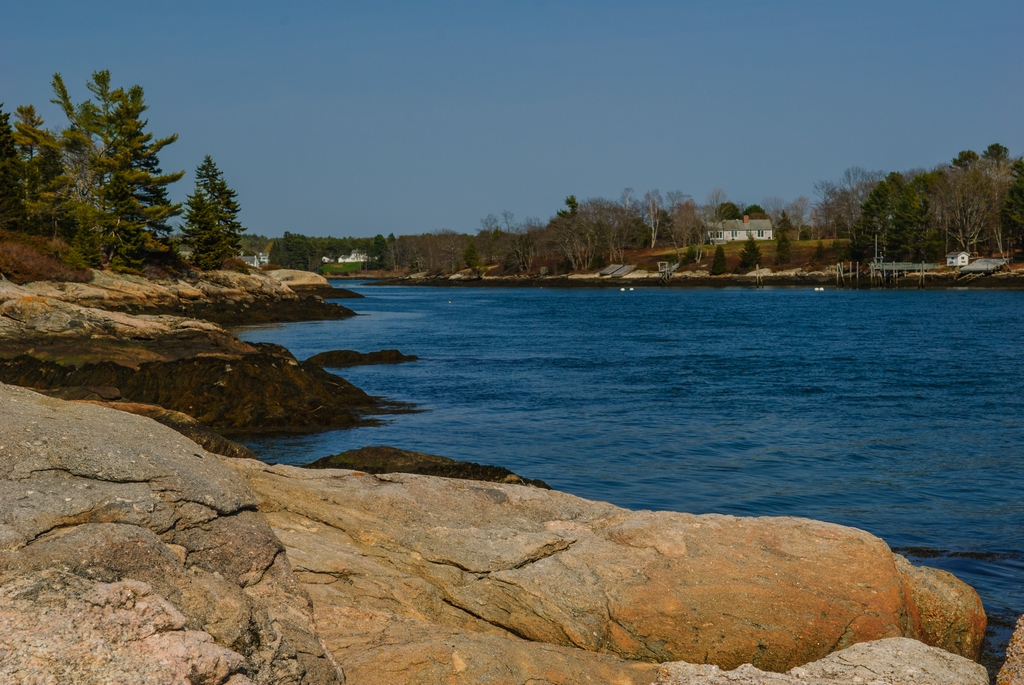
First we would like to present you with another fine opportunity for purchasing a home in Maine. This one looks to be a two-for-one special; it includes a boat.
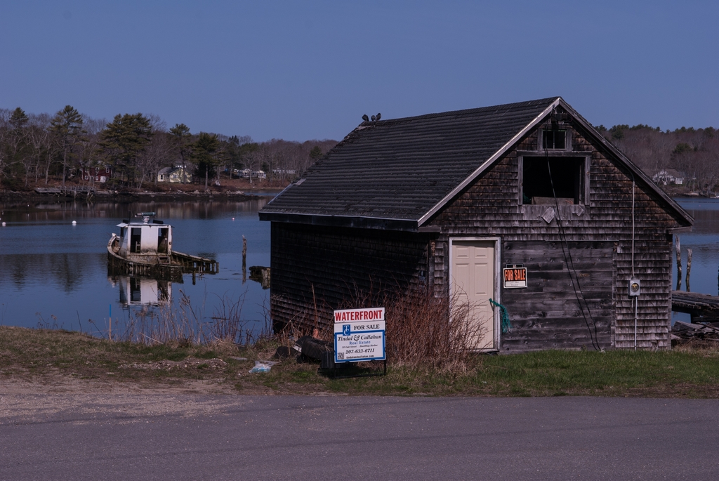
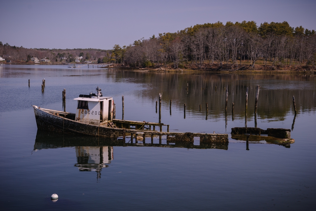
(This happens to be on the tidal river that borders the Botanical Garden.)
Given Maine's rocky and corrugated coast, we saw many lighthouses - some famous, and some less well known. Our first evening in the area found us at Ocean Point, where we saw the Ram Island lighthouse.
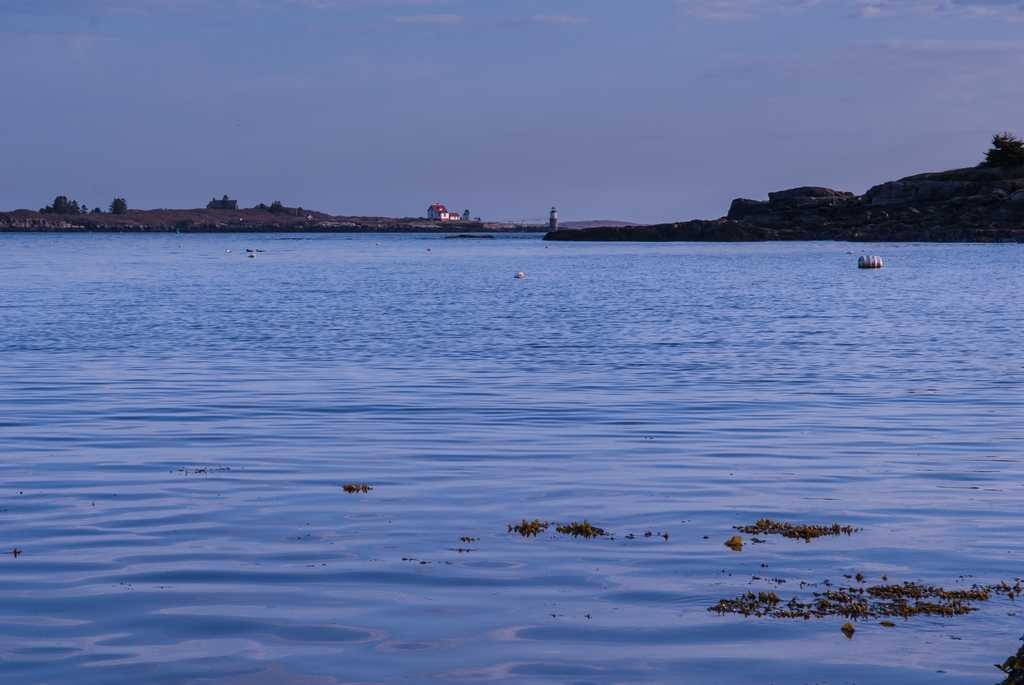
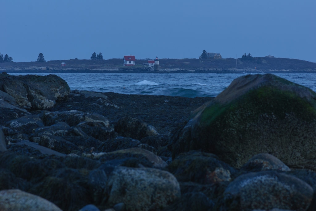
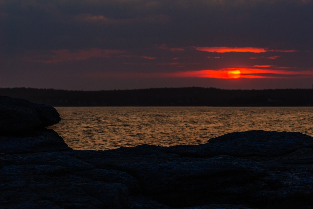
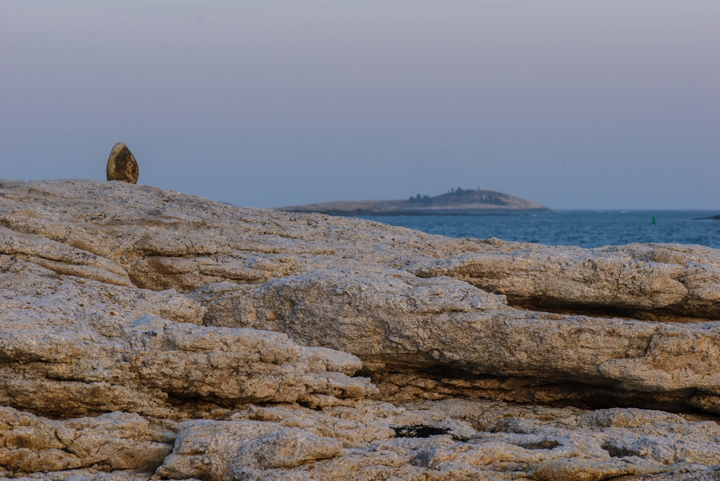
Ocean Point is a pretty spot, but with a narrow two-way shoreline drive and with above ground water supply. Yes, you read that correctly: above ground water supply, in Maine. Obviously, if you don't also have a well your house gets closed in the winter.
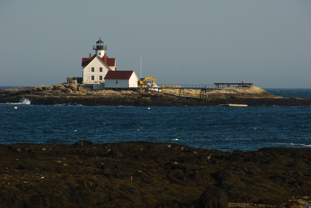
On the other side of Boothbay Harbor, going through Southport and to the end of the peninsula brings you to a pier with a view of Cuckolds Lighthouse. This lighthouse is currently being restored, after having been abandoned for about 30 years.

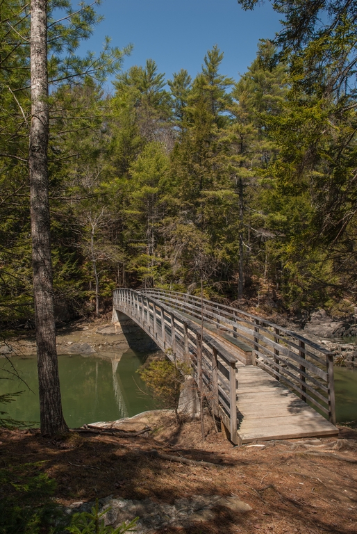
Many of the walks brought us through woods to either the coast or to tidal rivers.
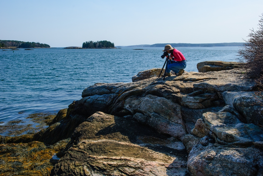
At Ovens Mouth Preserve, there is a farm at the trailhead. On the other side of a fairly large corral is a farmhouse, and they have a dog. Anne said "That dog noticed us and is coming over." Paul said "He couldn't see us from way over there." He might not have been able to see us, but he was a bloodhound and at least smelled us, and did indeed come over to say hello and take opportunity to go on some of the walk with us. You can see him in this picture of Anne, shortly before he decided we weren't going the direction he wanted to go in.
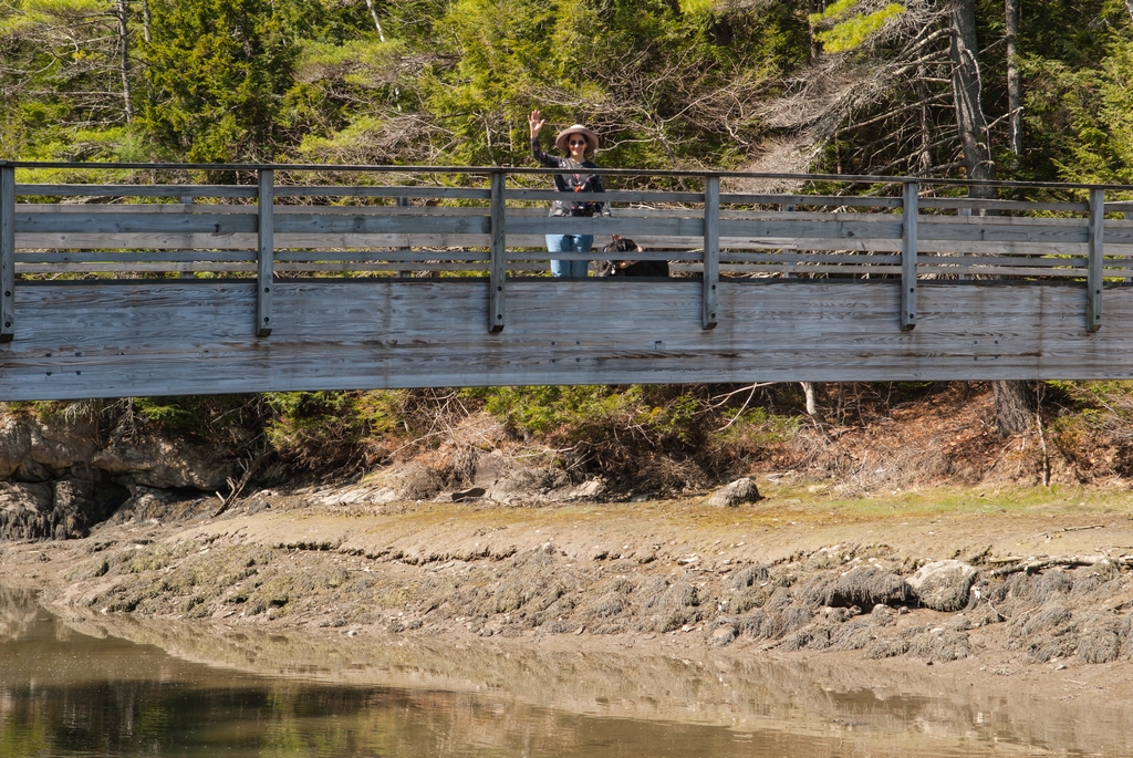
(Notice my nice hat. Neither of us had remembered to bring a hat, so we ended up buying some at the Botanical Garden.)
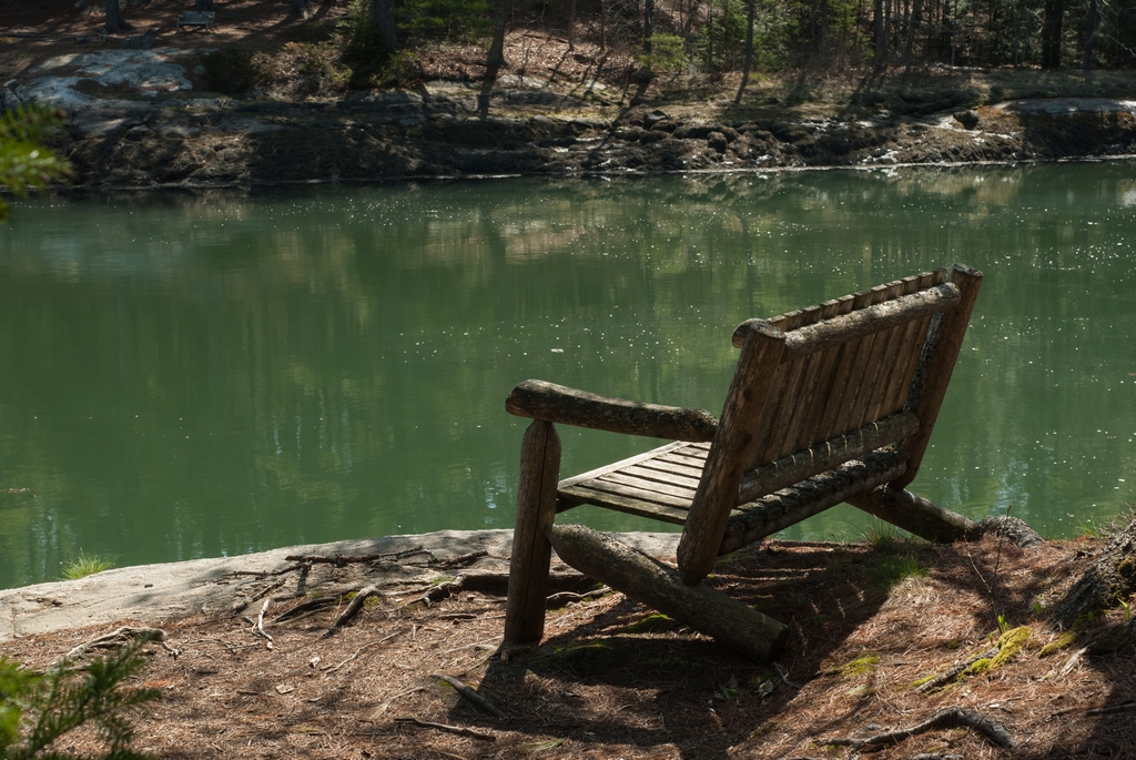
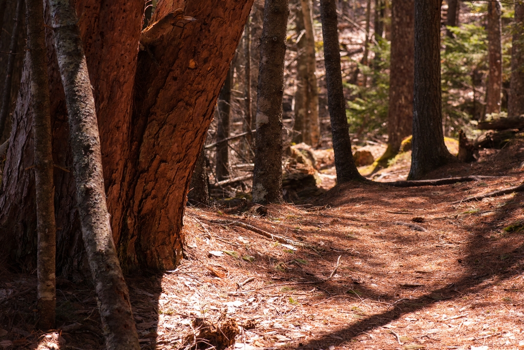
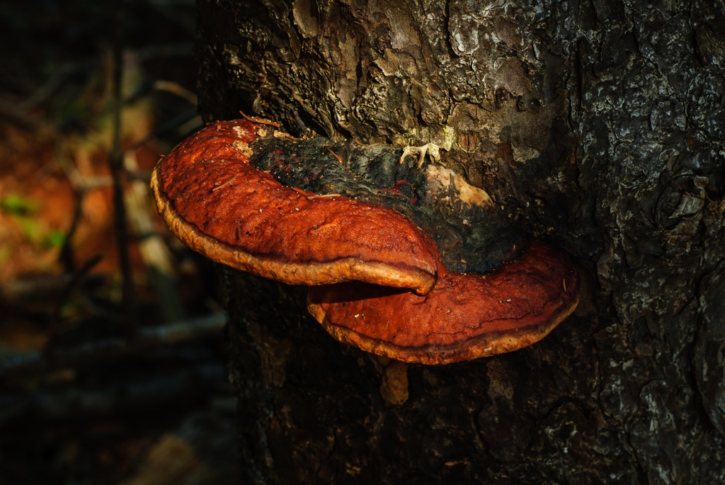
One spot in the woods glowed with a mesmerizing red hue for a bit. (At least on our monitors, the color of this next picture is fairly accurate.)
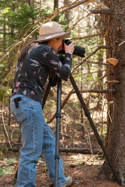
A couple of the other area hikes were Dodge Point State Park and Linekin Preserve (you can probably skip the 'Burly Loop' portion).

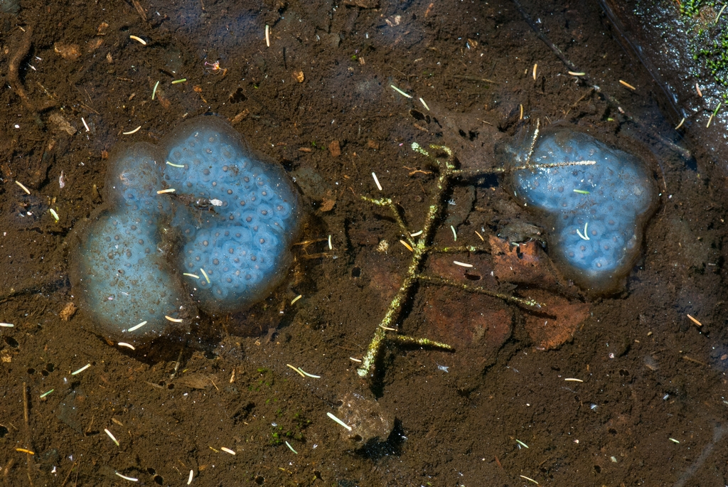
There were likely many tadpoles shortly after our visit.
To the next page of report (Page 4) ...
Updated April 2026