Whaleback Shell Midden and Glidden Midden
May 2023
Perhaps you are familiar with shell middens; we were not. One of the hikes we stumbled on was Glidden Point Preserve (formerly called Salt Bay Heritage Trail). It was an interesting trail and led to Glidden Midden. Across the Damariscotta River from Glidden Midden is Whaleback Midden. But we are getting ahead of ourselves; let's start with the Glidden Point Preserve trail. (The section we went on has since been closed, although a Salt Bay Farm section has been opened.) The walk starts on one side of a marsh and goes along the edge of it (and alongside Rte 1). These pictures were taken on our way back, but they show you the condition of the 'trail'.
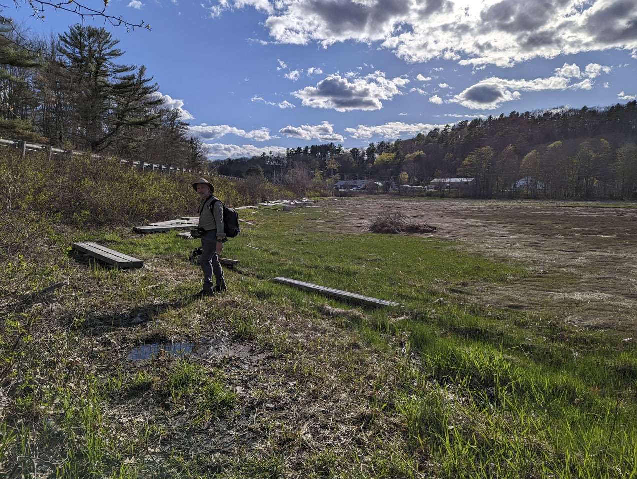
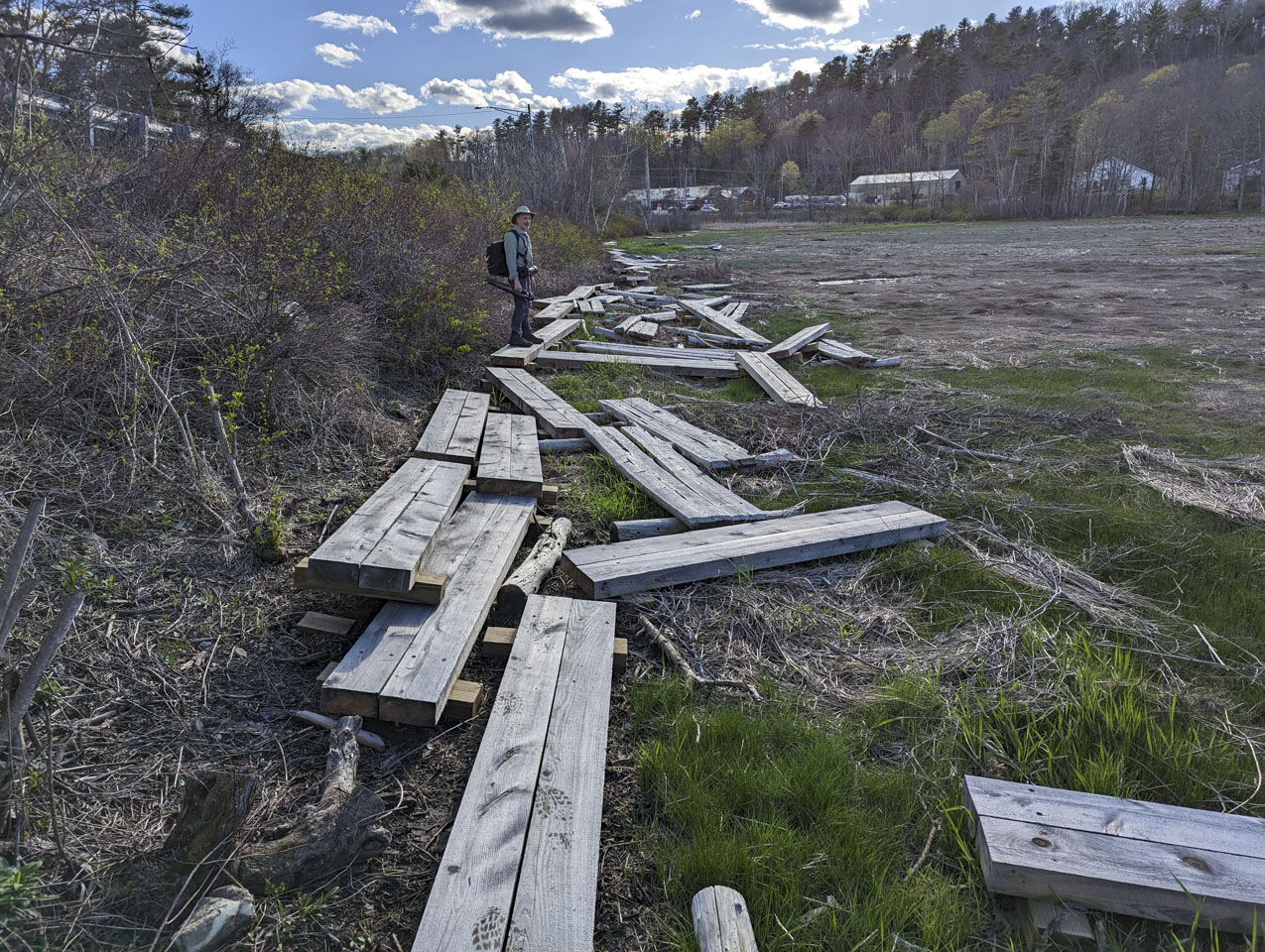
There was a nasty storm the weekend before we were there, and we thought that must have disturbed the bog bridges, but according to the Coastal Rivers Conservation Trust website, it was actually a storm the previous December. The linked web page was posted on May 5th, the same day we did this hike, so it looks like we got in just under the wire! Note that if you really want to do this hike, there is an unofficial entrance on the far side of the bog, but you have to pull off of Route 1 to get there so it is only practical in low-traffic times.
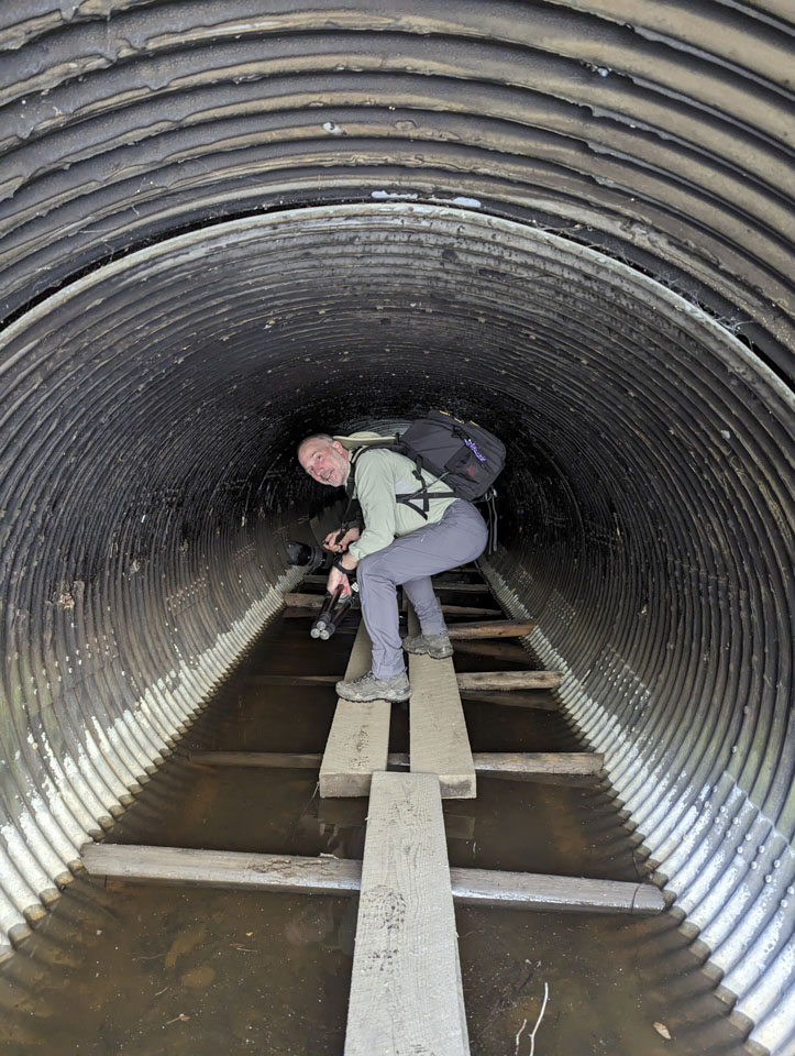
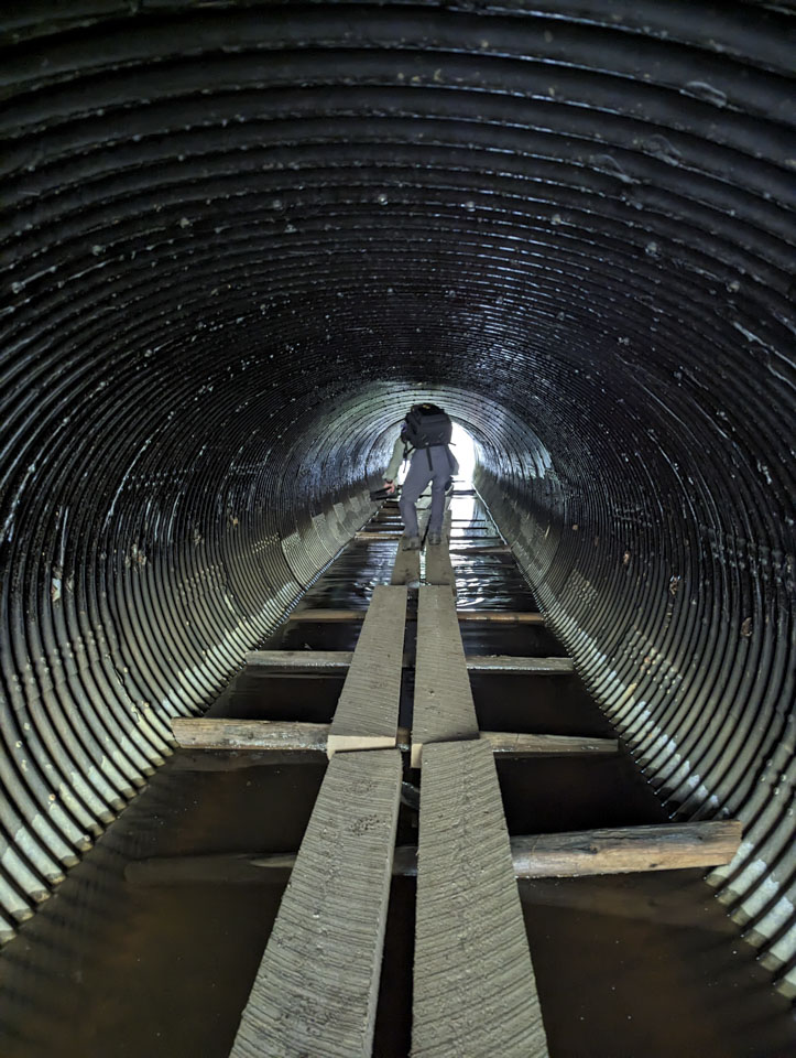
The trailhead was on the north side of Rte 1 and Glidden Midden is on the south side of the highway. At the crossing point is what is labled a sheep tunnel. What is that? It is simply a culvert. We doubt any sheep use it. This picture makes it look taller than it actually is (note the car on the highway above).
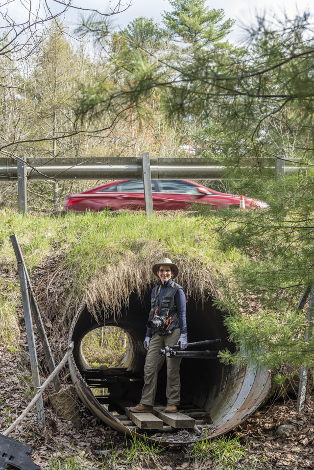
The bottom of the tunnel was covered with water. Fortunately the trail is maintained with planks for walking.
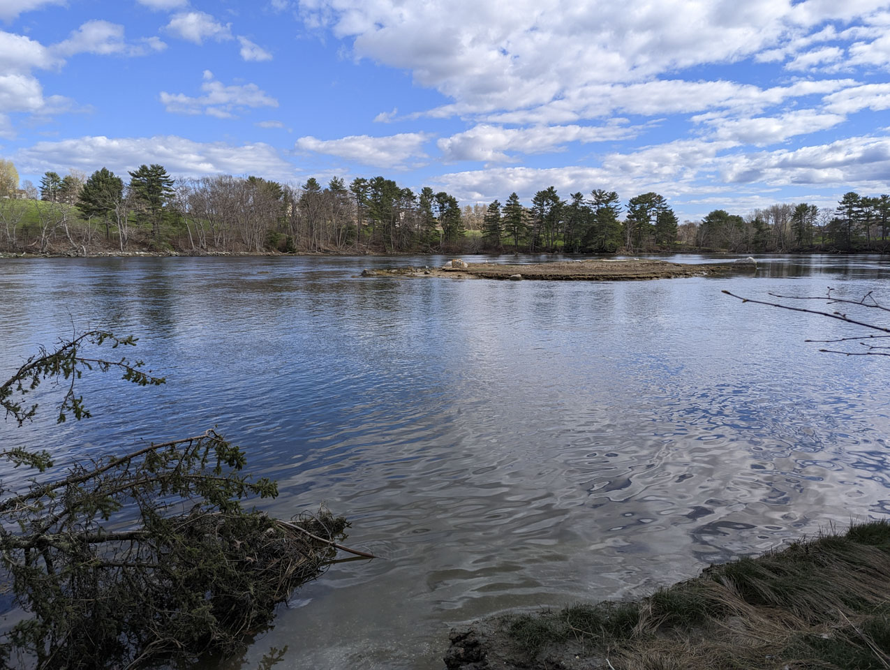
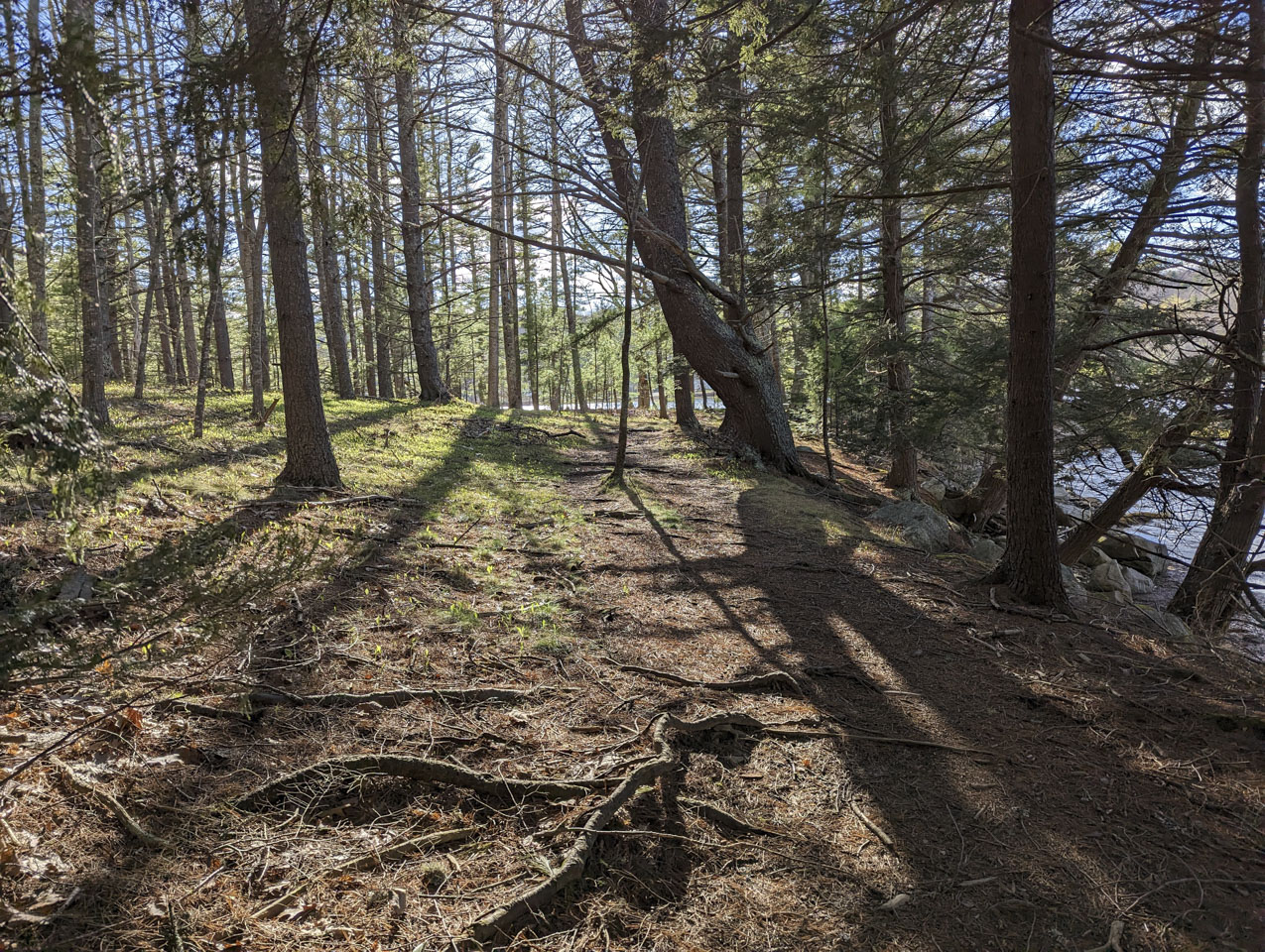
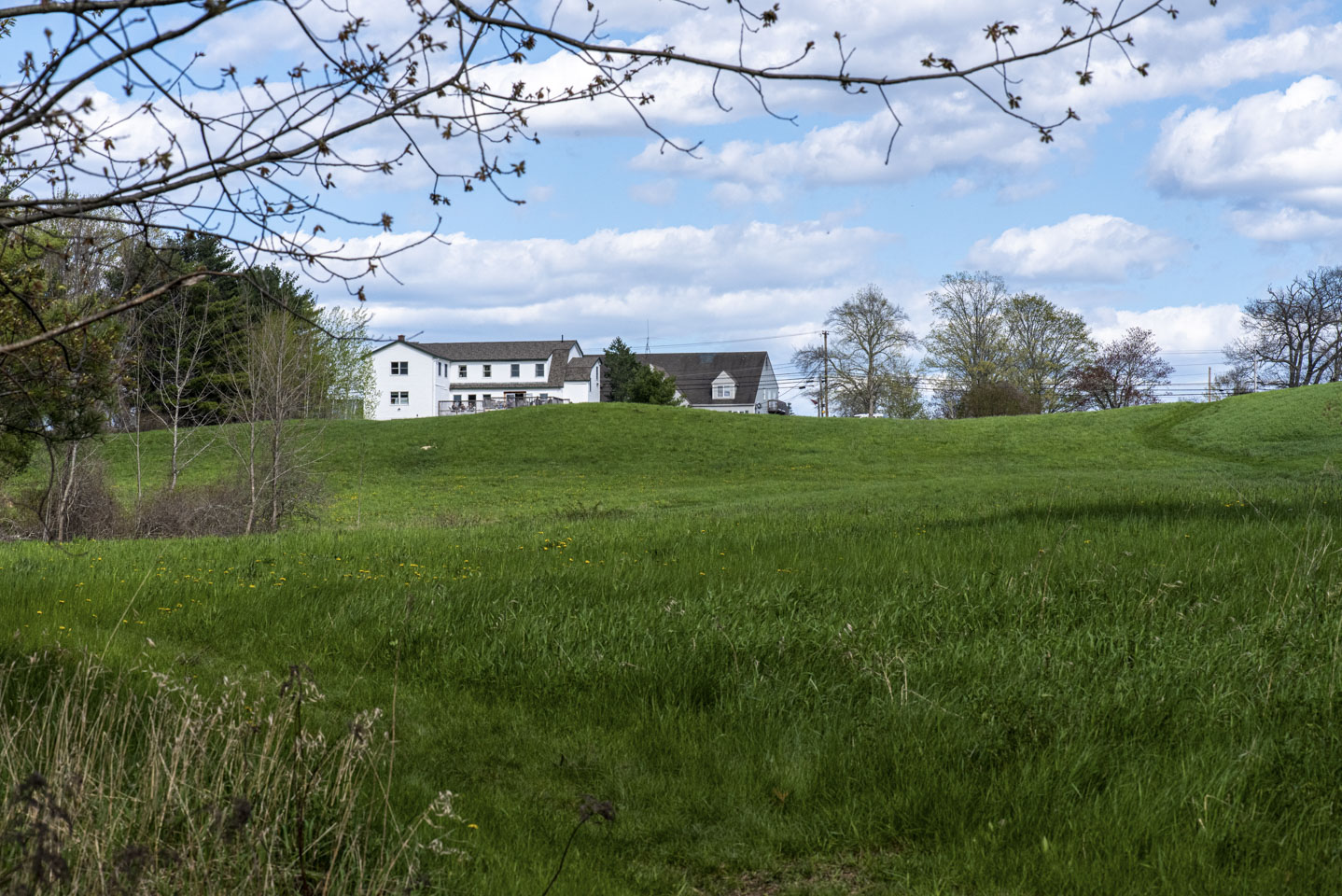
After going through the sheep tunnel and through a bit of woods, we came out to the Damariscotta River. We could see some fields and a few people across the river but did not know what it was.
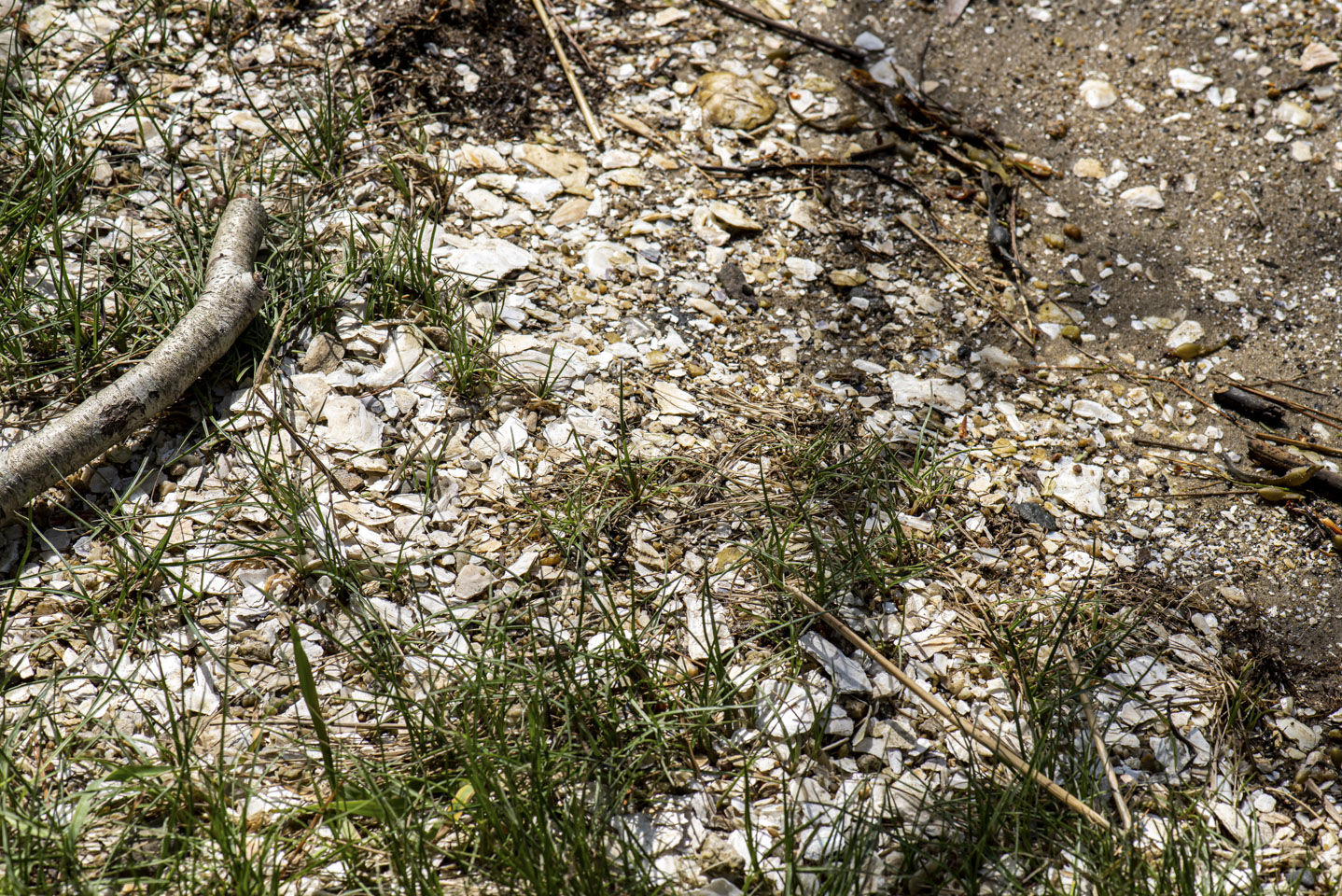
Much of the ground looked like this.
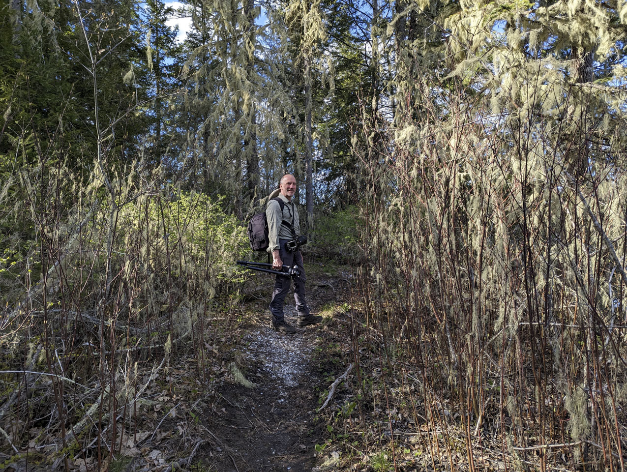
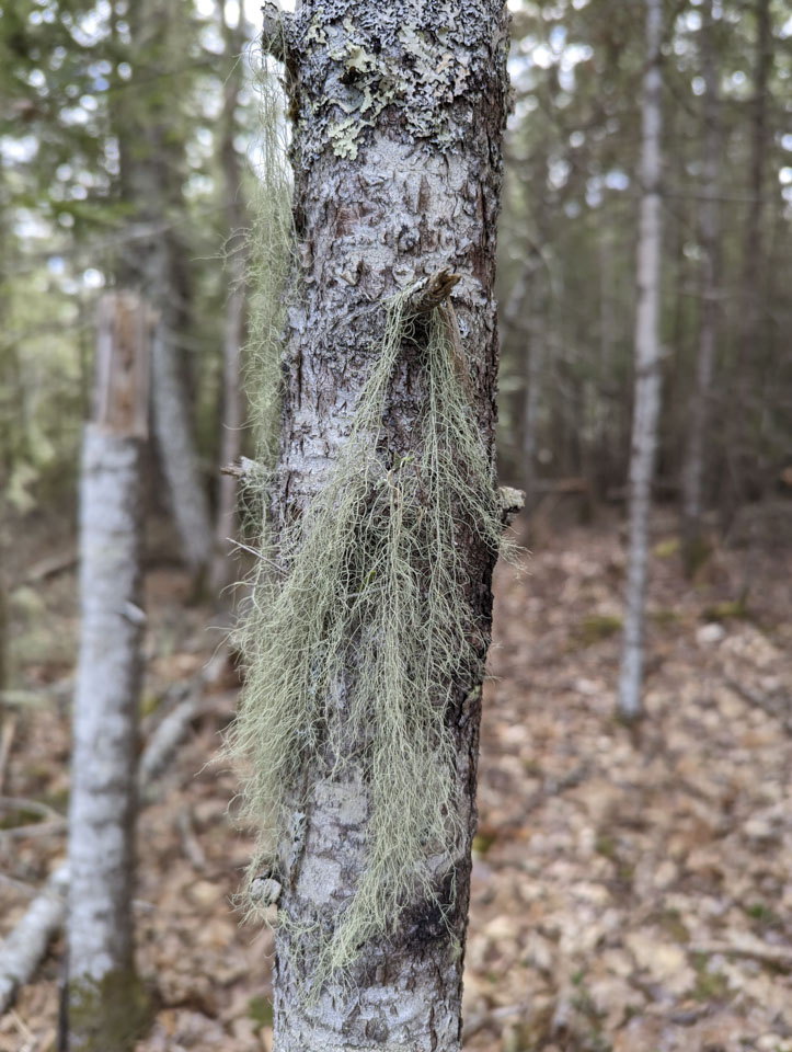
We then headed back to the car. The woods that the trail goes through is pleasant and varied. There are some parts with a lot of lichen:
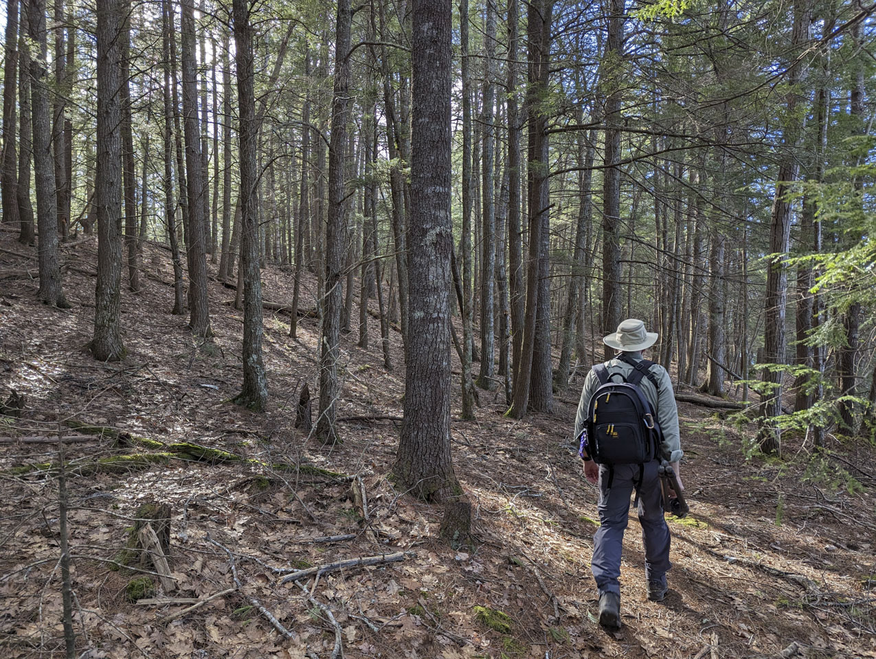
some parts with an easy open trail:
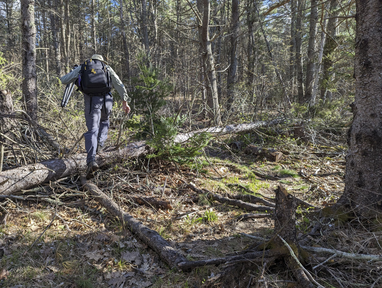
and some parts that weren't so open:
This section was particularly pretty:
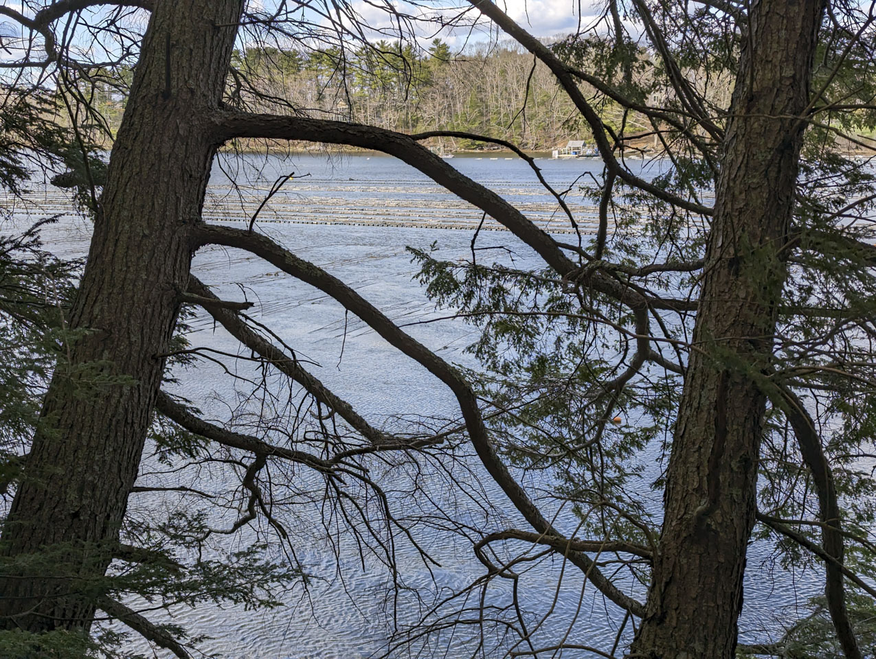
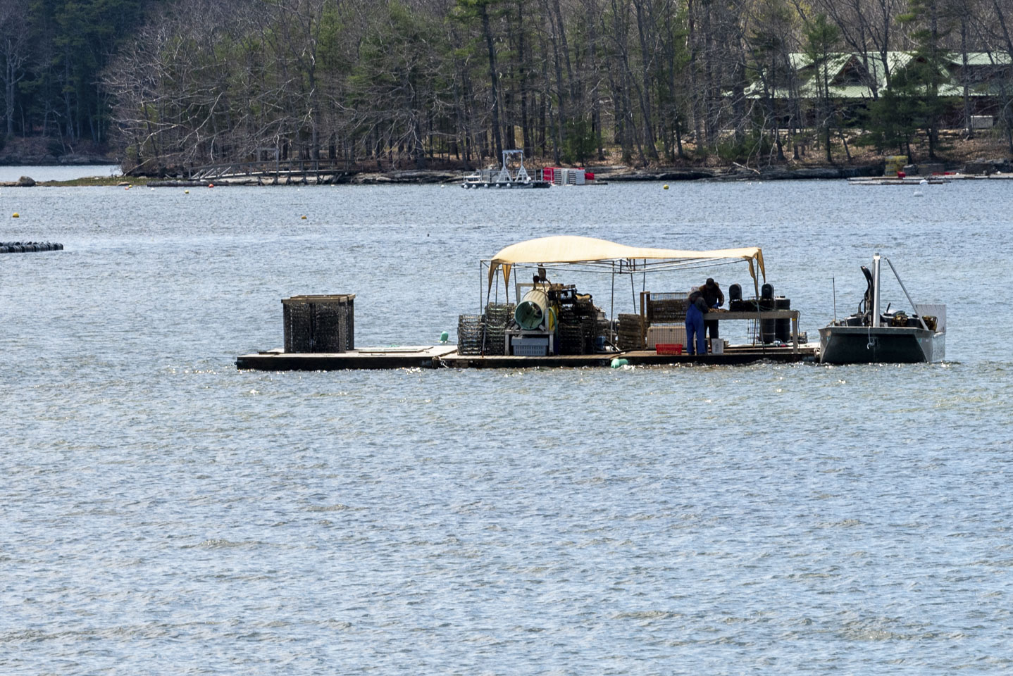
The trail runs alongside the Damariscotta River. There is a lot of oyster farming along the river. We have heard it called the Napa Valley of Oysters. According to a New England regional show, the oysters closer to the ocean are brinier and the ones further away are sweeter. This is due to the mixing of salt water from the ocean and fresh water from the river: oysters do particularly well in areas where the seawater mixing with fresh water nourishes the growth of the types of plankton that they eat. This particular farm is further up the river and has more fresh water, so it definitely produces sweeter oysters. The float is a workstation where they separate oysters, putting the smaller ones back into the water.
A couple of days later we found ourselves on the opposite side of the river from Glidden Midden. This is the state historical site Whaleback Shell Midden. (That site might be slow to load but has a lot of interesting information. This page gives a shorter description.) Basically, a midden is a trash heap. A shell midden is a trash heap filled with shells. This particular area was particularly good for oysters from 2000 to 1000 years ago; at that point the conditions changed, there were fewer oysters, and it was over-fished by the people in the area at the time. So these middens were created over hundreds of years, ending about 1000 years ago. Most of the middens were removed for chicken feed; what is left is preserved. According to the Society for Historical Archaeology website, Glidden is the largest of the roughly 2000 shell middens remaining in Maine. Whaleback used to be the largest before it was mined. So oysters and the Darmariscotta River have a very long history; today's oyster farmers are continuing the heritage of literally 1000s of years.
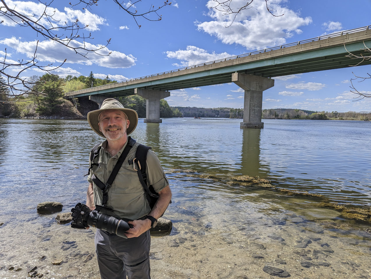
Here is Paul down by the river, with the Rte 1 bridge behind him.
We were stepping on shells.
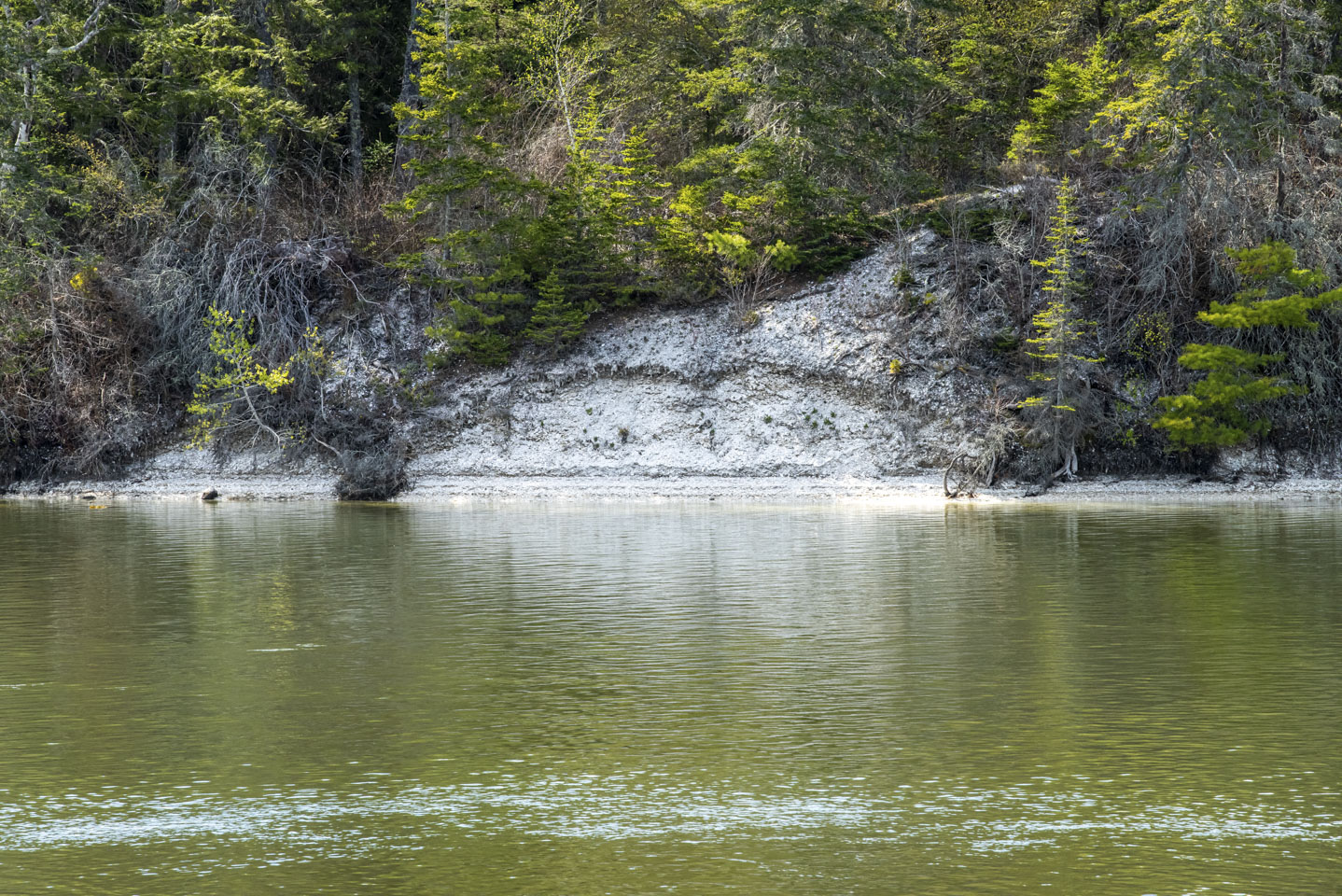
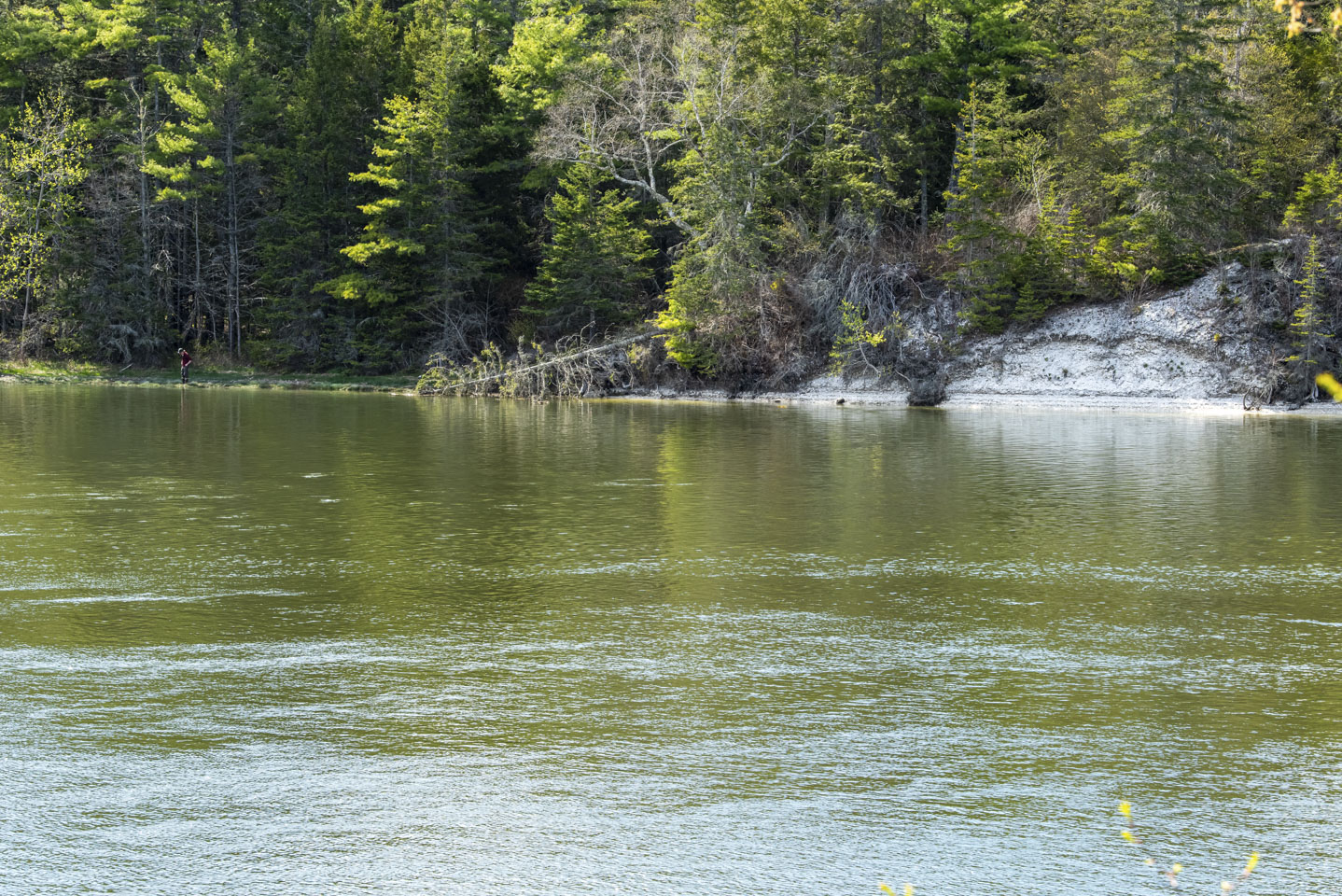
Across the river from us we could see the shells of Glidden Midden. In the second picture you can see a person; that is where we would have come out when we did the hike.
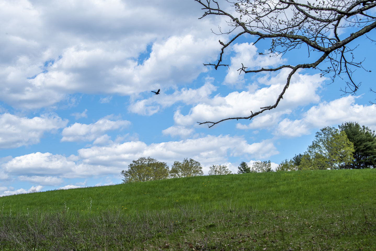
The park itself seemed reminiscent of Wyeth to us.
Updated April 2026