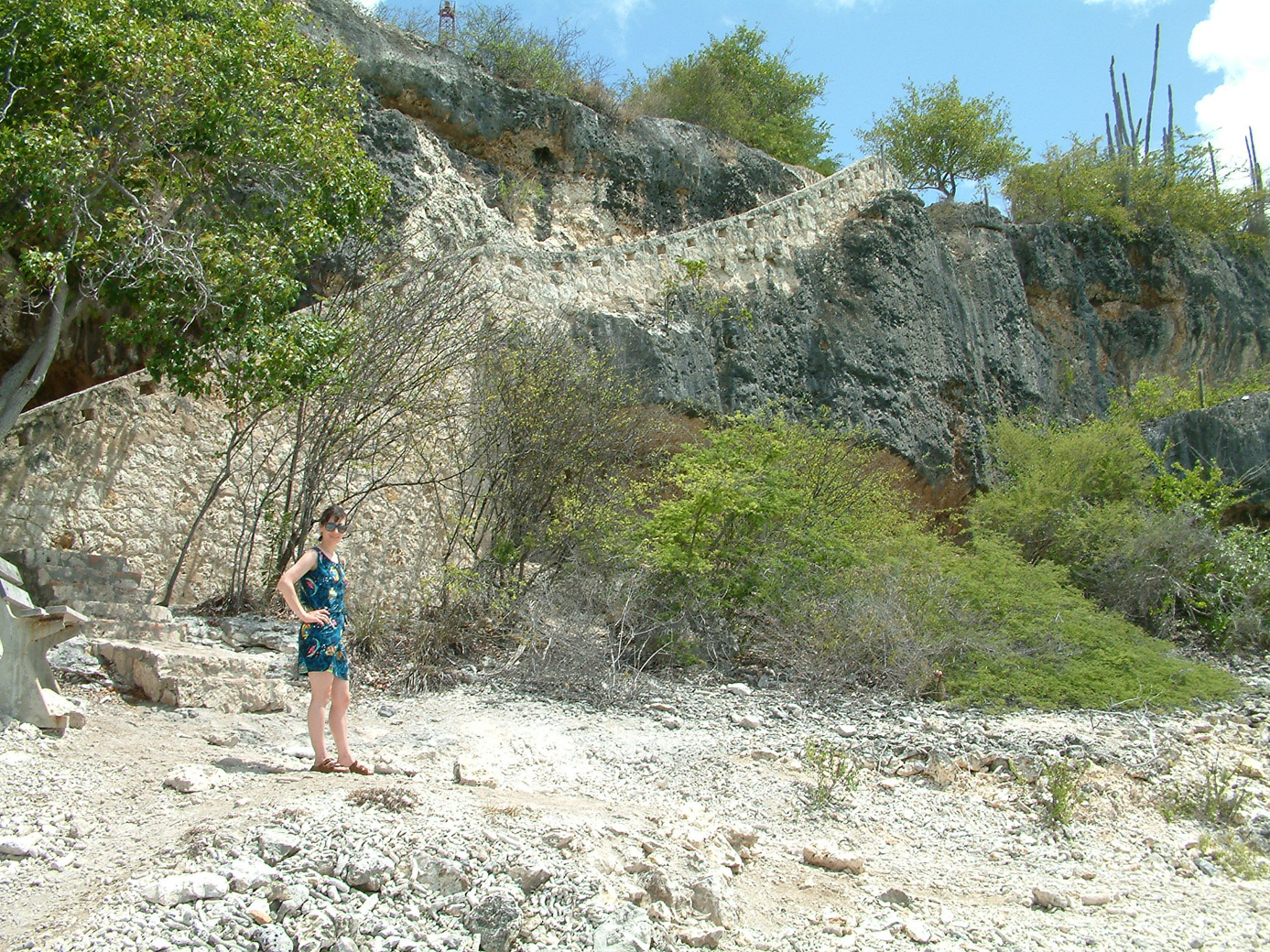
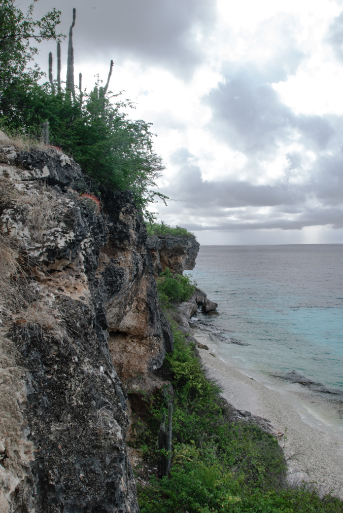
Along this northern coastal route are many dive sites. These sites feature hard coral, and some have more of a wall-shape than found in other locations on the island. One of our favorite is "1000 steps". The walk down and up, with gear, isn't our favorite aspect, however. (The second picture is from 2004, but gives a good idea of those steps.)
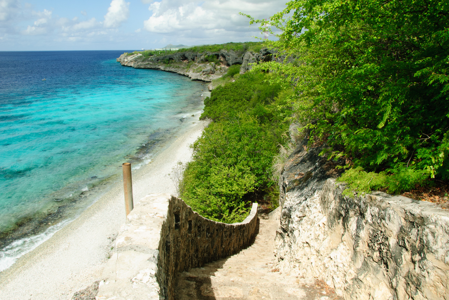
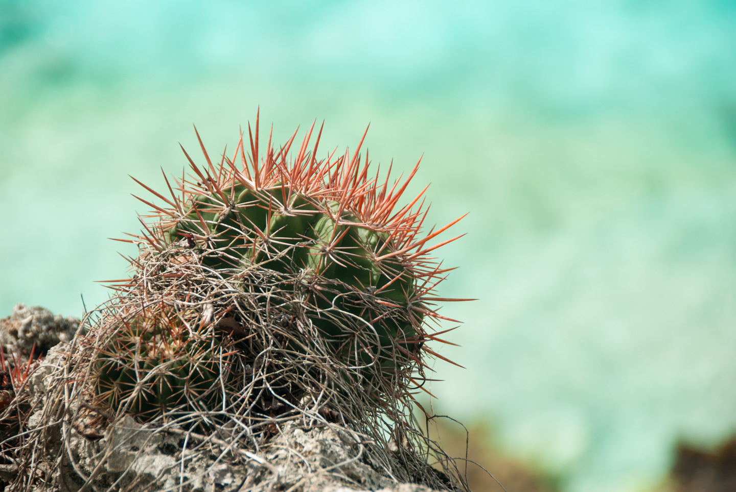
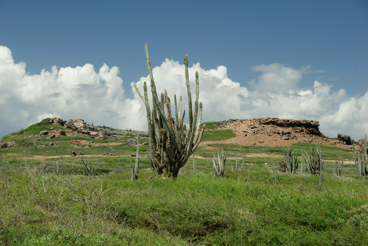
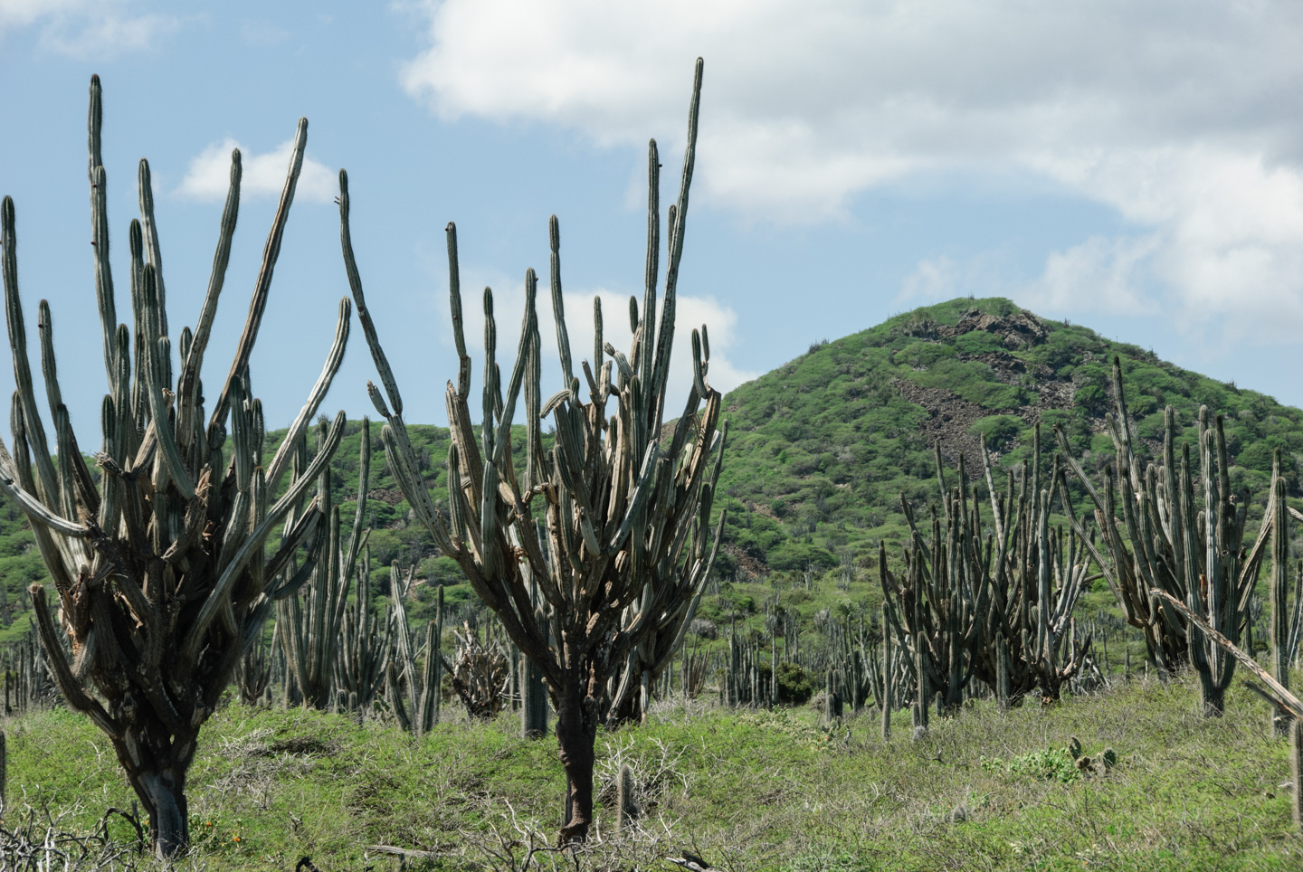
At 1000 steps is a nice example of some of the flora of Bonaire. This was taken at the top of those steps, with the ocean in the background. (In the cliff picture, you can see the cactus at the top.)
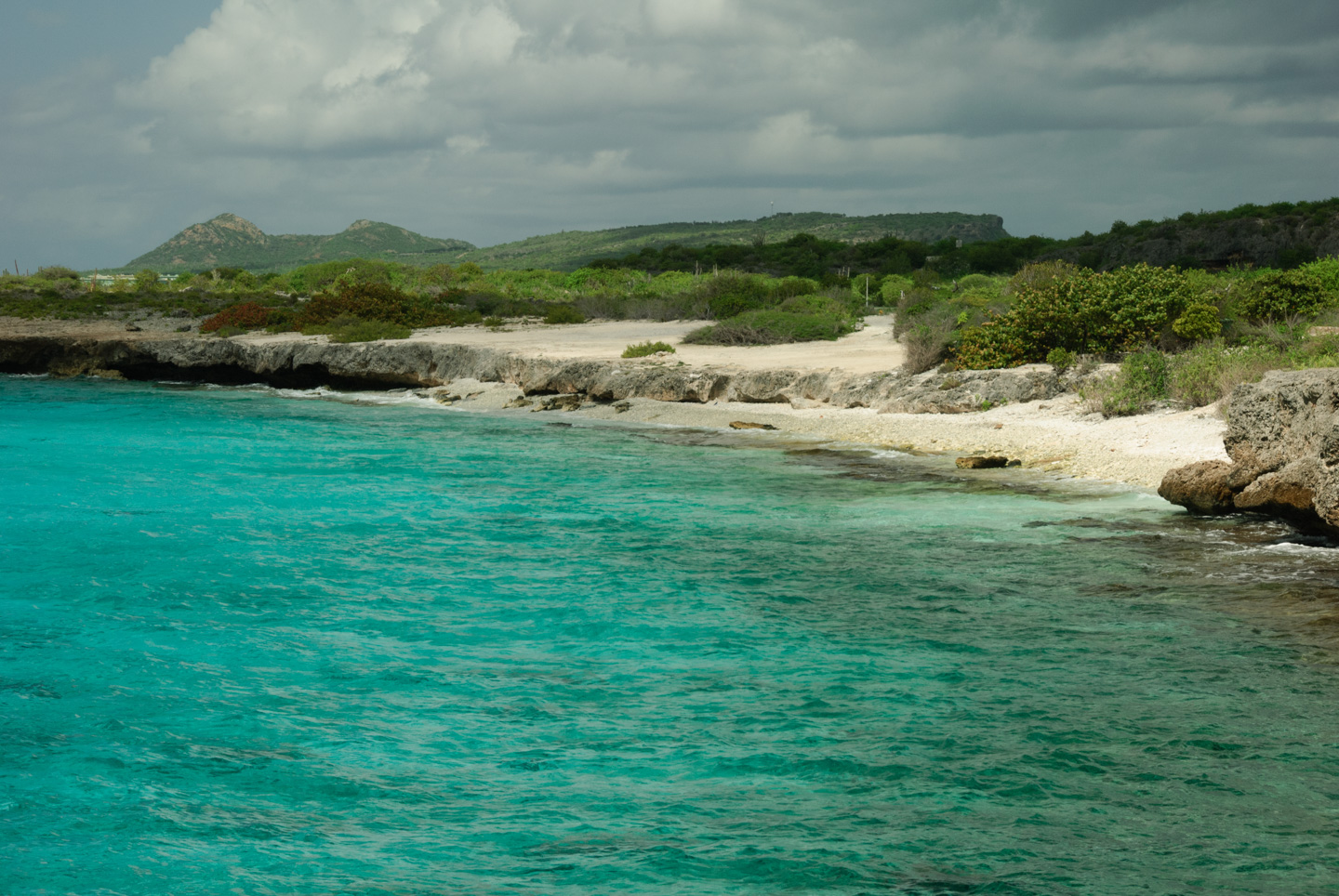
Here a picture of "Ol' Blue", another favorite dive site. The picture also gives a nice view of the northern mountains in the background.
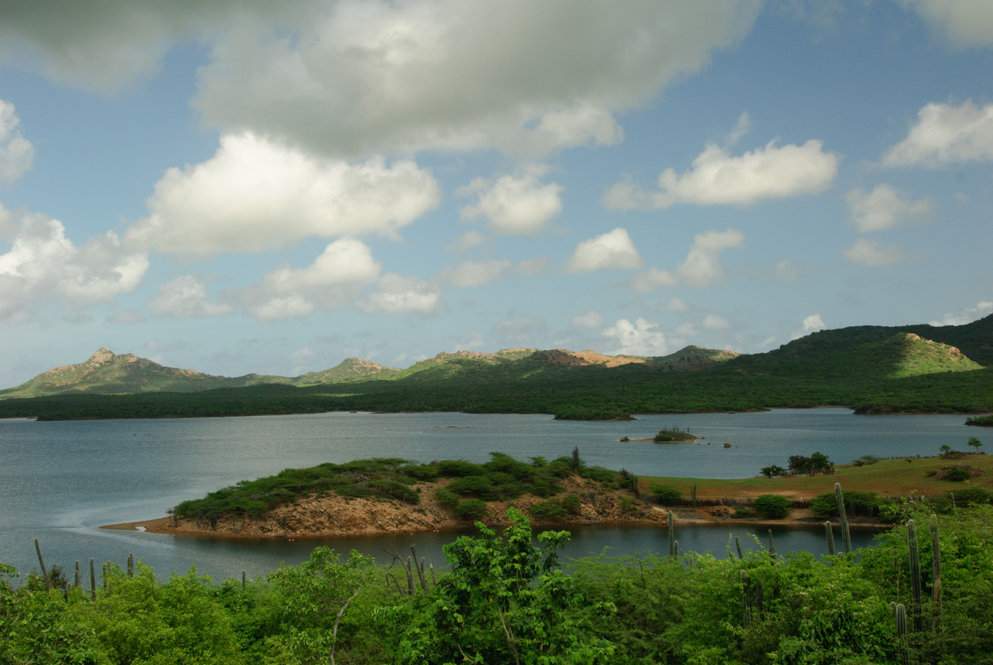
This road then loops inland, through Gotomeer, which is also sanctuary for the flamingoes. There is a nice observation spot on this road, which gives great views.
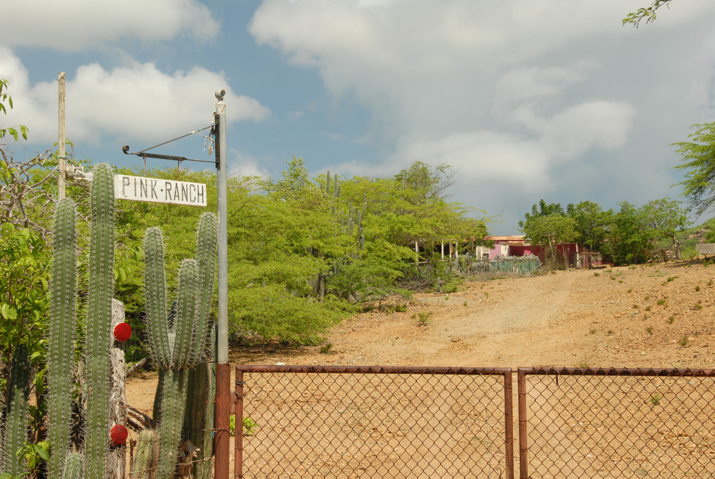
The road then heads down to Rincon, the other "major" city on Bonaire. On the way is "Pink Ranch".
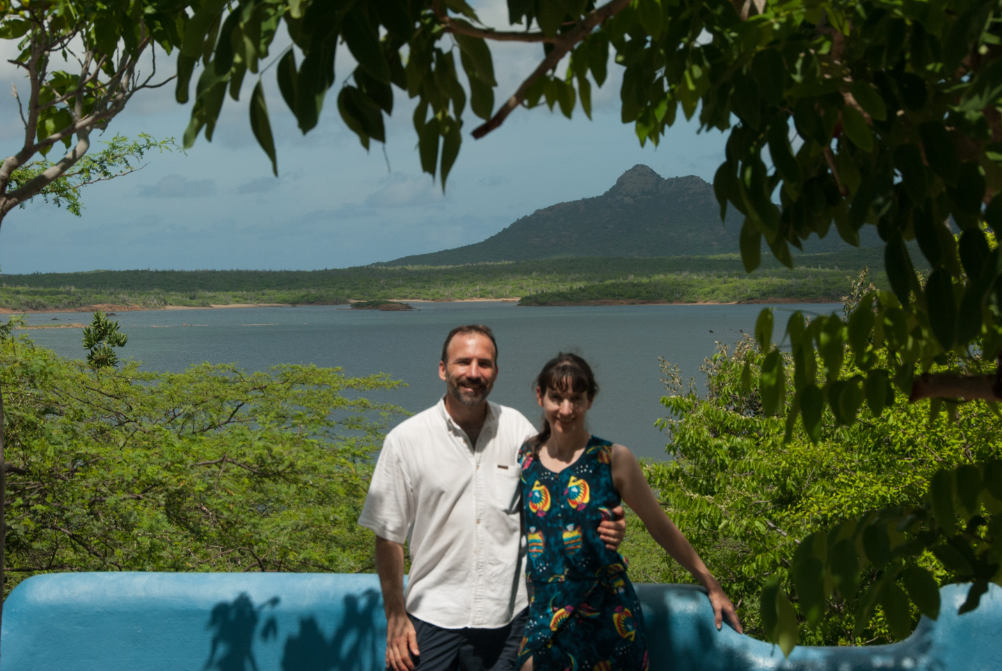
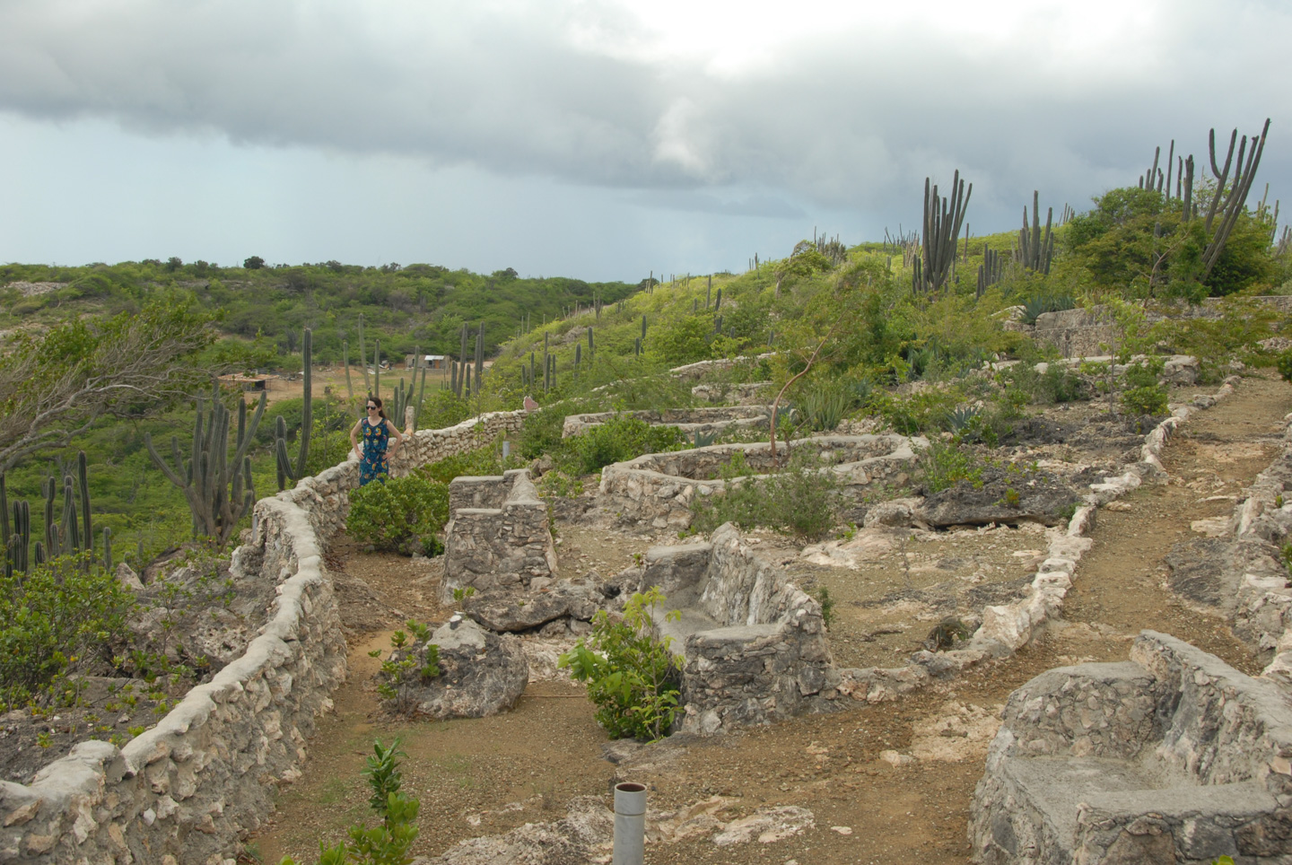
This year we discovered (actually on a different road) an observation point looking inland at the bowl where Rincon is situated. When it was new, this must have been a great spot, with nice landscaping and stone seats; it doesn't seem to be used too much at this point. What this picture can't convey is how HOT we were.
The northern most end of the island is Washington Slagbaai Park. This is a large park on land that was originally a plantation that exported aloe, charcoal, and a few other miscellaneous items. They have a very nice museum at the entrance of the park. I'll just post one example - a timeline of the earth, done with dive-tags.
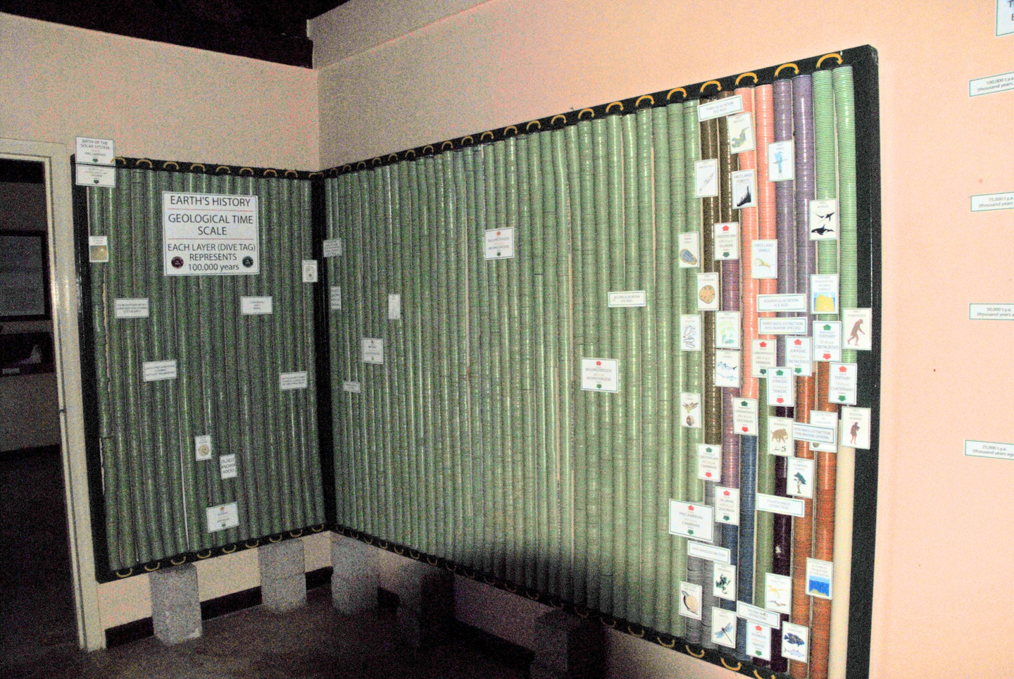
(Sorry about the picture quality; I took it without the flash and had to lighten it.)
The park shows how truly rugged this island can be, without the softening influence of human efforts. It has some spectacular views.
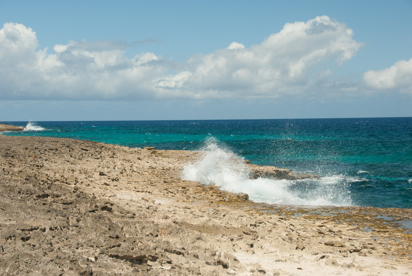
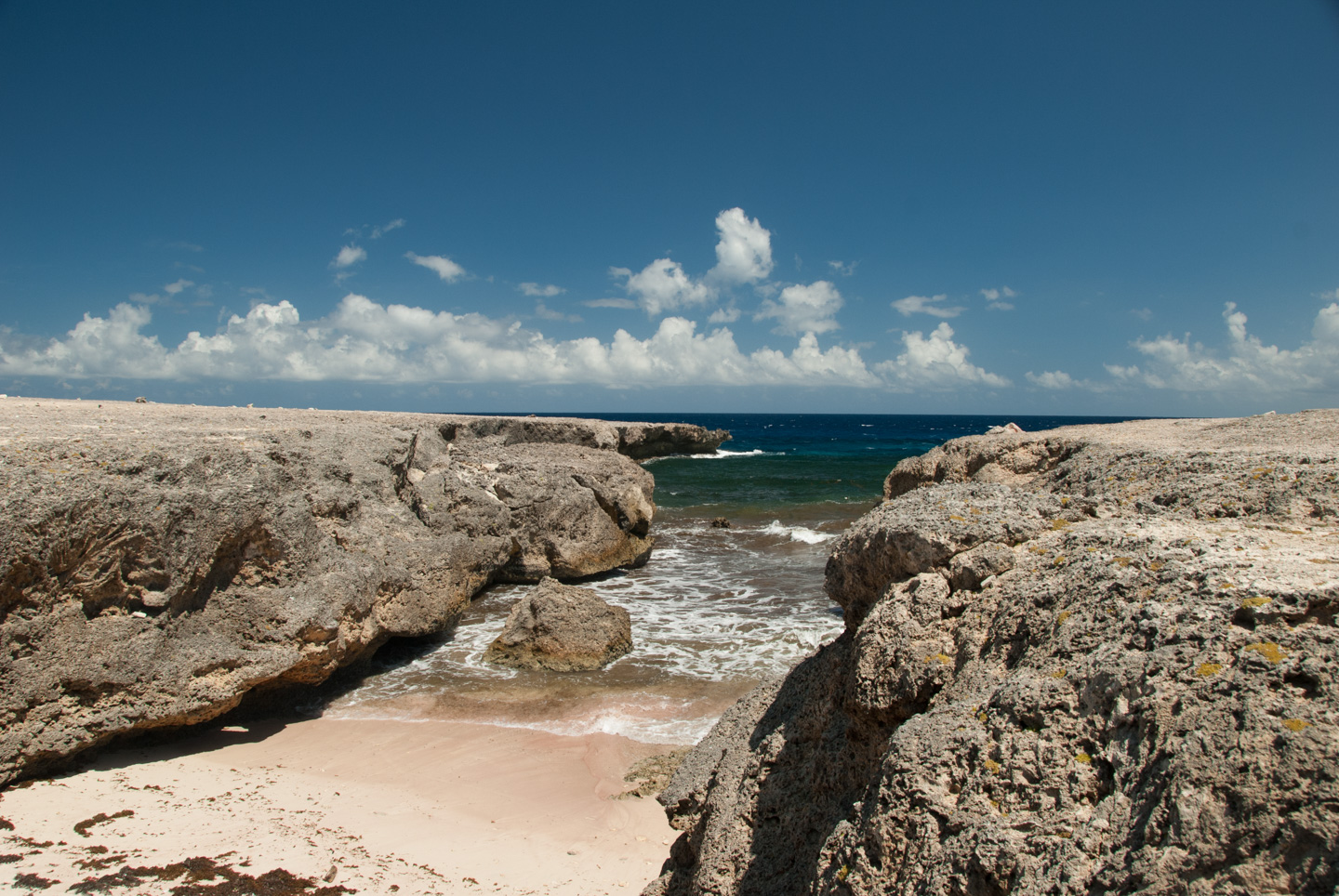
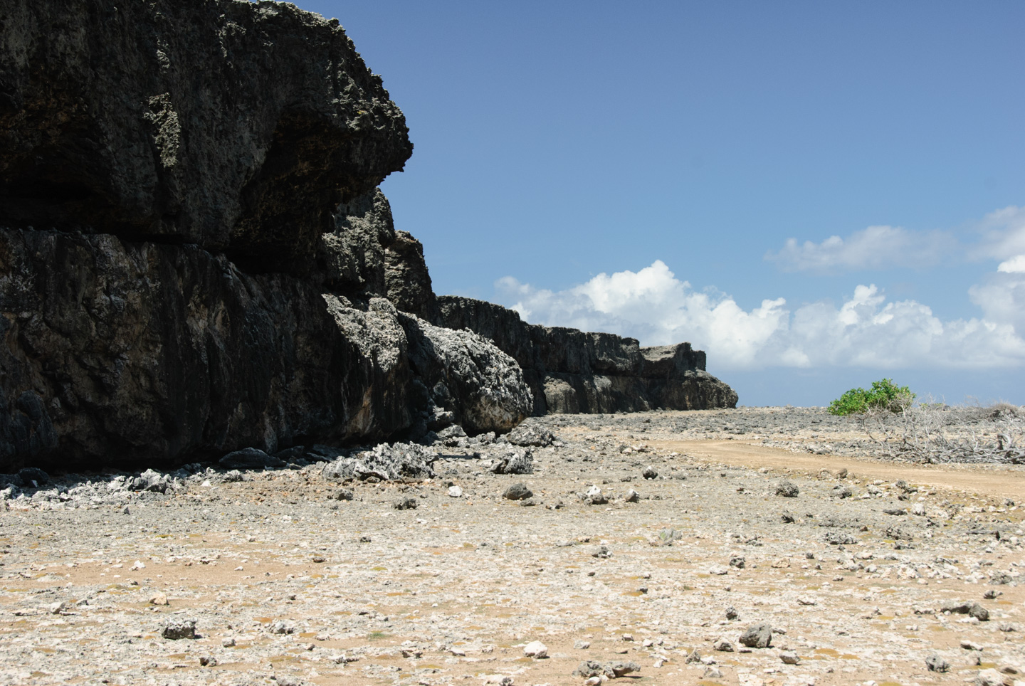
Notice the levels in that last picture; this is due to varying ocean levels over the millennia.
Time for a new page...
Updated July 2020