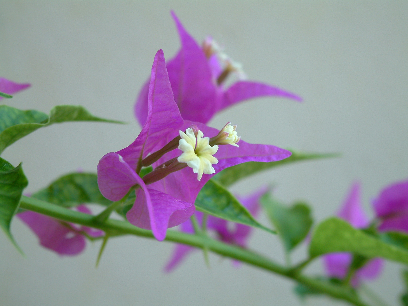
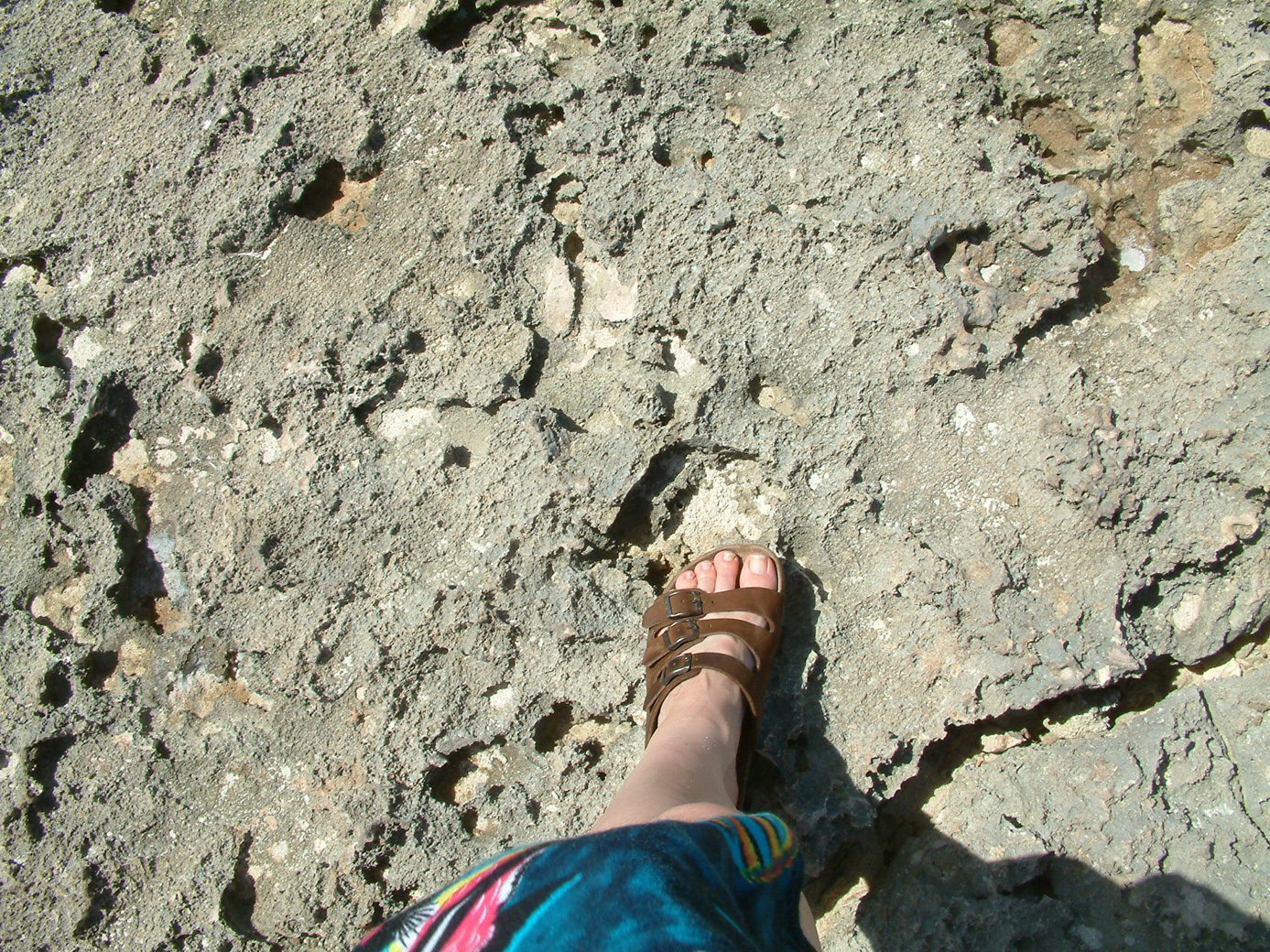
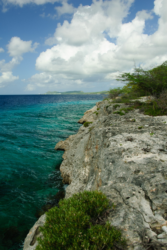
Bonaire is a desert island, made from ancient volcanic action. So many of the plants are desert-type plants. There are also some lovely tropical flowering trees. The land itself is often very rough, depending on what portion of the island you are on.
Our daily routine while on this vacation to Bonaire went something like this: Tea and coffee on the deck. Breakfast, which was usually muesli in yogurt, an apple with peanut butter on it, and a piece of toast. Then we would get our gear and a couple of air tanks and head off for our first dive. (This would be something a bit after 8 AM.) We would pick whichever dive site we wanted to go to, avoiding other divers so that we wouldn't run into them underwater. Most of our dives this trip ran over an hour. We are able to stay under longer now, before getting cold, because we have 3-2 neoprene wetsuits.
You are surprised that cold is a problem? Well, the water in Bonaire is typically 84' F. In 84' air, your body generates heat faster than the air takes it away. But water takes away heat faster than you can generate it. So unless the water is close to a human's body temperature of 98.8' F, eventually you get cold. Without a dive skin, we can go around a half hour in Bonaire water. With a polartec skin, increase that to 45 minutes. With these 3-2 suits, we were easily going an hour.
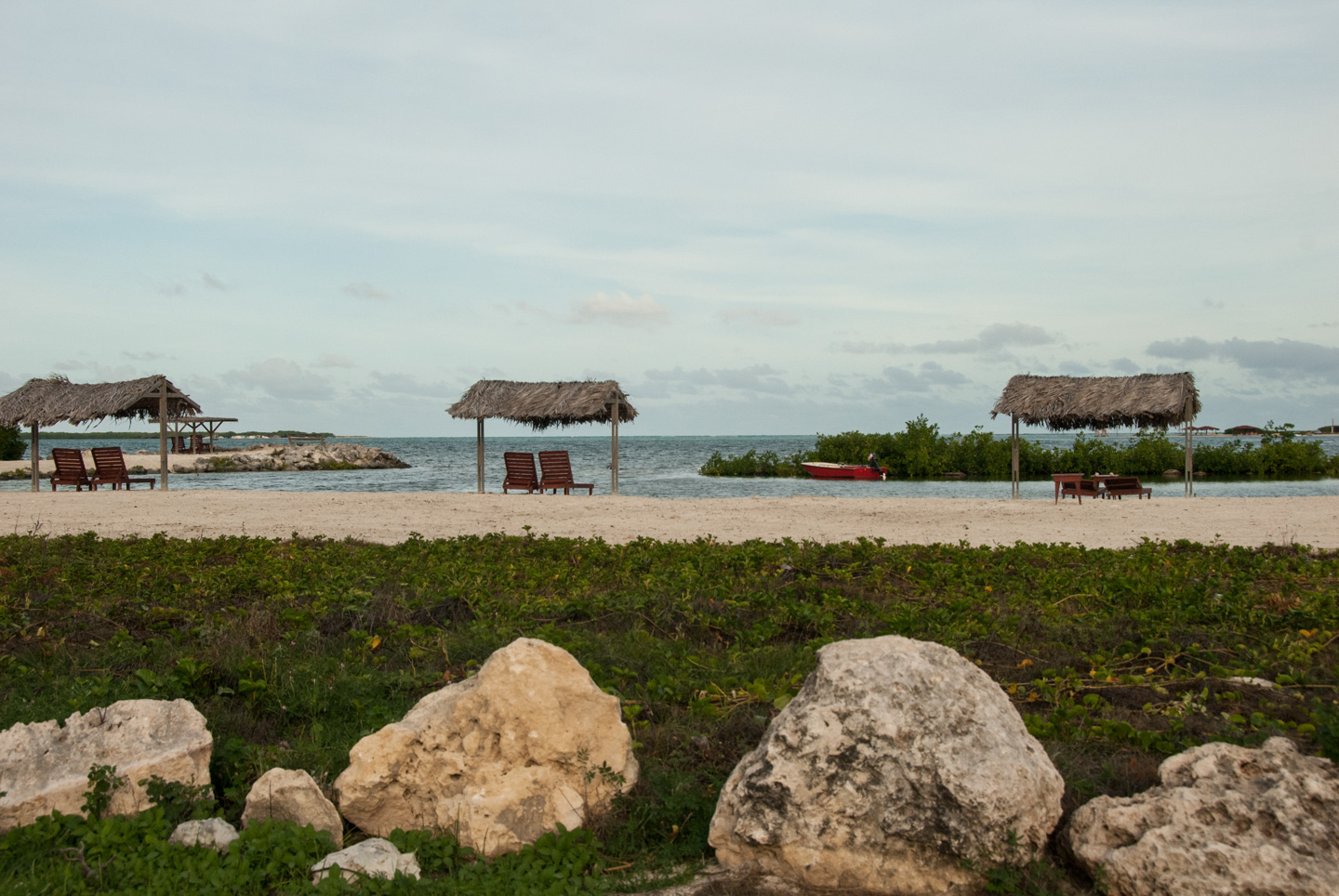
Ok, back to our schedule. After our dive, we would drive back to Carib Inn, rinse the gear, and drop the tanks off to be filled with air. I would pack up lunch, and we would go to Windsock Beach for lunch. It is called Windsock because it is near the windsock for the airport. Planes go directly overhead once in a while. We sat in the shade of some trees, looking out at the ocean.

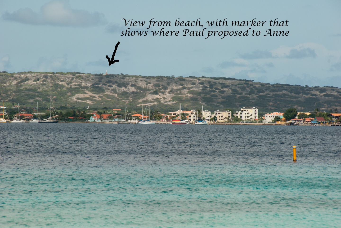
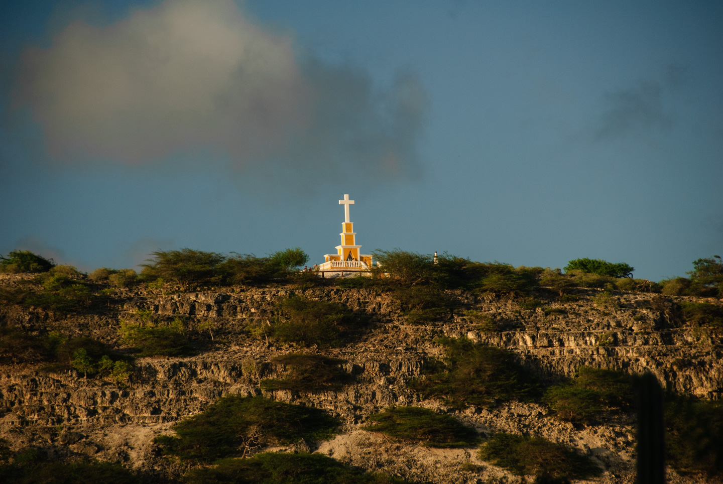
Lunch usually consisted of peanut butter and jam sandwiches, nuts, chips and pretzels, a bit of gouda cheese with crackers, and lots of water. In addition to seeing the ocean, we can see "Observation Point" from the beach. This is where Paul proposed marriage to Anne, back in 2001. One of the churches on the island put a monument on Observation Point, so it makes it easy to see from a distance. (I've included a closer picture also.)
And here is my other "post-dive" outfit, showing post-dive hair as well.
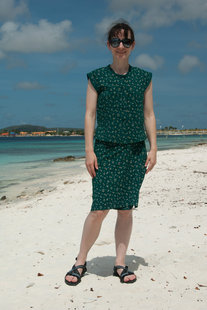
And yes, my nose is big but the sunglasses make it look even bigger!
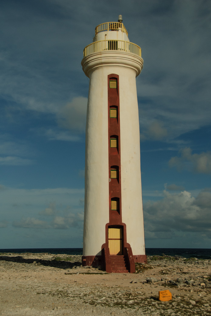
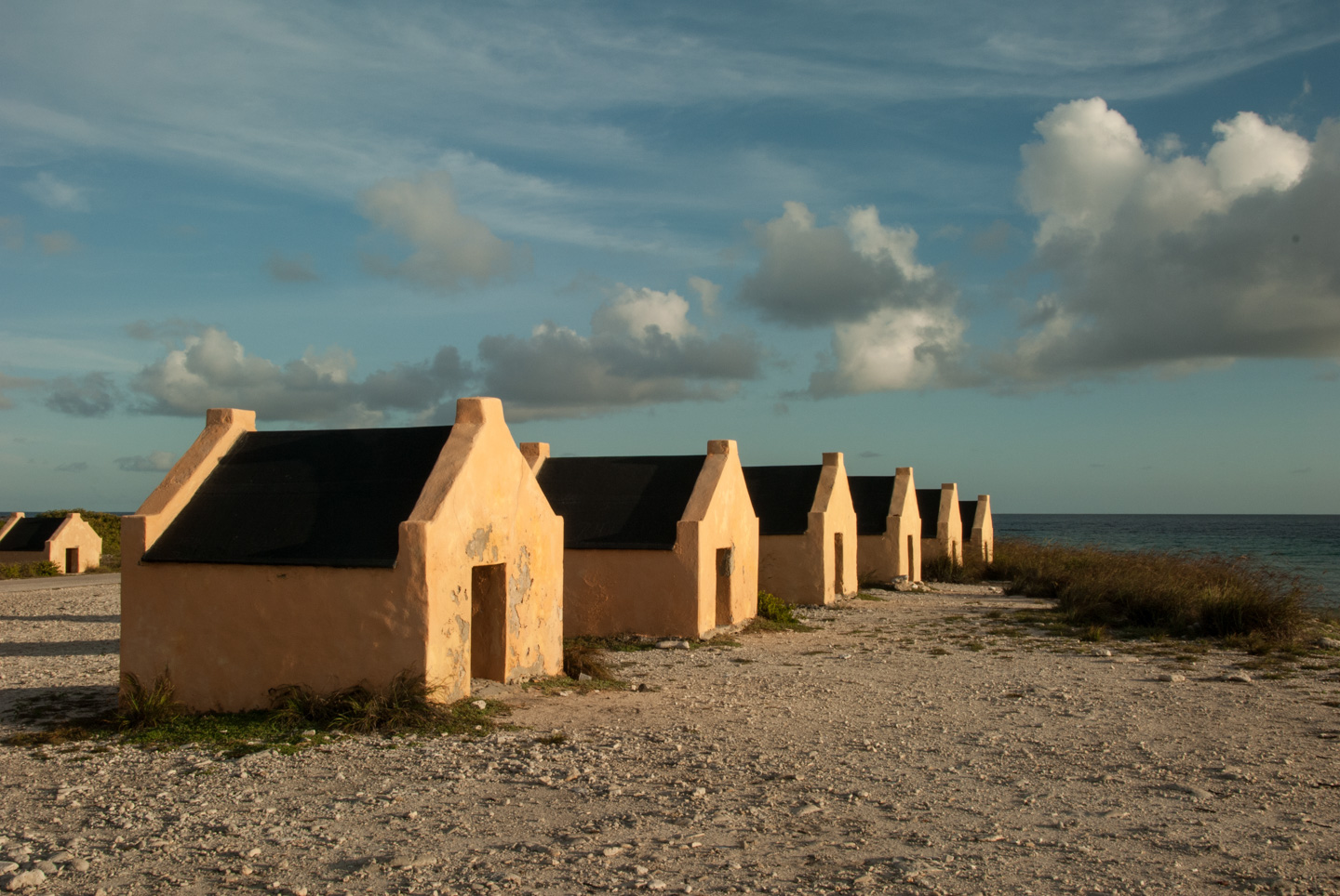
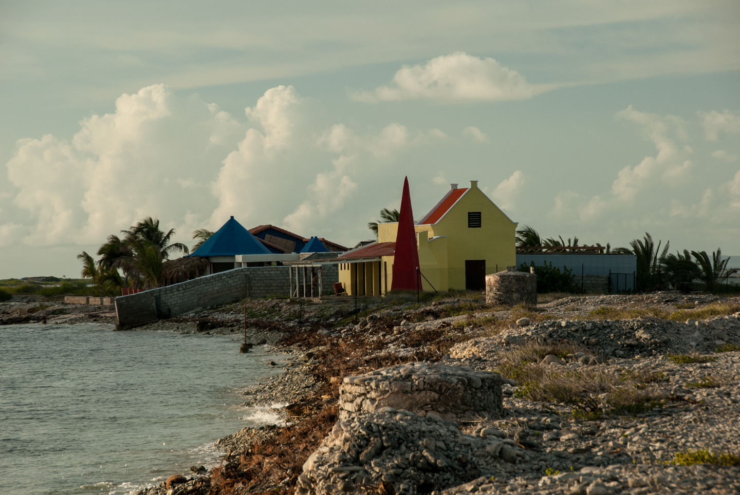
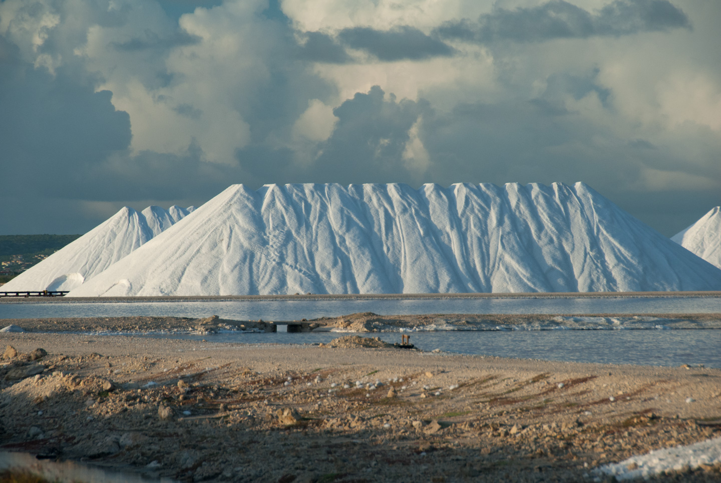
The south side of the island is very, very flat. A large amount of the very southern end is used by Cargill Salt Works to do solar evaporation salt (used for industrial purposes). Flamingoes use this area as a feeding and breeding ground. At the very southern tip is a lighthouse (still in use). And nearby are the "red slave huts" and the "white slave huts". These are small huts, painted red or white, where slaves who used to work the salt flats stayed during the week (since it was too far to go to their houses on the northern part of the island every day). The overseer house is being redone by some private owner, it looks like.
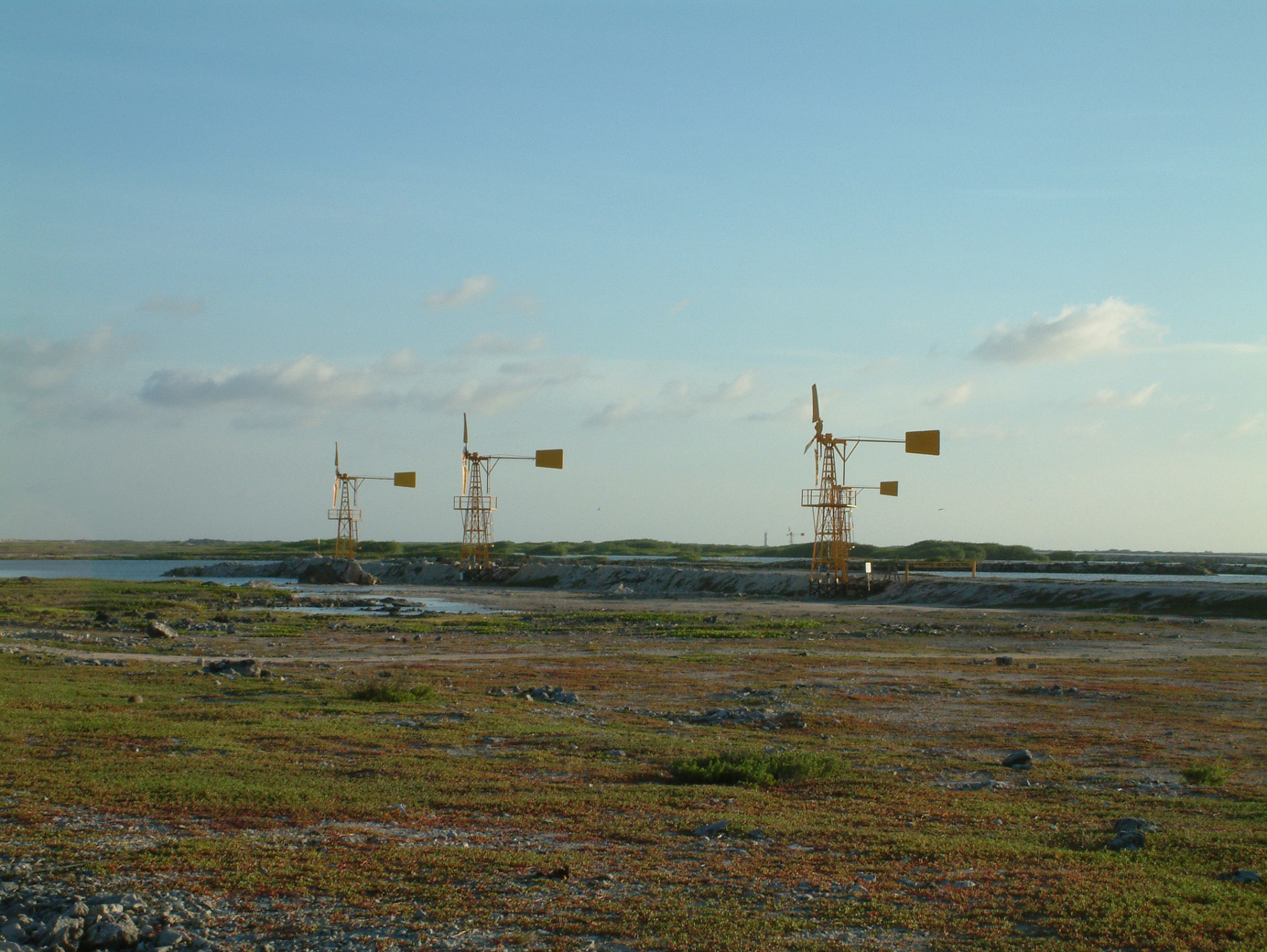
Also on the south side are some windmills, which make a striking feature against the flat background.
Dive sites on the south side of the island feature soft coral.
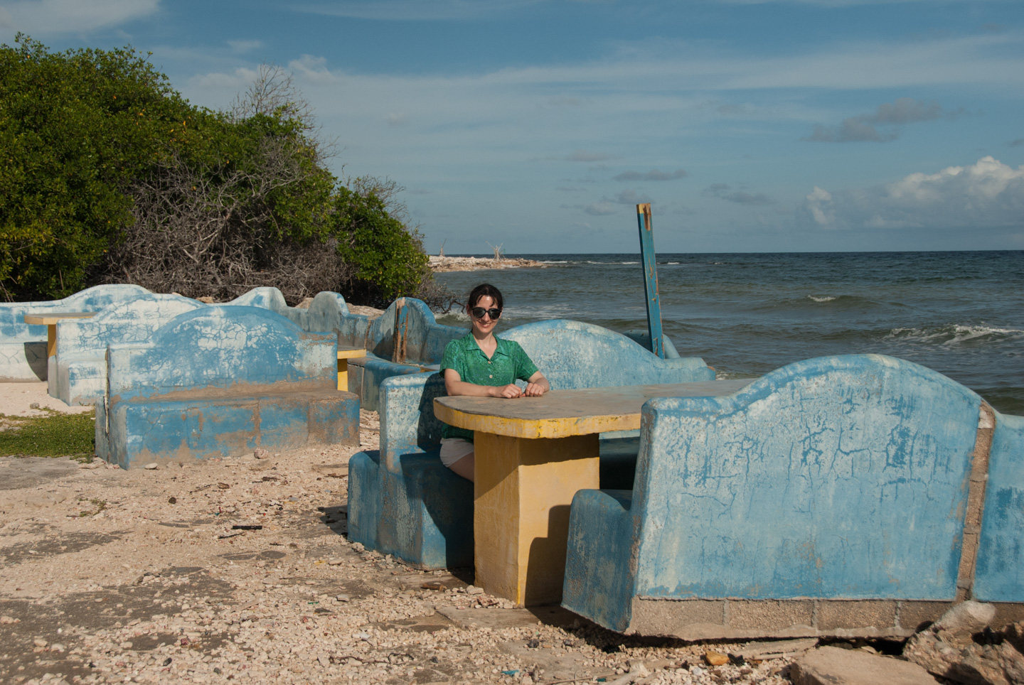
Moving north to the middle of the island, you have two very different landscapes. On the East side it is very harsh, with ground looking like the picture at the top of this page. This trip we only went to the top of Lac Bay, which is fairly far south, and not to the more desolate portions of the East side. The top of Lac Bay is a spot where conch fisherman headquarters. There also looks to be some food vendors, who are probably there during the busy season (winter). Presumably one of them put up the cement chairs and tables that are there.
The west side of the island is where the major city, Kralendijk, is located. It is right on the water, and for the most part is relatively flat. The bulk of the inns for divers and other tourists are to be found here. (There are a few others, including Sorobon on the south side of Lac Bay. This was a discretely fenced-in nudist beach. I just can't imagine; I would have sun-poisoning from my head to my toes. Update for 2013: It looks to have changed to an upscale main stream resort now.)
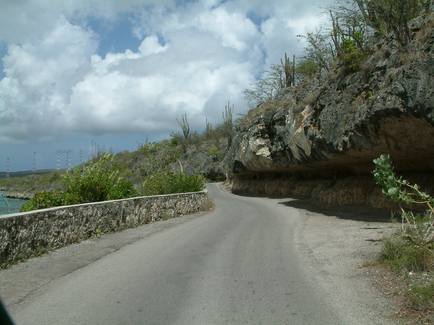
Just north of Kralendijk the terrain starts getting more mountainous. The coastal road north is narrow and, thank goodness, one-way for most of it's length. It presents a very rocky coastline.
Let's move on to a new page...
Updated July 2020